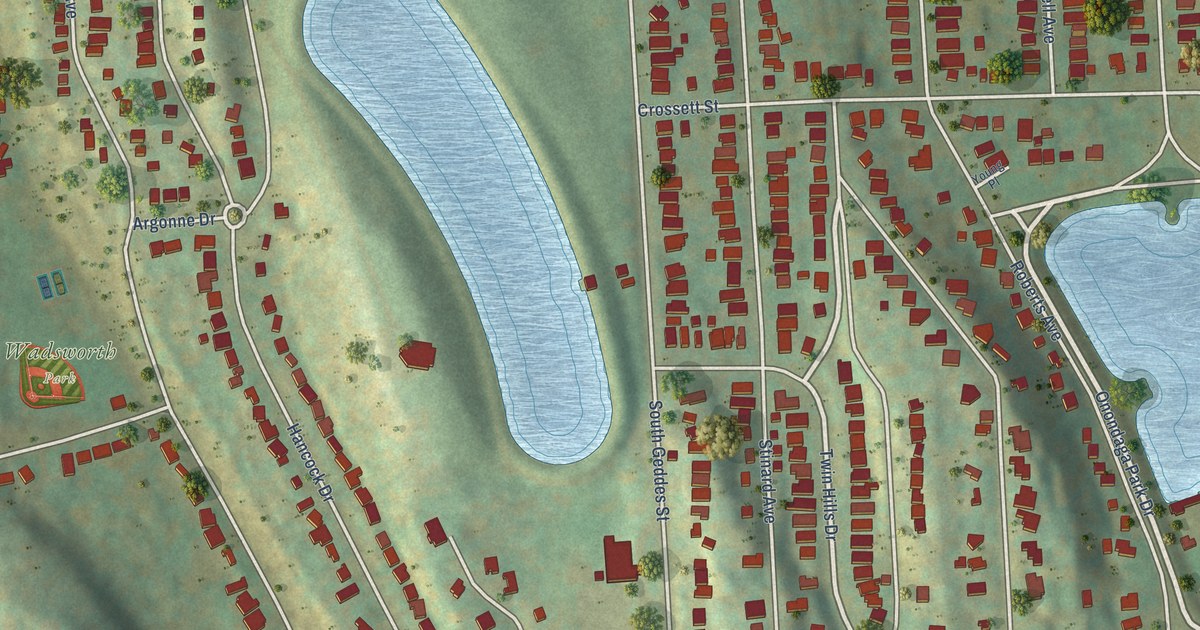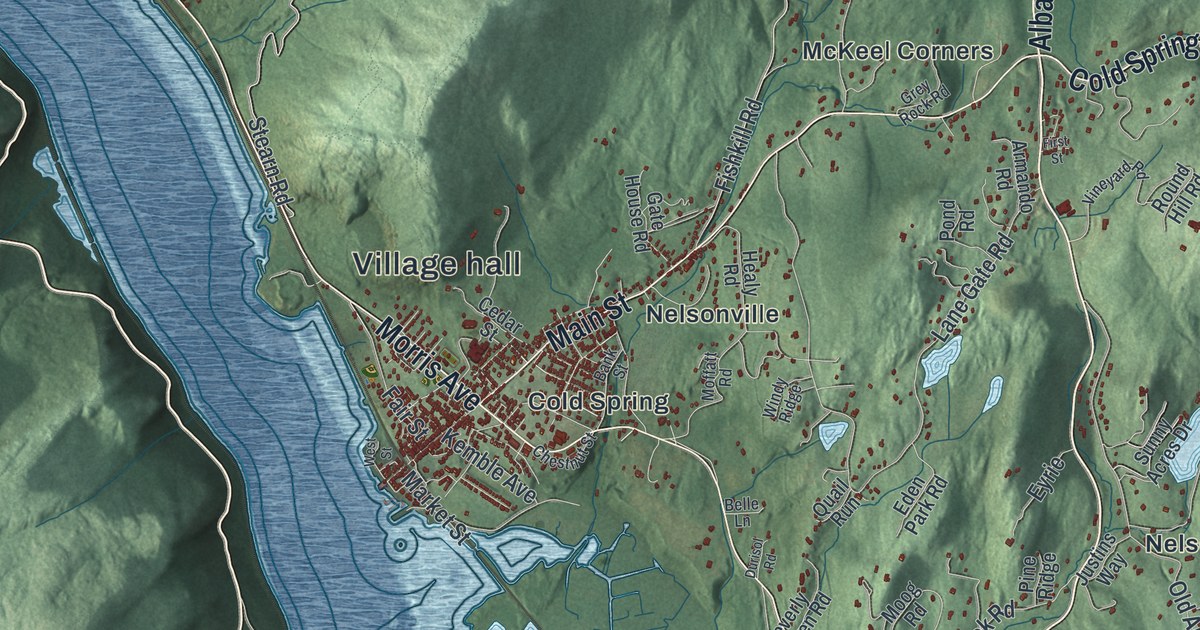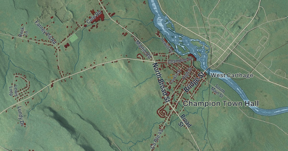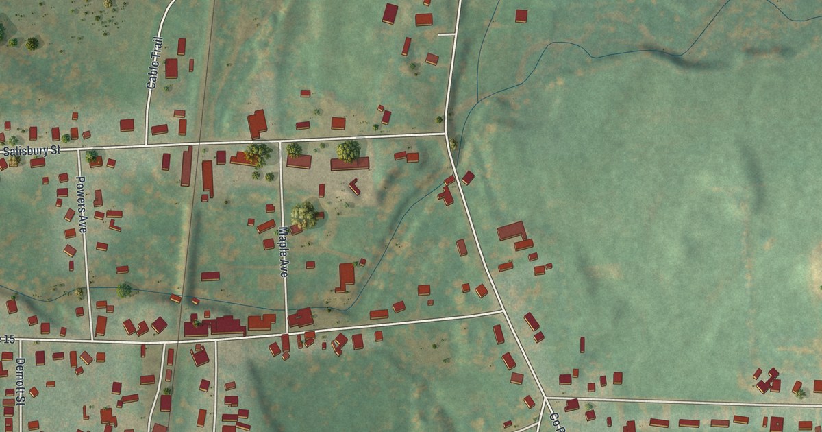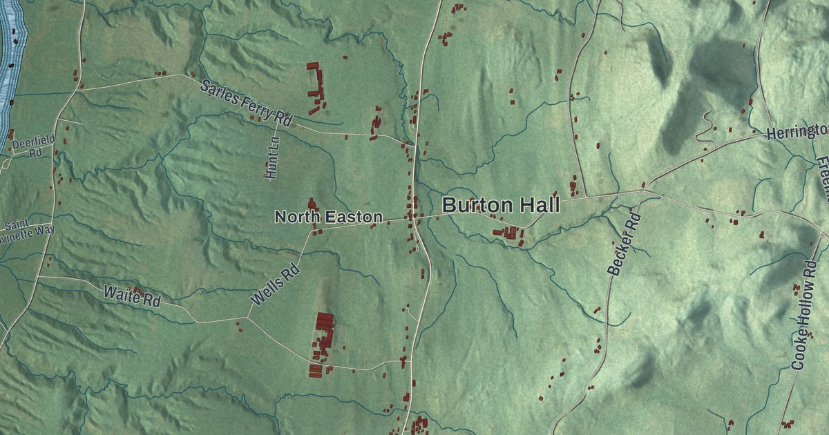
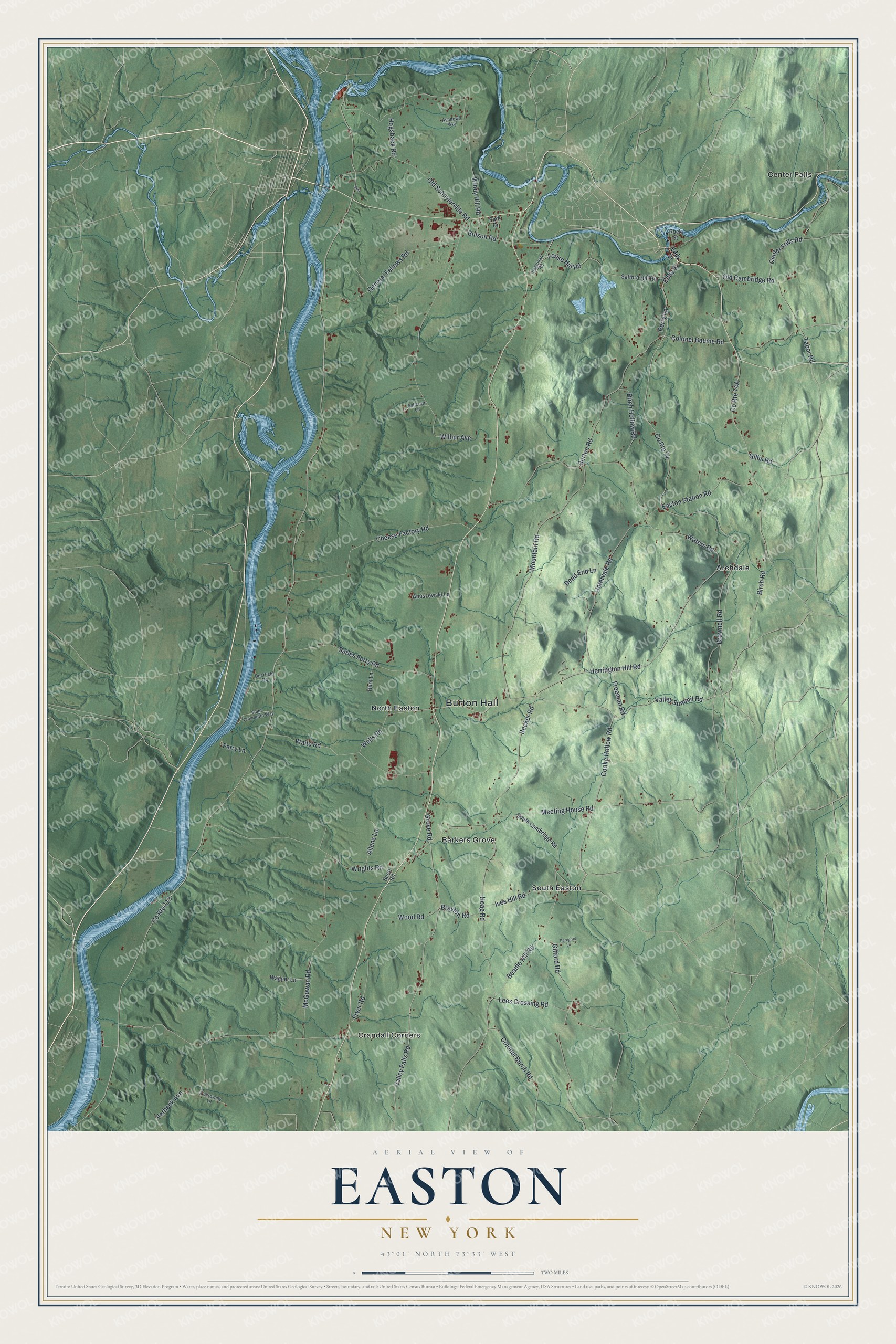
This beautifully detailed map of Easton, New York was created in 2026 using aerial imagery combined with modern topographical, census, street and landmark data. It’s a one-of-a-kind view of Easton that combines accurate data with a vintage aesthetic. The map shows every building in its true location, many of the roads carry their names, and the shaded topographic relief shows the shape of the land.
Explore an aerial view of Easton, New York
On the map you’ll find Burton Hall, Archdale, Barkers Grove, Center Falls, Crandall Corners, and North Easton, along with Herrington Hill Road, Louse Hill Road, Burton Road, Beadle Hill Road, and more. If you look closely you can even find your house accurately drawn in its correct location. Zoom in on the preview to look for yours.
Take a closer look at the Easton map
Names on this map
These names are printed on this map.
Places: Burton Hall, Archdale, Barkers Grove, Center Falls, Crandall Corners, North Easton and South Easton.
Streets and roads: County Route 113, Valley Falls Road, County Route 74, Valley Summit Road, Herrington Hill Road, Louse Hill Road, Burton Road, Beadle Hill Road, Meeting House Road, Wilbur Avenue, Mountain Road, Windy Hill Road.
More street names, A to Z
Allens Lane, Anuszewski Lane, Ashcroft Lane, Ashdown Way, Becker Road, Birch Hollow Road, Birch Road, Brayton Road, Brownell Road, Bulson Road, Center Falls Road, Cheese Factory Road, Colonel Baume Road, Colonel Burch Road, Cooke Hollow Road, Cukrovany Lane, Dead End Lane, Deerfield Road, Easton Station Road, Eddy Street, Ferry Lane, Freeman Road, Fryer Road, General Fellows Road, Gifford Road, Gillis Road, Grove Road, Hegeman Road, Hoag Road, Hogsback Road, Hunt Lane, Intervale Road, Ives Hill Road, Lees Crossing Road, McGowan Road, Old Cambridge Road, Old Schuylerville Road, Park Drive, Peregrim Lane, Perry Lane, Prdr, Rock Street, Safford Hill Road, Saint Canvinette Way, Sarles Ferry Road, Scott Road, South Cambridge Road, Tabor Road, Verbeck Avenue, Wagner Lane, Waite Road, Waters Road, Wells Road, Wood Road, Wrights Road.
See it on a wall
The Easton map as a framed print. Swipe for more.


This beautifully detailed map of Easton makes an attractive addition to your office, library, or den, and it can even be used to teach children the geography and history of the area. It also makes a great gift for anyone who grew up in Easton or moved away. When you’re done exploring, click here to get your copy of the Easton map.