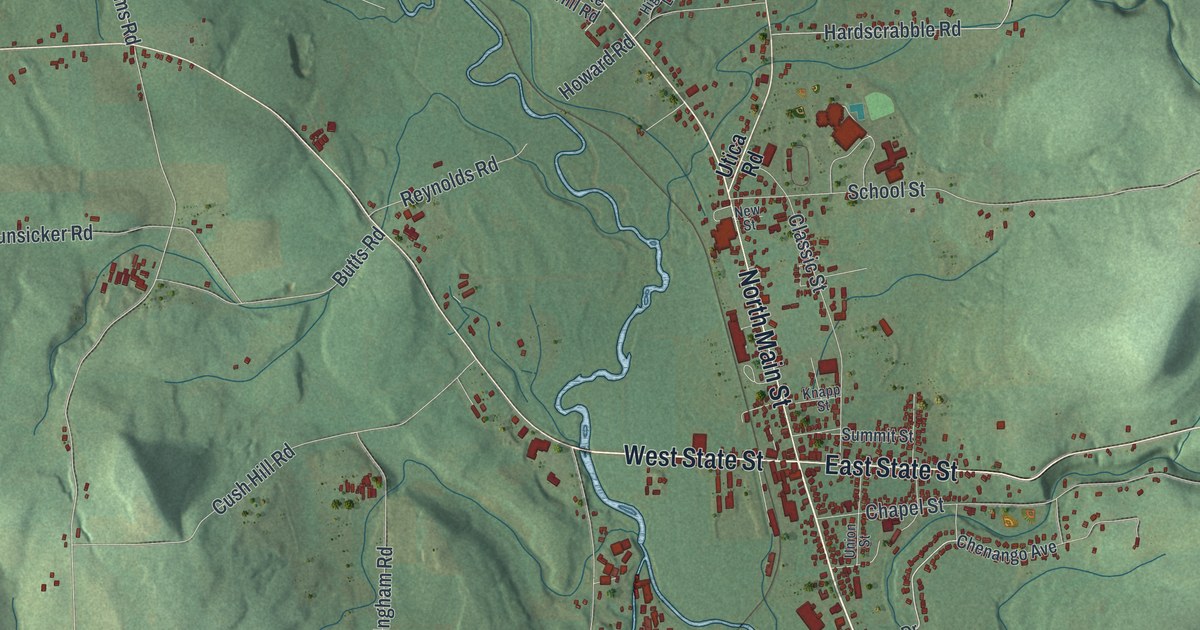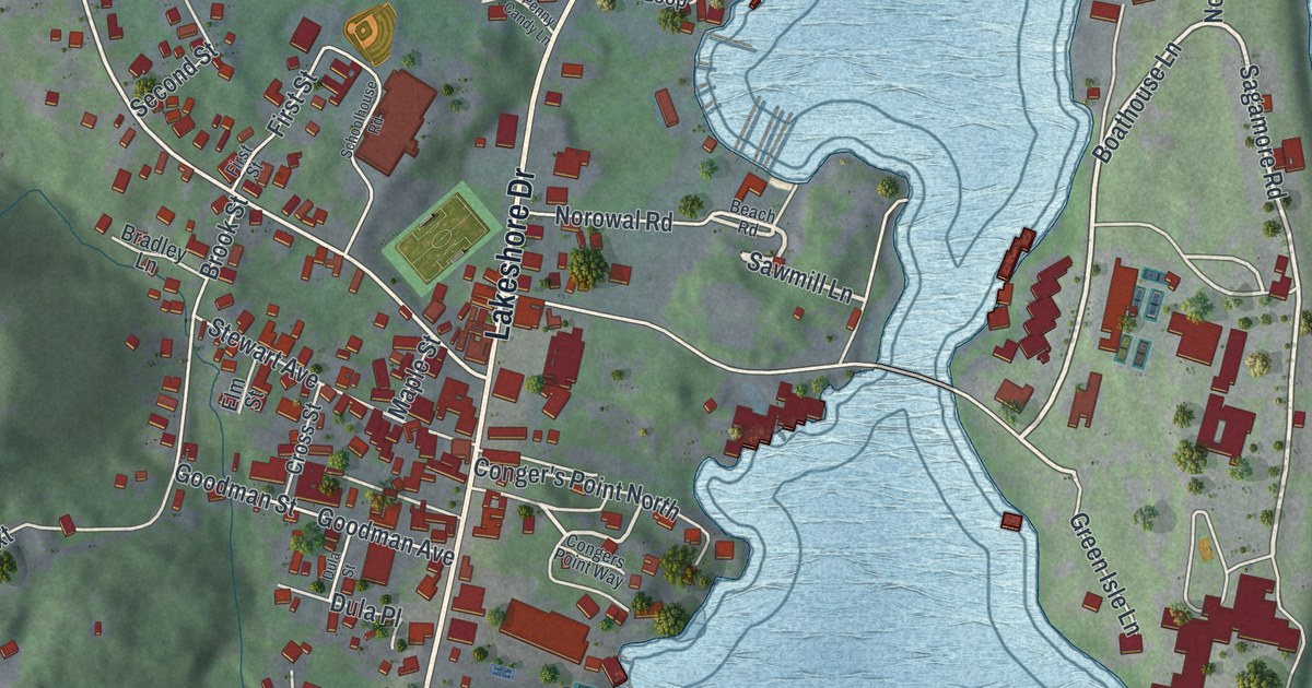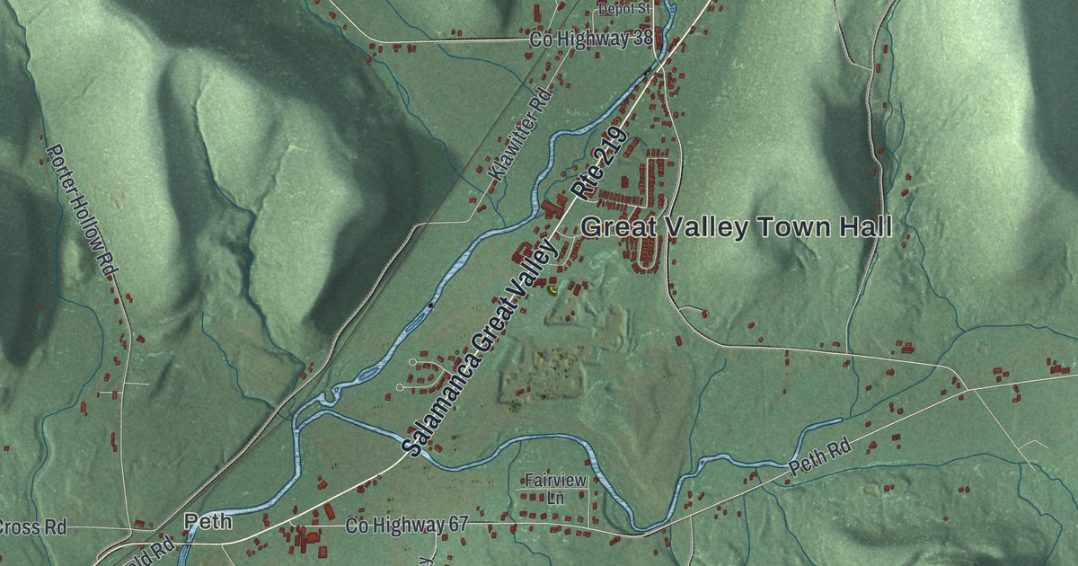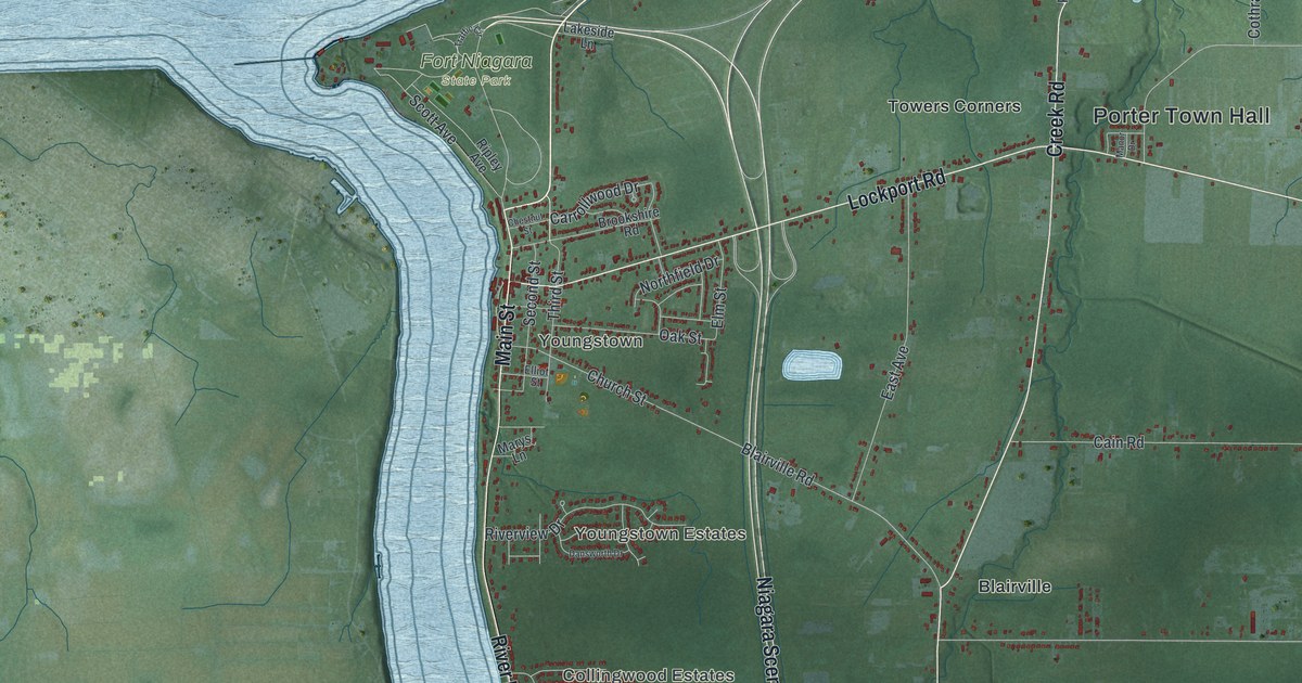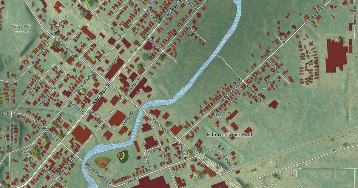
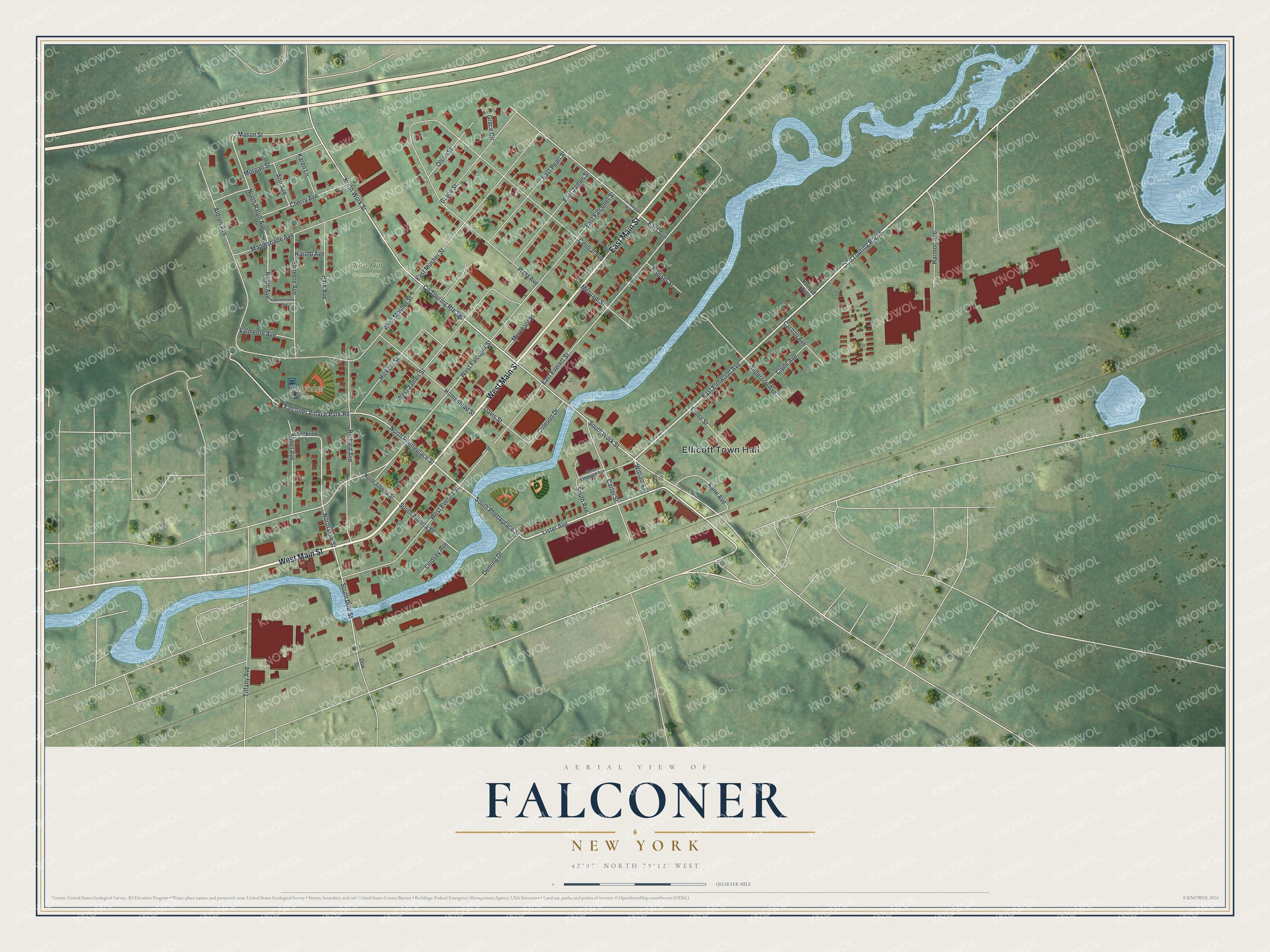
This beautifully detailed map of Falconer, New York was created in 2026 using aerial imagery combined with modern topographical, census, street and landmark data. It's a modern aerial view of Falconer in Chautauqua County, New York, that combines modern data with a vintage aesthetic. The roads feature printed names, and if you look closely you can find your exact house accurately shown in its correct location.
Explore an aerial view of Falconer, New York
On this map you'll find Ellicott Town Hall, Pine Hill Cemetery, Falconer Park, West Main Street, East Main Street, East Elmwood Avenue, Lister Avenue, Williams Street, South Phetteplace Street, South Work Street, North Work Street, North Phetteplace Street, and more. Each red shape is a building, so zoom in on the preview and look for yours.
Falconer is a village in Chautauqua County. The Census Bureau counted 2,269 people here in 2020. Falconer sits about 2 miles northeast of Jamestown, 4 miles east of Celoron and 5 miles northeast of Jamestown West. The map prints the town name in its title panel, with the coordinates below it.
Take a closer look at the Falconer map
Names on this map
These names are printed on this map.
Places: Ellicott Town Hall, Pine Hill Cemetery and Falconer Park.
Streets and roads: West Main Street, East Main Street, East Elmwood Avenue, Lister Avenue, Williams Street, South Phetteplace Street, South Work Street, North Work Street, North Phetteplace Street, Co Touring Route 65, West Falconer Street, North Ralph Avenue.
More street names, A to Z
Aldren Avenue, Almet Avenue, Anderson Avenue, Ann Avenue, Beckrink Street, Carlton Avenue, Carter Street, Central Avenue, Cherry Avenue, Clyde Avenue, Coleson Drive, Co Touring Route 380, Cross Street, Davis Street, Deming Drive, Dow Street, East Avenue, East Avenue North, East Everett Street, East Falconer Street, East James Street, East Mosher Street, East Pearl Street, Elmeere Avenue, Falconer Village Park Road, Grace Circle, Grace Street, Harmon Avenue, Harold Avenue, Hickory Street, Homestead Street, Kane Avenue, Karen Lane, Kimball Avenue, Lindsey Avenue, Mapleshade Avenue, Mason Street, Merchant Place, Merriam Street, Morgan Street, North Alberta Street, North Dow Street, Olson Street, Park Avenue, Prosser Street, Ralph Avenue, Richard Avenue, South Alberta Street, South Avenue, South Dow Street, Tiffany Avenue, Valmeere Avenue, Waldemeere Avenue, West Avenue, West Elmwood Avenue, West Everett Street, West James Street, West Mosher Street.
See it on a wall
The Falconer map as a framed print. Swipe for more.


Created by KNOWOL in 2026. The buildings are small red shapes, the roads carry their printed names, and shaded relief shows the shape of the land. The title panel reads "AERIAL VIEW OF FALCONER, NEW YORK" with 42°07' NORTH 79°12' WEST.
It suits a den, a classroom or a front hall, and it makes a gift for anyone with Falconer roots. Open the preview and find the block you know. See sizes and frames for the Falconer map.