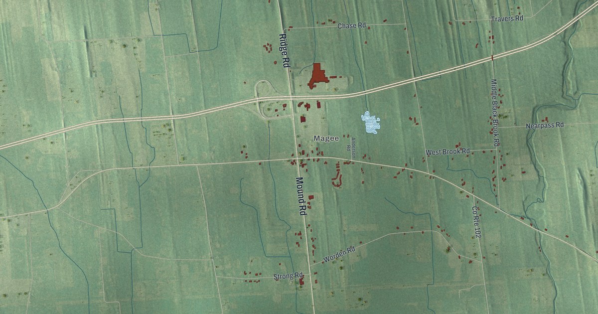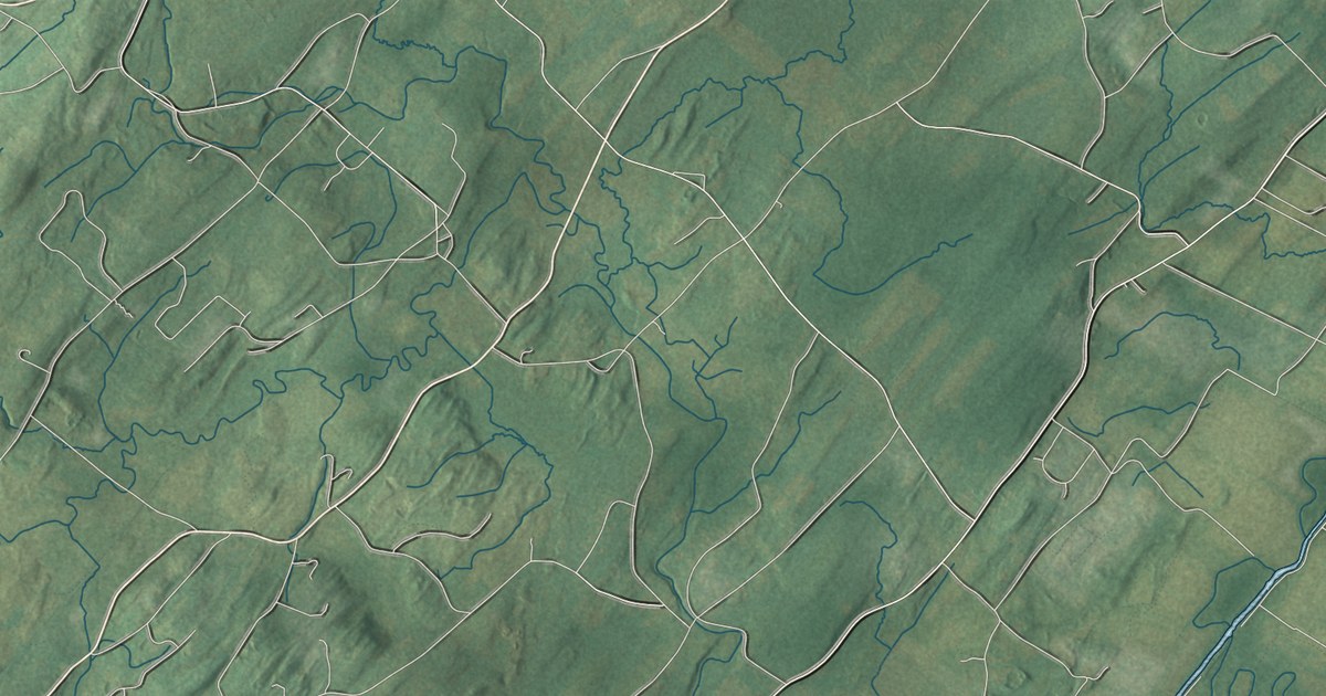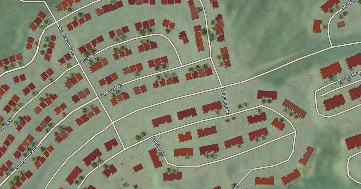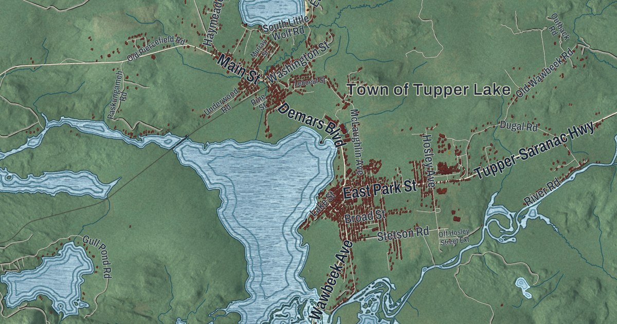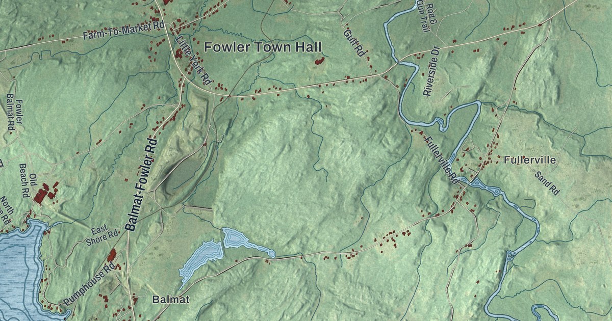
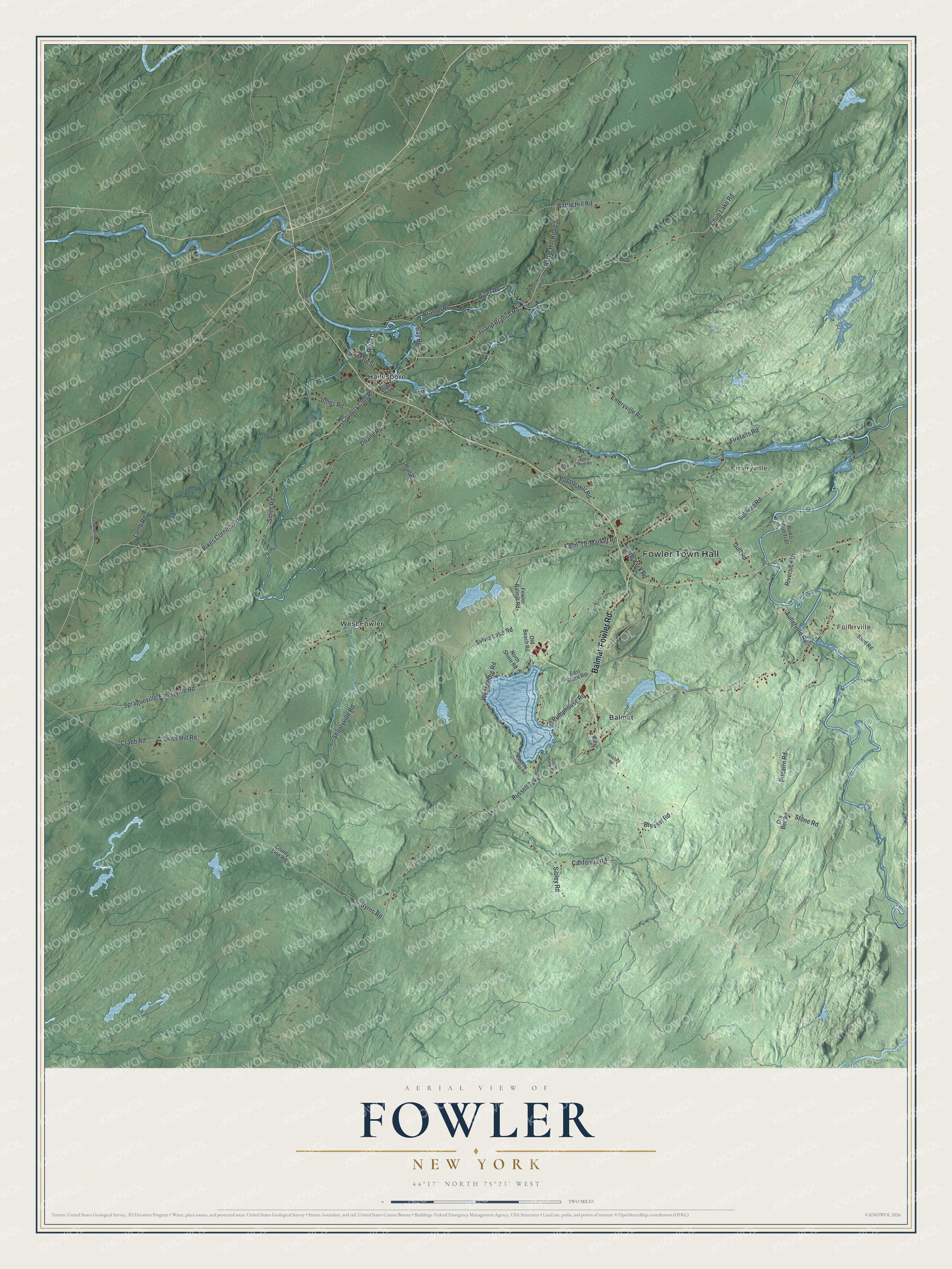
This beautifully detailed map of Fowler, New York was created in 2026 using aerial imagery combined with modern topographical, census, street and landmark data. It’s a one-of-a-kind view of Fowler that combines accurate data with a vintage aesthetic. The map shows every building in its true location, many of the roads carry their names, and the shaded topographic relief shows the shape of the land.
Explore an aerial view of Fowler, New York
On the map you’ll find Fowler Town Hall, Fullerville, Emeryville, Balmat, Hailesboro, and West Fowler, along with Balmat-Fowler Road, Island Branch Road, Chub Lake Road, Country Club Road, and more. If you look closely you can even find your house accurately drawn in its correct location. Zoom in on the preview to look for yours.
Did You Know?
Brigadier General James Haile settled here first, buying a square mile of land in 1807. Mills rose on the river that same year. Many families left in the War of 1812. Steady settlement waited until 1820. The town was named for Theodosius Fowler, a Revolutionary War captain who owned land here.
Take a closer look at the Fowler map
Names on this map
These names are printed on this map.
Places: Fowler Town Hall, Fullerville, Emeryville, Balmat, Hailesboro and West Fowler.
Streets and roads: Balmat-Fowler Road, Island Branch Road, Chub Lake Road, Country Club Road, Pikes Corners Road, Russell Turnpike, Smith Road, Farm-To-Market Road, Pitcairn Road, Byrns Road, Battle Hill Road, Emeryville Road.
More street names, A to Z
Battle Hill Road 2, Bay Road, Branch Road, Bresset Road, California Road, County Line Road, Crabb Road, Doane Road, Dublin Avenue, East Shore Road, Firefalls Road, Fowler Balmat Road, Fullerville Road, Glasby Road, Gulf Road, Hull Road, Jones Road, Lamb Road, Little York Road, Main Street, Mansion Grounds Road, North Shore Road, North Woods Road, Old Beach Road, Ore Bed Road, Piney River Road, Popple Hill Road, Pumphouse Road, River Drive, River Road, Riverside Drive, Rod & Gun Trail, Sand Road, Shantyville Road, Sibley Road, South Shore Road, Spragueville-Emeryville Road, Spragueville Road, Stone Road, Sullivan Road, Swiss Hill Road, Sylvia Lake Road, West Shore Road, West Street, Whitford Road.
See it on a wall
The Fowler map as a framed print. Swipe for more.


This beautifully detailed map of Fowler makes an attractive addition to your office, library, or den, and it can even be used to teach children the geography and history of the area. It also makes a great gift for someone who left Fowler and still calls it home. When you’re done exploring, click here to get your copy of the Fowler map.