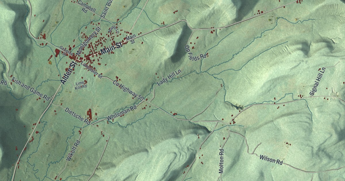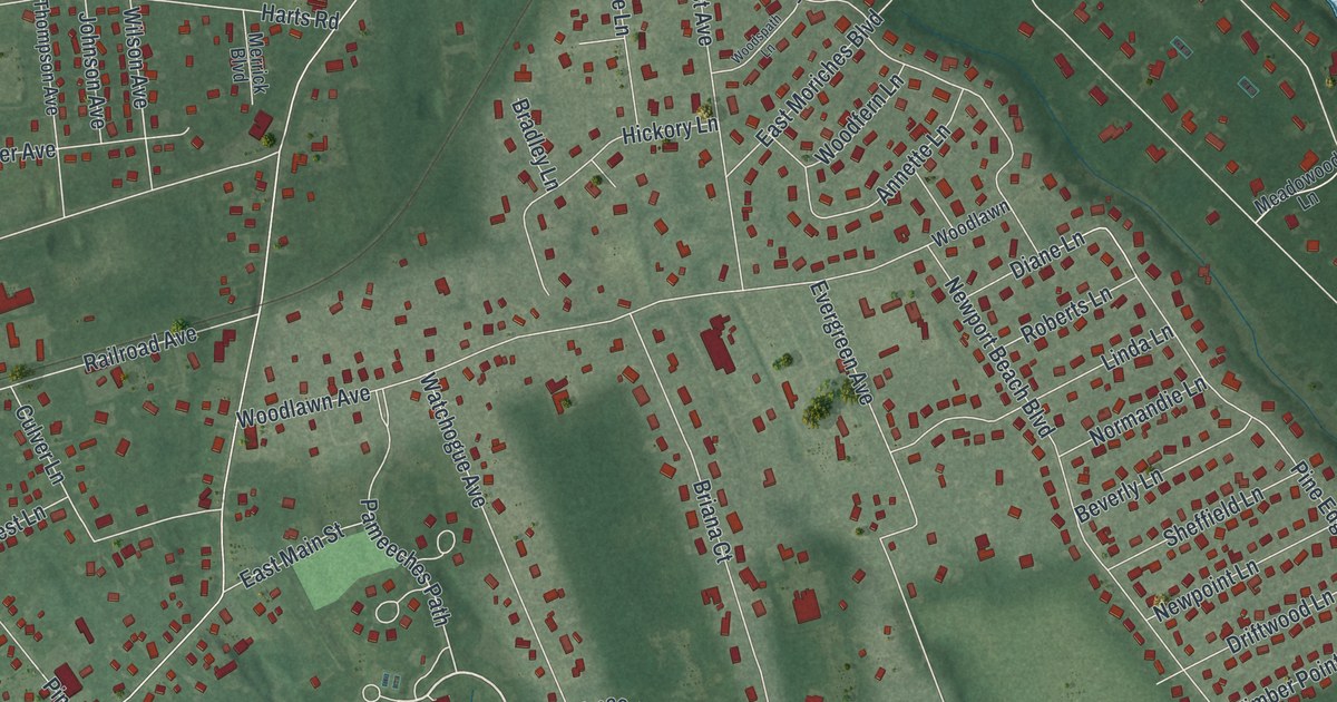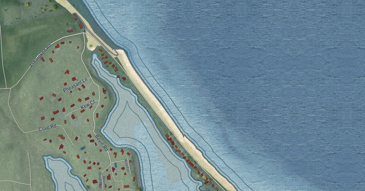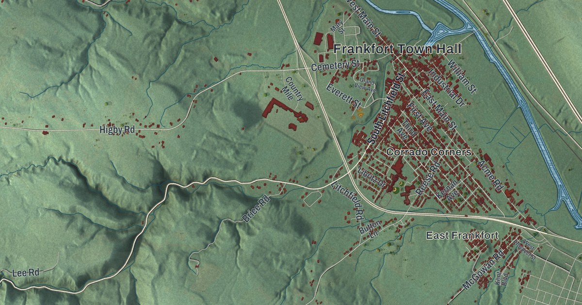
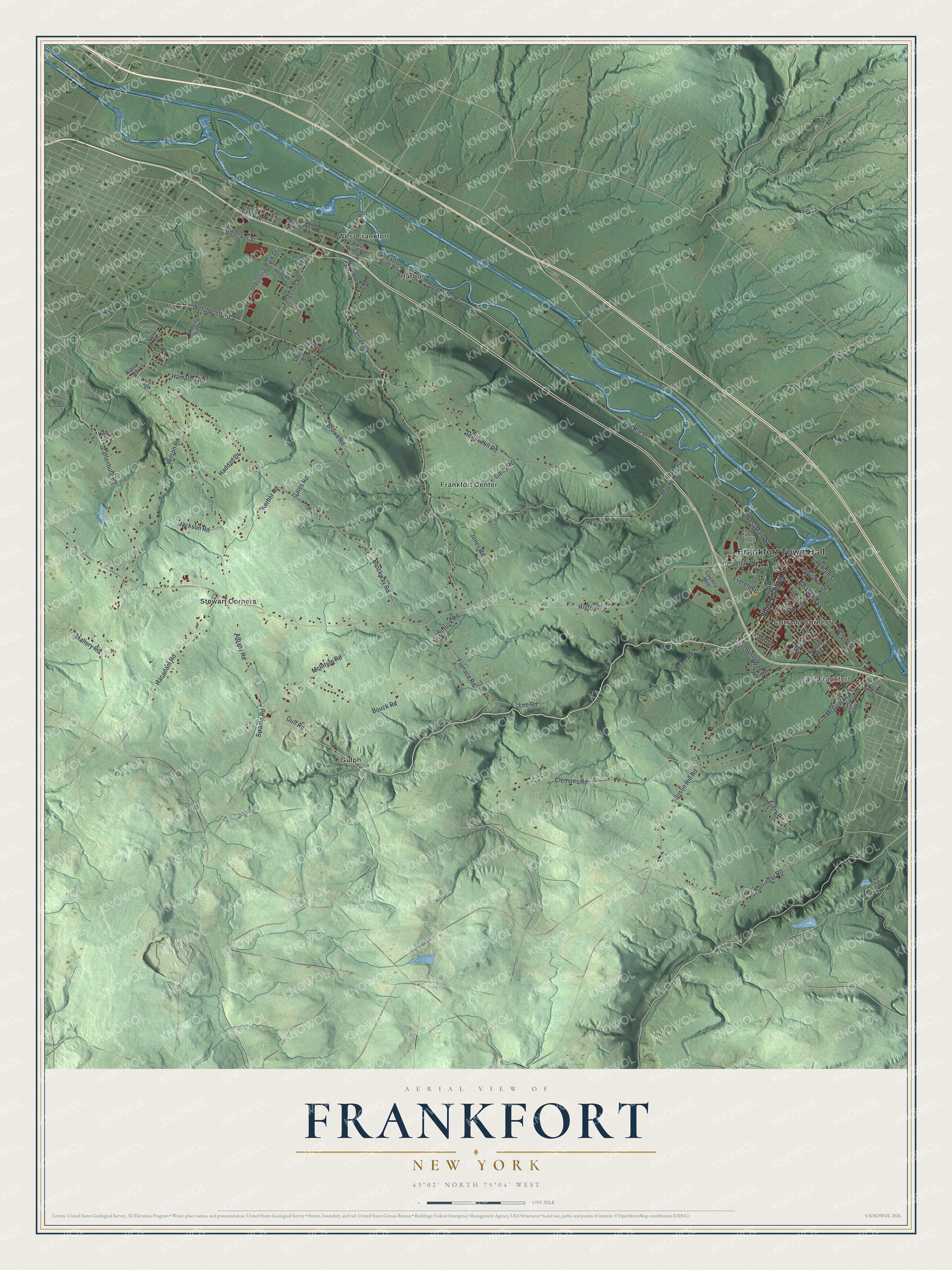
This beautifully detailed map of Frankfort, New York was created in 2026 using aerial imagery combined with modern topographical, census, street and landmark data. It’s a one-of-a-kind view of Frankfort that combines accurate data with a vintage aesthetic. The map shows every building in its true location, many of the roads carry their names, and the shaded topographic relief shows the shape of the land.
Explore an aerial view of Frankfort, New York
On the map you’ll find Frankfort Town Hall, East Frankfort, Corrado Corners, Frankfort Center, Gulph, and Harbor, along with Litchfield Street, Southside Road, Main Street, Dyke Road, and more. If you look closely you can even find your house accurately drawn in its correct location. Zoom in on the preview to look for yours.
Did You Know?
The town is named for Lawrence Frank, also called Lewis, one of its earliest settlers. German Palatine refugees first came to the area in 1723. French raids with Indian allies drove most families away during the French and Indian War. New land patents brought settlers back before 1794, and Frankfort was later formed from German Flatts.
Take a closer look at the Frankfort map
Names on this map
These names are printed on this map.
Places: Frankfort Town Hall, East Frankfort, Corrado Corners, Frankfort Center, Gulph, Harbor, Stewart Corners and West Frankfort.
Streets and roads: Southside Road, West Main Street, Dyke Road, East Main Street, Gulf Road, Center Road, Bleecker Street, Higby Road, Swamp Road, Graffenburg Road, Albany Road, Brockway Road.
More street names, A to Z
Acme Road, Argile Road Road, Avery Road, Barringer Road, Bouck Road, Brice Road, Broad Street, Brown Road, Button Lane, Cemetery Street, Clemons Road, Country Mile, Daley Road, Dutch Hill Road, East River Road, Everett Street, Ferguson Road, First Avenue, Floral Drive, Frankfort Center Road, Furnace Road, Gates Road, Grand View Avenue, Hacadam Road, Haddad Drive, Hampton Road, Hardiman Place, Harts Drive, Hi Sy Vw, Industrial Drive, Industrial Park Drive, Jackson Road, Jones Road, Joslin Hill Road, Kent Boulevard, Kerber Road, Kernan Avenue, Lee Road, Libritz Drive, Litchfield Road, Mallory Road, Mary Street, McGowan Road, McIntyre Road, Mucky Run Road, Reese Road, Ripley Road, Rolling Hills Drive, School Lane, Sheila Place, South Litchfield Street, Taft Avenue, Third Avenue, Towne Road, Welshbush Road, West Prospect Street, West River Road, Widrick Road, William Street, Wilson Road, Zolad Road, Zorr Avenue.
See it on a wall
The Frankfort map as a framed print. Swipe for more.


This beautifully detailed map of Frankfort makes an attractive addition to your office, library, or den, and it can even be used to teach children the geography and history of the area. It also makes a great gift for someone who left Frankfort and still calls it home. When you’re done exploring, click here to get your copy of the Frankfort map.