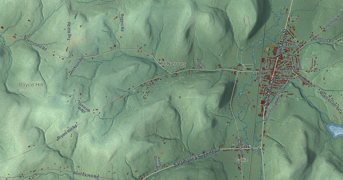
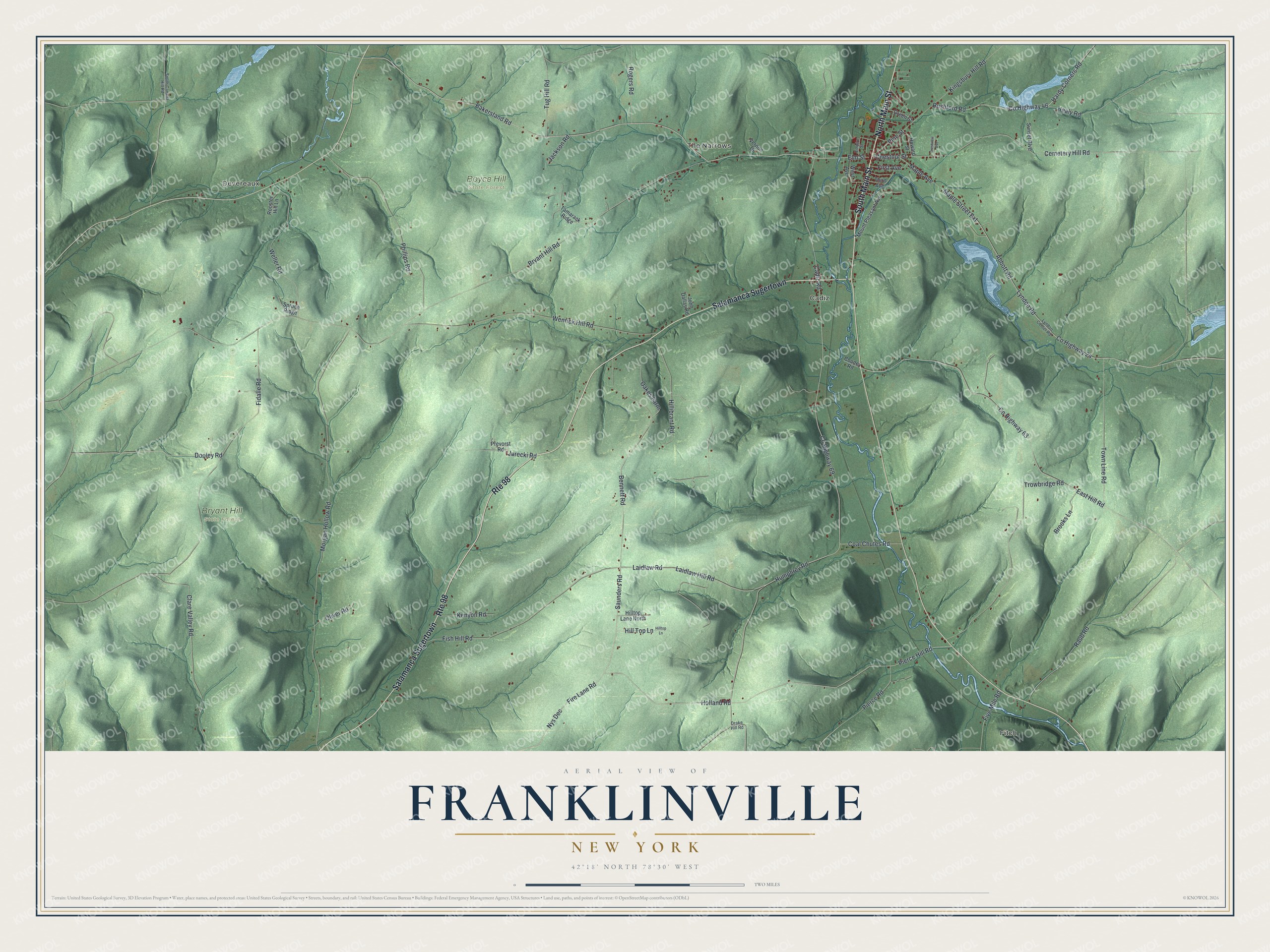
This beautifully detailed map of Franklinville, New York was created in 2026 using aerial imagery combined with modern topographical, census, street and landmark data. It’s a one-of-a-kind view of Franklinville that combines accurate data with a vintage aesthetic. The map shows every building in its true location, many of the roads carry their names, and the shaded topographic relief shows the shape of the land.
Explore an aerial view of Franklinville, New York
On the map you’ll find Salamanca Sugertown, Fitch, Devereaux, The Narrows, Cadiz, Boyce Hill State Forest, and Bryant Hill State Forest, along with Main Street, Saunders Road, Elm Street, Bakerstand Road, and more. If you look closely you can even find your house accurately drawn in its correct location. Zoom in on the preview to look for yours.
Did You Know?
Franklinville took its name in 1824 to honor William Temple Franklin, who had just died. He was the grandson of Benjamin Franklin. In his later years he worked as an agent for the Holland Land Company. The town had earlier been called Hebe and then Ischua.
Take a closer look at the Franklinville map
Names on this map
These names are printed on this map.
Places: Fitch, Devereaux, The Narrows, Cadiz, Boyce Hill State Forest and Bryant Hill State Forest.
Streets and roads: South Main Street, Route 98, Salamanca Sugertown, North Main Street, Saunders Road, Elm Street, County Highway 24, Bakerstand Road, Holland Road, Maple Street Extension, Pierce Hill Road, Jurecki Road.
More street names, A to Z
Abbott Road, Bennett Road, Brooks Lane, Bryant Hill Road, Cadiz Road, Cemetery Hill Road, Chestnut Street, Clare Valley Road, Coal Chutes Road, Cooney Road, County Highway 46, County Highway 63, County Highway 69, Crestview Avenue, Dooley Road, Drake Hill Road, East Hill Road, Empire Street, Fidalle Road, Fire Lane Road, First Avenue, Fish Hill Road, Five Mile Road, Green Street, Hardy Corners Road, Healy Road, Hillibrant Road, Hill Top Lane, Hilltop Lane, Hilltop Lane North, Howard Street, Humphrey Road, Jackson Road, John Dallas Road, Kenyon Road, Kingsbury Hill Road, Laidlaw Hill Road, Laidlaw Road, Lyndon Center Road, Lyndon Road, Maple Avenue, Morgan Hollow Road, Mount Pleasant Avenue, Nys Dec, Oakes Farm, Oliver Road, Phillips Road, Pierce Road, Pine Street, Prevorst Road, Raub Road, Rogers Road, Rooster Hill Lane, Rushford Road, South Canada Hill Road, Spruce Ridge, Sunset Boulevard, Tamarack Ridge, Third Avenue, Town Line Road, Trowbridge Road, Tug Hill Road, Vernon Drive, Weller Road, Wenrick Hill Road, West Avenue.
See it on a wall
The Franklinville map as a framed print. Swipe for more.


This beautifully detailed map of Franklinville makes an attractive addition to your office, library, or den, and it can even be used to teach children the geography and history of the area. It also makes a great gift for anyone who grew up in Franklinville or moved away. When you’re done exploring, click here to get your copy of the Franklinville map.