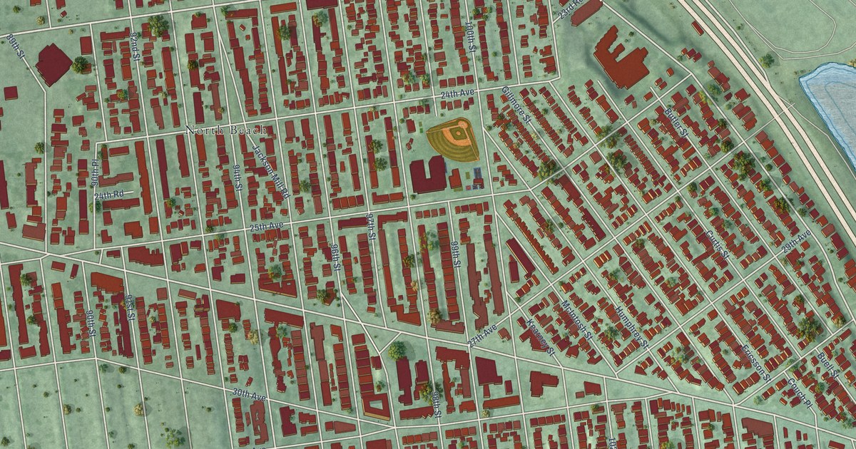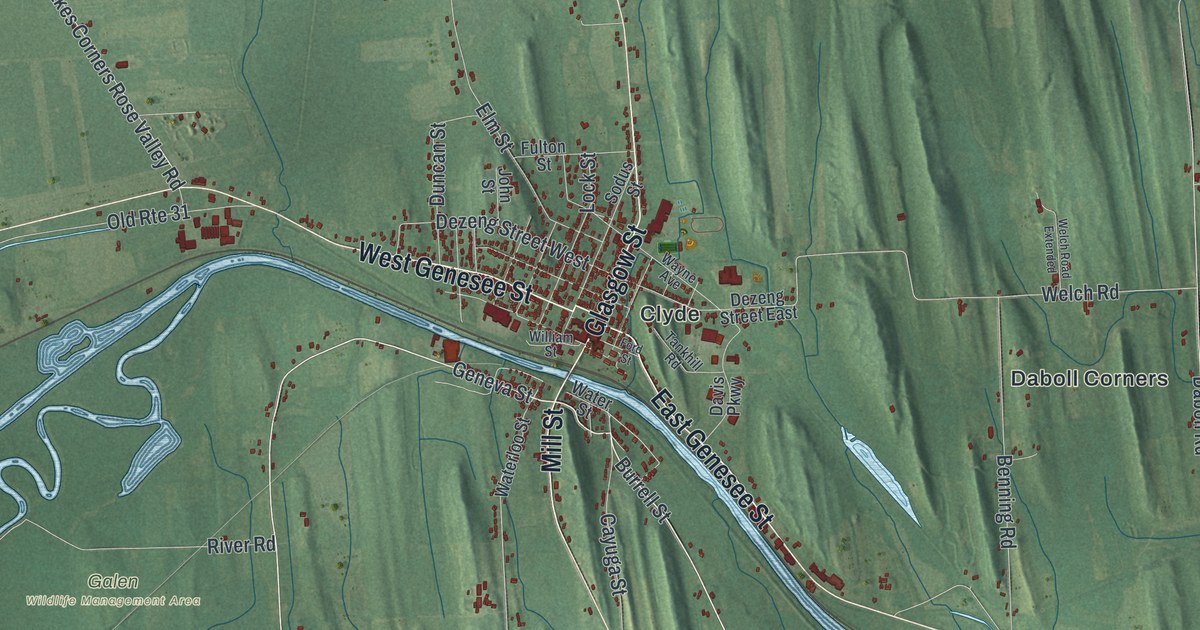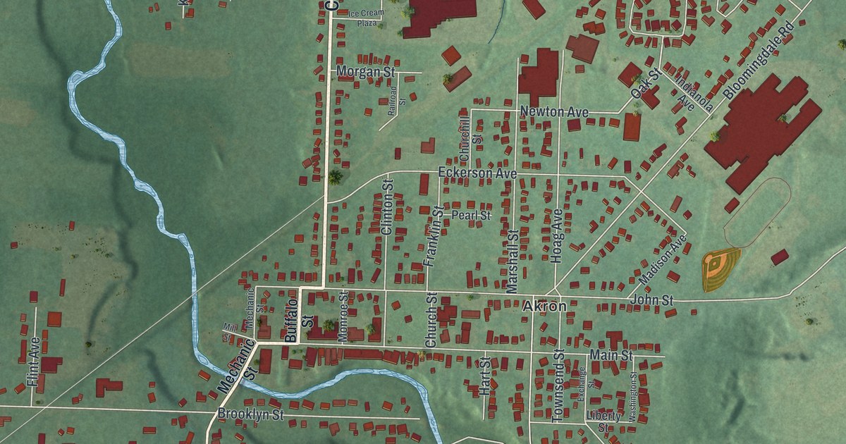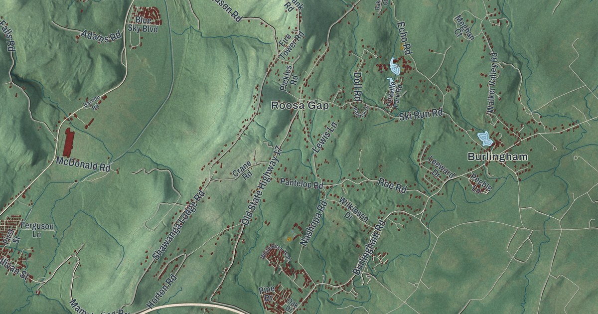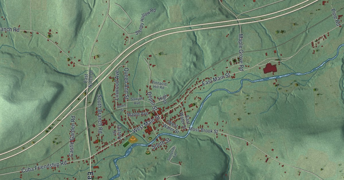
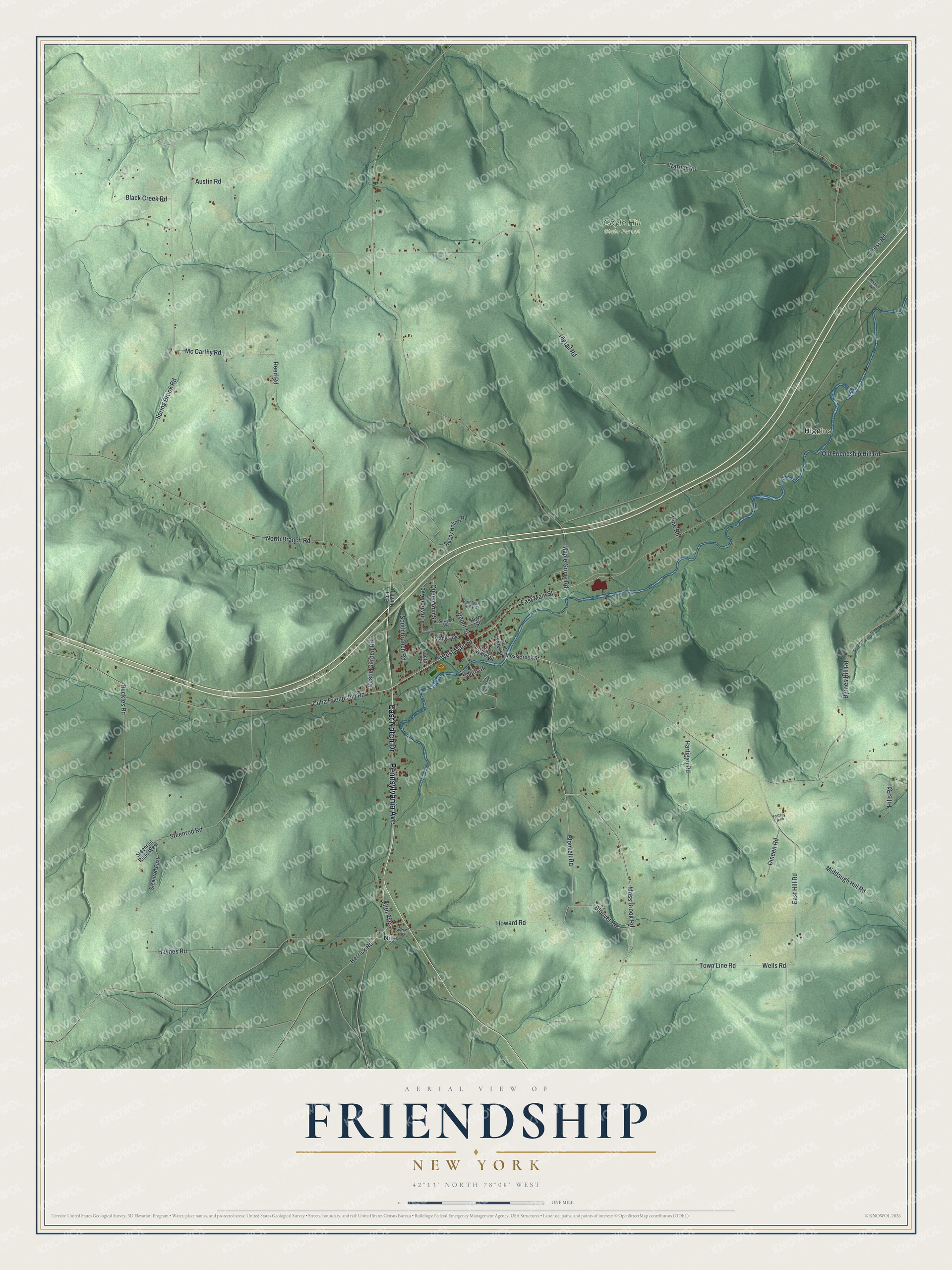
This beautifully detailed map of Friendship, New York was created in 2026 using aerial imagery combined with modern topographical, census, street and landmark data. It’s a one-of-a-kind view of Friendship that combines accurate data with a vintage aesthetic. The map shows every building in its true location, many of the roads carry their names, and the shaded topographic relief shows the shape of the land.
Explore an aerial view of Friendship, New York
On the map you’ll find Higgins, Nile, and Coyle Hill State Forest, along with Notch Drive, Pennsylvania Avenue, Moss Brook Road, Main Street, Wells Road, and more. If you look closely you can even find your house accurately drawn in its correct location. Zoom in on the preview to look for yours.
Did You Know?
Settlers arrived around 1806. The spot was first known as Bloody Corners because of constant feuding and weekend brawls. Offended residents went the other way and gave it the name Friendship. The town was formed in 1815 from part of Caneadea.
Take a closer look at the Friendship map
Names on this map
These names are printed on this map.
Places: Higgins, Nile and Coyle Hill State Forest.
Streets and roads: East Notch Drive, Pennsylvania Avenue, Moss Brook Road, West Main Street, Wells Road, Blouvet Road, Cuba Friendship Road, Howard Road, Hess Road, Fifth Avenue, Middaugh Hill Road, Pigtail Road.
More street names, A to Z
Austin Road, Black Creek Road, Blouvelt Road, Byrnes Hill Road, Castle Garden Road, Depot Street, Dineen Road, East Hill Road, East Main Street, East Water Street, Factory Street, Foster Road, Hartigan Road, Haynes Road, Herrick Road, High Street, Hills Road, Linwood Avenue, Maple Avenue, Maple Grove Road, Mc Carthy Road, Moss Brook Street, North Branch Road, Old Friendship Hill Road, Pine Road, Pinnacle Hill Road, Queen Ann Street, Reed Road, Ruckles Road, Sawyer Avenue, Sleepy Hollow Road, South Branch Road, South Street, Spring Brook Road, Steenrod East, Steenrod Road, Steenrod Road West, Sunnyside Extension, Times Square, Town Line Road, Vorhis Street, Warner Road, West Water Street, Whittier Road.
See it on a wall
The Friendship map as a framed print. Swipe for more.


This beautifully detailed map of Friendship makes an attractive addition to your office, library, or den, and it can even be used to teach children the geography and history of the area. It also makes a great gift for anyone who grew up in Friendship or moved away. When you’re done exploring, click here to get your copy of the Friendship map.