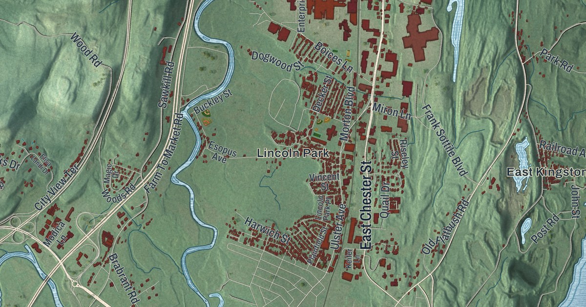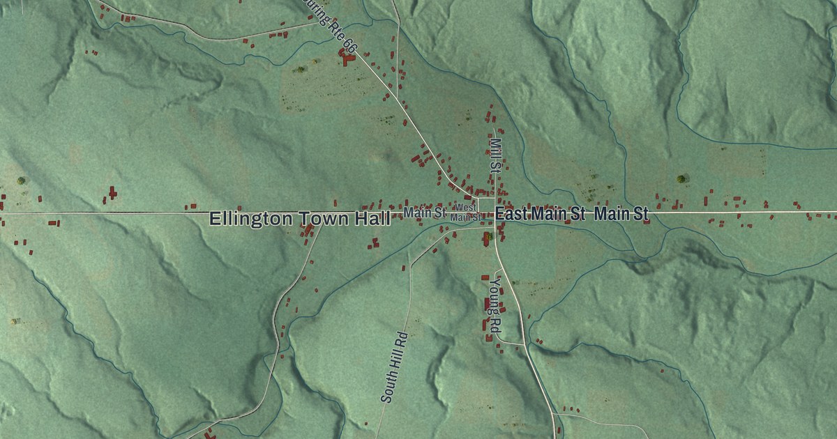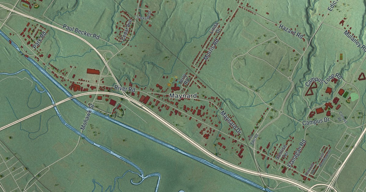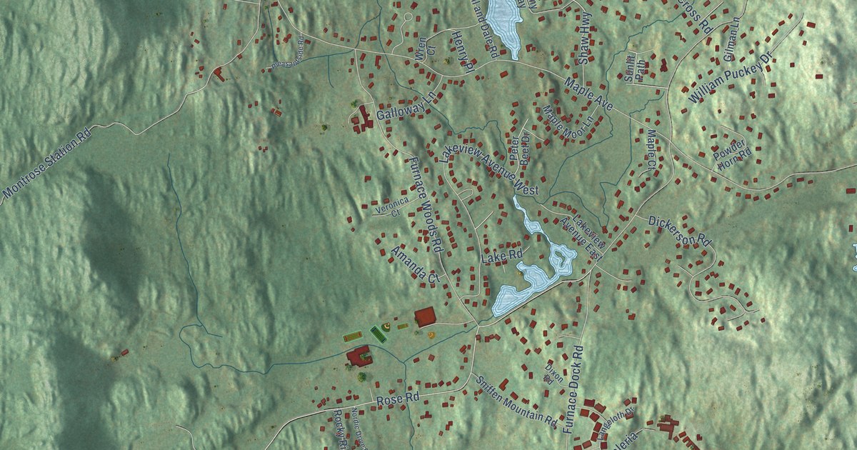
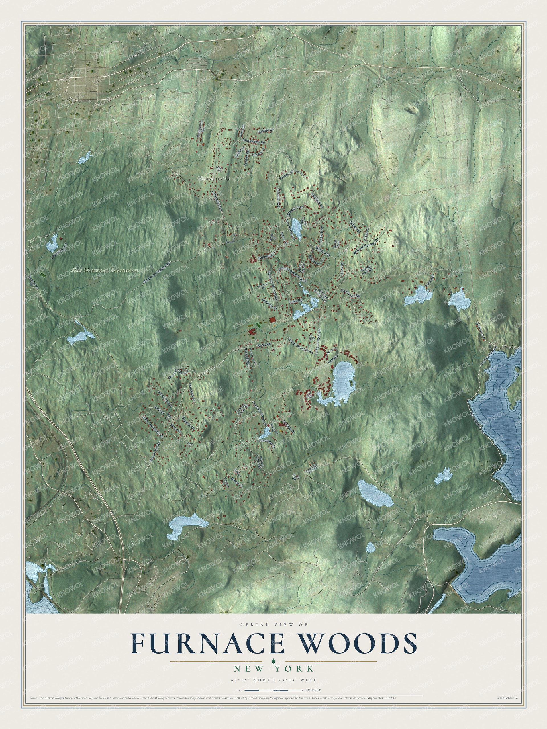
This beautifully detailed map of Furnace Woods, New York was created in 2026 using aerial imagery combined with modern topographical, census, street and landmark data. It’s a one-of-a-kind view of Furnace Woods that combines accurate data with a vintage aesthetic. The map shows every building in its true location, many of the roads carry their names, and the shaded topographic relief shows the shape of the land.
Explore an aerial view of Furnace Woods, New York
On the map you’ll find Dixie, Pleasantside, Blue Mountain Reservation, and Nyc Road 5-1/2, along with Croton Dam Road, Croton Avenue, Dimond Avenue, Upward Trail, Furnace Dock Road, Maple Avenue, Rose Road, Watch Hill Road, and more. If you look closely you can even find your house accurately drawn in its correct location. Zoom in on the preview to look for yours.
Did You Know?
From Internet Archive: "The church is now on a circuit including also the Furnace Woods and Centerville Methodist Episcopal Churches."
Furnace Woods is a community in Westchester County.
Take a closer look at the Furnace Woods map
Names on this map
These names are printed on this map.
Places: Dixie, Pleasantside and Blue Mountain Reservation.
Streets and roads: Croton Dam Road, Croton Avenue, Dimond Avenue, Upward Trail, Furnace Dock Road, Maple Avenue, Rose Road, Watch Hill Road, Montrose Station Road, Furnace Woods Road, Lakeview Avenue West, Furnace Brook Drive.
More street names, A to Z
Ada Lane, Aida Lane, Amanda Court, Binger Way, Blake Lane, Brook Lane, Buttonwood Avenue, Colabaugh Pond Road, Cross Road, Damian Way, Dickerson Road, Dixon Road, Elena Court, Elena Drive, Faith Walk, Flanders Lane, Furnace Brook Road, Galloway Lane, Gilman Lane, Greenlawn Road, Habitat Lane, Henry Place, Hill and Dale Road, Hillside Drive, Inwood Lane East, John Alexander Drive, John Cava Lane, Knoll Road, Lafayette Avenue, Lake Road, Lakeview Avenue East, Lakeview Drive, Langeloth Drive, Lounsbury Lane, Maple Court, Maple Moor Lane, Mapleview Drive, Mountain Side Trail, Nordic Drive East, Oak Lane, Peter Beet Drive, Pleasantside Road, Powder Horn Road, Red Oak Lane, Ridge Road, Robbie Road, Roberta Drive, Rocky Ridge, Rustling Lane, Shaw Highway, Sniffen Mountain Road, Sonoma Road, Spruce Lane, Stephen Lane, Sunlit Path, Sunny Way, Valeria, Veronica Court, Washington Street, William Puckey Drive, Wren Court.
See it on a wall
The Furnace Woods map as a framed print. Swipe for more.


This beautifully detailed map of Furnace Woods makes an attractive addition to your office, library, or den, and it can even be used to teach children the geography and history of the area. It also makes a great gift for anyone who grew up in Furnace Woods or moved away. When you’re done exploring, click here to get your copy of the Furnace Woods map.