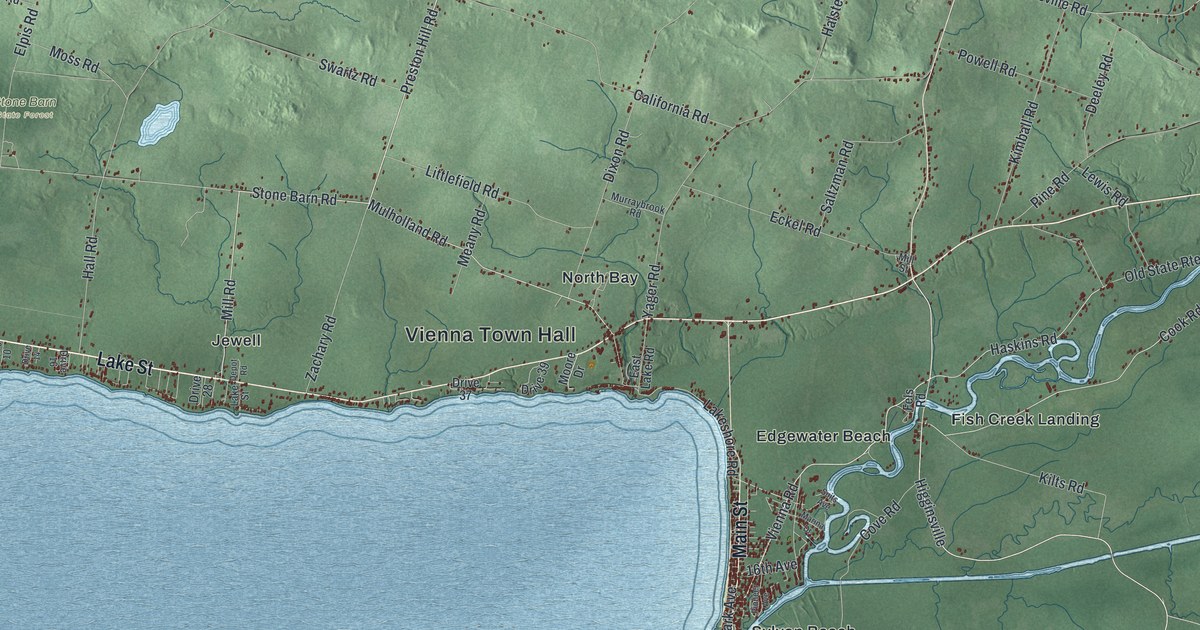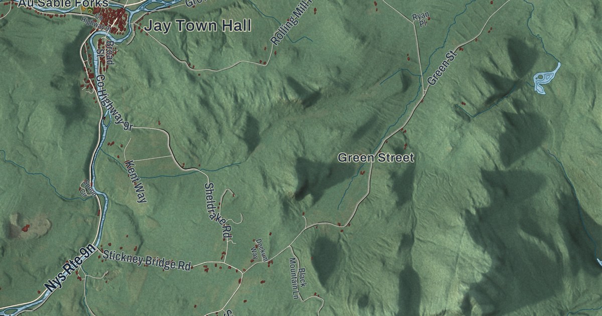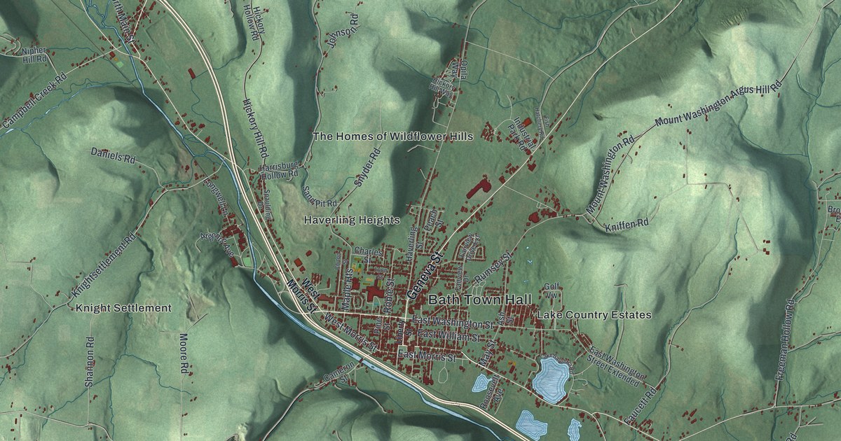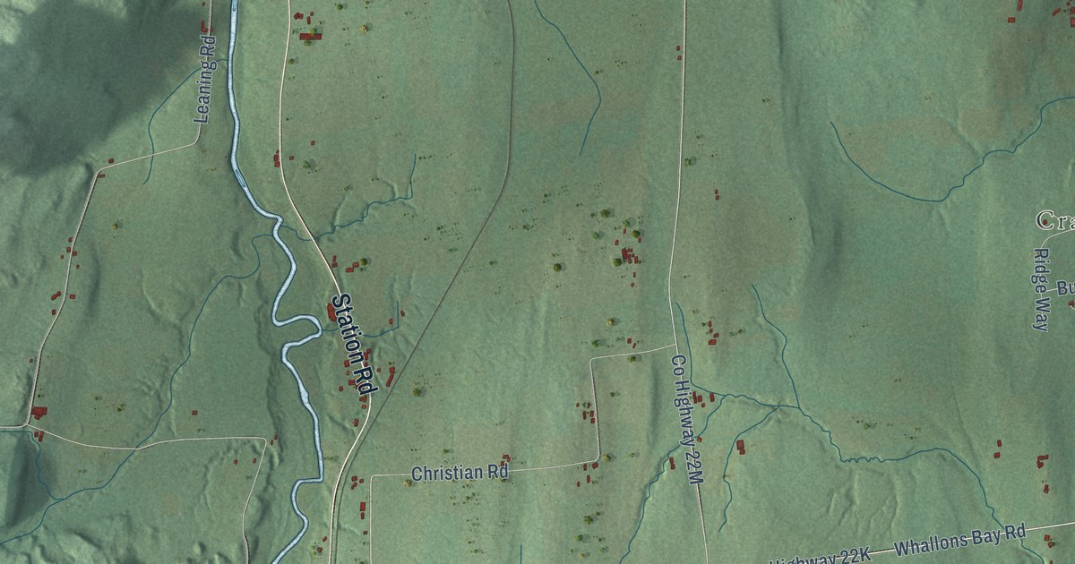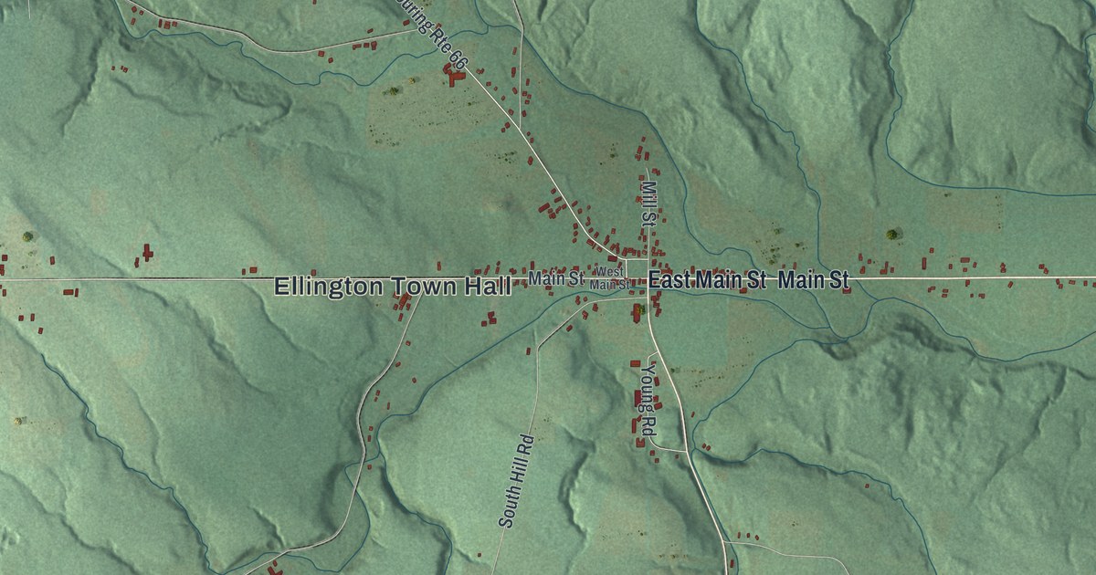
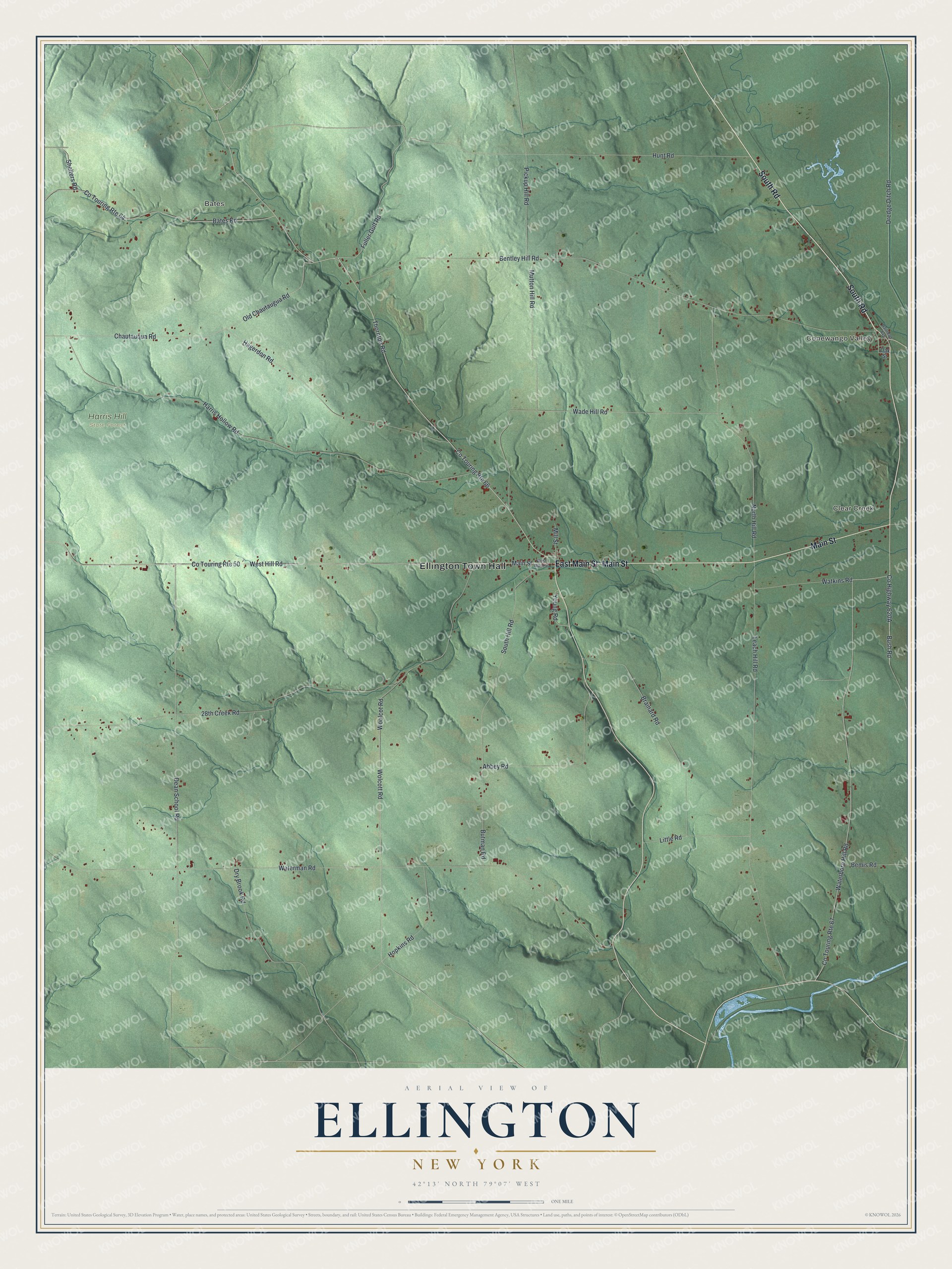
This beautifully detailed map of Ellington, New York was created in 2026 using aerial imagery combined with modern topographical, census, street and landmark data. It’s a one-of-a-kind view of Ellington that combines accurate data with a vintage aesthetic. The map shows every building in its true location, many of the roads carry their names, and the shaded topographic relief shows the shape of the land.
Explore an aerial view of Ellington, New York
On the map you’ll find Ellington Town Hall, Conewango Valley, Bates, Clear Creek, and Harris Hill State Forest, along with South Road, Main Street, Waterboro Hill Road, Fuller Gulf Road, and more. If you look closely you can even find your house accurately drawn in its correct location. Zoom in on the preview to look for yours.
Did You Know?
Joshua Bentley was the first settler in Ellington. He bought part of lot 7 in 1814 and added more land the following year. Sawmills gave work to many early townsfolk. One sawmill near the end of Mill Street ran from the 1800s into the early 2000s.
Take a closer look at the Ellington map
Names on this map
These names are printed on this map.
Places: Ellington Town Hall, Conewango Valley, Bates, Clear Creek and Harris Hill State Forest.
Streets and roads: South Road, East Main Street, Main Street, Waterboro Hill Road, Co Touring Route 66, Fuller Gulf Road, Bush Road, West Hill Road, Thornton Road, Waterman Road, Bentley Hill Road, 28th Creek Road.
More street names, A to Z
Abbey Road, Bates Road, Bemis Road, Brainard Road, Butman Road, Chautauqua Road, Co Touring Route 50, Co Touring Route 64, Co Touring Route 67, Dean School Road, Dredge Ditch Road, Dry Brook Road, Hagerdon Road, Harris Hollow Road, Hopkins Road, Hunt Road, Leach Hill Road, Little Road, Mill Street, Mutton Hill Road, North Hill Road, Oak Street, Old Chautaugua Road, Pickup Hill Road, Railroad Avenue, Shelters Road, South Hill Road, Wade Hill Road, Watkins Road, West Main Street, Wolcott Road, Woolcot Road, Young Road.
See it on a wall
The Ellington map as a framed print. Swipe for more.


This beautifully detailed map of Ellington makes an attractive addition to your office, library, or den, and it can even be used to teach children the geography and history of the area. It also makes a great gift for someone who left Ellington and still calls it home. When you’re done exploring, click here to get your copy of the Ellington map.