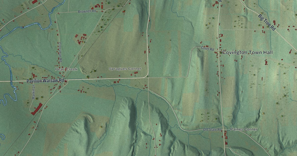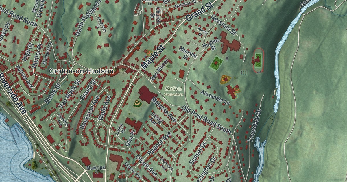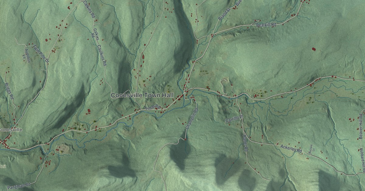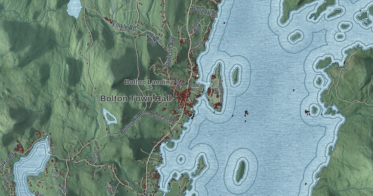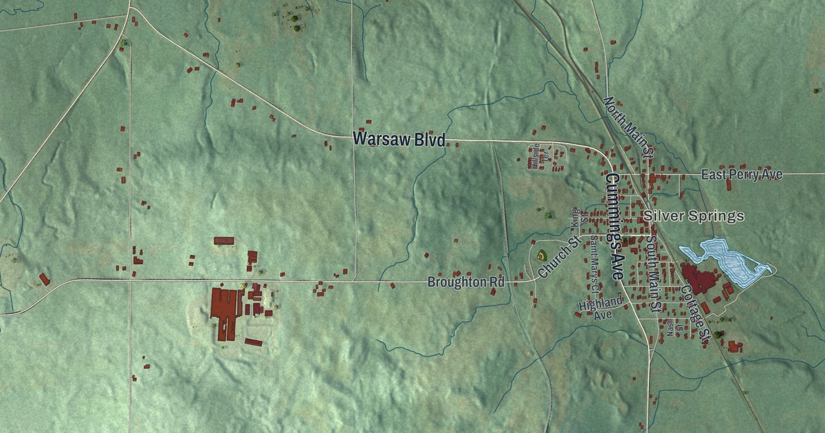
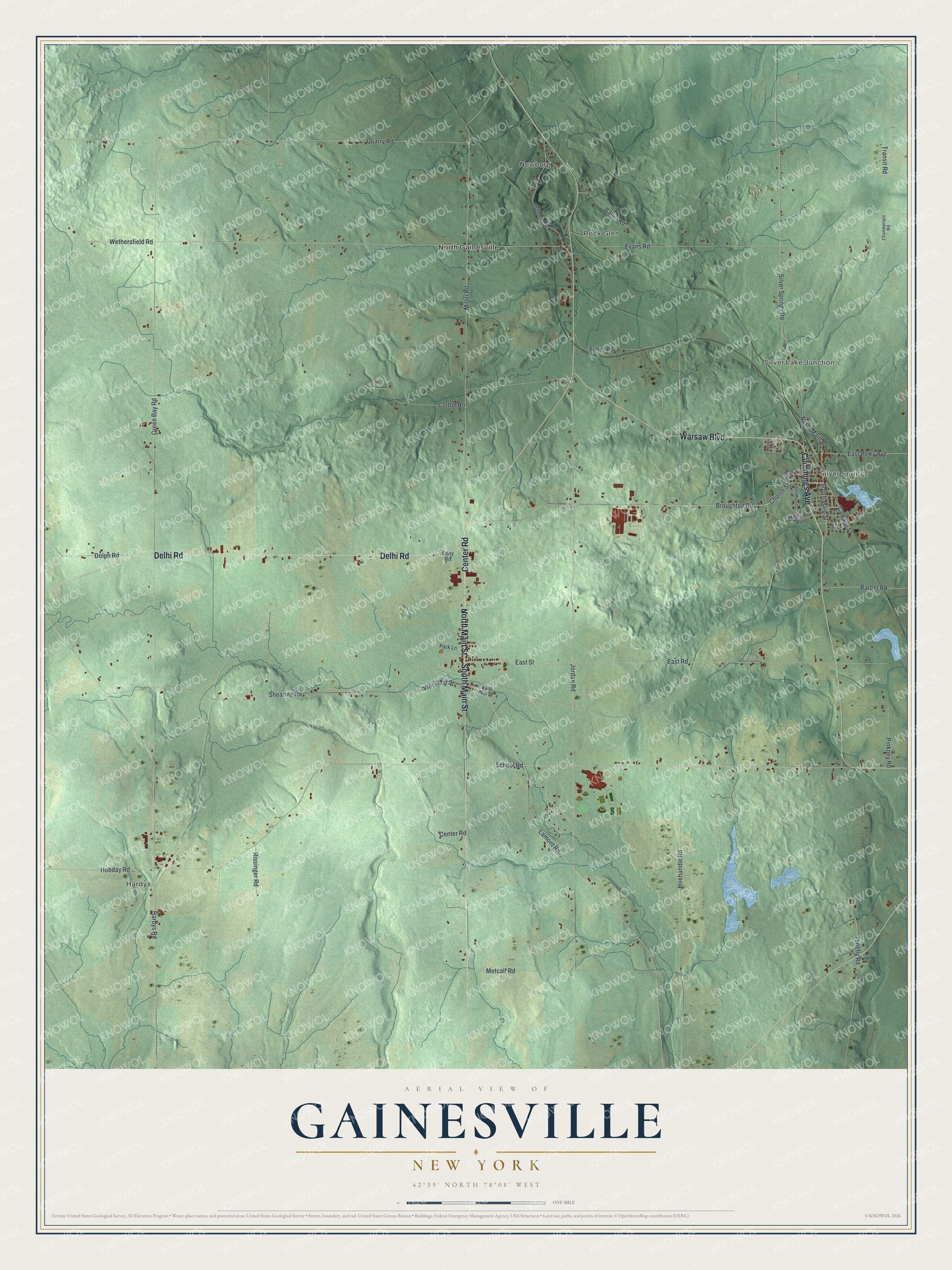
This beautifully detailed map of Gainesville, New York was created in 2026 using aerial imagery combined with modern topographical, census, street and landmark data. It’s a one-of-a-kind view of Gainesville that combines accurate data with a vintage aesthetic. The map shows every building in its true location, many of the roads carry their names, and the shaded topographic relief shows the shape of the land.
Explore an aerial view of Gainesville, New York
On the map you’ll find Hardys, Newburg, Silver Springs, Silver Lake Junction, and Rock Glen, along with Delhi Road, Warsaw Boulevard, Cummings Avenue, Center Road, Main Street, and more. If you look closely you can even find your house accurately drawn in its correct location. Zoom in on the preview to look for yours.
Did You Know?
Biologist David Starr Jordan, later head of Stanford University, was born on a farm just east of the village. In 1858, Belva Ann Lockwood led the Gainesville Female Academy. She became a lawyer, a suffragist and the first woman to run for President. That’s from the 1940 WPA guide to New York.
Take a closer look at the Gainesville map
Names on this map
These names are printed on this map.
Places: Hardys, Newburg, Silver Springs, Silver Lake Junction, Rock Glen and North Gainesville.
Streets and roads: Delhi Road, Warsaw Boulevard, Cummings Avenue, Center Road, North Main Street, South Main Street, Broughton Road, Church Street, Miller Road, East Perry Avenue, East Street, School Road.
More street names, A to Z
Barber Road, Battin Road, Chamberlain Road, Cottage Street, Cotton Road, Dolph Road, Dutton Road, East Mill Street, East Road, Eddy Road, Evans Road, Fuller Road, Green Bay Road, Hardys Road, Highland Avenue, Hillside Terrace, Hobday Road, Hoehandle Road, Jordan Road, King Street, Lamont Road, Metcalf Road, Nash Street, Park Lane, Pinkney Road, Quarry Road, Rissinger Road, Saint Marys Court, Shearing Road, Silver Springs Road, Tenefly Road, Transit Road, West Mill Street, Wethersfield Road.
See it on a wall
The Gainesville map as a framed print. Swipe for more.


This beautifully detailed map of Gainesville makes an attractive addition to your office, library, or den, and it can even be used to teach children the geography and history of the area. It also makes a great gift for anyone with Gainesville roots. When you’re done exploring, click here to get your copy of the Gainesville map.