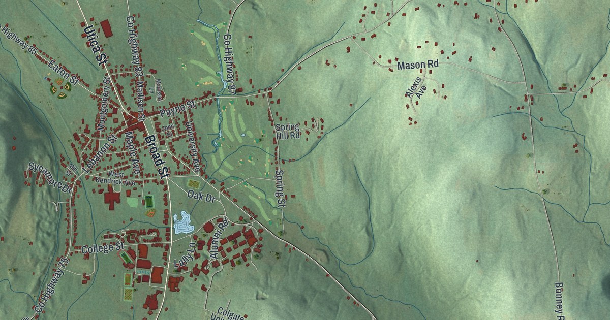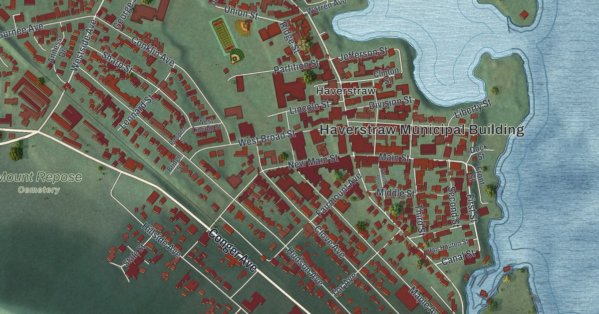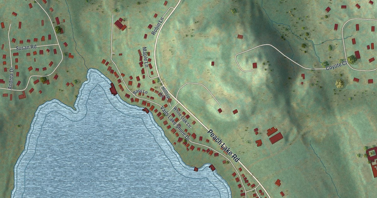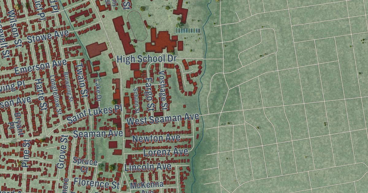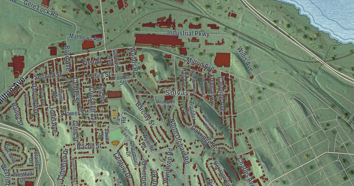
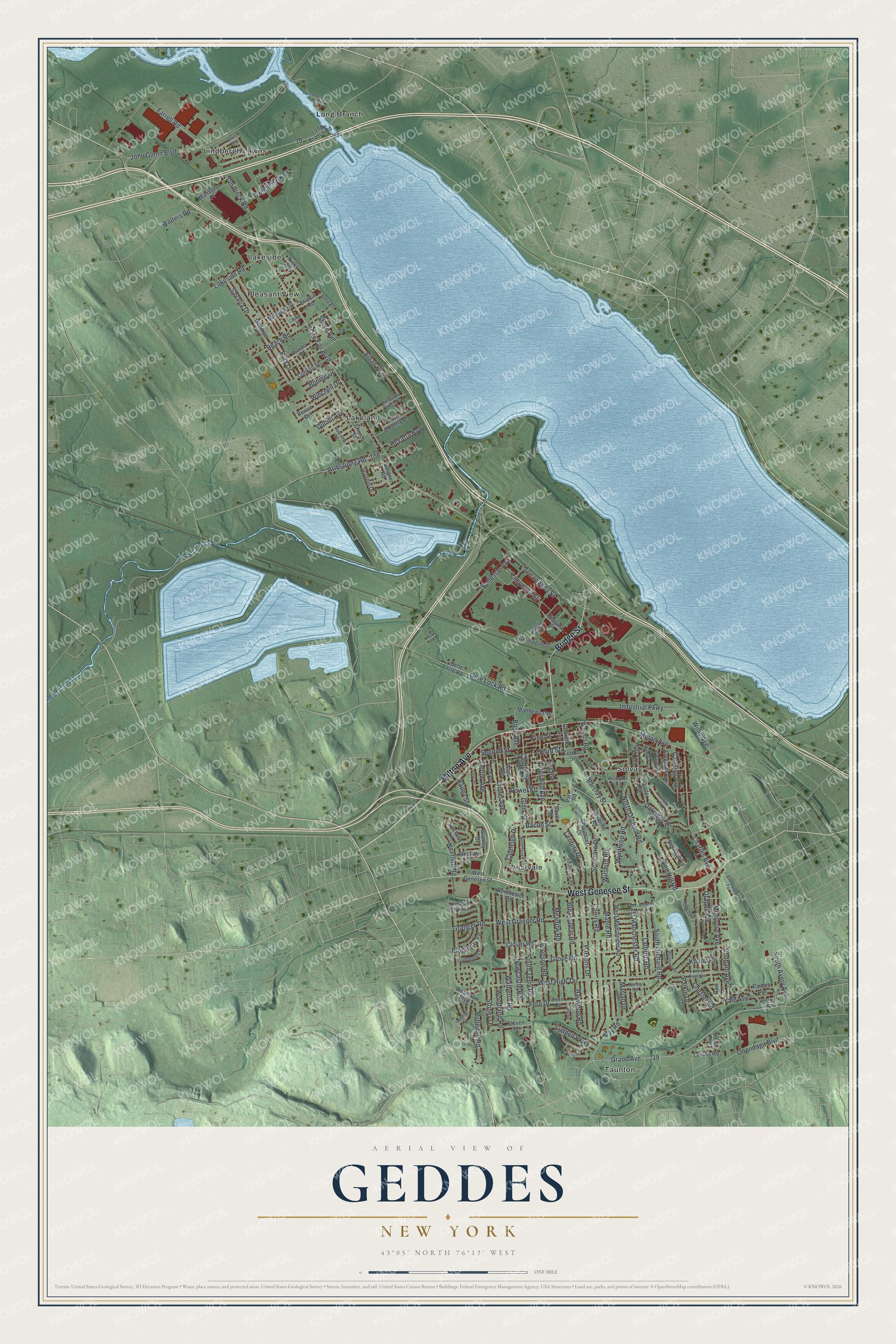
This beautifully detailed map of Geddes, New York was created in 2026 using aerial imagery combined with modern topographical, census, street and landmark data. It’s a one-of-a-kind view of Geddes that combines accurate data with a vintage aesthetic. The map shows every building in its true location, many of the roads carry their names, and the shaded topographic relief shows the shape of the land.
Explore an aerial view of Geddes, New York
On the map you’ll find Lakeland, Lakeside, Lindbergh Lawns, Long Branch, and Pleasant View, along with Milton Avenue, Genesee Street, Bridge Street, Avery Avenue, Belle Isle Avenue, and more. If you look closely you can even find your house accurately drawn in its correct location. Zoom in on the preview to look for yours.
Did You Know?
The town is named for James Geddes, an early settler who reached the head of Onondaga Lake in 1794. He went on to develop the salt industry there. Geddes was formed from Salina in 1848, which makes it the youngest town in Onondaga County.
Take a closer look at the Geddes map
Names on this map
These names are printed on this map.
Places: Lakeland, Lakeside, Lindbergh Lawns, Long Branch, Pleasant View, Solvay, Taunton and Westvale.
Streets and roads: Milton Avenue, West Genesee Street, Bridge Street, South Avery Avenue, Belle Isle Avenue, Gere Lock Road, State Fair Boulevard, Stoney Drive, John Glenn Boulevard, Parsons Drive, West High Terrace, Fay Road.
More street names, A to Z
Abell Avenue, Alhan Parkway, Alice Avenue, Andrews Street, Arlington Road, Armstrong Road, Bacon Street, Bailey Street, Barclay Street, Beach Road, Belle Isle Road, Benham Avenue, Bennett Avenue, Benoit Drive, Bergner Road, Blueberry Lane, Bonnie Drive, Boulder Road, Boyd Avenue, Breakspear Road, Bronson Road, Bury Drive, Calumet Drive, Caroline Avenue, Case Street, Cattaragus Street, Cayuga Avenue, Cayuga Street, Center Street, Century Drive, Charles Avenue, Chaumont Drive, Cherry Road, Chester Road, Cheyenne Street, Church Street, Clover Road, Cogswell Avenue, Conklin Street, Copleigh Drive, Corey Road East, Corliss Road, Crabapple Lane, Crestview Terrace, Darrow Avenue, Dorchester Road, Draper Avenue, Dubiel Avenue, Duchess Lane, Dwight Park Drive, East Manchester Road, Farrell Road, Fern Drive, Fern Road, First Street, Fourth Street, Freeman Avenue, Gail Lane, Gertrude Avenue, Gettman Road, Gillis Street, Grand Avenue, Granger Road, Grove Road, Halcomb Street, Hall Avenue, Harriet Street, Haywood Road, Heritage Circle, Horan Road, Huntshill Road, Industrial Parkway, Iona Place, Kimberly Drive East, King Avenue, Knapp Road, Lake Country Drive, Lakeside Road, Lamont Avenue, Lathrop Road, Lionel Avenue, Long Branch Road, Lormik Lane, Ludden Parkway, Managers Place, Maple Road, Marian Drive, Matthews Avenue, Mayson Avenue, Meadow Road, Mohegan Street, Montrose Avenue, Newcastle Road, Niagara Street, Nicks Way, Norma Road, North Orchard Road, North Terry Road, Oakridge Drive, Onondaga Boulevard, Onondaga Lake Parkway, Osceola Road, Paikin Drive, Pardee Avenue, Park Road, Percy Street, Pine Hill Road, Pleasant Beach Road, Power Street, Regatta Row, Robertson Terrace, Rutledge Road, Savaria Drive, Scarboro Drive, School Road, Scorpio Drive, Second Street, Sharon Road, Shore Avenue, Smith Street, South Orchard Road, South Terry Road, Southview Road, Stanley Drive, Steven Terrace, Summit Avenue, Third Street, Tonawanda Street, Van Vleck Road, Walberta Road, Walters Road, Westfall Drive, West Granger Road, Westholm Boulevard, Westlind Road, West Manchester Road, Westmont Road, Willis Avenue, Wilshire Road, Winchell Drive, Woodland Road, Woods Road, Wycliffe Road, Wynthrop Road, Yale Avenue.
See it on a wall
The Geddes map as a framed print. Swipe for more.


This beautifully detailed map of Geddes makes an attractive addition to your office, library, or den, and it can even be used to teach children the geography and history of the area. It also makes a great gift for anyone with Geddes roots. When you’re done exploring, click here to get your copy of the Geddes map.