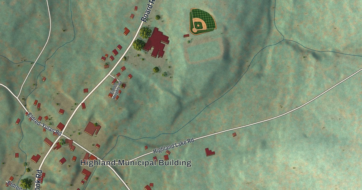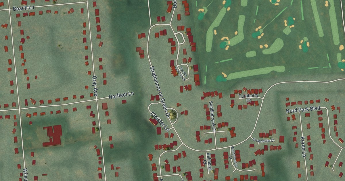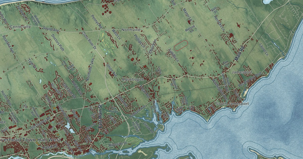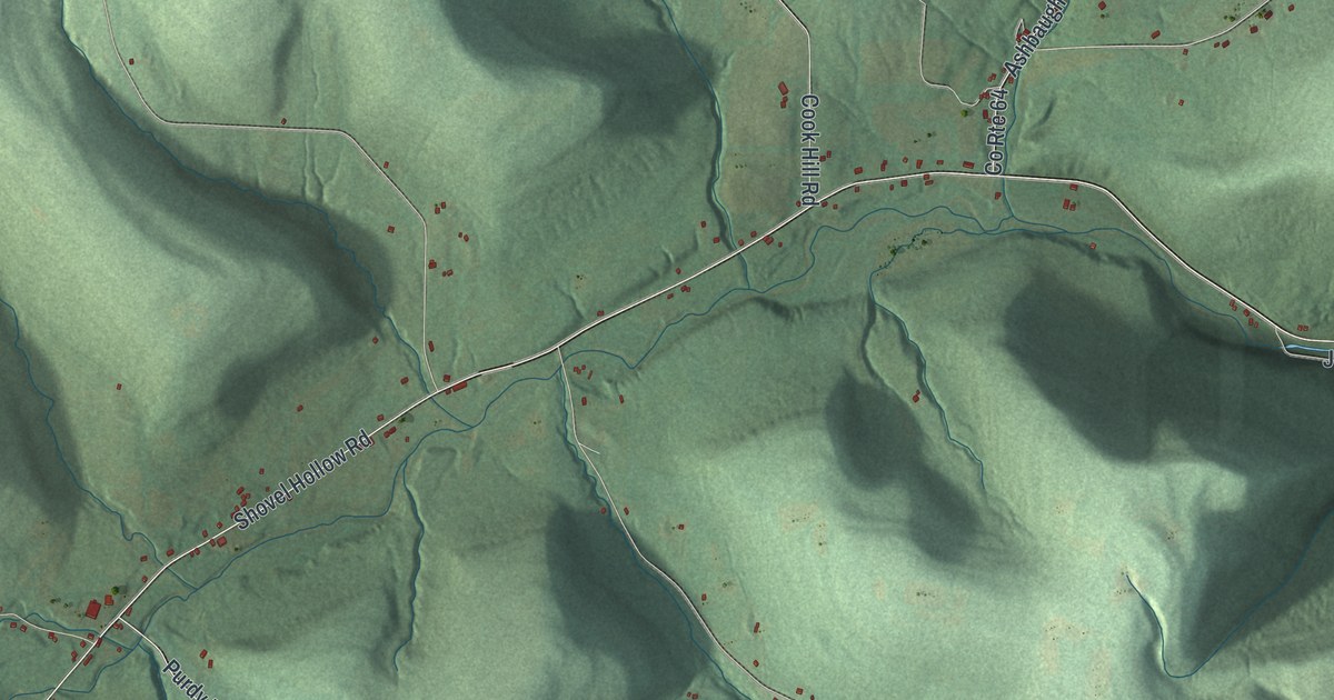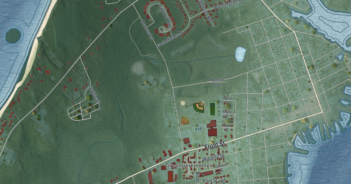
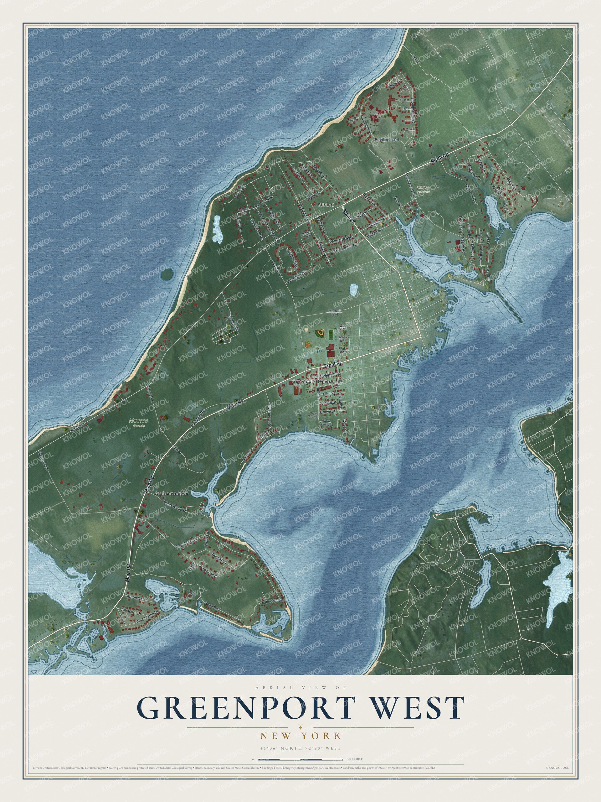
This beautifully detailed map of Greenport West, New York was created in 2026 using aerial imagery combined with modern topographical, census, street and landmark data. It's a modern aerial view of Greenport West in Suffolk County, New York, that combines modern data with a vintage aesthetic. The roads feature printed names, and if you look closely you can find your exact house accurately shown in its correct location.
Explore an aerial view of Greenport West, New York
On this map you'll find Stirling, Moores Woods, Stirling Cemetery, Greenport Homes, Arshamonaque, Main Road, Front Street, Main Street, North Road, Queen Street, Maple Lane, Pipes Neck Road, and more. Each red shape is a building, so zoom in on the preview and look for yours.
Greenport West is a community in Suffolk County. The Census Bureau counted 2,282 people here in 2020. Greenport West sits about 2 miles west of Dering Harbor, 3 miles northwest of Shelter Island Heights and 3 miles northeast of Southold. The map prints the town name in its title panel, with the coordinates below it.
Take a closer look at the Greenport West map
Names on this map
These names are printed on this map.
Places: Stirling, Moores Woods, Stirling Cemetery, Greenport Homes and Arshamonaque.
Streets and roads: Main Road, Front Street, Main Street, North Road, Queen Street, Maple Lane, Pipes Neck Road, Middleton Road, Silvermere Road, Willow Drive, Wood Lane, Thompson Boulevard.
More street names, A to Z
Albacore Drive, Albertson Lane, Angler Road, Apartment Lane, August Lane, Bailey Avenue, Bay Road, Bay Shore Road, Beach Road, Bennet Road, Blue Marlin Drive, Brecknock Road, Bridge Street, Brown Street, Caleb's Way, Cardinal Lane, Cedarfields Drive, Champlin Place, Chapel Lane, Cherry Farm Lane, Corwin Street, Cove Circle, Dawn Drive, Dick Street, Dolphin Drive, Egret Lane, Fiddler Lane, Flint Street, Green Hill Lane, Gull Pond Lane, Inlet Lane, Inlet Pond Road, Island View Lane, Kerwin Boulevard, Kingfisher Lane, Knapp Place, Landing Lane, Linnet Street, Madison Street, Mallard Lane, Manhanset Avenue, Manhasset Avenue, Maple Street, McCann Lane, Monsell Trail, Moores Lane, Moores Lane North, Ninth Street, Oak Street, Old Main Road, Oriole Lane, Osprey Nest Road, Pipes Cove Way, Robinson Road, Sage Boulevard, Sage Spr, Sandpiper Lane, Seventh Street, Shore Drive, Sills Lane, Silver Lane, Snug Harbor Road, Sound Drive, Sound Road, Sunset Lane, Sutton Place, Tarpon Drive, Tasker Lane, Third, Washington Avenue, Wells Lane, West Street, Westwood Lane, Wiggins Lane, Wiggins Street, Willow Road, Wilmarth Avenue.
See it on a wall
The Greenport West map as a framed print. Swipe for more.


Created by KNOWOL in 2026. The buildings are small red shapes, the roads carry their printed names, and shaded relief shows the shape of the land. The title panel reads "AERIAL VIEW OF GREENPORT WEST, NEW YORK" with 41°06' NORTH 72°23' WEST.
It suits a den, a classroom or a front hall, and it makes a gift for anyone with Greenport West roots. Open the preview and find the block you know. See sizes and frames for the Greenport West map.