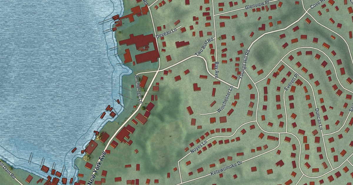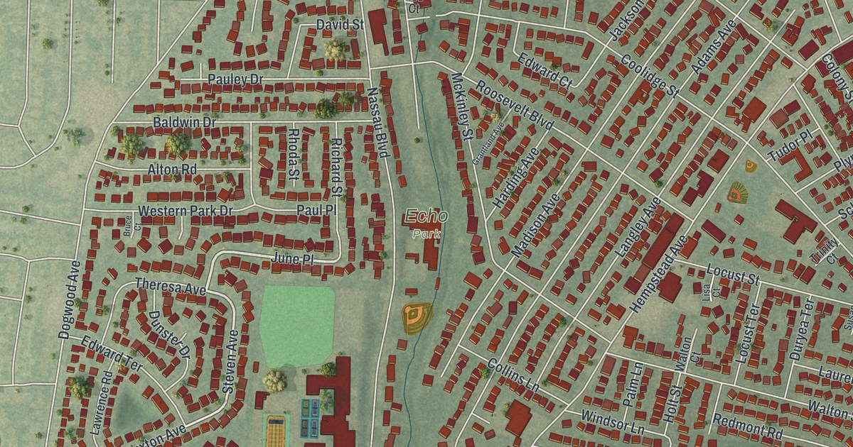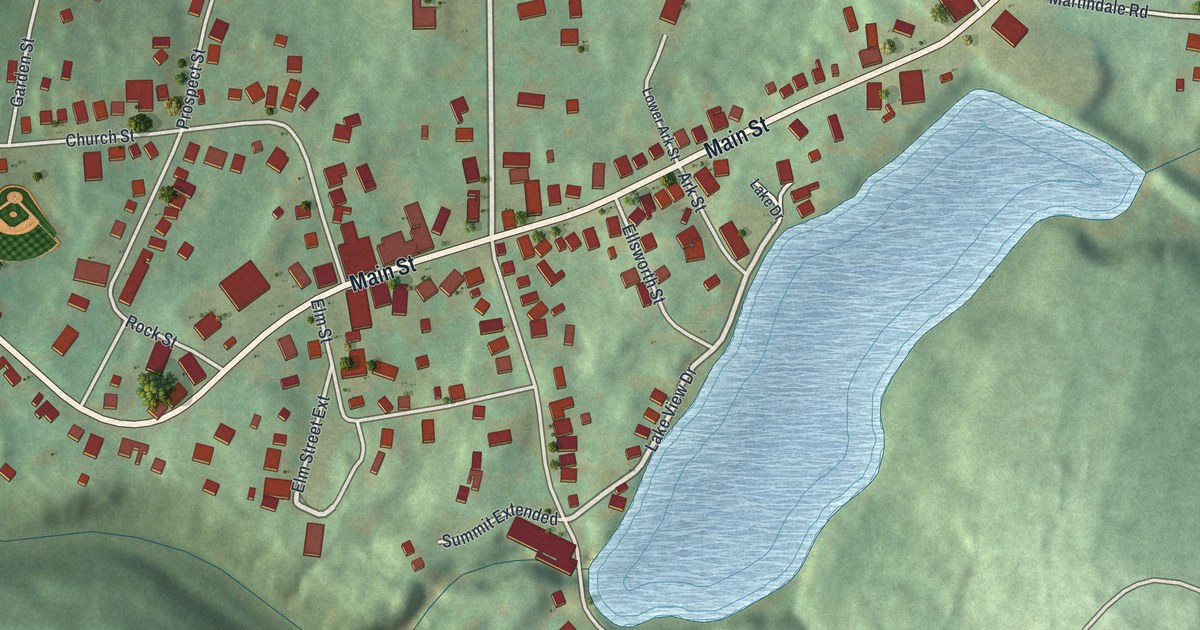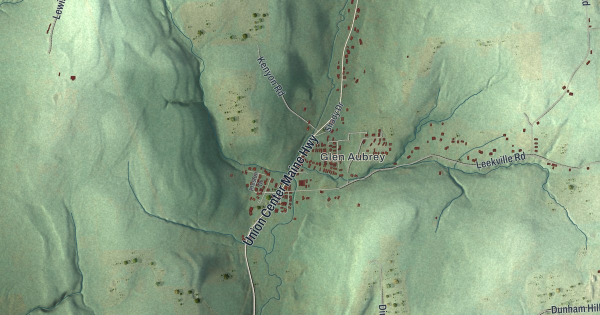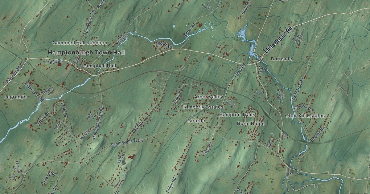
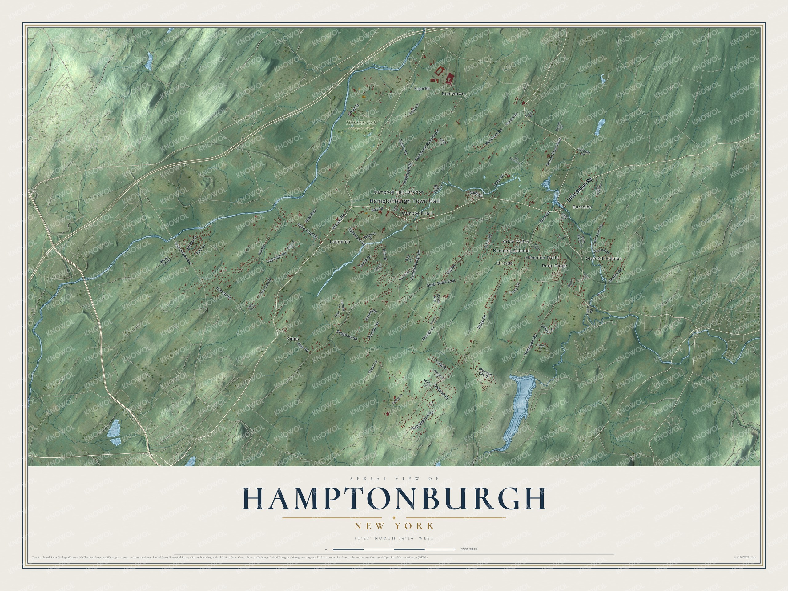
This beautifully detailed map of Hamptonburgh, New York was created in 2026 using aerial imagery combined with modern topographical, census, street and landmark data. It’s a one-of-a-kind view of Hamptonburgh that combines accurate data with a vintage aesthetic. The map shows every building in its true location, many of the roads carry their names, and the shaded topographic relief shows the shape of the land.
Explore an aerial view of Hamptonburgh, New York
On the map you’ll find Hamptonburgh Town Hall, Arbor Valley, Burnside, Campbell Hall, Campbell Hall Junction, Girarde, and Thomas Bull Memorial Park, along with Little Britain Road, Tracy Circle, Kipp Road, Sarah Wells Trail, and more. If you look closely you can even find your house accurately drawn in its correct location. Zoom in on the preview to look for yours.
Did You Know?
Early settler William Bull named Hamptonburgh for his birthplace, Wolverhampton in England. Bull was a stone mason who wed Sarah Wells in 1718. Together they built the Bull Stone House and raised 12 children. Their descendants still own and live in that house today.
Take a closer look at the Hamptonburgh map
Names on this map
These names are printed on this map.
Places: Hamptonburgh Town Hall, Thomas Bull Memorial Park, Arbor Valley, Burnside, Campbell Hall, Campbell Hall Junction, Girarde, Hampton Trails, Kimberly Estates, Kipps, Lagrange, Neelytown, Otter Kill Estates and Rural Ridge.
Streets and roads: Little Britain Road, Tracy Circle, Kipp Road, Sarah Wells Trail, Ridge Road, Maybrook Road, Purgatory Road, Hill Road, Neelytown Road North, Twin Arch Road, Egbertson Road, Day Road.
More street names, A to Z
Arbor Road, Barron Road, Batt Lane, Beattie Road, Bella Lane, Blough Lane, Booth Drive, Briar Brook Lane, Bristol Drive, Bull Road, Coleman Drive, Cooper Lane, Deer Run, Dorian Way, Duncan Lane, Eager Road, East Green Road, Erie Street, Everett Road, Farley Lane, Farview Lane, Flag Lane, Forrester Road, Grove Street, Hamptonburgh Road, High Meadow Road, Hilo Drive, Howell Road, Hulsetown Road, Ivy Cliff Road, Jackson Lane, Jones Lane, Judson Lane, Kiernan Road, Lagrange Road, Lazy Lane, Lido Mansion Road, Mann Lane, Mc Bride Lane, Megan Lane, Mountain View Drive, Mount Joy Road, Neelytown Road, Otter Road, Overlook Drive, Pierson Road, Pischke Road, Quarry Road, Sanok Drive, Scotchtown Avenue, Seacord Drive, Shea Knolls Court, Shea Road, Skyview Court, Staps Lane, Station Road West, Stony Ford Road, Tetz Lane, Trudy Drive, Tuthill Road, Twin Oaks Drive, Wallace Road, Watkins Drive, White Oak Terrace, Willis Lane, Woodland Drive, Zwart Lane.
See it on a wall
The Hamptonburgh map as a framed print. Swipe for more.


This beautifully detailed map of Hamptonburgh makes an attractive addition to your office, library, or den, and it can even be used to teach children the geography and history of the area. It also makes a great gift for anyone with Hamptonburgh roots. When you’re done exploring, click here to get your copy of the Hamptonburgh map.