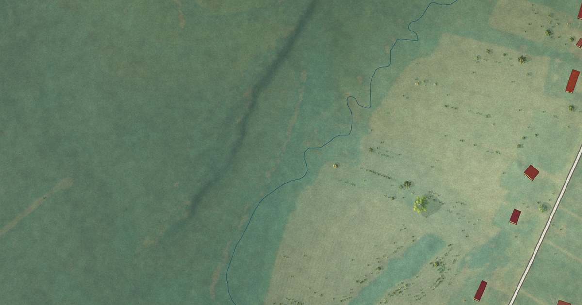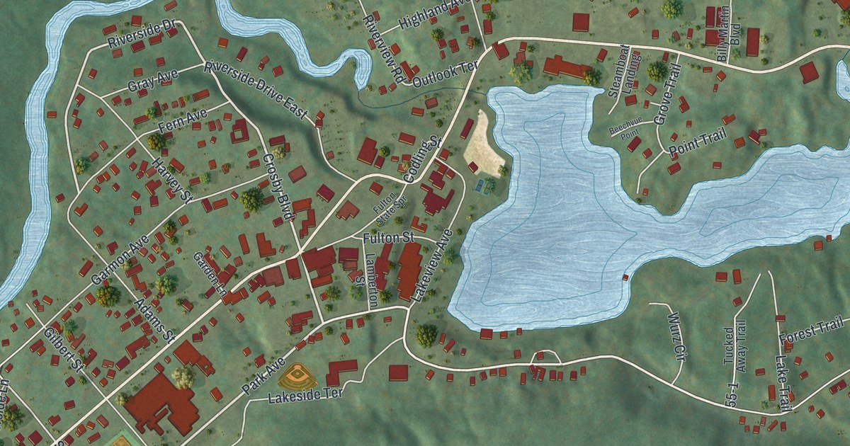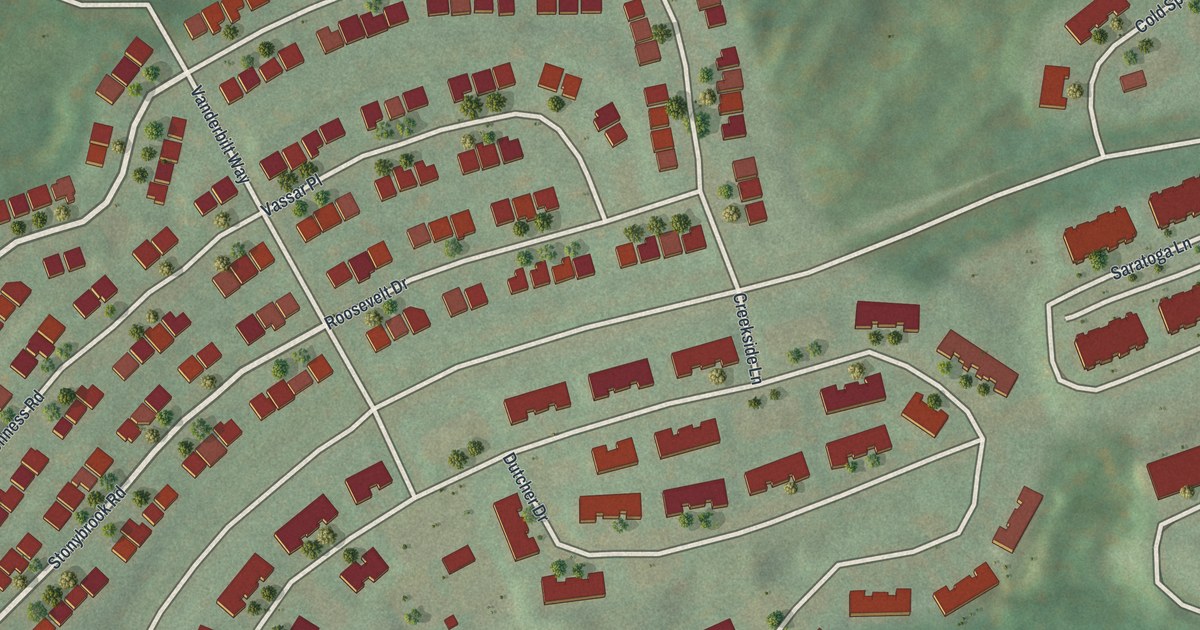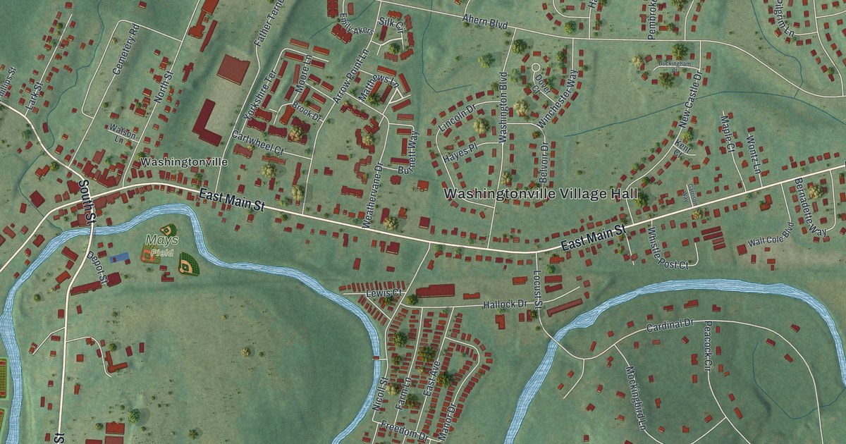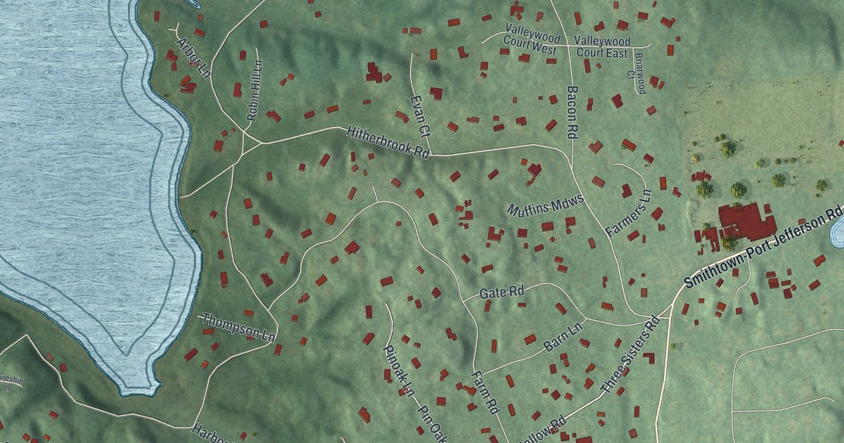
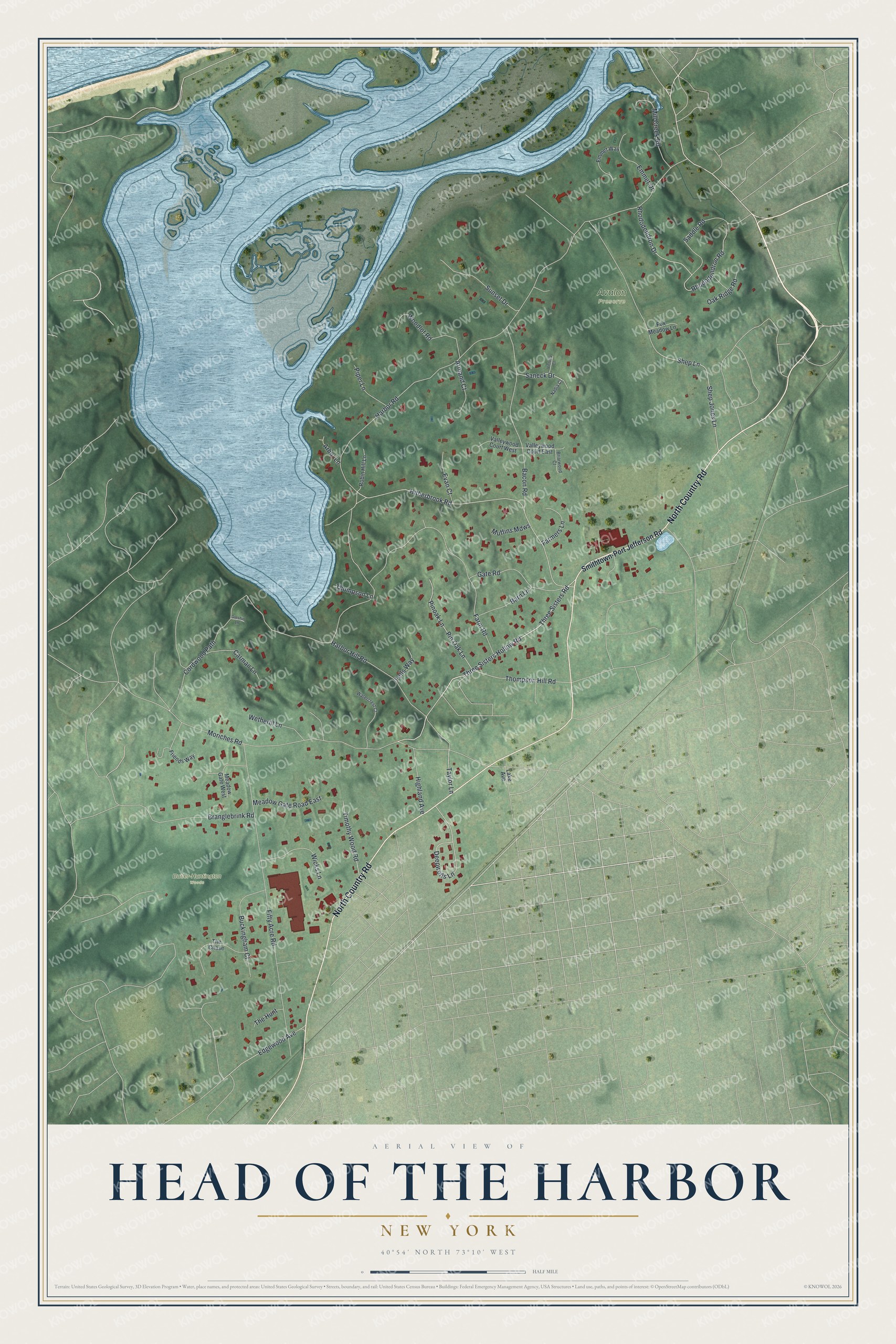
This beautifully detailed map of Head of the Harbor, New York was created in 2026 using aerial imagery combined with modern topographical, census, street and landmark data. It's a modern aerial view of Head of the Harbor in Suffolk County, New York, that combines modern data with a vintage aesthetic. The roads feature printed names, and if you look closely you can find your exact house accurately shown in its correct location.
Explore an aerial view of Head of the Harbor, New York
On this map you'll find Avalon Preserve, Butler-Huntington Woods, North Country Road, Three Sisters Hollow Road, Hitherbrook Road, Three Sisters Road, Thompson Hill Road, Harbor Road, Shep Jones Lane, Moriches Road, Fifty Acre Road, Farm Road, and more. Each red shape is a building, so zoom in on the preview and look for yours.
Head of the Harbor is a village in Suffolk County. The Census Bureau counted 1,520 people here in 2020. Head of the Harbor sits about 2 miles west of Stony Brook, 2 miles west of Stony Brook University and 3 miles north of Village of the Branch. The map prints the town name in its title panel, with the coordinates below it.
Take a closer look at the Head of the Harbor map
Names on this map
These names are printed on this map.
Places: Avalon Preserve and Butler-Huntington Woods.
Streets and roads: North Country Road, Three Sisters Hollow Road, Hitherbrook Road, Three Sisters Road, Thompson Hill Road, Harbor Road, Shep Jones Lane, Moriches Road, Fifty Acre Road, Farm Road, Rhododendron Drive, Rhododendron Road.
More street names, A to Z
Arbor Lane, Armand Court, Bacon Road, Barn Lane, Branglebrink Road, Briarwood Court, Buckingham Court, Carman Lane, Cordwood Path, Deepwells Lane, Edgewood Avenue, Emmet Drive, Emmet Way, Evan Court, Farmers Lane, Fells Way, Fox Meadow Lane, Friends Way, Gate Road, Greshin Lane, Harbor Hill Road, Highland Avenue, Lake Avenue, Meadow Gate Road East, Meadow Gate West, Mill Creek Road, Muffins Mdws, Nadia Court, Oak Ridge Road, Pin Oak Lane, Pinoak Lane, Piper Lane, Robin Hill Lane, Saddle Road, Saneck Drive, Shep Lane, Smithtown-Port Jefferson Road, Sunset Drive, Taylor Lane, The Chase, The Hunt, Thompson Lane, Timothy Wood Road, Valleywood Court East, Valleywood Court West, Victoria Court, Watercrest Court, Wetherill Lane, Wicks Lane, Woodlot Road.
See it on a wall
The Head of the Harbor map as a framed print. Swipe for more.


Created by KNOWOL in 2026. The buildings are small red shapes, the roads carry their printed names, and shaded relief shows the shape of the land. The title panel reads "AERIAL VIEW OF HEAD OF THE HARBOR, NEW YORK" with 40°54' NORTH 73°10' WEST.
It looks right in a kitchen, an office or a den, and it's a gift for anyone who grew up in Head of the Harbor or moved away. Open the preview and find your street. See sizes and frames for the Head of the Harbor map.