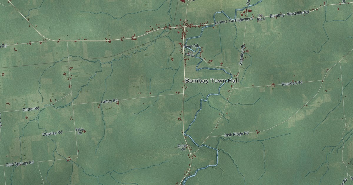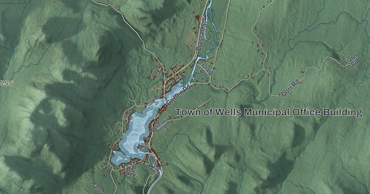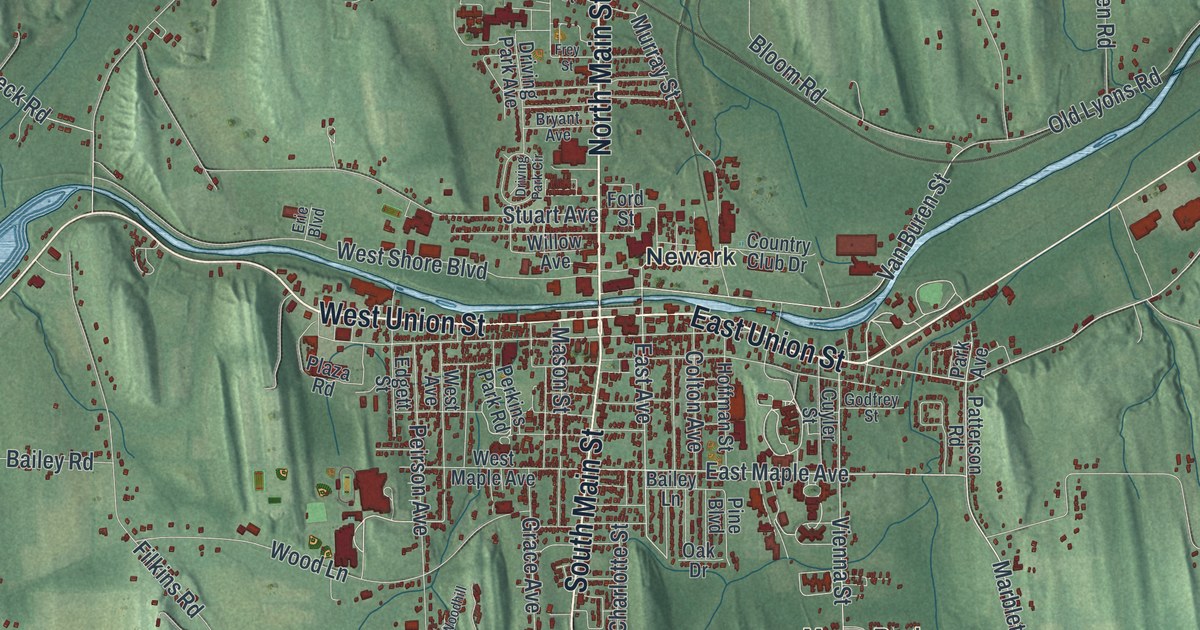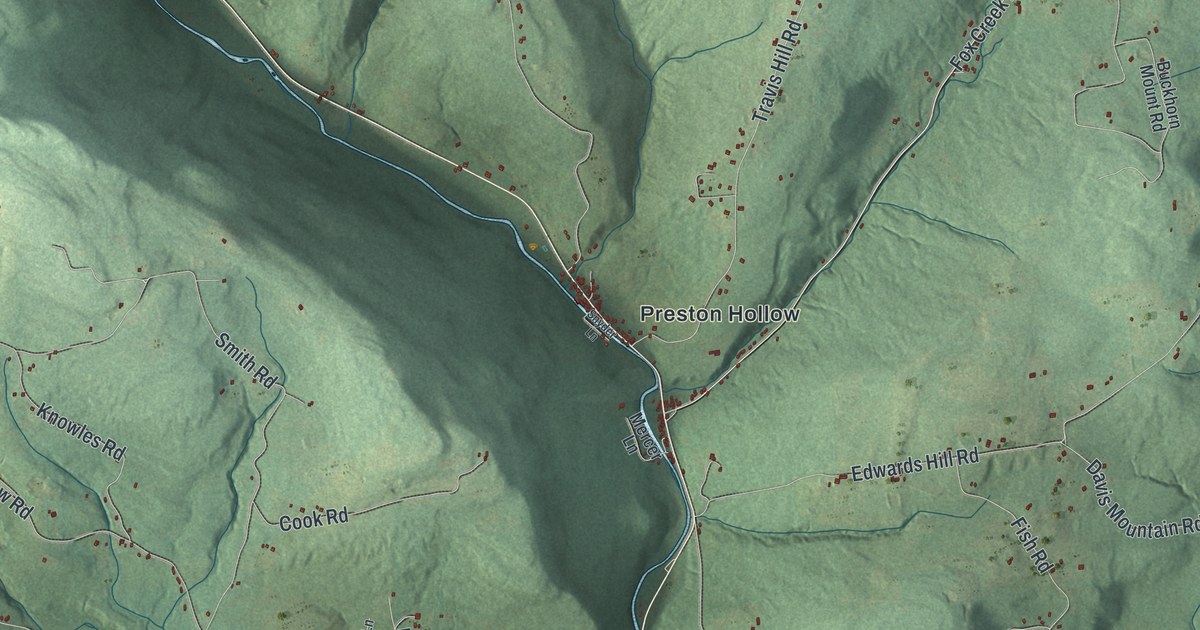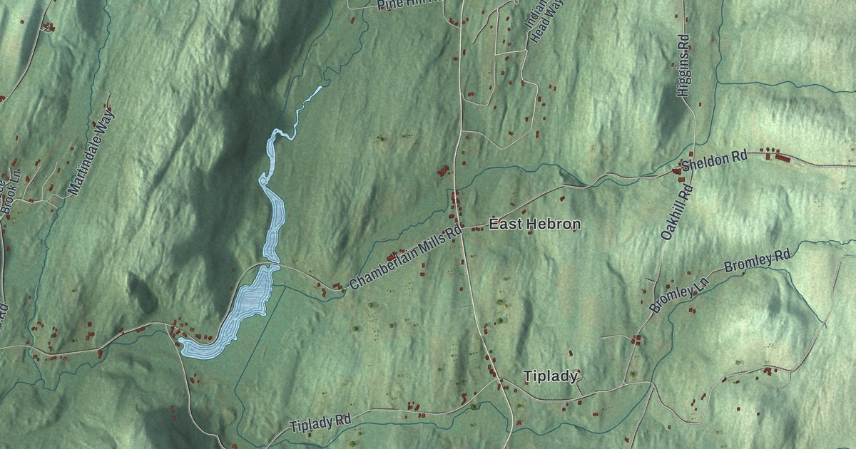
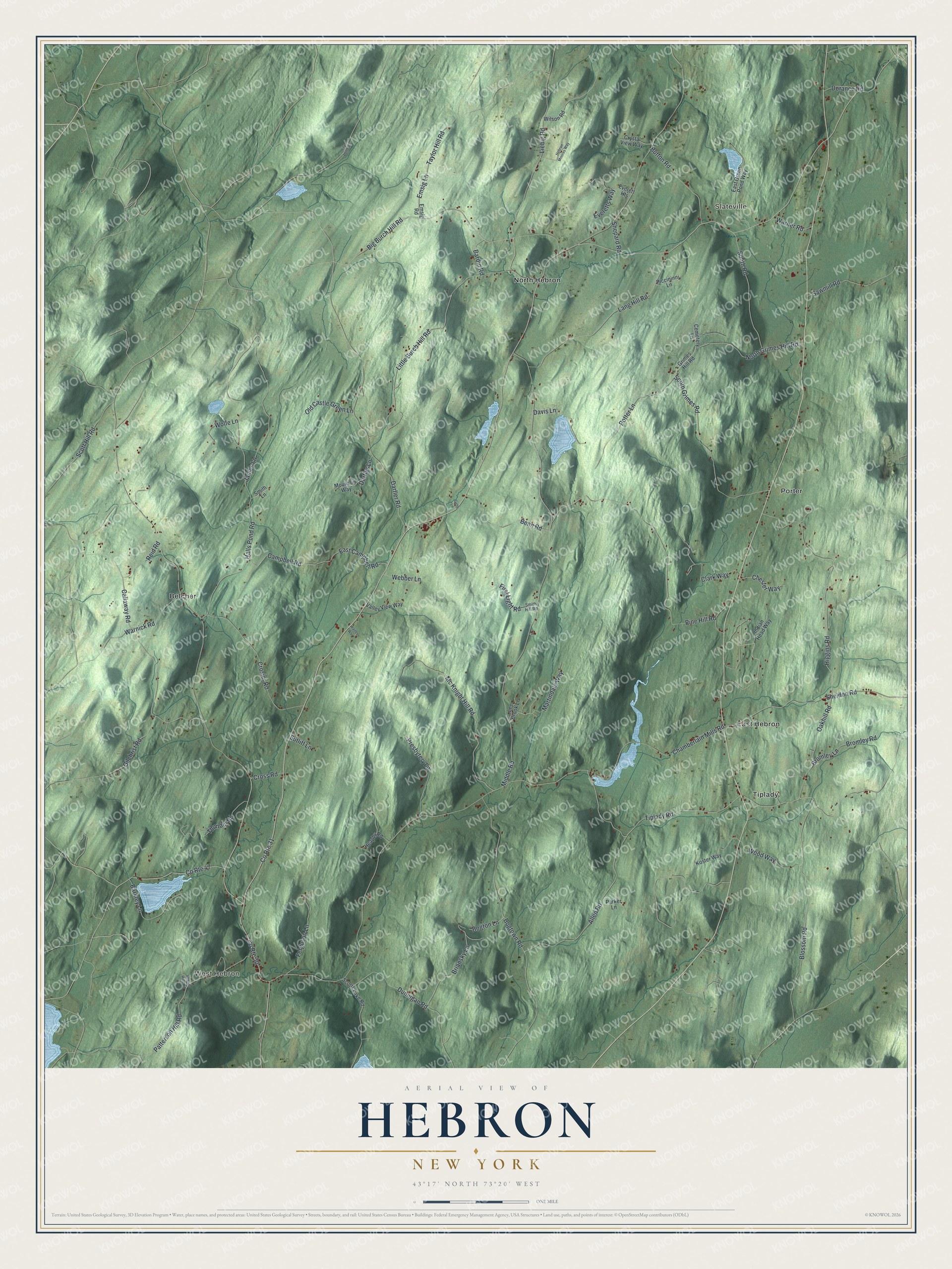
This beautifully detailed map of Hebron, New York was created in 2026 using aerial imagery combined with modern topographical, census, street and landmark data. It’s a one-of-a-kind view of Hebron that combines accurate data with a vintage aesthetic. The map shows every building in its true location, many of the roads carry their names, and the shaded topographic relief shows the shape of the land.
Explore an aerial view of Hebron, New York
On the map you’ll find West Hebron, Slateville, Belcher, East Hebron, and North Hebron, along with Cross Road, Higgins Road, Big Burch Hill Road, Tiplady Road, Mc Knight Hill Road, and more. If you look closely you can even find your house accurately drawn in its correct location. Zoom in on the preview to look for yours.
Did You Know?
Early settlers called this area the District of Black Creek. After the French and Indian War, the British Crown paid veterans with land here. Most of these grants went to Highland Scots of the 77th Regiment. Lawmakers created the town on March 23, 1786. Its name came from Hebron, Connecticut.
Take a closer look at the Hebron map
Names on this map
These names are printed on this map.
Places: West Hebron, Slateville, Belcher, East Hebron, North Hebron, Porter and Tiplady.
Streets and roads: County Route 30, Cross Road, Higgins Road, County Route 31, Big Burch Hill Road, Tiplady Road, Mc Knight Hill Road, Bromley Lane, Emsig Lane, Chamberlain Mills Road, Middle Road, Pine Hill Road.
More street names, A to Z
Allen Road, Bardin Road, Barkley Lane, Benn Road, Blossom Road, Bogton Lane, Bogtown Road, Briansky Lane, Bromley Road, Button Road, Callaway Road, Campbell Road, Cemetery Lane, Chester Way, Clark Way, County Route 47, Crosier Road, Crystal View Way, Darfler Lane, Darfler Road, Davis Lane, Dorance Road, Dunnigan Road, East Campbell Road, East Green Pond Way, Emsig Road, Everett Heights, Everetts Way, Ferguson Lane, First Light Road, Getty Lane, Gilchrist Road, Grimes Hill Road, Halls Pond Road, Heaphy Road, Hebron Hills Road, Hebron Moores Way, Indian Head Way, James Lane, Koster Way, Lang Hill Road, Lee Brook Lane, Liebig Road, Lily Pond Road, Little Burch Hill Road, Martindale Way, Mountain Way, North Grimes Hill Road, Oakhill Road, Old Castle Green Lane, Parker Lane, Patterson Hill Road, Piccininni Lane, Potter Lane, Presbytery Lane, Reid Road, Sawmill Road, Scott Hill Road, Scotts Lake Road, Sheldon Road, Shepard Road, Smith Hill Road, Smith Lane, Smith Road, South Grimes Road, Sutliff Lane, Taylor Hill Road, Thunder Road, Valley View Way, Waites Way, Warner Road, Warnick Road, Webber Lane, Wilson Road, Wolfe Lane, Wood Way.
See it on a wall
The Hebron map as a framed print. Swipe for more.


This beautifully detailed map of Hebron makes an attractive addition to your office, library, or den, and it can even be used to teach children the geography and history of the area. It also makes a great gift for anyone with Hebron roots. When you’re done exploring, click here to get your copy of the Hebron map.