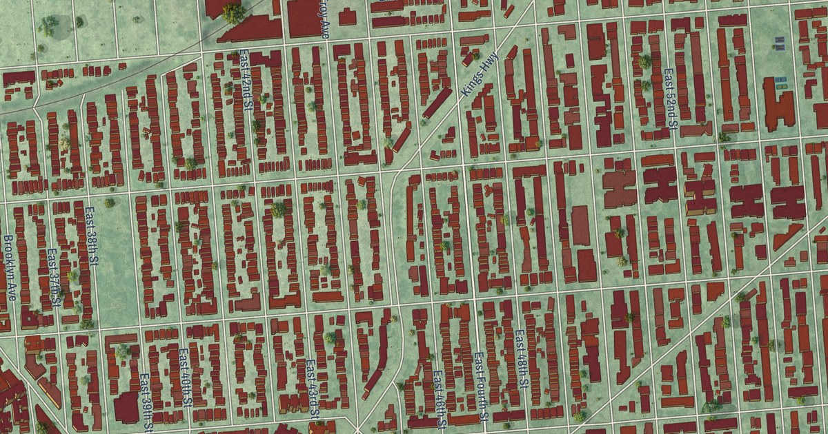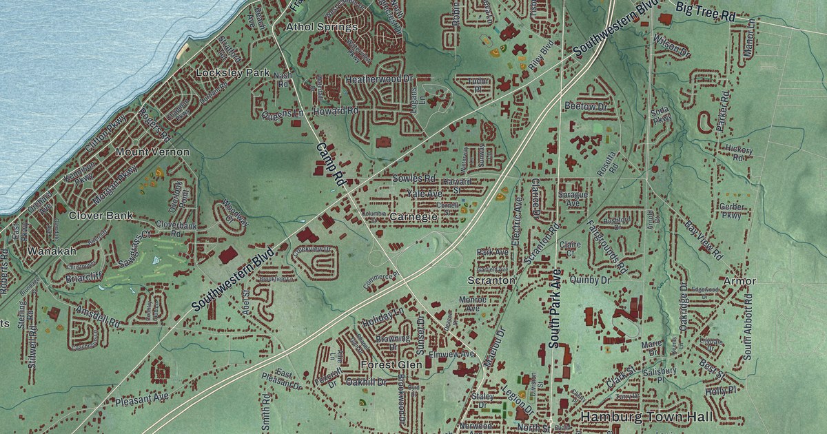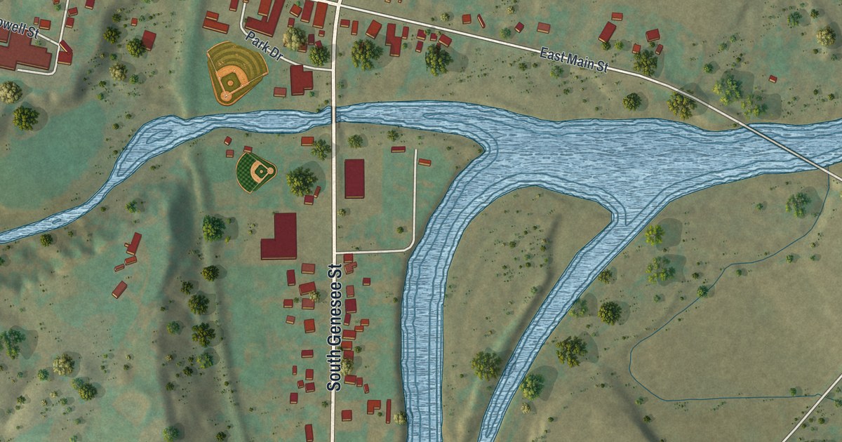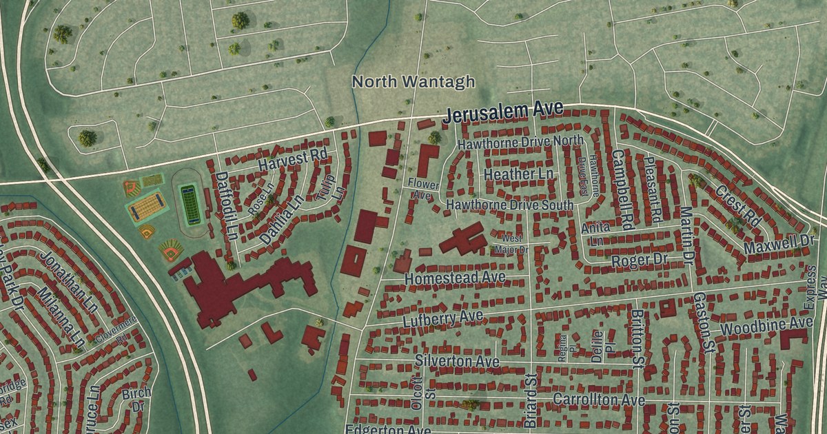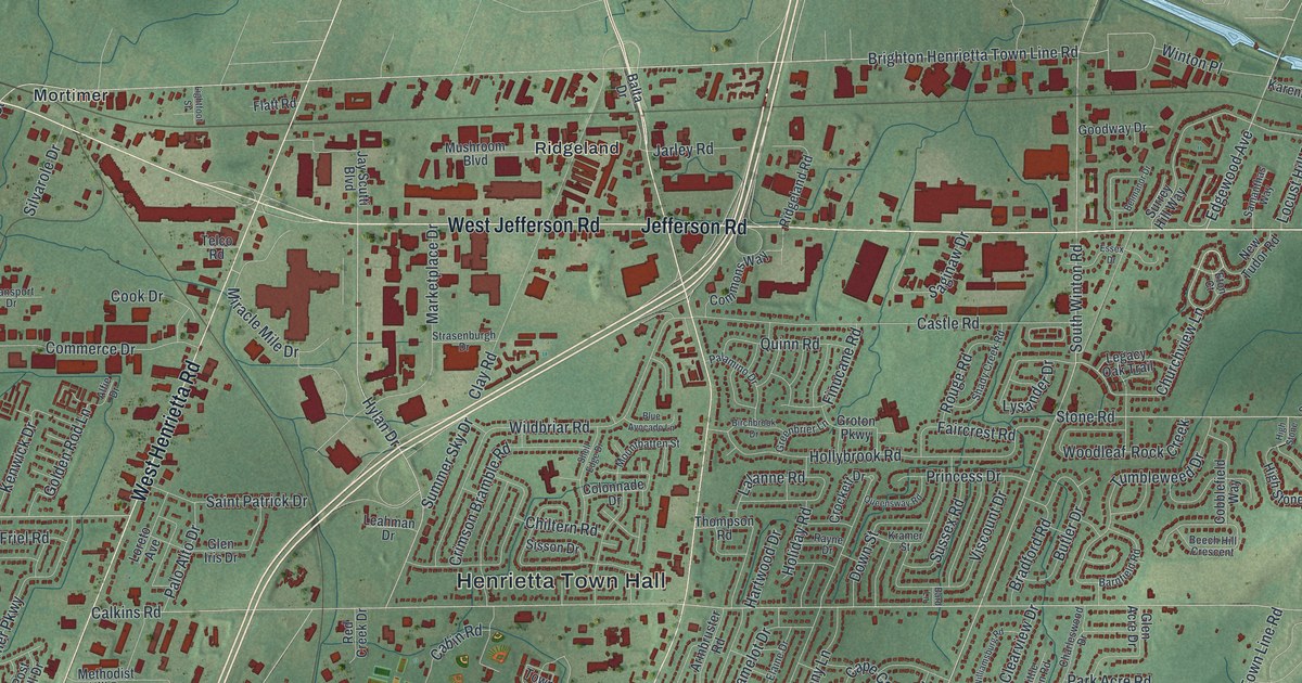
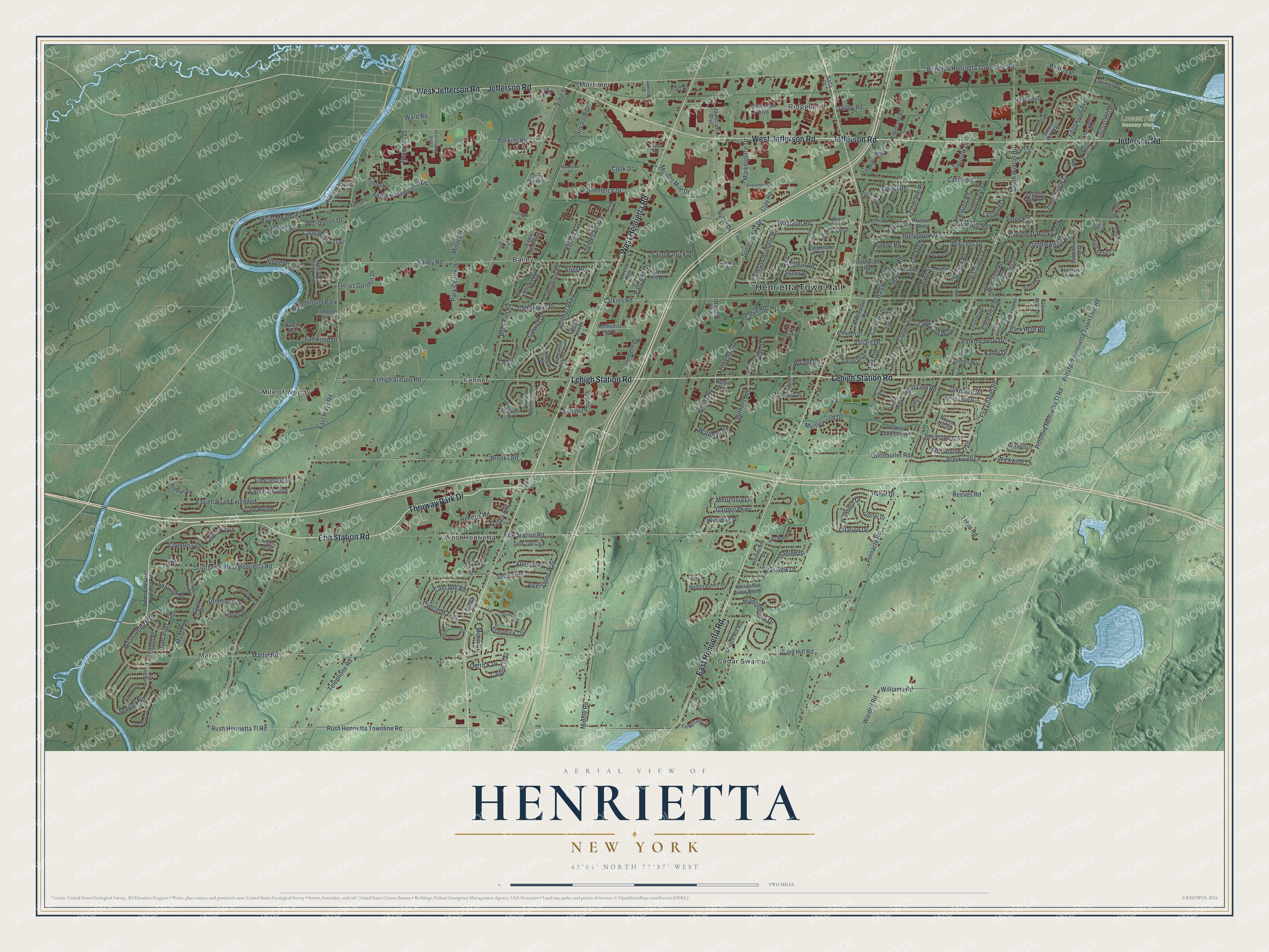
This beautifully detailed map of Henrietta, New York was created in 2026 using aerial imagery combined with modern topographical, census, street and landmark data. It’s a one-of-a-kind view of Henrietta that combines accurate data with a vintage aesthetic. The map shows every building in its true location, many of the roads carry their names, and the shaded topographic relief shows the shape of the land.
Explore an aerial view of Henrietta, New York
On the map you’ll find Henrietta Town Hall, Martin, Bailey, Cedar Swamp, Fenner, and Mile of Woods, along with Thruway Park Drive, Erie Station Road, Lehigh Station Road, Jefferson Road, and more. If you look closely you can even find your house accurately drawn in its correct location. Zoom in on the preview to look for yours.
Did You Know?
Henrietta took its name from Henrietta Laura Pulteney, the Countess of Bath in Britain. Her father, Sir William Pulteney, was a major British investor who owned the land here. She never traveled to the United States to see the town that carried her name.
Take a closer look at the Henrietta map
Names on this map
These names are printed on this map.
Places: Henrietta Town Hall, Martin, Locust Hill Country Club, Bailey, Cedar Swamp, Fenner, Mile of Woods, Mortimer, Ridgeland, West Henrietta, Westcombe Park, Westminster Park, Sedgley Park and Kerry Park.
Streets and roads: Thruway Park Drive, Erie Station Road, Lehigh Station Road, Jefferson Road, West Jefferson Road, East Henrietta Road, West Henrietta Road, Churchview Lane, Brighton Henrietta Town Line Road, Scottsville West Henrietta Road, Winton Place, East River Road.
More street names, A to Z
Aleta Drive, Alfie Drive, Alton Way, Alverstone Way, Amsden Drive, Andrews Memorial Drive, Armbruster Road, Authors Avenue, Ayrshire Lane, Bailey Road, Balta Drive, Bard Lane, Barnfield Road, Beckwith Road, Bedfordshire Drive, Beech Hill Crescent, Belmanor Drive, Bemis Way, Birchbrook Drive, Bitternell Lane, Blackwell Lane, Blaydon Loop, Blue Avocado Lane, Bradford Road, Branchbrook Drive, Brandywine Terrace South, Brooks Road, Butler Drive, Cabin Road, Caitlin Trail, Calkins Road, Calver Court, Camelot Drive, Campfire Road North, Campus Drive, Cape Cod Way, Cape Henry Trail, Cascade Road, Castle Road, Cattaragus Drive, Cave Hollow, Cedarhurst Drive, Celia Drive, Charleswood Drive, Chelsea Meadows Drive, Chiltern Road, Church Hill Road, Citation Drive, Clay Road, Clearview Drive, Clooney Drive, Cobblefield Way, Colleen Way, Colonnade Drive, Colony Lane, Colony Manor Drive, Commerce Drive, Commons Way, Coneflower Drive, Cook Drive, Countess Drive, Covered Wagon Trail, Crimson Bramble Road, Crockett Drive, Davies Avenue, Delaney Drive, Derrick Drive, Dessie Heights, Dikeman Road, Doncaster Trail, Dorm Crescent, Down Street, Eagle Pine Way, East Path Rise, Edgewood Avenue, Egret Drive, Elaine Drive, Elmcrest Rise, Essex Drive, Eton Court, Faircrest Road, Fairwood Drive, Farnum Lane, Farrell Road, Farrell Road Extended, Finn Road, Finucane Road, Fitzpatrick Trail, Flatt Road, Florendin Drive, Fox Chapel Road, Friel Road, Galahad Drive, Galway Drive, Garden Parkway, Gate House Trail, Glen Acre Drive, Glen Iris Drive, Golden Rod Lane, Goldfinch Drive, Goodburlet Road, Goodway Drive, Greenbrier Lane, Green Clover Drive, Groton Parkway, Hartwood Drive, Heather Dale Chase, Hendrix Road, Hidden Vw, High Manor Drive, Highpower Road, High Stone, High Stone Circle, Holiday Road, Hollybrook Road, Horseshoe Lane South, Hummingbird Way, Hylan Drive, Ivory Way, Jarley Road, Jay Scutti Boulevard, John Street, Justinshire Drive, Karenlee Drive, Kathy Drive, Kenneth Drive, Kenwick Drive, Kimball Drive, Kinglet Drive, Kramer Street, Lalanne Road, Landing Street, Leahman Drive, Legacy Oak Trail, Lightfoot Street, Linhome Drive, Little Glen Road, Locust Hill Drive, Lomb Memorial Drive, Longhorn Place, Longton Place, Longtrail Lane, Loreto Avenue, Lucius Gordon Drive, Lysander Drive, Marketplace Drive, Marr Drive, Martin Road, Mertensia Lane, Methodist Hill Drive, Michel Drive, Mickens Bend, Middle Road, Miller Road, Miracle Mile Drive, Moore Road, Morin Circle, Mountbatten Street, Mushroom Boulevard, Myrtlewood Drive, Mystic Lane, Nevins Road, Newstone Road, New Tudor Road, Oak Mills Crossing, Overland Trail, Pacer Drive, Palamino Drive, Palo Alto Drive, Park Acre Road, Park Centre Drive, Parkerhouse Road, Parkmeadow Drive, Park Point Drive, Peakview Drive, Perkins Road, Pinnacle Road, Pinon Drive, Pittsford-Henrietta Town Line Road, Pittsford Henrietta Tl Road, Post Hill Drive, Prairie Trail, Princess Drive, Queensway Road, Quinn Road, Rampart Street, Rayne Drive, Red Creek Drive, Red Lion Road, Reeves Road, Reynolds Drive, Ridgeland Road, River Meadow Drive, Rivers Run, Riverview Drive, Rock Creek, Rouge Road, Round Hill Road, Rush Henrietta Tl Road, Rush Henrietta Townline Road, Saginaw Drive, Saint Patrick Drive, Salzer Heights, Samanthas Way, Shady Creek Road, Shell Edge Drive, Shore Drive, Silvarole Drive, Sisson Drive, Southend Square, South Winton Road, Sparrow Drive, Sperry Drive, Staglen Drive, Stonefield Mews, Stone Road, Strasenburgh Drive, Summer Sky Drive, Summit Point Drive, Surrey Hill Way, Sussex Road, Sweet Pea Drive, Tech Park Drive, Telco Road, Telephone Road, Thames Drive, Thompson Road, Tobin Road, Tomahawk Trail, Town Circle, Transport Drive, Tree Top Lane, Trotter Drive, Tumbleweed Drive, Valiant Drive, Viscount Drive, Vollmer Parkway, Wallman Drive, Wardell Road, Ward Hill Road, Ward Road, Wellington Drive, Wickwine Lane, Wildbriar Road, Wildherd Drive, Williamsburg Road, Williams Road, Windelin Drive, Woodleaf, Wright Road, Yellowstone Drive.
See it on a wall
The Henrietta map as a framed print. Swipe for more.


This beautifully detailed map of Henrietta makes an attractive addition to your office, library, or den, and it can even be used to teach children the geography and history of the area. It also makes a great gift for anyone with Henrietta roots. When you’re done exploring, click here to get your copy of the Henrietta map.