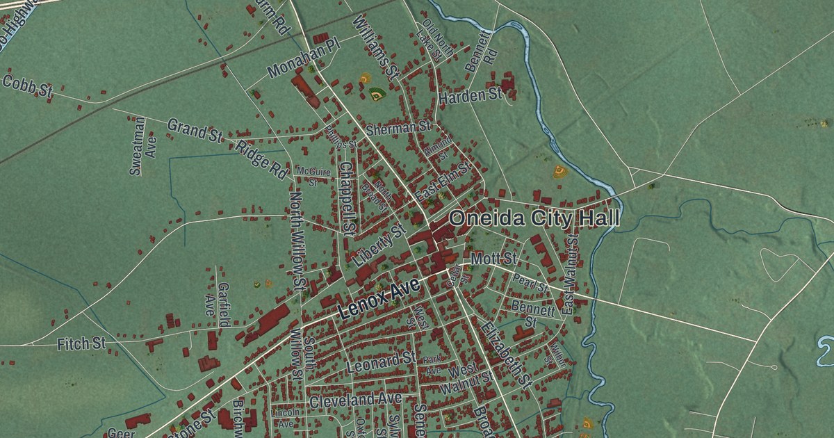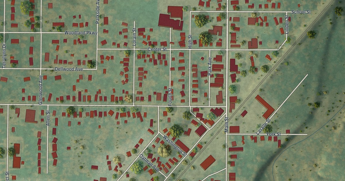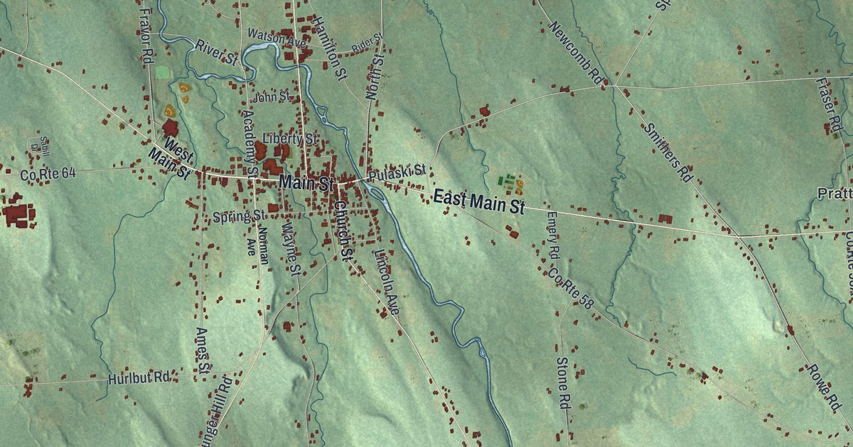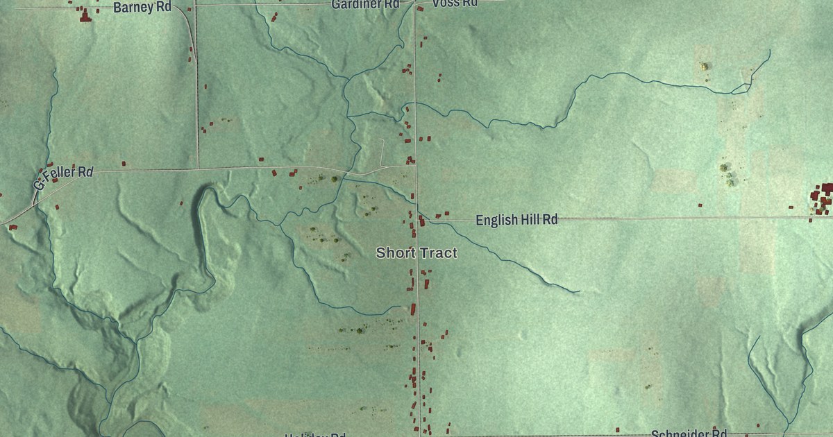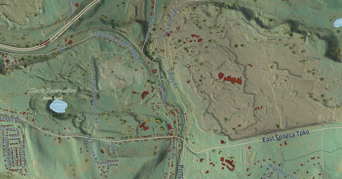
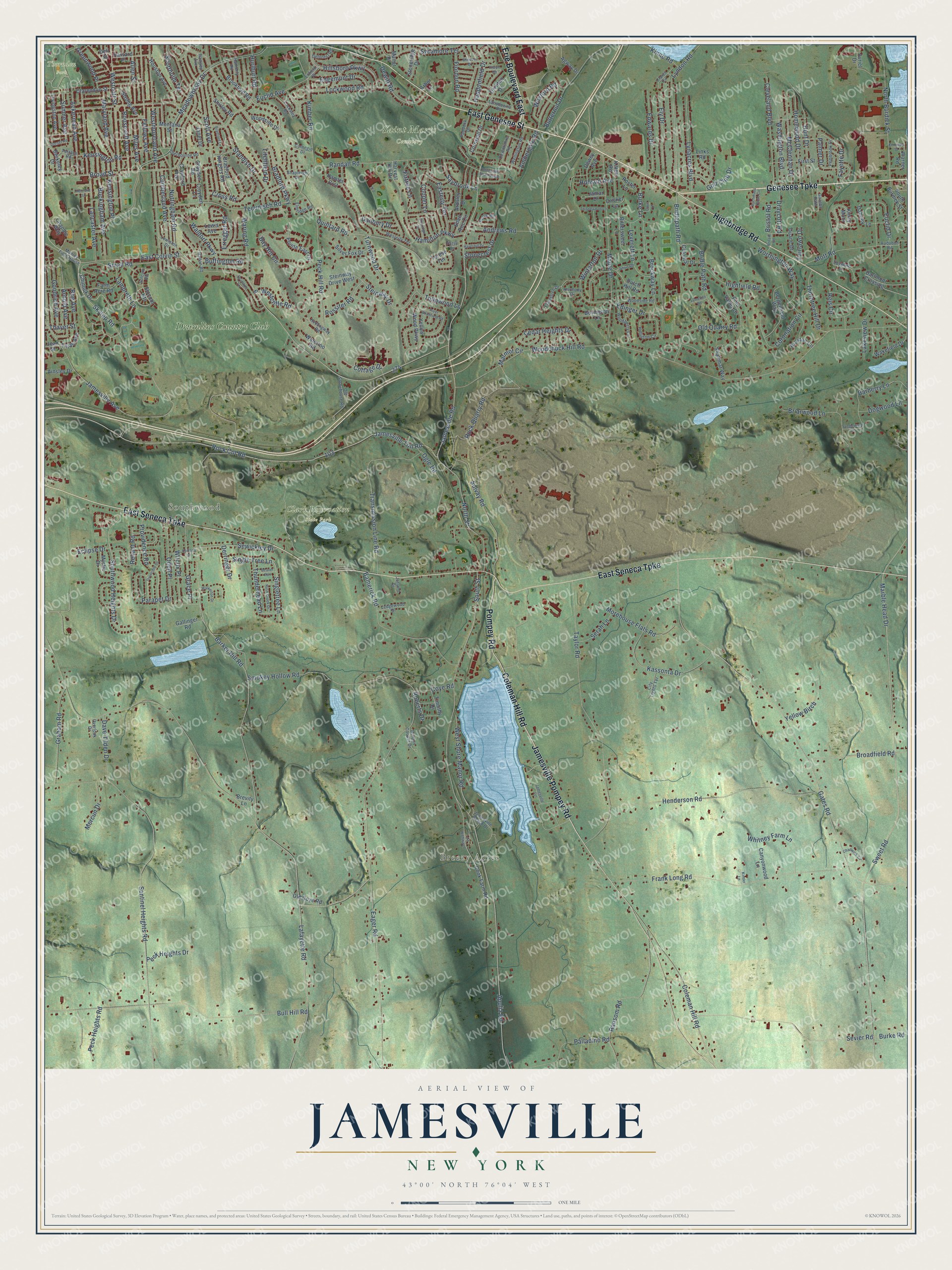
This beautifully detailed map of Jamesville, New York was created in 2026 using aerial imagery combined with modern topographical, census, street and landmark data. It’s a one-of-a-kind view of Jamesville that combines accurate data with a vintage aesthetic. The map shows every building in its true location, many of the roads carry their names, and the shaded topographic relief shows the shape of the land.
Explore an aerial view of Jamesville, New York
On the map you’ll find Southwood, Breezy Acres, Clark Reservation State Park, Saint Marys Cemetery, Thornden Park, and Drumlins Country Club, along with Genesee Turnpike, East Genesee Street, East Seneca Turnpike, Highbridge Road, Jamesville Pompey Road, Coleman Hill Road, and more. If you look closely you can even find your house accurately drawn in its correct location. Zoom in on the preview to look for yours.
Did You Know?
From Internet Archive: "After his marriage he settled in Jamesville, town of De Witt, and engaged in the business of hotel-keeping."
Jamesville is a community in Onondaga County.
Take a closer look at the Jamesville map
Names on this map
These names are printed on this map.
Places: Southwood, Breezy Acres, Clark Reservation State Park, Saint Marys Cemetery, Thornden Park and Drumlins Country Club.
Streets and roads: Genesee Turnpike, East Genesee Street, East Seneca Turnpike, Highbridge Road, Jamesville Pompey Road, Coleman Hill Road, Erie Boulevard East, Pompey Road, Skytop Road, Small Road, Bridlepath Road, Rock Cut Road.
More street names, A to Z
Ackerman Avenue, Agway Drive, Ainsley Drive, Allen Street, Alwyn Road, Ambergate Road, Andrews Road, Apulia Road, Arbor Lane, Ardsley Drive, Arnold Avenue, Audubon Road, Avriel Drive, Bamerick Road, Barberry Lane, Barker Hill Road, Bay Hill Circle, Beaver Run, Bergenfield Way, Berkeley Drive, Bittersweet Lane, Bovington Lane, Bradford Heights Road, Bradford Lane, Bradford Parkway, Braxton Circle, Brevity Lane, Briarwood Lane, Bridle Path Road, Bristol Road, Britain Road, Broadfield Road, Broad Street, Brockway Lane, Brookford Road, Buchmans Close Circle, Buckingham Avenue, Buffington Road, Bull Hill Road, Burke Lane, Burke Road, Butternut Drive, Canyonwood Lane, Carnegie Drive, Cedar Heights Drive, Chadwick Circle, Chapple Way, Chinook Drive, City Lights Terrace, Clarendon Street, Claret Circle, Cleveland Boulevard, Clifford Drive, Colonial Drive, Cook Farm Road, Cooper Lane, Cornwall Drive, Coronation Circle, Cottage Drive, County Highway 1, Cove Lane, Coye Road, Crawford Avenue, Cricket Lane, Cross Road, Croyden Lane, Croyden Road, Cumberland Avenue, Dabney Lane, Danbury Drive, Dartmoor Crossing, Dave Tilden Drive, Deforest Road, Dell Street, Derringer Drive, Dewey Avenue, Dewitt Road, Dewittshire Road, Dogwood Lane, Donridge Drive, Dorset Road, Draycott Road, Drumlins Terrace, Duane Drive, Dutch Hill Road, Eager Road, East Colvin Street, Easterly Terrace, Eclipse Drive, Eden Roc Circle, Edgemont Drive, Edinger Drive, Edwards Drive, Elmridge Road, Ely Drive, Enfield Place, Erregger Road, Euclid Avenue, Euclid Drive, Fairlawn Drive, Farm Acre Road, Fayette Drive, Fellows Avenue, Fiordon Road, First Street, Firtree Lane, Flametree Drive, Frank Long Road, Gallinger Road, Gates Road, Gazebo Path, Golf Club Drive, Goodrich Avenue, Gordon Cooper Drive, Grace Place, Graham Road, Greenwood Place, Haddonfield Drive, Halton Road, Hamilton Parkway, Hamlet Crst, Harmony Drive, Harvard Place, Harvest Hill Drive, Hatherly Road, Haverhill Drive, Hemingway Road, Henderson Road, Hertford Street, Highfield Road, Hillsboro Parkway, Hobson Avenue, Holliston Circle, Homewood Drive, Houston Avenue, Hunt Drive, Hurlburt Road, Invincible Drive, Jamar Drive, Jamesville Avenue, Jamesville Beach Drive, Jamesville Road, Jamesville Terrace, Jamesville Toll Road, Janet Drive, Jean Street, Jutland Drive, Kassonta Drive, Kennedy Street, Kensington Place, Kensington Road, Kimber Road, Kimry Moor, Kinder Lane, Kinne Road, Kittell Road, Lafayette Road, Lakeview Drive, Lambreth Lane, Lancaster Avenue, Lansdowne Road, Ledgewood Drive, Leverett Lane, Lewis Avenue, Lewiston Drive, Links Road, Litchfield Drive, Livingston Avenue, Locksley Road, Lockwood Road, Lymekiln Road, Lynacres Boulevard, Lyndon Road, Manley Field House, Manor Drive, Maple Drive, Marble Head Drive, Marmot Circle, Maryland Avenue, McClennan Drive, Meadowbrook Drive, Mercun Drive, Miles Avenue, Montana Street, Morehouse Flats Road, Mott Road, Mystic Drive, North Burdick Street, North Street, Nottingham Road, Odell Place, Ogle Road, Old Coye Road, Old Quarry Road, Old Stonehouse Road, Orvilton Drive, Overlook Drive, Paddock Drive, Palladino Road, Palmer Drive, Parapet Drive, Patsy Lane, Pebble Hill Road North, Peck Heights Drive, Peck Heights Road, Peck Hill Road, Pembrook Drive, Pine Valley Drive, Pointe East Drive, Poole Road, Poster Lane, Providence Road, Quintard Road, Ramsey Avenue, Randall Road, Ransom Road, Reis Circle, Reliant Road, River Birchfield Road, Roberts Drive, Rock Quarry Road, Roe Avenue, Roosevelt Avenue, Rossiter Road, Rush Creek Drive, Saybrook Lane, Scott Avenue, Scottholm Terrace, Sentinel Heights Road, Serah Lane, Sevier Road, Sewickley Drive, Shalimar Way, Shapleigh Drive, Sherbourne Road, Shirley Road, Short Road, Silver Fox Drive, Singletree Lane, Single Tree Lane, Slocum Heights, Smokey Hollow Road, Solcum Heights, Solvay Road, South Burdick Street, South Street, Southwood Heights Drive, Spyglass Lane, Standish Drive, Steinway Drive, Steinway Drive West, Stonecrest Drive, Stoneridge Drive, Strong Avenue, Sumner Avenue, Sweet Road, Sycamore Terrace, Tanglewood Lane, Taylor Road, Tecumseh Road, Tejah Avenue, Terese Terrace, Terrace Road, Thayer Street, Thistlewood Lane, Thorntree Hill Drive, Thunderhead Lane, Timothy Drive, Transmission Line Road, Tulipwood Lane, Turnwood Drive, Wakefield Drive, Waldorf Parkway, Walkerton Drive, Waring Road, Warner Road, Washington Boulevard, Waterloo Road, Wellington Road, Westcliffe Road, Westcott Street, Westerly Terrace, Westmoreland Avenue, West Shore Manor Road, Wexford Road, Whitney Farm Lane, Wilcox Place, Windsor Drive, Winterton Drive, Woodberry Lane, Woodchuck Hill Road, Woodside Drive, Woodside Road, Worthington Way, Yellow Birch, Yellow Wood Parkway.
See it on a wall
The Jamesville map as a framed print. Swipe for more.


This beautifully detailed map of Jamesville makes an attractive addition to your office, library, or den, and it can even be used to teach children the geography and history of the area. It also makes a great gift for anyone who grew up in Jamesville or moved away. When you’re done exploring, click here to get your copy of the Jamesville map.