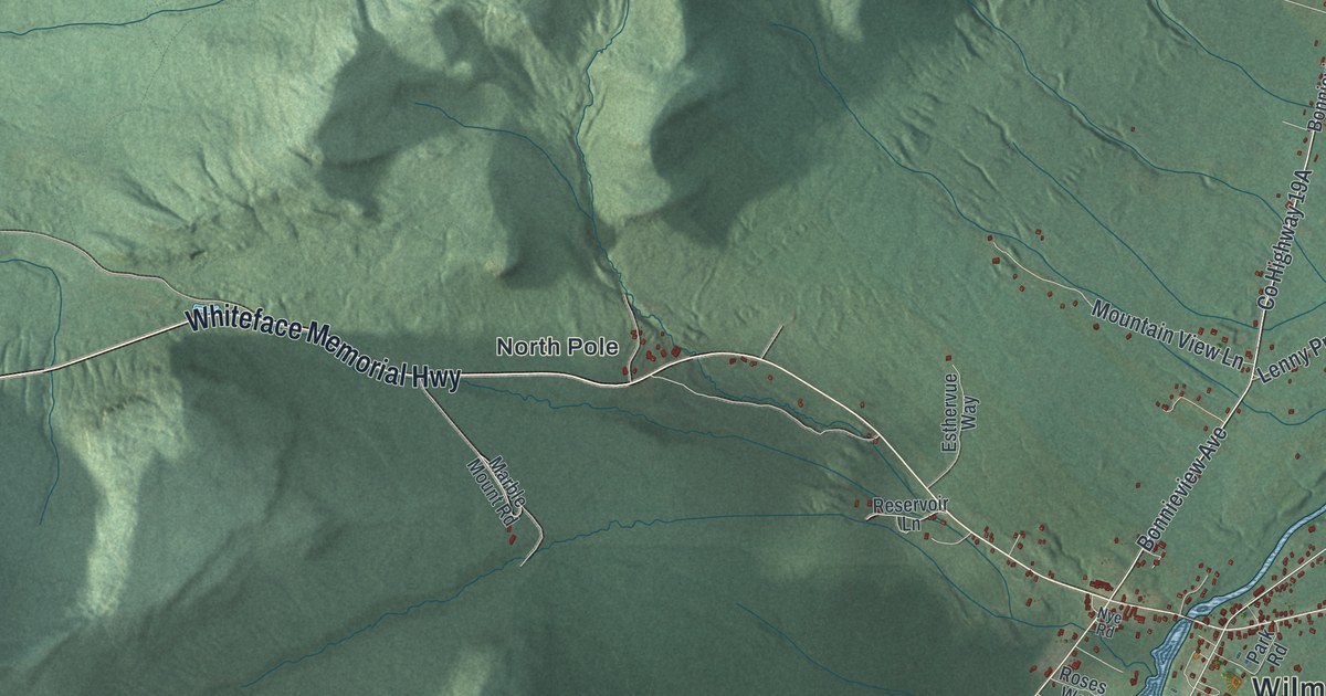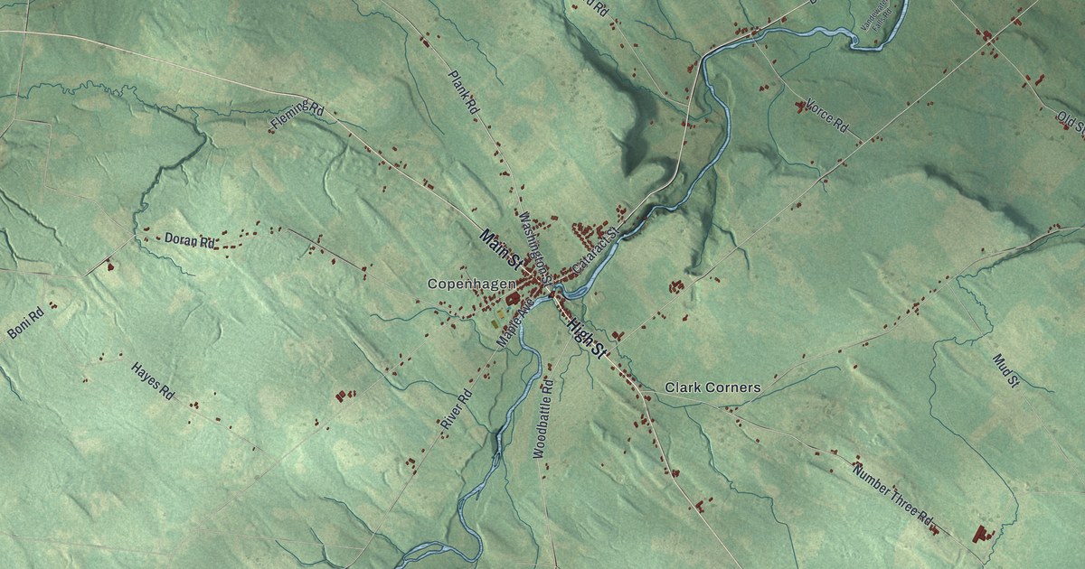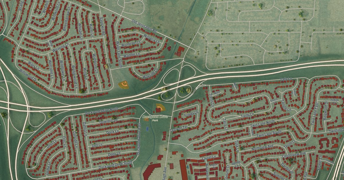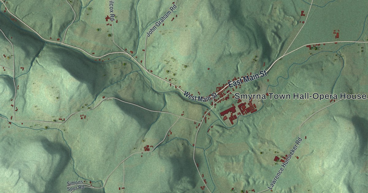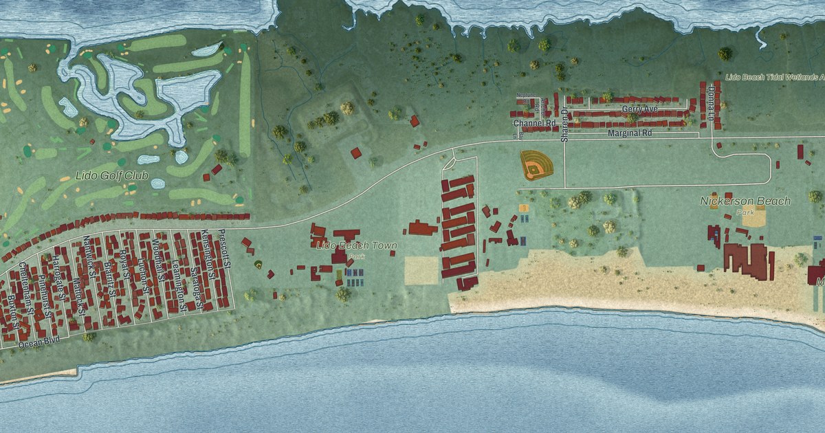
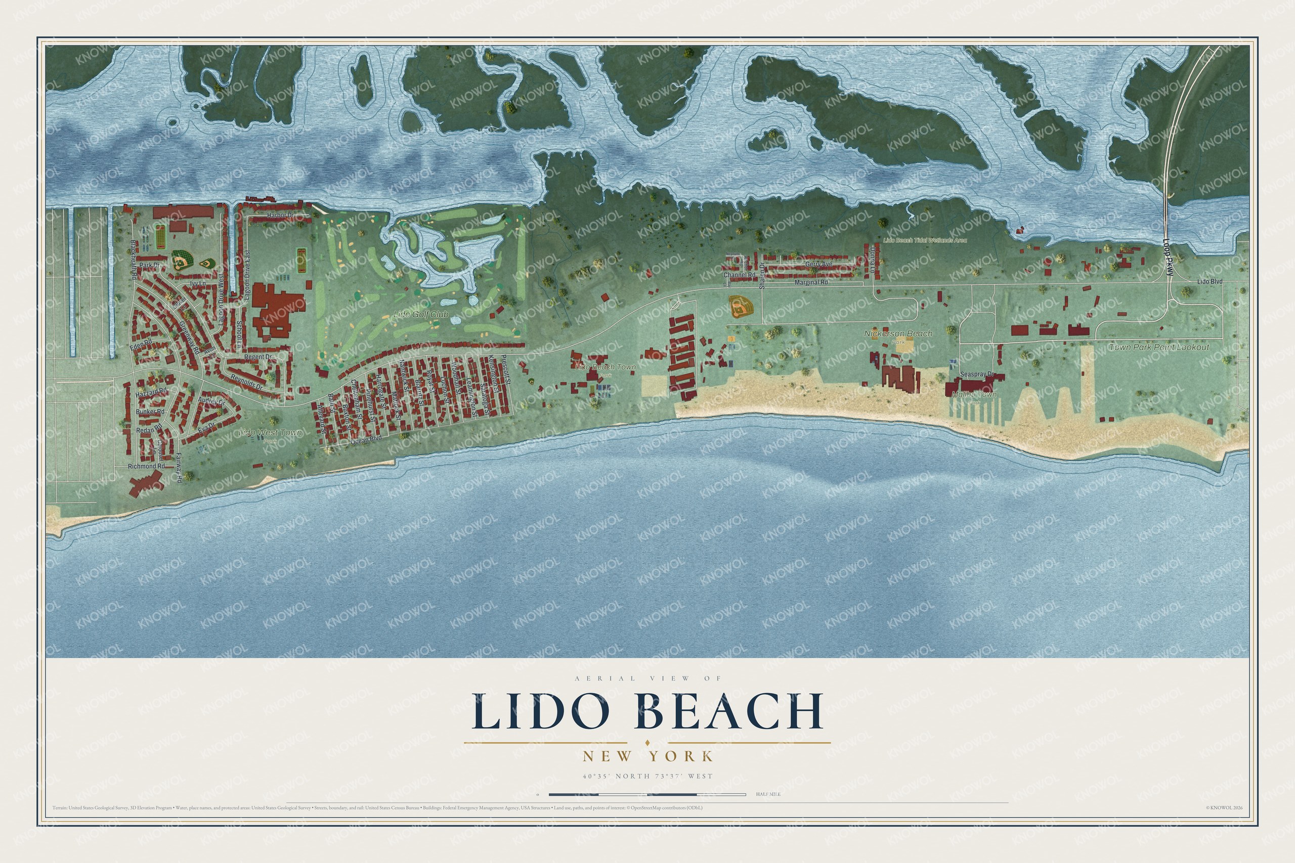
This beautifully detailed map of Lido Beach, New York was created in 2026 using aerial imagery combined with modern topographical, census, street and landmark data. It’s a one-of-a-kind view of Lido Beach that combines accurate data with a vintage aesthetic. The map shows every building in its true location, many of the roads carry their names, and the shaded topographic relief shows the shape of the land.
Explore an aerial view of Lido Beach, New York
On the map you’ll find Lido Beach Tidal Wetlands Area, Lido Beach Town Park, Lido West Town Park, Malibu Town Park, Nickerson Beach Park, Town Park Point Lookout, and Lido Golf Club, along with Loop Parkway, Lido Boulevard, Blackheath Road, Regent Drive, Fairway Road, and more. Lido Beach sits about 2 miles southeast of Barnum Island, 3 miles southeast of Island Park and 3 miles east of Long Beach. If you look closely you can even find your house accurately drawn in its correct location. Zoom in on the preview to look for yours.
Did You Know?
The pink oceanfront Lido Towers began as the Lido Beach Club of State Senator William Reynolds, the developer credited with building much of Long Beach. The club opened in 1928 with Moorish architecture, a glass-enclosed saltwater pool and cabanas, and Reynolds called it the American Riviera. During the Second World War the U.S. Navy took it over as a naval training and separation center, and in 1980 it became a luxury condominium. That's from the Long Island Herald.
Take a closer look at the Lido Beach map
Names on this map
These names are printed on this map.
Places: Lido Beach Tidal Wetlands Area, Lido Beach Town Park, Lido West Town Park, Malibu Town Park, Nickerson Beach Park, Town Park Point Lookout and Lido Golf Club.
Streets and roads: Loop Parkway, Lido Boulevard, Blackheath Road, Regent Drive, Fairway Road, Greenway Road, Seaspray Drive, Lagoon Drive West, Lagoon Drive East, Gerry Avenue, Marginal Road, Reynolds Drive.
More street names, A to Z
Allevard Street, Anchor Road, Audrey Drive, Avon Lane, Bath Street, Bay Lane, Biarritz Street, Bunker Road, Buxton Street, Carousel Lane, Channel Road, Cheltenham Street, Clover Lane, Donna Lane, Eden Road, Eva Drive, Harbor Drive, Harrogate Street, Hazzard Road, Ivy Lane, Kensington Street, Leamington Street, Luchon Street, Matlock Street, Nantwick Street, Neptune Road, Ocean Boulevard, Park Drive, Pinehurst Street, Prescott Street, Redan Road, Richmond Road, Royat Street, Saratoga Street, School Lane, Sharen Drive, Woodhail Street.
See it on a wall
The Lido Beach map as a framed print. Swipe for more.


This beautifully detailed map of Lido Beach makes an attractive addition to your office, library, or den, and it can even be used to teach children the geography and history of the area. It also makes a great gift for anyone with Lido Beach roots. When you’re done exploring, click here to get your copy of the Lido Beach map.