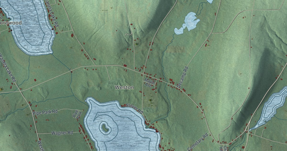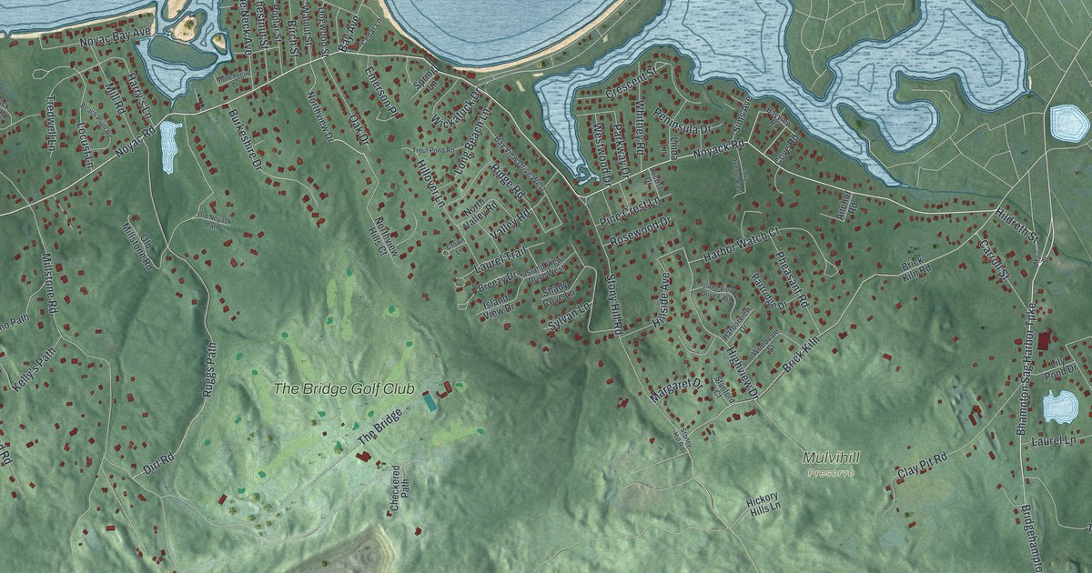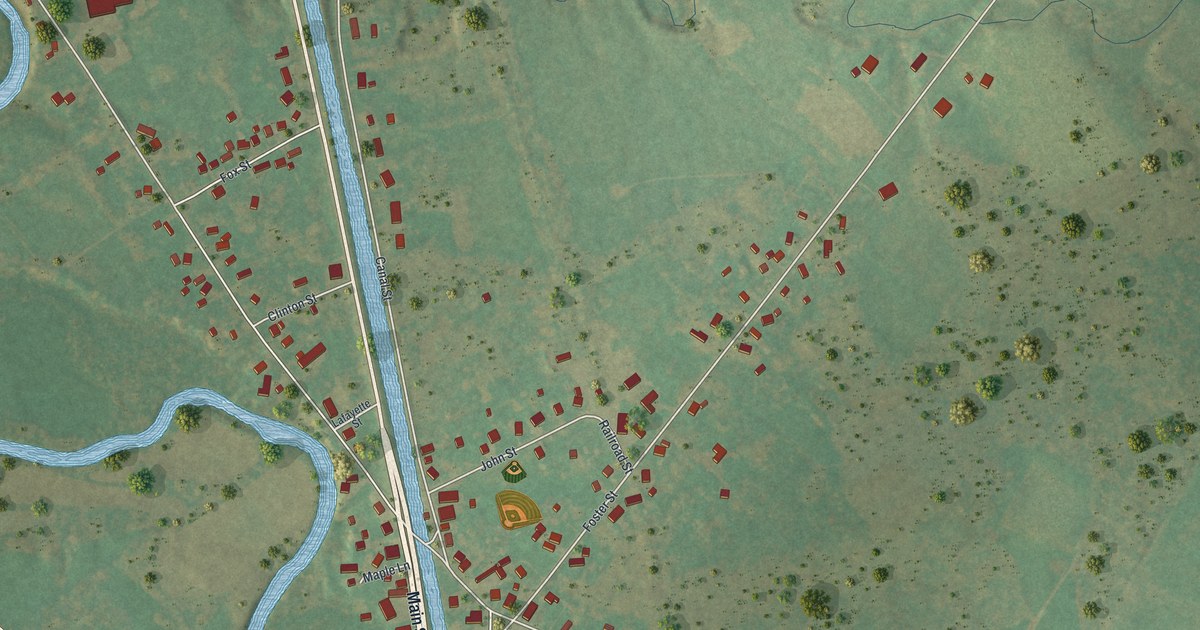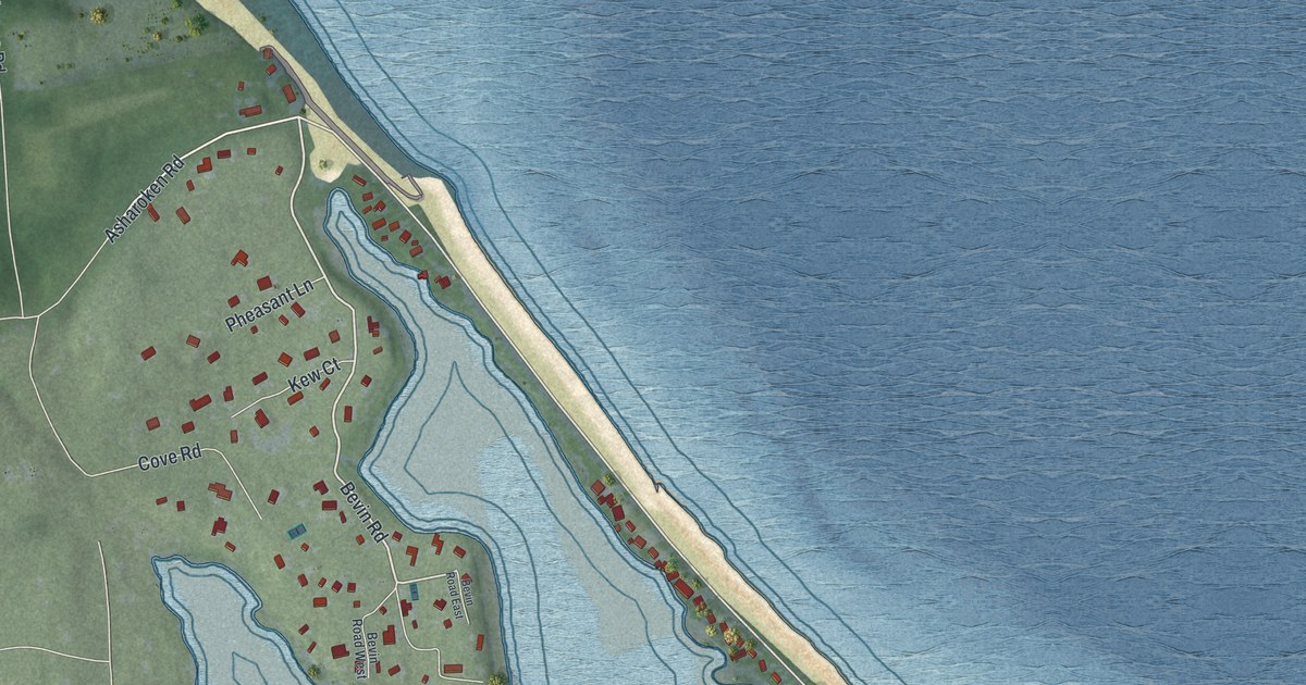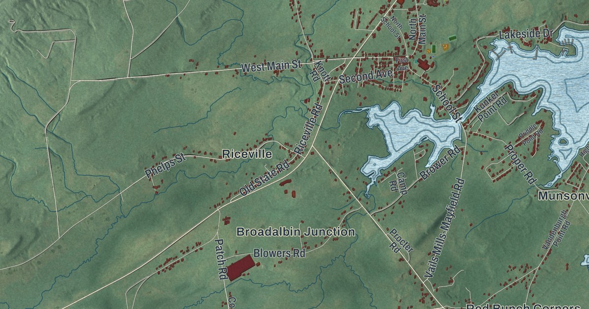
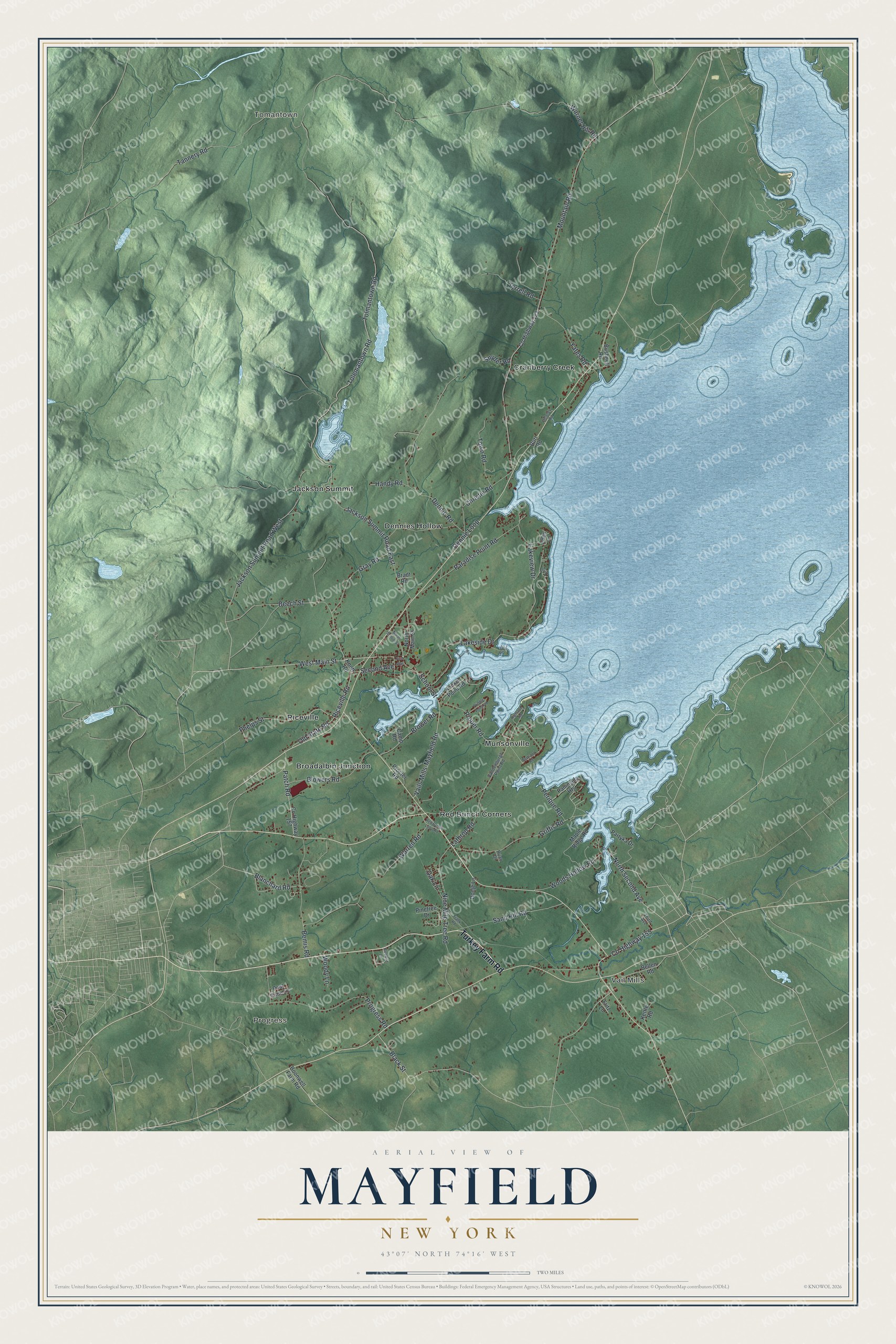
This beautifully detailed map of Mayfield, New York was created in 2026 using aerial imagery combined with modern topographical, census, street and landmark data. It’s a one-of-a-kind view of Mayfield that combines accurate data with a vintage aesthetic. The map shows every building in its true location, many of the roads carry their names, and the shaded topographic relief shows the shape of the land.
Explore an aerial view of Mayfield, New York
On the map you’ll find Tomantown, Progress, Vail Mills, Broadalbin Junction, and Cranberry Creek, along with Turkey Farm Road, Second Avenue, Blanchard Road, Main Street, Tolemantown Road, and more. If you look closely you can even find your house accurately drawn in its correct location. Zoom in on the preview to look for yours.
Did You Know?
Families first settled the Mayfield Patent in 1772. Sir William Johnson soon built a grist mill on Mayfield Creek. During the Revolutionary War, Loyalist and Mohawk raiders struck the young settlements. A fort called the Sacondaga Blockhouse went up in May 1779, yet most families had left by the war’s end. The town was formally established in 1793.
Take a closer look at the Mayfield map
Names on this map
These names are printed on this map.
Places: Tomantown, Progress, Vail Mills, Broadalbin Junction, Cranberry Creek, Dennies Hollow, Jackson Summit, Munsonville, Red Bunch Corners and Riceville.
Streets and roads: Turkey Farm Road, North Second Avenue, Blanchard Road, West Main Street, Tolemantown Road, Jackson Summit Road West, School Street, Griffis Road, Beech Street, Nine Mile Tree Road, Yates Road, Mountain Road.
More street names, A to Z
Bellen Road, Bemis Road, Bertrand Road, Black Street, Blowers Road, Bluebird Lane, Boonwell Farm Road, Bradt Road, Brian Drive, Brower Road, Burr Road, Bushnell Road, Camp Road, Christie Road, County Highway 123, County Highway 155, County Highway 157, Delaney Road, Dennie Loop, Dennie Road, Donje Lane, Eden Lane, First Avenue, Fox Drive, Frank Road, Fritz Lane, Gray Road, Handy Road, Highland Road, Jackson Summit Road East, Kettle Road, Knott Road, Kunkel Point Road, Lakeside Drive, Lakeview Drive, Lathrop Road, Maple Ridge Road, North Main Street, North School Street, Oak Lane, Old State Road, Paninsula Heights, Paradise Point Road, Partyka Drive, Patch Road, Perique Road, Phelps Street, Pinetree Drive, Post Time Lane, Priddle Point Road, Procter Road, Progress Road, Proper Road, Red Bunch Loop Road, Riceville Road, Sand Hill Road, Second Avenue, Snyder Road, Tannery Road, Third Avenue, Tolmantown Road, Town Road, Tyrrell Road, Vails Mills-Mayfield Road, Vandenburgh Point Road, Warner Hill Road, Warren Road, Woods Hollow Road, Woody Lane.
See it on a wall
The Mayfield map as a framed print. Swipe for more.


This beautifully detailed map of Mayfield makes an attractive addition to your office, library, or den, and it can even be used to teach children the geography and history of the area. It also makes a great gift for anyone with Mayfield roots. When you’re done exploring, click here to get your copy of the Mayfield map.