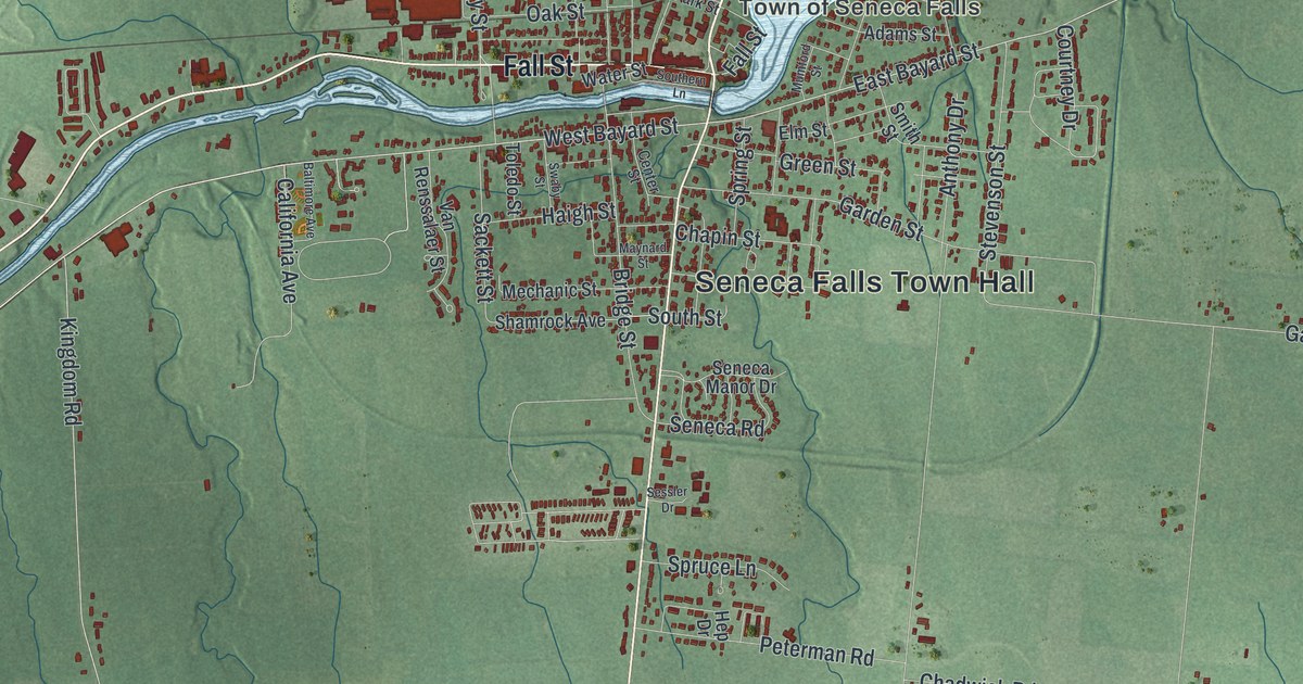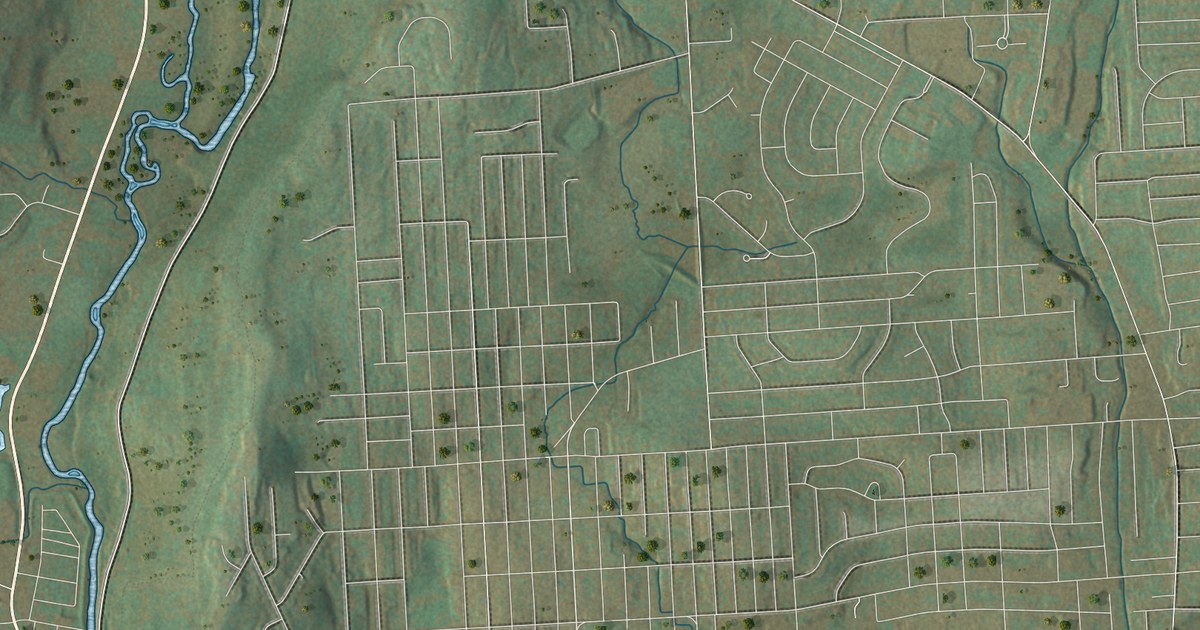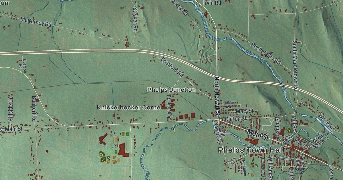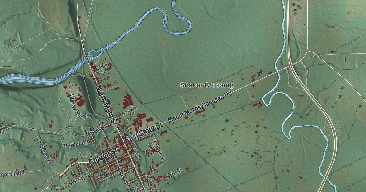
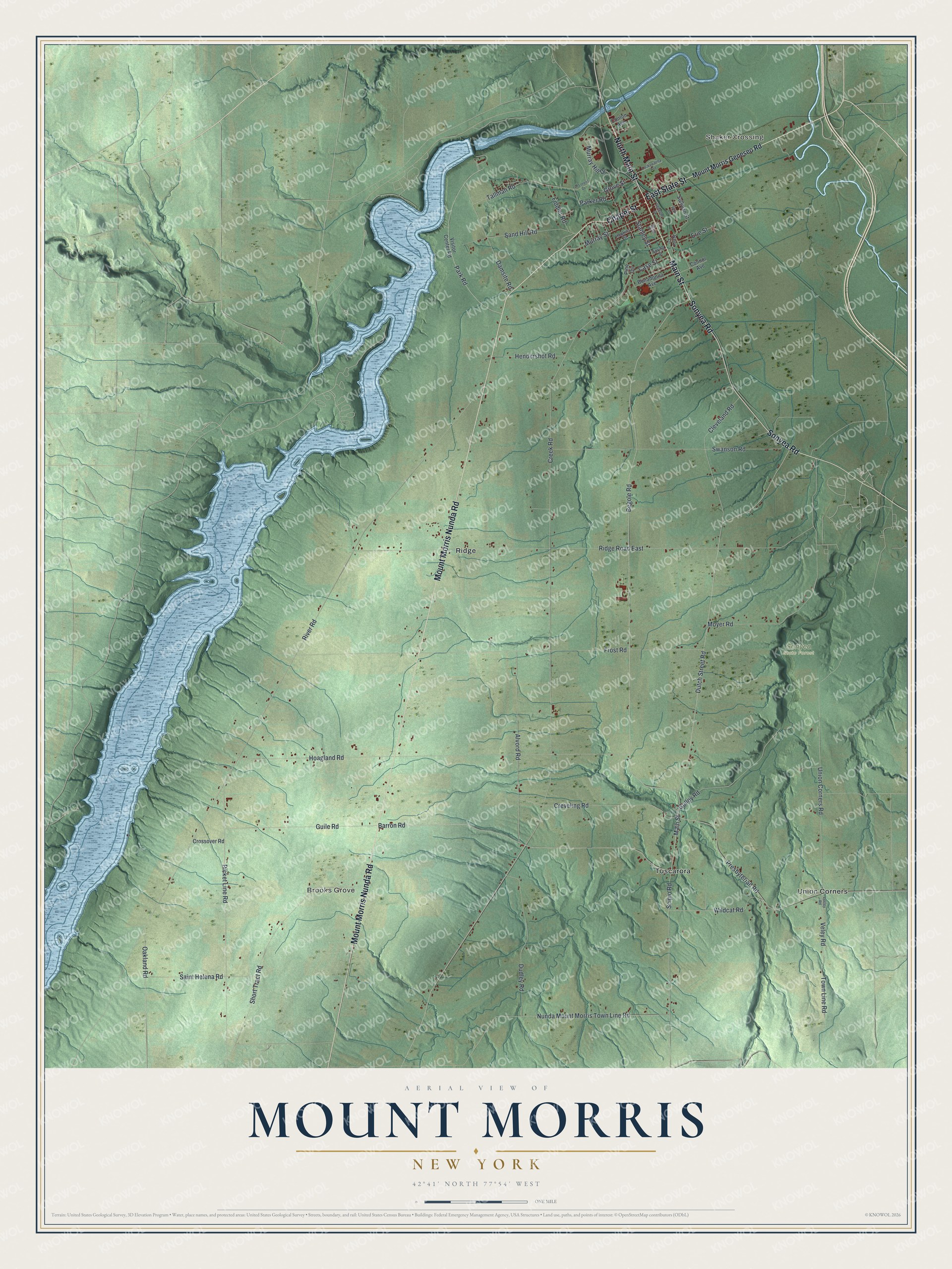
This beautifully detailed map of Mount Morris, New York was created in 2026 using aerial imagery combined with modern topographical, census, street and landmark data. It’s a one-of-a-kind view of Mount Morris that combines accurate data with a vintage aesthetic. The map shows every building in its true location, many of the roads carry their names, and the shaded topographic relief shows the shape of the land.
Explore an aerial view of Mount Morris, New York
On the map you’ll find Shaker Crossing, Brooks Grove, Ridge, Tuscarora, Union Corners, and Sonyea State Forest, along with State Street, Main Street, Mount Morris Nunda Road, Sonyea Road, Chapel Street, and more. If you look closely you can even find your house accurately drawn in its correct location. Zoom in on the preview to look for yours.
Did You Know?
Mount Morris takes its name from Robert Morris, a Founding Father of the United States. Europeans first settled the area around 1784. It was known first as Allens Hill and later as Richmond Hill. The town was formed from Leicester in 1818.
Take a closer look at the Mount Morris map
Names on this map
These names are printed on this map.
Places: Shaker Crossing, Brooks Grove, Sonyea State Forest, Ridge, Tuscarora and Union Corners.
Streets and roads: East State Street, Main Street, Mount Morris Nunda Road, North Main Street, Sonyea Road, Chapel Street, Union Corners Road, Veley Road, Barron Road, Tallman Road, Creek Road, Damsite Road.
More street names, A to Z
Al Lorenz Drive, Alvord Road, Begole Road, Bonadonna Avenue, Case Street, Cleveland Road, Conlon Avenue, Connor Avenue, Creveling Road, Crossover Road, Dudley Road, Dutch Street Road, Elm Street, Erie Street, Fiddler Road, Frost Road, Genesee Street, Grove Street, Guile Road, Gulley Road, Hendershot Road, Hoagland Road, Hopkins Street, Lackawanna Avenue, Mount Morris Geneseo Road, Moyer Road, Murray Hill Drive, Murray Street, Narry Lane, Nunda Mount Morris Town Line Road, Oakland Road, Parker Road, Park Lane, Park Road, Picket Line Road, Pine Circle, Presbyterian Road, Ridge Road East, River Road, Saint Helena Road, Sand Hill Road, Scipio Road, Short Tract Road, Spring Street, Stanley Street, Sullivan Street, Swanson Road, Town Line Road, Veeley Road, Visitor Center Road, Wildcat Road.
See it on a wall
The Mount Morris map as a framed print. Swipe for more.


This beautifully detailed map of Mount Morris makes an attractive addition to your office, library, or den, and it can even be used to teach children the geography and history of the area. It also makes a great gift for anyone with Mount Morris roots. When you’re done exploring, click here to get your copy of the Mount Morris map.