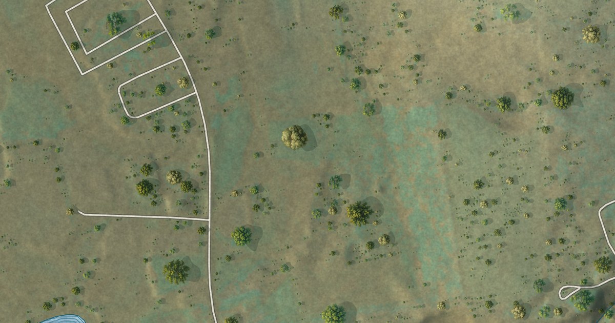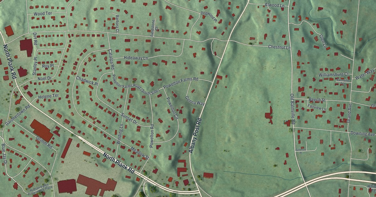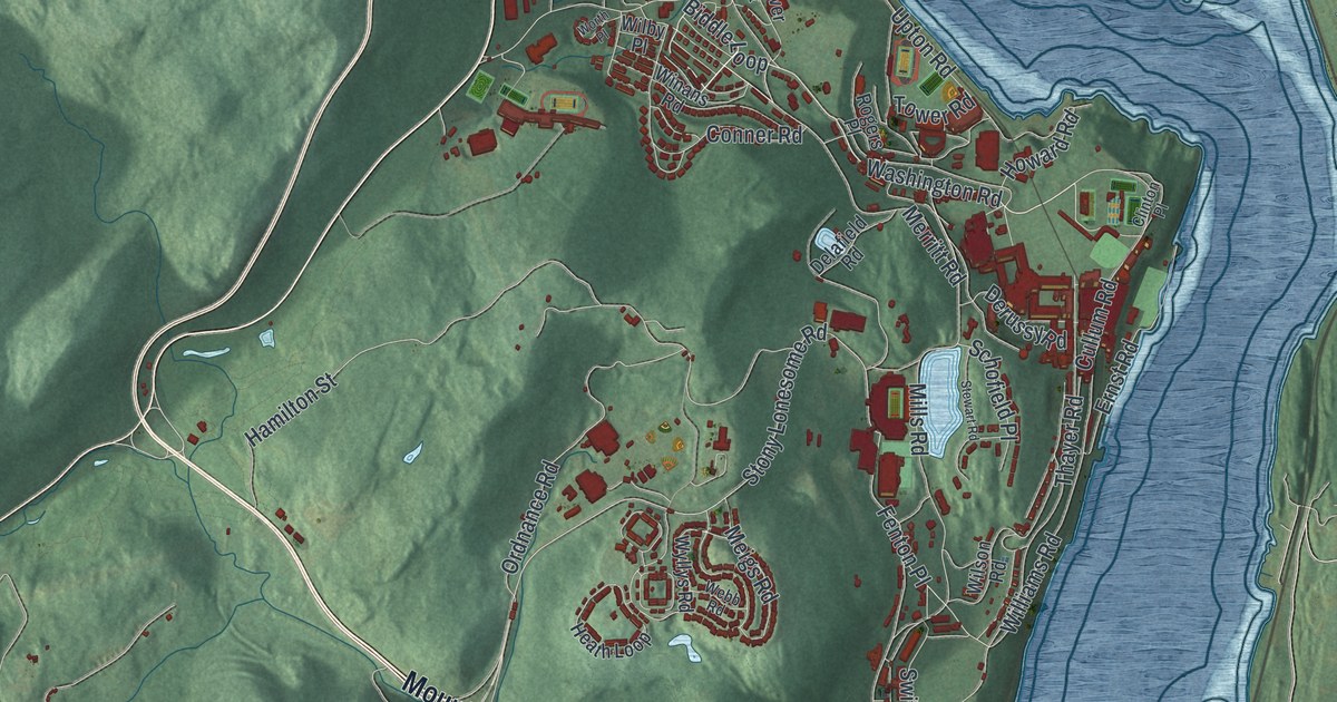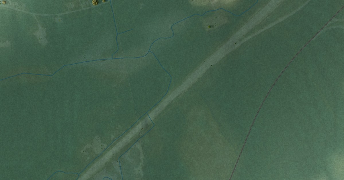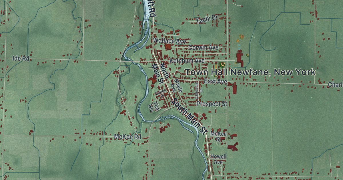
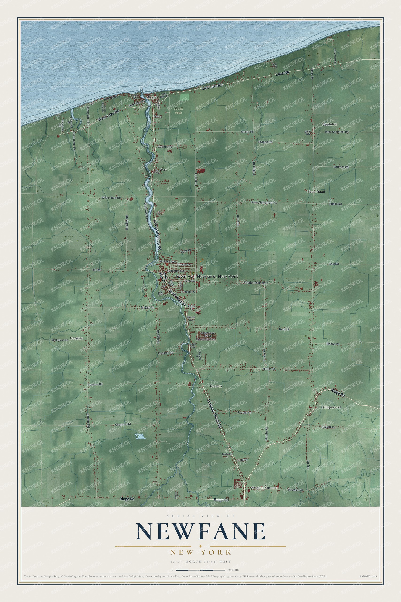
This beautifully detailed map of Newfane, New York was created in 2026 using aerial imagery combined with modern topographical, census, street and landmark data. It’s a one-of-a-kind view of Newfane that combines accurate data with a vintage aesthetic. The map shows every building in its true location, many of the roads carry their names, and the shaded topographic relief shows the shape of the land.
Explore an aerial view of Newfane, New York
On the map you’ll find Town Hall Newfane New York, Wrights Corners, Ridgewood, Appleton, Olcott, Coomer, and Krull Park, along with Ridge Road, Lockport Olcott Road, Main Street, Lake Road, and more. If you look closely you can even find your house accurately drawn in its correct location. Zoom in on the preview to look for yours.
Did You Know?
In 1939 a Newfane resident found a 140-year-old stone marker in a backyard. It bore the initials of William and John Willink, surveyors for the Holland Land Company. They had set the stone to mark the northern end of the Transit Road. That’s from the 1940 WPA guide to New York.
Take a closer look at the Newfane map
Names on this map
These names are printed on this map.
Places: Wrights Corners, Ridgewood, Appleton, Olcott, Coomer, Krull Park, Burt, Corwin and Hess Road.
Streets and roads: Ridge Road, Lockport Olcott Road, South Main Street, East Lake Road, Lake Road, West Lake Road, West Bluff, Cherry Croft Lane, East Avenue, Transit Road, Ketchum Avenue, Corwin Station.
More street names, A to Z
Autumnview Station, Birch Lane, Bishop Road, Bixler Road, Brown Road, Caledonia Street, Charlotteville Road, Chestnut Road, Condren Road, Coomer Road, Corwin Avenue, Dale Road, Day Road, Drake Settlement Road, Dublin Road, Dutton Place, East Main Street, Eastwood Drive, Ellicott Road, Ewings Road, Franklin Street, Fuller Road, Godfrey Road, Gow Road, Hatter Road, Hoffman Road, Hope Lane, Howell Avenue, Ide Road, Jacques Road, Jockey Road, Lake Avenue, Lake Pointe Drive, Lake Street, Lockwood Heights Road, Maple Avenue, McClelland Road, McClew Road, McKee Road, McKee Street, Michelle Drive, Murphy Road, North Main Street, Old Coomer Road, Park Lane, Phillips Road, Prospect Street, Ridgelea Drive, Roland Drive, Rounds Road, Swigert Road, Tachi Drive, The Heights, Van Horn Street, Wallace Avenue, Ward Heights, West Avenue, West Creek Road, West Main Street, West Somerset Road, Wheeler Road, Wilson Burt Road, Woodland Avenue, Woodland Heights.
See it on a wall
The Newfane map as a framed print. Swipe for more.


This beautifully detailed map of Newfane makes an attractive addition to your office, library, or den, and it can even be used to teach children the geography and history of the area. It also makes a great gift for anyone who grew up in Newfane or moved away. When you’re done exploring, click here to get your copy of the Newfane map.