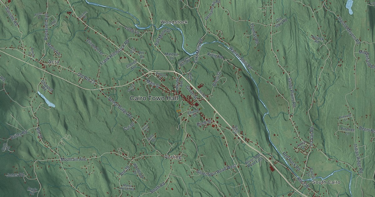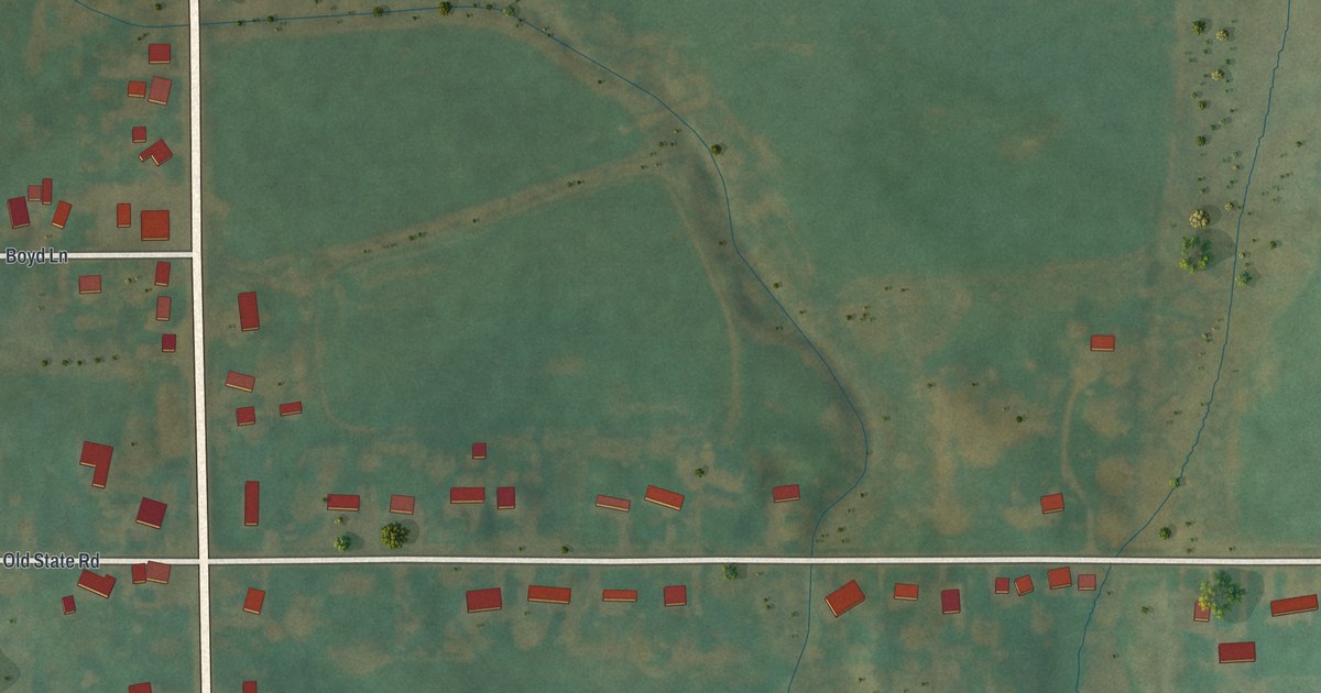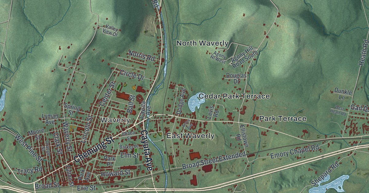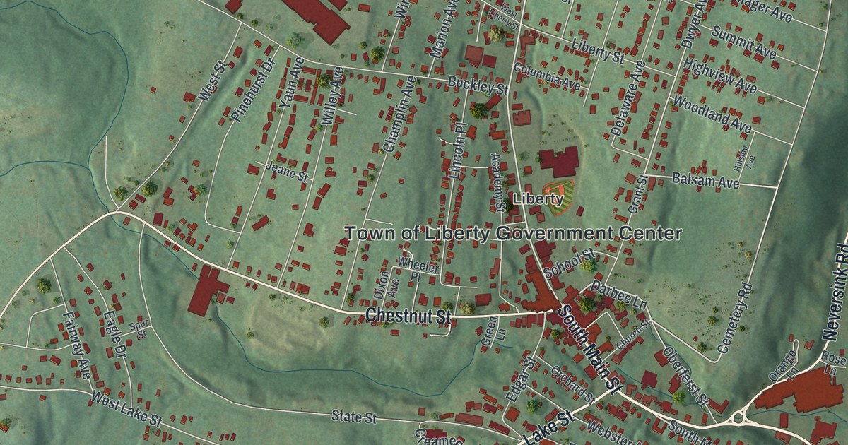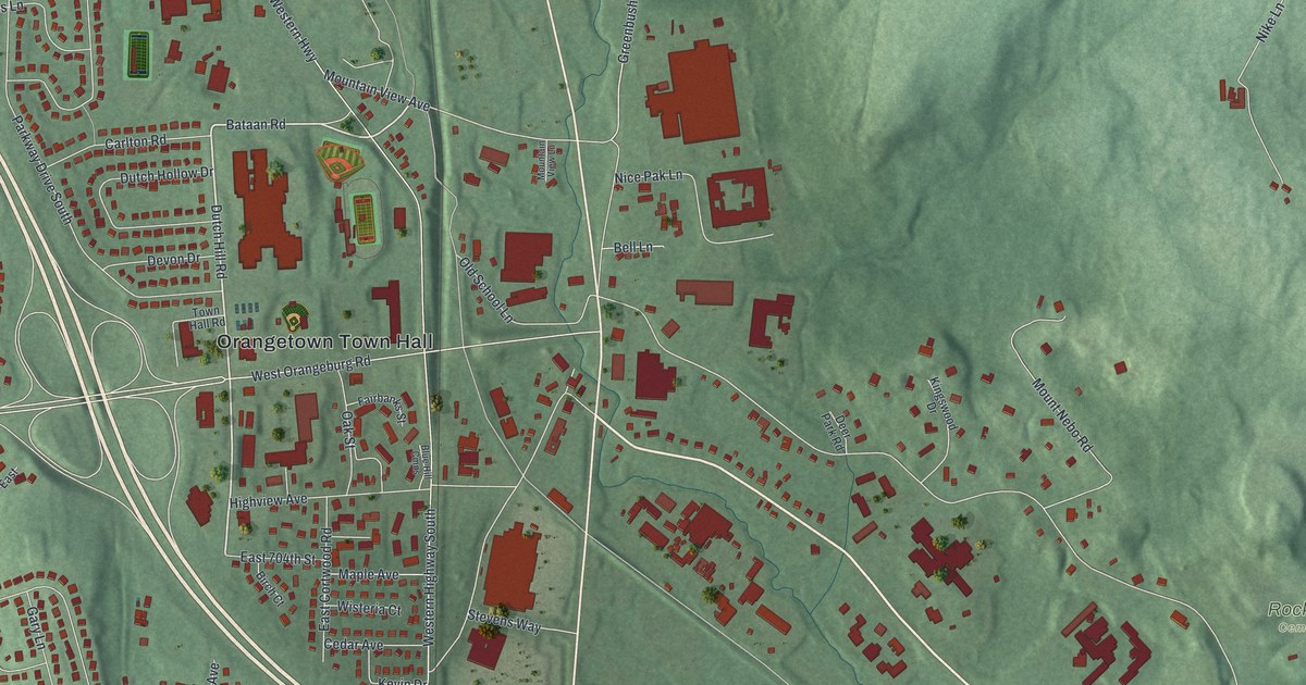
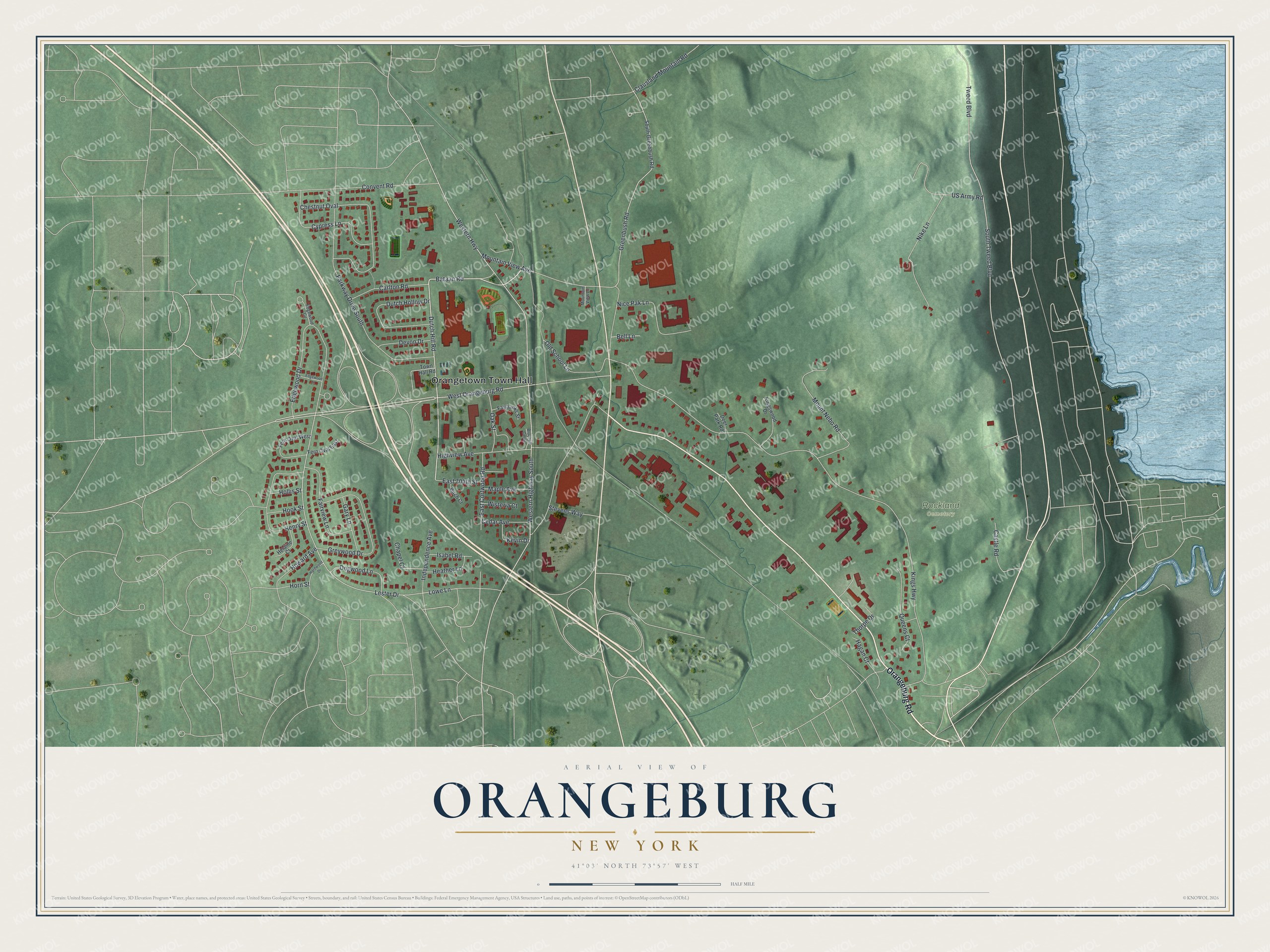
This beautifully detailed map of Orangeburg, New York was created in 2026 using aerial imagery combined with modern topographical, census, street and landmark data. It's a modern aerial view of Orangeburg in Rockland County, New York, that combines modern data with a vintage aesthetic. The roads feature printed names, and if you look closely you can find your exact house accurately shown in its correct location.
Explore an aerial view of Orangeburg, New York
On this map you'll find Orangetown Town Hall, Rockland Cemetery, Orangeburg Road, Dutch Hill Road, Bataan Road, Lester Drive, Kings Highway, West Orangeburg Road, Tweed Boulevard, Greenbush Road, Western Highway, Western Highway South, and more. Each red shape is a building, so zoom in on the preview and look for yours.
Orangeburg has a story worth telling. Camp Shanks in Orangeburg was the largest Army embarkation camp of the Second World War. Nicknamed Last Stop USA, it processed 1.3 million service members bound overseas, including three of every four who took part in the D-Day invasion. After the war the camp became Shanks Village, housing for veterans and their families attending college on the GI Bill. That's from the Town of Orangetown.
Orangeburg is a community in Rockland County. The Census Bureau counted 4,565 people here in 2020. Orangeburg sits about 2 miles southeast of Blauvelt, 2 miles west of Piermont and 2 miles north of Tappan. The map prints the town name in its title panel, with the coordinates below it.
Take a closer look at the Orangeburg map
Names on this map
These names are printed on this map.
Places: Orangetown Town Hall and Rockland Cemetery.
Streets and roads: Orangeburg Road, Dutch Hill Road, Bataan Road, Lester Drive, Kings Highway, West Orangeburg Road, Tweed Boulevard, Greenbush Road, Western Highway, Western Highway South, South Tweed Boulevard, Parkway Drive South.
More street names, A to Z
Bell Lane, Birch Court, Blue Hill Cmns, Carlton Road, Castle Road, Cedar Avenue, Chapel Court, Chestnut Oval, Clausland Mountain Road, Convent Road, Cypress Lane, Deer Park Road, Devon Drive, Dogwood Lane, Dutch Hollow Drive, East 704th Street, East Cortwood Road, Edgewood Circle, Edgewood Drive, Edgewood Lane, Fairbanks Street, Fairview Lane, Fern Oval East, Fern Oval West, Gary Lane, Greywood Drive, Hagan Court, Hardwood Drive, Heather Lane, Helaine Court, Henry Street, Highview Avenue, Hollis Street, Hook Street, Horn Street, Howard Avenue, Independence Avenue, Isabel Road, Kevin Drive, Kingswood Drive, Lowe Lane, Maple Avenue, Mountain View Avenue, Mountain View Lane, Mount Nebo Road, Nice Pak Lane, Nike Lane, Oak Street, Old School Lane, Queens Court, South Greenbush Road, Stevens Way, Thorpe Drive, Town Hall Road, US Army Road, Wisteria Court.
See it on a wall
The Orangeburg map as a framed print. Swipe for more.


Created by KNOWOL in 2026. The buildings are small red shapes, the roads carry their printed names, and shaded relief shows the shape of the land. The title panel reads "AERIAL VIEW OF ORANGEBURG, NEW YORK" with 41°03' NORTH 73°57' WEST.
It looks right in a kitchen, an office or a den, and it's a gift for anyone who grew up in Orangeburg or moved away. Open the preview and find your street. See sizes and frames for the Orangeburg map.