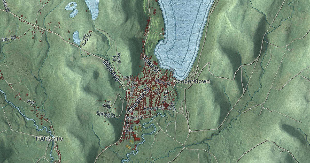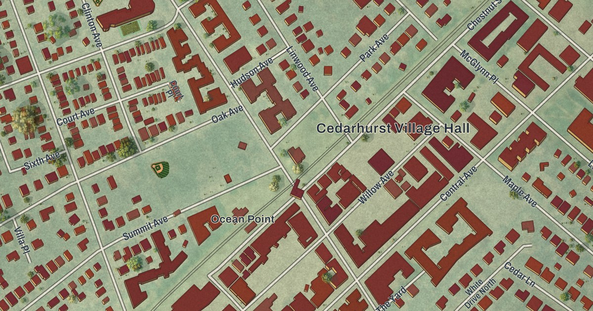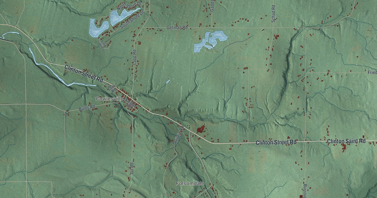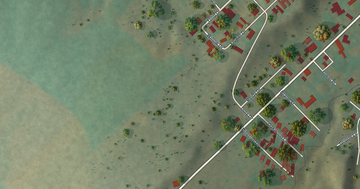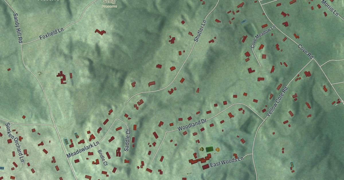
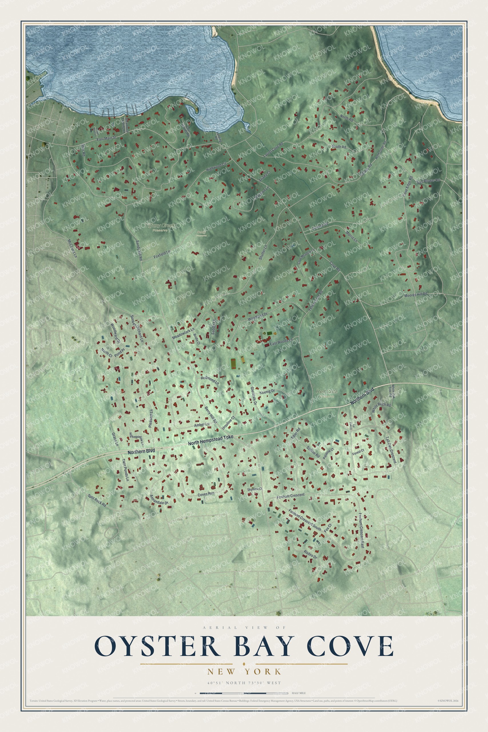
This beautifully detailed map of Oyster Bay Cove, New York was created in 2026 using aerial imagery combined with modern topographical, census, street and landmark data. It's a modern aerial view of Oyster Bay Cove in Nassau County, New York, that combines modern data with a vintage aesthetic. The roads feature printed names, and if you look closely you can find your exact house accurately shown in its correct location.
Explore an aerial view of Oyster Bay Cove, New York
On this map you'll find Red Cote Preserve, Tiffany Creek Preserve, Schiff Preserve, Northern Boulevard, North Hempstead Turnpike, Cove Road, Berry Hill Road, Cove Edge Road, Horn Blower Road, Foxhunt Crescent South, Foxhunt Crescent, Sandy Hill Road, and more. Each red shape is a building, so zoom in on the preview and look for yours.
Oyster Bay Cove is a village in Nassau County. The Census Bureau counted 2,265 people here in 2020. Oyster Bay Cove sits about 2 miles south of Cove Neck, 3 miles west of Cold Spring Harbor and 3 miles south of Centre Island. The map prints the town name in its title panel, with the coordinates below it.
Take a closer look at the Oyster Bay Cove map
Names on this map
These names are printed on this map.
Places: Red Cote Preserve, Tiffany Creek Preserve and Schiff Preserve.
Streets and roads: Northern Boulevard, North Hempstead Turnpike, Cove Road, Berry Hill Road, Cove Edge Road, Horn Blower Road, Foxhunt Crescent South, Foxhunt Crescent, Sandy Hill Road, Blair Road, Tall Oak Crescent, Yellow Cote Road.
More street names, A to Z
Amber Lane, Annandale Drive, Ariana Court, Bridle Court, Copper Beech Lane, Cove Meadow Lane, Coves Run, Cove Woods Road, East Main Street, East Woods Lane, Forest Court, Fox Court, Foxfield Lane, Foxhunt Crescent East, Glendale Drive, Grace Lane, Highmeadow Lane, Highwood Circle, Koenig Drive, Landing Road, Laurel Cove Road, McCouns Lane, Meadowlark Lane, Moores Hill Road, Morris Lane, North Court, North Road, Palatine Court, Pleasant Lane, Pond Place, Redmond Lane, Rodeo Drive, Royston Lane, Sabine Road, Saddle Court, Shutter Lane, Skyview Court, South Road, Split Rock Road, Steamboat Landing Road, Sunken Orchard Lane, Sunset Road, Tall Oaks Court, Tiber Road, Tiffany Road, Twin Ponds Lane, Ursuline Court, Weld Gilder Road, White Birch Road, White Oak Tree Road, Woodland Drive, Woodward Drive.
See it on a wall
The Oyster Bay Cove map as a framed print. Swipe for more.


Created by KNOWOL in 2026. The buildings are small red shapes, the roads carry their printed names, and shaded relief shows the shape of the land. The title panel reads "AERIAL VIEW OF OYSTER BAY COVE, NEW YORK" with 40°51' NORTH 73°30' WEST.
It looks right in a kitchen, an office or a den, and it's a gift for anyone who grew up in Oyster Bay Cove or moved away. Open the preview and find your street. See sizes and frames for the Oyster Bay Cove map.