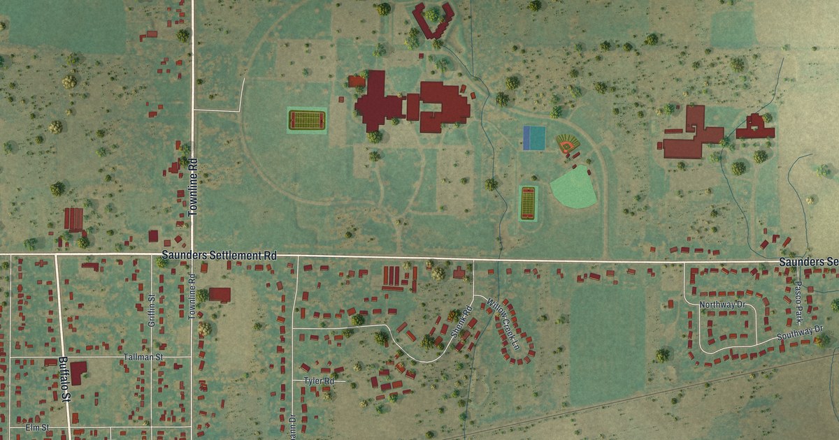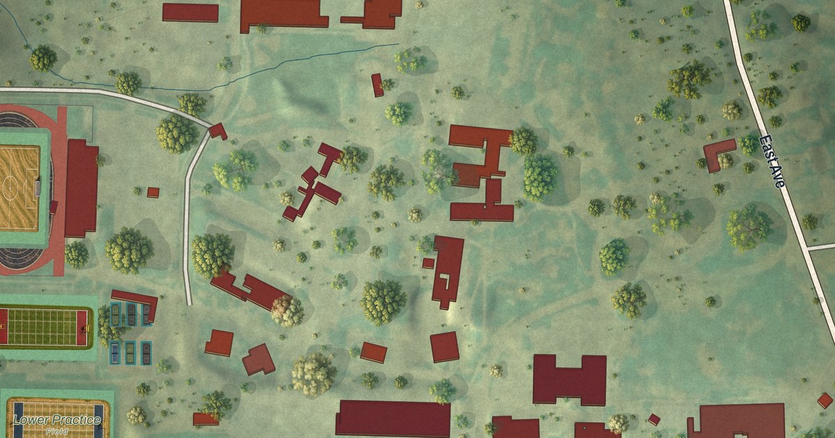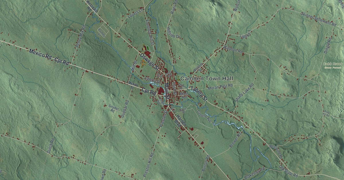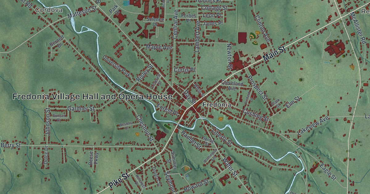
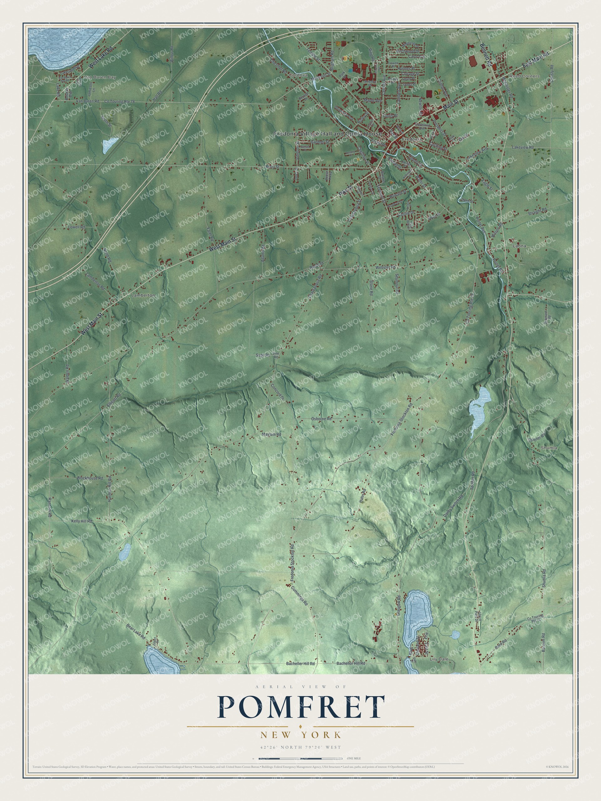
This beautifully detailed map of Pomfret, New York was created in 2026 using aerial imagery combined with modern topographical, census, street and landmark data. It’s a one-of-a-kind view of Pomfret that combines accurate data with a vintage aesthetic. The map shows every building in its true location, many of the roads carry their names, and the shaded topographic relief shows the shape of the land.
Explore an aerial view of Pomfret, New York
On the map you’ll find Fredonia Village Hall and Opera House, Van Buren Bay, Reed Corners, Lily Dale, Cordova, and Shumla, along with Main Street, Main Road, Pike Street, Lake Road, and more. If you look closely you can even find your house accurately drawn in its correct location. Zoom in on the preview to look for yours.
Did You Know?
Lily Dale, a hamlet in the town of Pomfret, began in 1879 as a camp for Spiritualists and Freethinkers. It grew into the largest center of the Spiritualist movement. The National Spiritualist Association of Churches keeps its headquarters there. About 22,000 people visit each year.
Take a closer look at the Pomfret map
Names on this map
These names are printed on this map.
Places: Fredonia Village Hall and Opera House, Van Buren Bay, Reed Corners, Lily Dale, Cordova, Shumla, Fredonia, Lamberton, Laona and University Park.
Streets and roads: Main Street, East Main Road, West Main Street, Pike Street, West Lake Road, Bennett Road, Temple Street, East Street, Water Street, Matteson Street, Chestnut Street, Lakeview Road.
More street names, A to Z
Academic Avenue, Adams Road, Bacheller Hill Road, Bachellor Hill Road, Bard Road, Barnum Road, Bear Lake Road, Bernett Drive, Berry Street, Birchwood Drive, Blockhouse Road, Boulevard, Brainard Road, Brigham Road, Carol Avenue, Casa Bella Drive, Castile Drive, Central Avenue, Chautauqua Road, Chautauqua Street, Chestnut Road, Christy Road, Clark Street, Cleveland Avenue, Clevland Street, Clinton Avenue, Concord Drive, Co Touring Route 72, Co Touring Route 73, Co Touring Route 78, Cottage Street, Cummings Road, Curtis Place, Cushing Street, Dale Drive, Darby Switch Road, Day Street, Dolce Drive, Douglas Street, Dunn Street, Eagle Street, Ellicott Road, Elm Street, Erie, Farel Road, Forbes Place, Forest Place, Fredonia-Stockton Road, Fredonia Stockton Road, Gardner Street, Gilbert Drive, Glasgow Road, Hahn Road, Hall Road, Hamlet Street, Harmon Hill Road, Hillcrest Drive, Holmes Place, Howard Street, James Place, Jamieson Lane, Johnson Street, Kelly Hill Road, Lake Road, Lakeside Boulevard, Lakeview Avenue, Lambert Avenue, Lamberton Road, Leon Place, Leverett Street, Liberty Street, Lowell Place, Lowell Road, Maple Avenue, Maytum Road, McAllister Road, Middlesex Drive, Newton Street, North Road, North Street, Orchard Street, Osborne Road, Park Drive, Porter Avenue, Porter Road, Prospect Street, Ransom Road, Reese Parkway, Ring Road, Risley Street, Rood Road, Rosalyn Court, Rotunda Boulevard, Ryan Place, Sage Road, Science Drive, Seymour Road, Seymour Street, Shumla Road, Skinner Road, South East Boulevard, Spoden Road, Spring Street, Stone Road, Straight Road, Summer Street, Sunset Drive, Ulrich Park Drive, Van Buren Bay Road, Van Buren Road, Vine Road, Walden Road, Washington Avenue, Webster Road, Westerly Drive, White Street, Wilbur Road, Wilson Road, Woodward Drive.
See it on a wall
The Pomfret map as a framed print. Swipe for more.


This beautifully detailed map of Pomfret makes an attractive addition to your office, library, or den, and it can even be used to teach children the geography and history of the area. It also makes a great gift for anyone with Pomfret roots. When you’re done exploring, click here to get your copy of the Pomfret map.