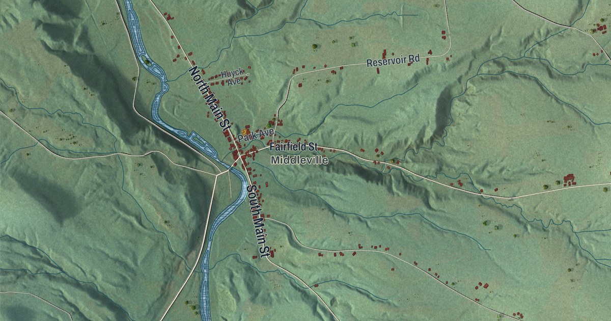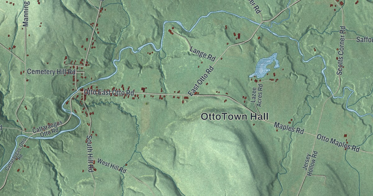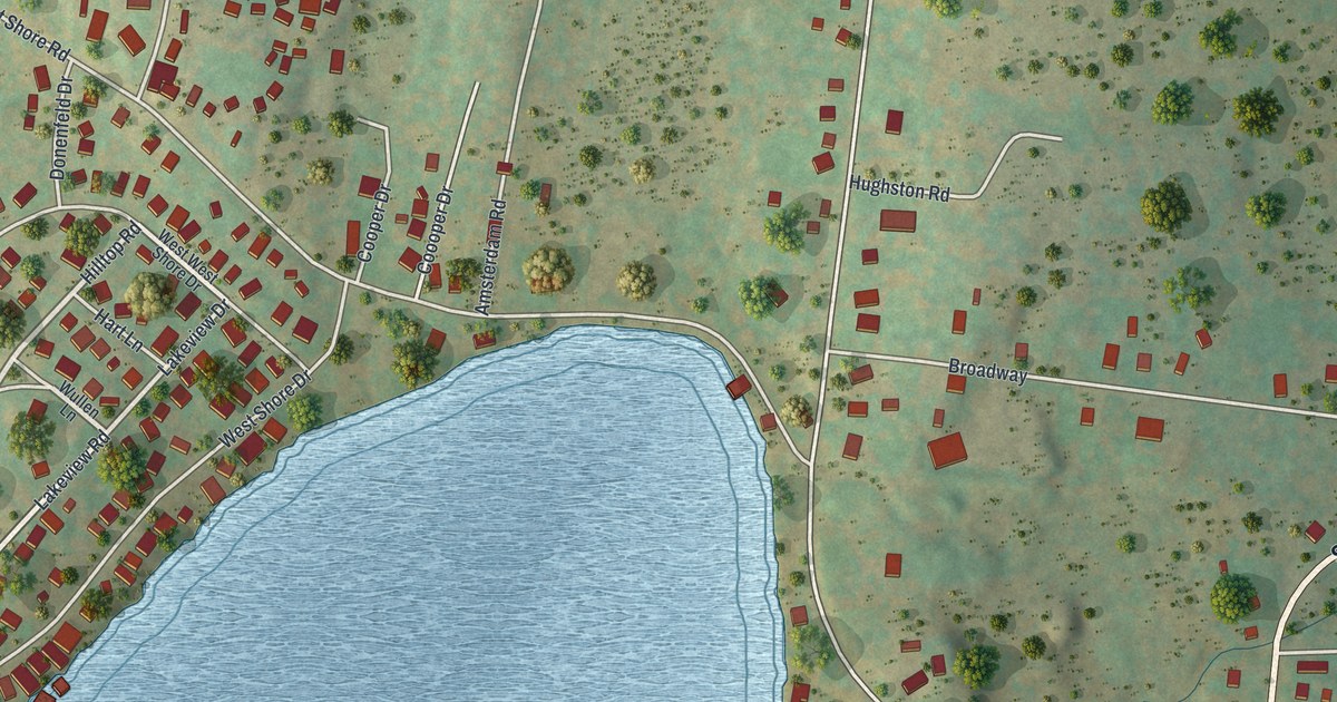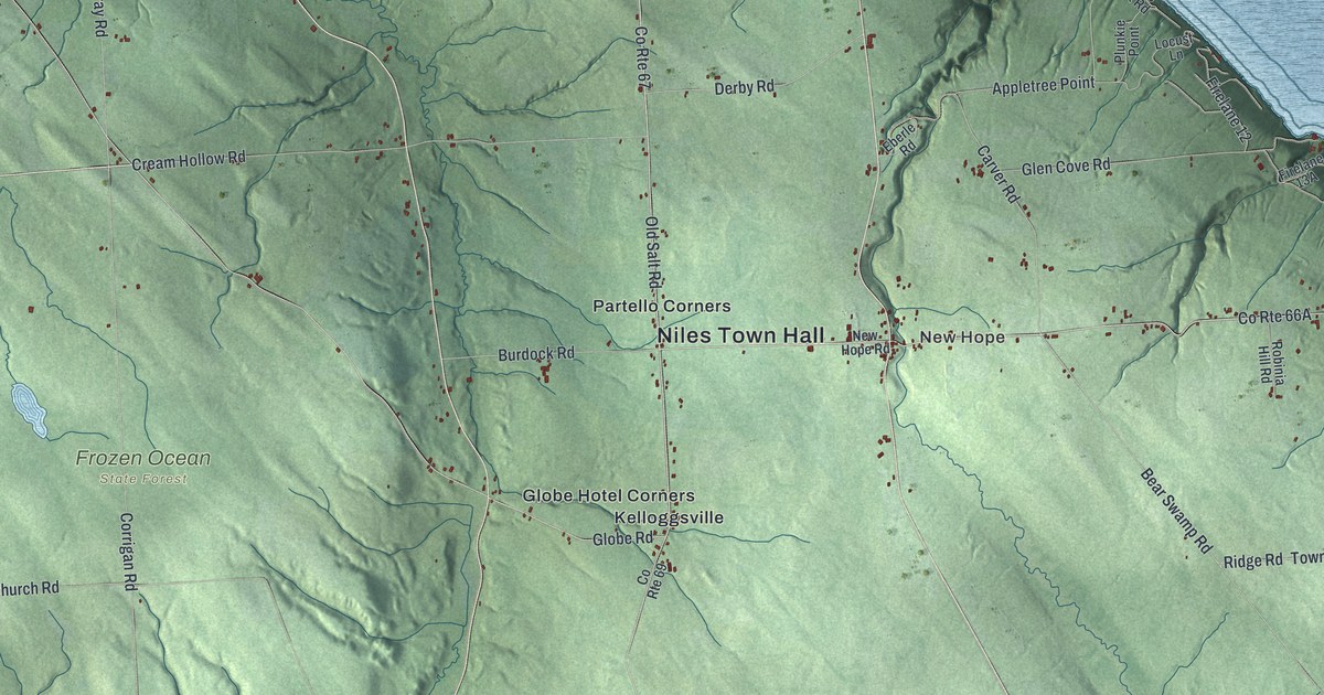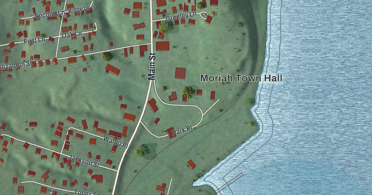
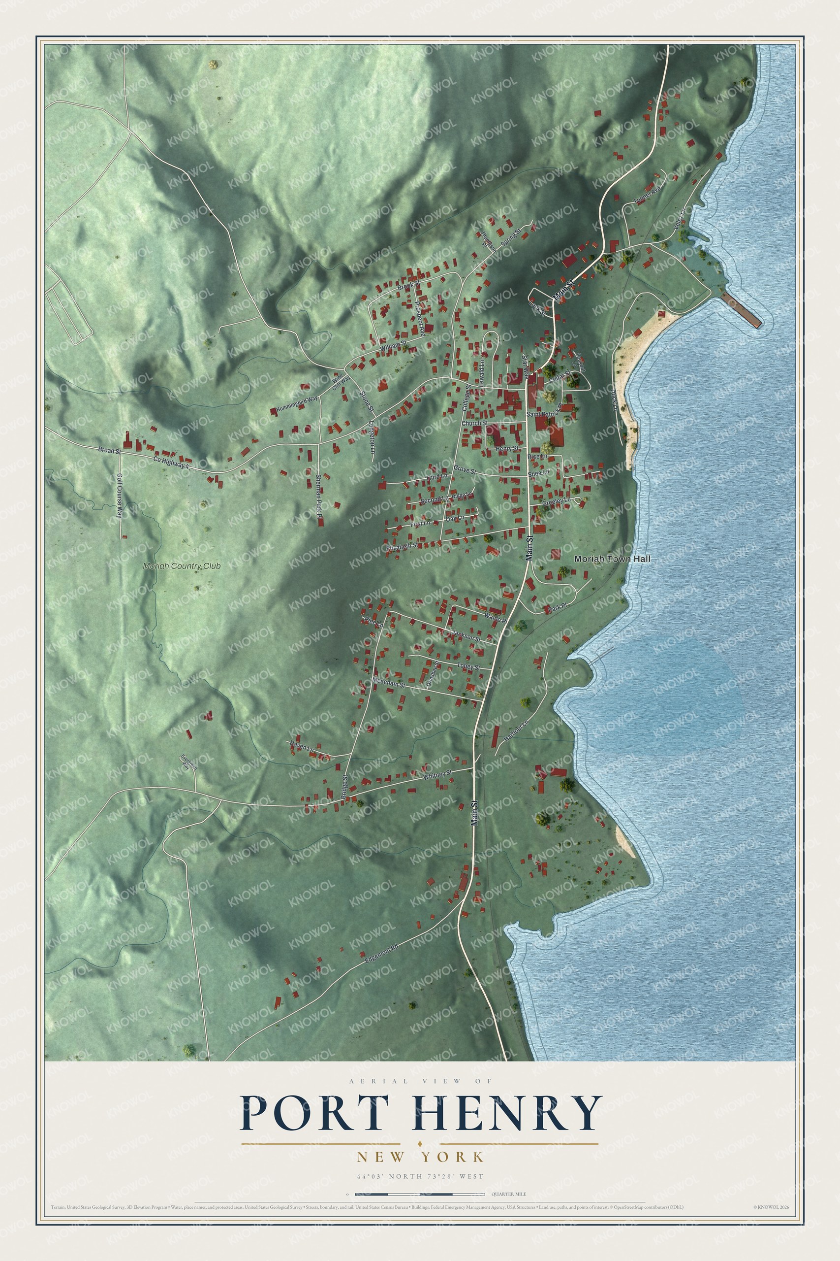
This beautifully detailed map of Port Henry, New York was created in 2026 using aerial imagery combined with modern topographical, census, street and landmark data. It’s a one-of-a-kind view of Port Henry that combines accurate data with a vintage aesthetic. The map shows every building in its true location, many of the roads carry their names, and the shaded topographic relief shows the shape of the land.
Explore an aerial view of Port Henry, New York
On the map you’ll find Moriah Town Hall, along with Main Street, Broad Street, Dock Lane, Whitney Street, and more. If you look closely you can even find your house accurately drawn in its correct location. Zoom in on the preview to look for yours.
Did You Know?
Early settlers found iron ore a few miles inland from Port Henry. Mining and processing that ore drove the local economy for about 150 years. A blast furnace built here in 1822 was one of the first in the country. Ore and iron went out by lake and river to Albany and New York City.
Take a closer look at the Port Henry map
Names on this map
These names are printed on this map.
Places: Moriah Town Hall and Moriah Country Club.
Streets and roads: Main Street, Broad Street, Dock Lane, Whitney Street, Edgemont Road, Spring Street, Bridge Street, Park Place, College Street, Brook Street, Elizabeth Street, County Highway 4.
More street names, A to Z
Cedar Street, Church Street, Evergreen Way, First Lane, Golf Course Way, Greeley Lane, Grove Street, Harbour Lane, Haven Lane, Henry Street, Hummingbird Way, Jackson Street, Ledgetop Lane, Lewald Lane, Lock Street, Lookout Lane, Meacham Street, Oak Lane, Ormsbee Street, Pine Lane, Prospect Avenue, Rice Lane, Ridge Lane, Saint Patrick Place, Second Lane, Shea Lane, Sherman Park Place, Star Way, Stone Street, Third Lane, Thompson Place, Tobey Street, Tunnel Avenue, Velez Lane, Waldo Place, William Street, Wine Cliff Way.
See it on a wall
The Port Henry map as a framed print. Swipe for more.


This beautifully detailed map of Port Henry makes an attractive addition to your office, library, or den, and it can even be used to teach children the geography and history of the area. It also makes a great gift for anyone with Port Henry roots. When you’re done exploring, click here to get your copy of the Port Henry map.