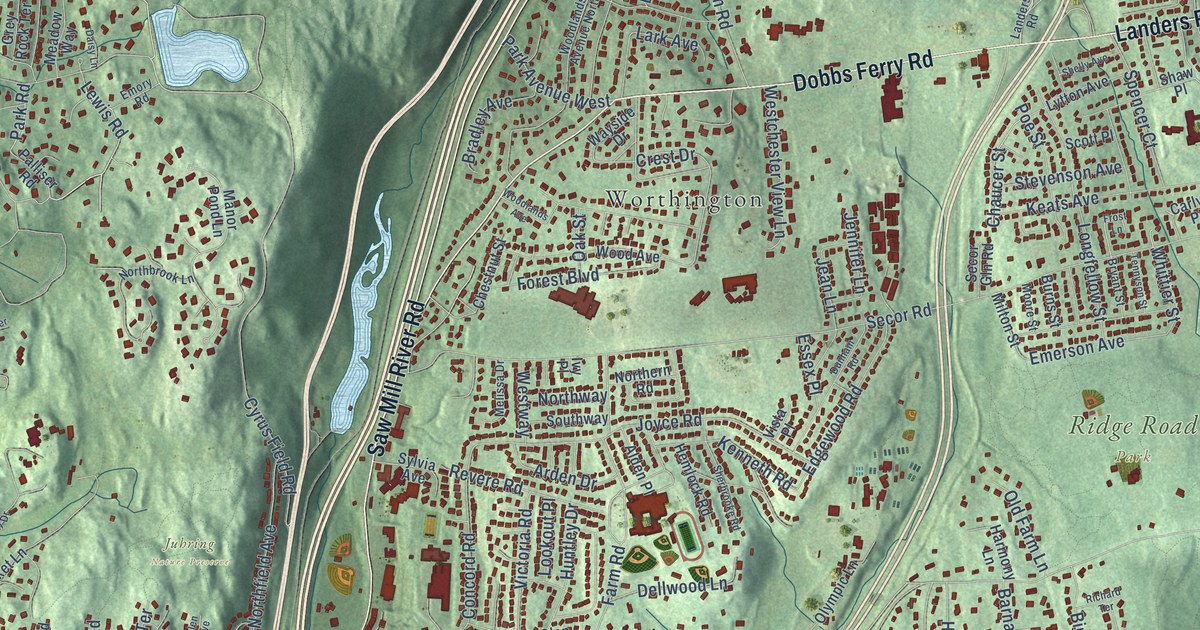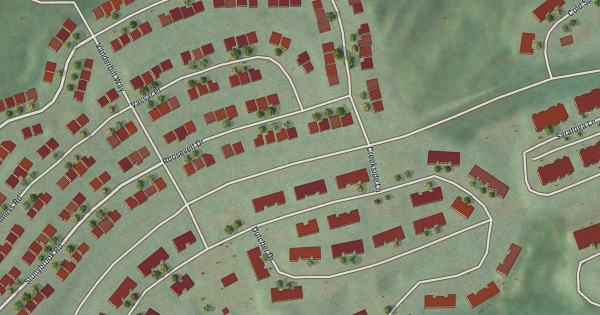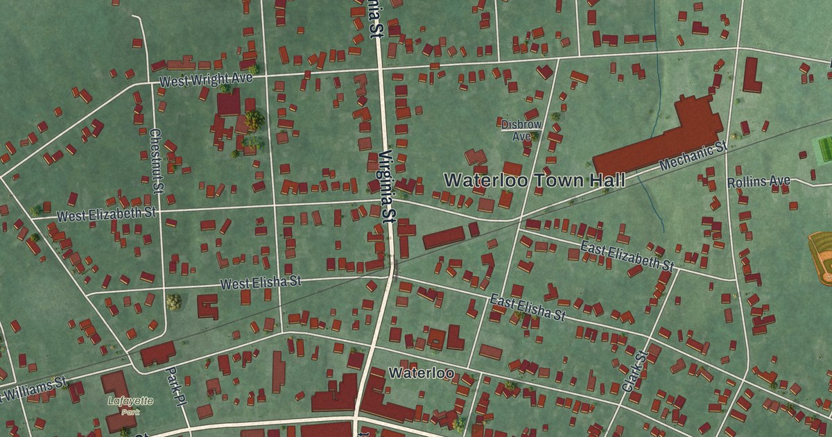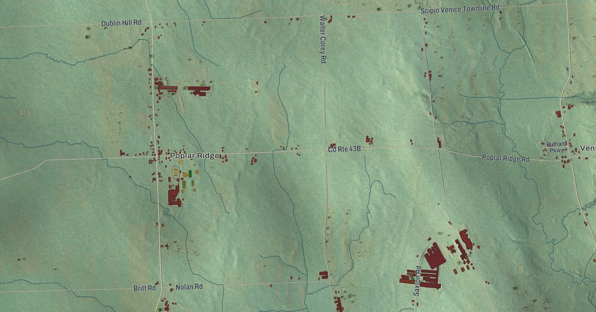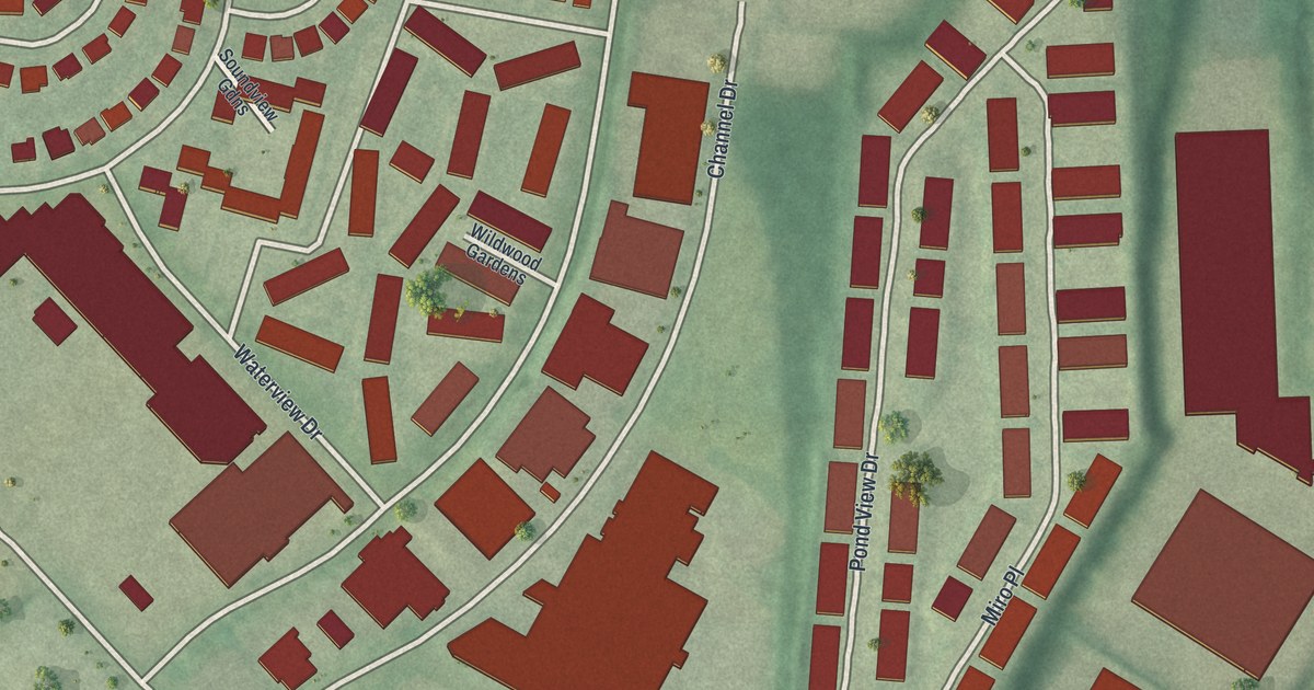
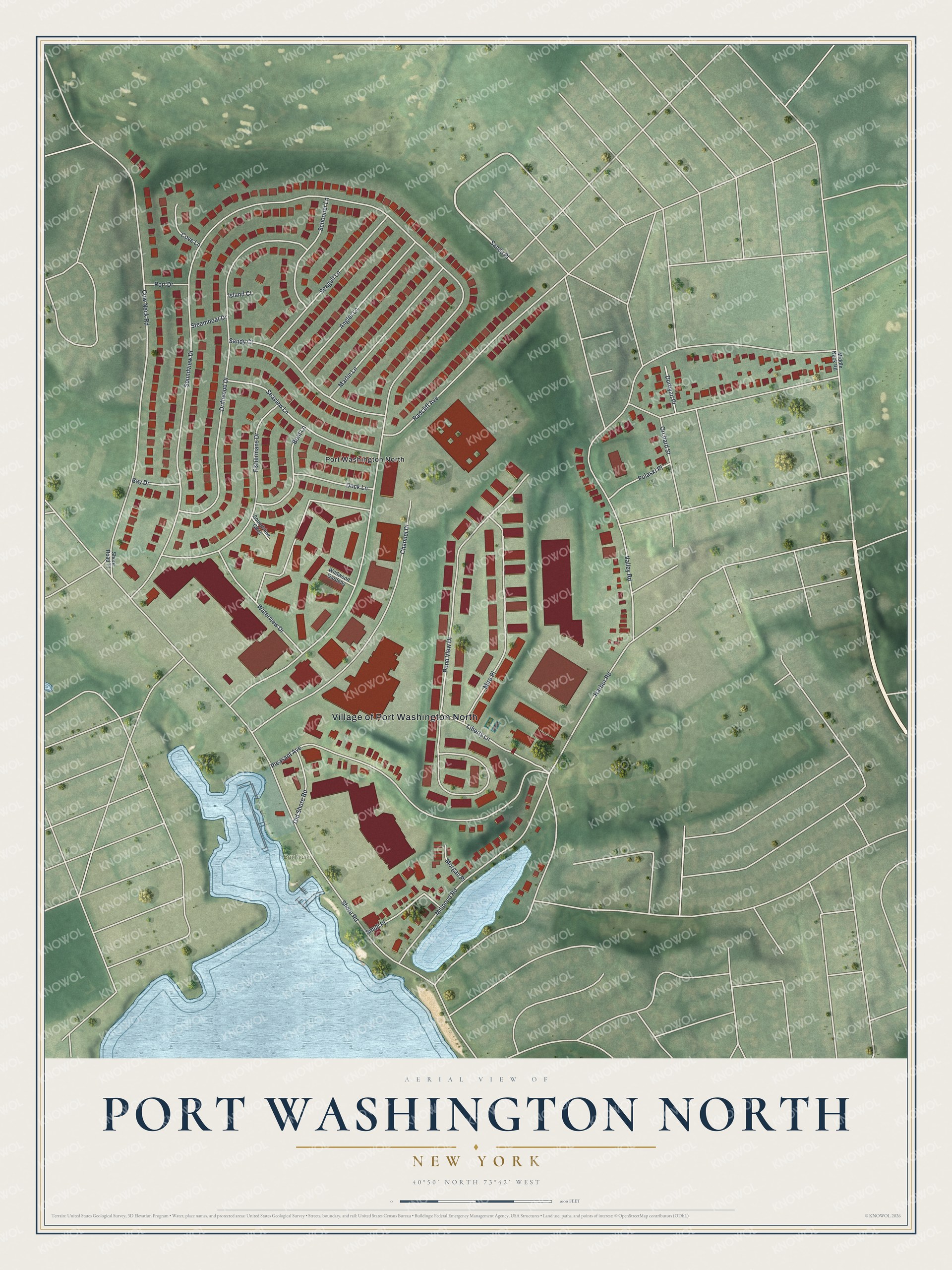
This beautifully detailed map of Port Washington North, New York was created in 2026 using aerial imagery combined with modern topographical, census, street and landmark data. It’s a one-of-a-kind view of Port Washington North that combines accurate data with a vintage aesthetic. The map shows every building in its true location, many of the roads carry their names, and the shaded topographic relief shows the shape of the land.
Explore an aerial view of Port Washington North, New York
On the map you’ll find Sands Place and Bay Walk Park, along with Soundview Drive, Pond View Drive, Cow Neck Road, Harbor Road, and more. If you look closely you can even find your house accurately drawn in its correct location. Zoom in on the preview to look for yours.
Did You Know?
In 1931 the neighboring village of Manorhaven tried to annex this area. The bid failed over legal disputes, and residents wanted a village of their own. They voted unanimously to incorporate on May 16, 1932. John Cocks led the movement and became the first mayor. It became the youngest village in North Hempstead.
Take a closer look at the Port Washington North map
Names on this map
These names are printed on this map.
Places: Village of Port Washington North, Bay Walk Park and Port Washington North.
Streets and roads: Sands Place, Soundview Drive, Pond View Drive, Cow Neck Road, Harbor Road, Shore Road, Driftwood Drive, Pleasant Avenue, Channel Drive, Millpond Road, Fishermans Drive, Miro Place.
More street names, A to Z
Angler Lane, Bay Drive, Boat Lane, Cove Lane, Dock Lane, Durbyan Place, Island Court, Liberty Lane, Marlin Lane, Middle Neck Road, Morgan Place, Old Shore Road, Orchard Street, Port Drive, Pulaski Place, Radcliff Avenue, Sandy Court, Schooner Lane, Seagull Lane, Seaview Lane, Shore Road Tl, Smull Place, Soundview Gdns, Steamboat Drive, Valley Road, Waterview Drive, Wildwood Gardens.
See it on a wall
The Port Washington North map as a framed print. Swipe for more.


This beautifully detailed map of Port Washington North makes an attractive addition to your office, library, or den, and it can even be used to teach children the geography and history of the area. It also makes a great gift for anyone who grew up in Port Washington North or moved away. When you’re done exploring, click here to get your copy of the Port Washington North map.