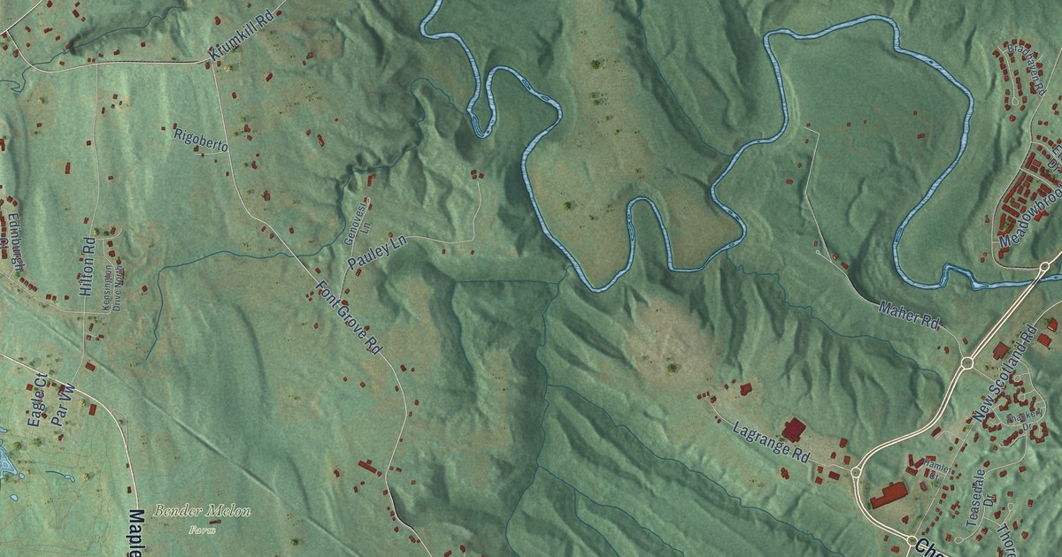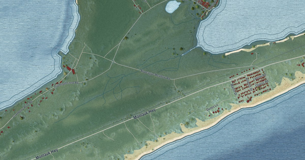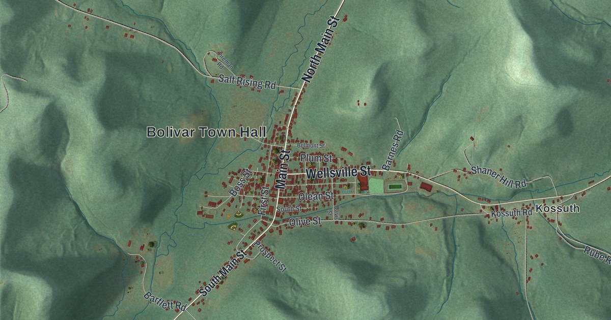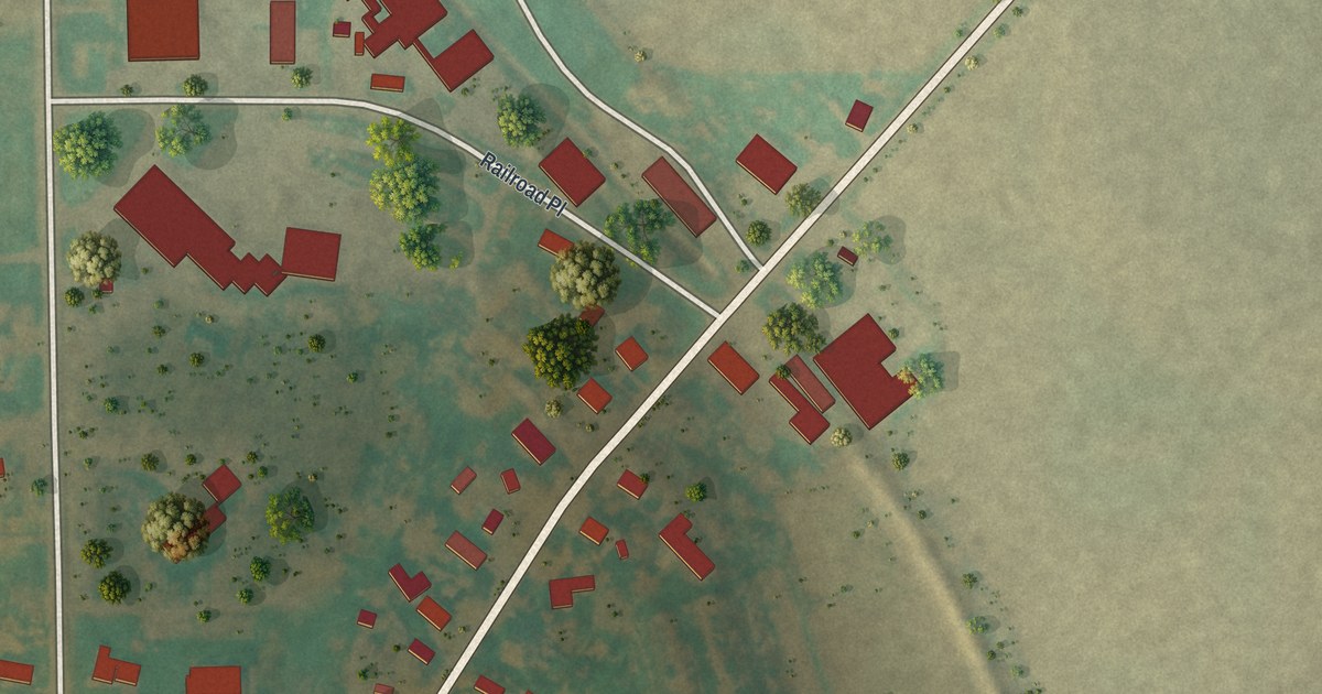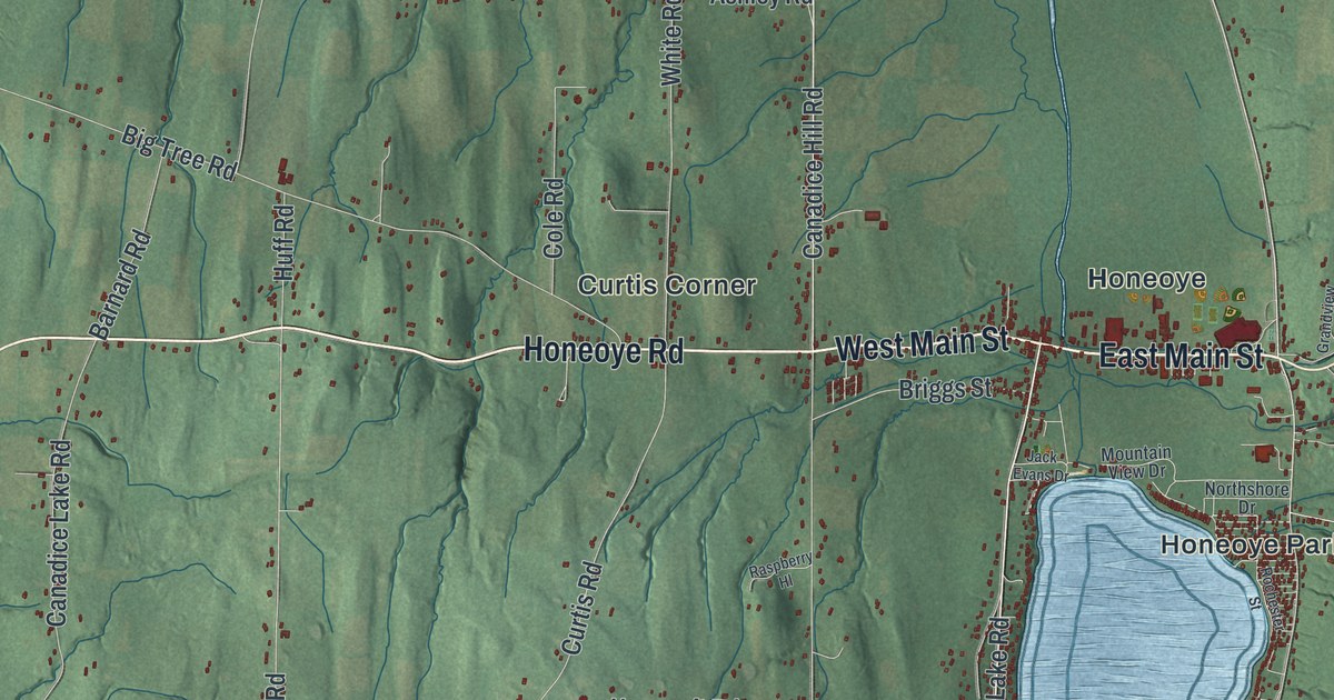
This beautifully detailed map of Richmond, New York was created in 2026 using aerial imagery combined with modern topographical, census, street and landmark data. It’s a one-of-a-kind view of Richmond that combines accurate data with a vintage aesthetic. The map shows every building in its true location, many of the roads carry their names, and the shaded topographic relief shows the shape of the land.
Explore an aerial view of Richmond, New York
On the map you’ll find Denison Corner, Frost Hollow, Allens Hill, Richmond Center, and Curtis Corner, along with Honeoye Road, Main Street, Lake Road, Allens Hill Road, Richmond Mills Road, and more. If you look closely you can even find your house accurately drawn in its correct location. Zoom in on the preview to look for yours.
Did You Know?
The town was created in 1796 as Pittstown, honoring Captain Peter Pitts. It was renamed Honeoye in 1808. In 1815 it took the name Richmond, after his wife, Abigail Richmond Pitts. She is remembered as the town’s founding mother.
Take a closer look at the Richmond map
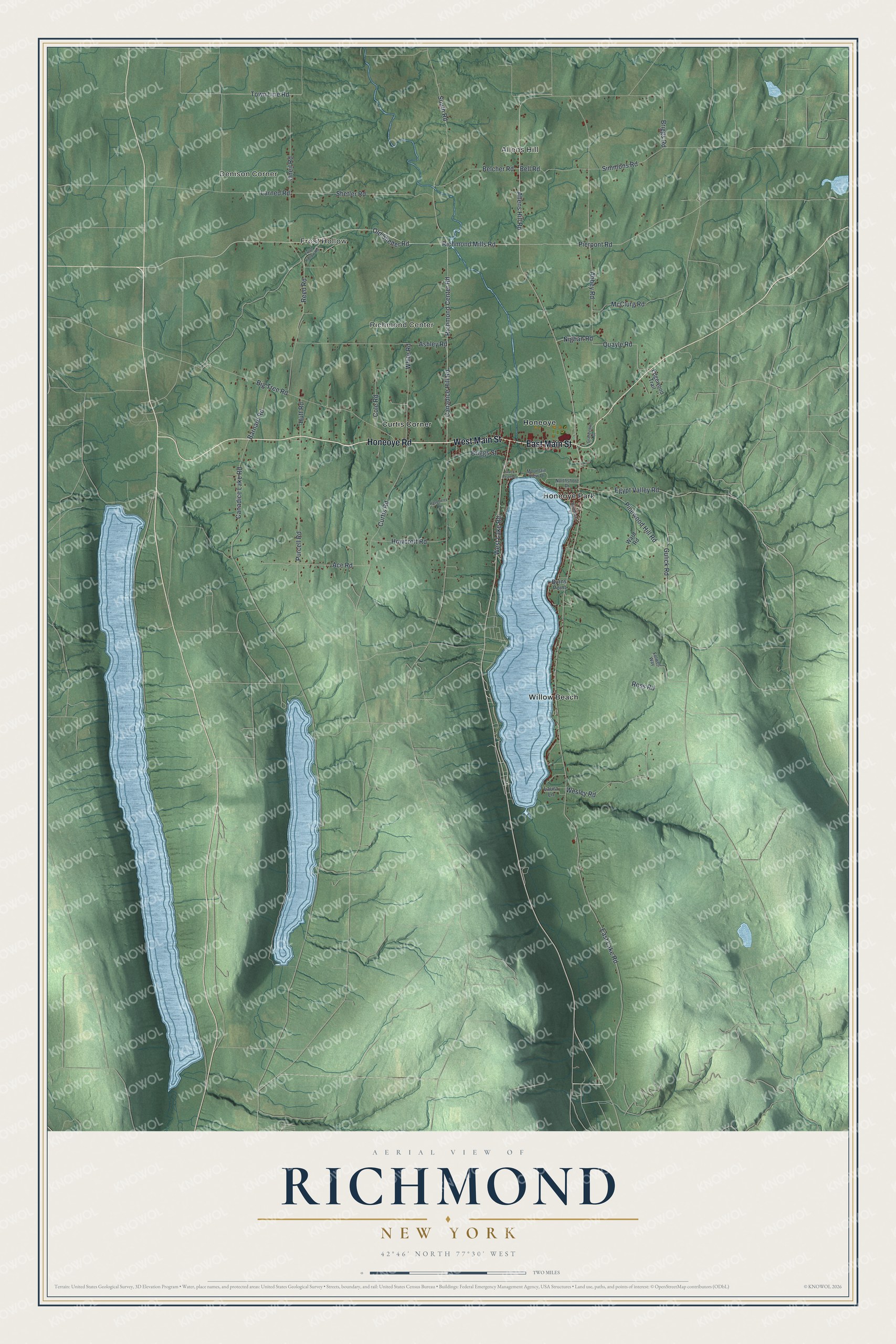
Names on this map
These names are printed on this map.
Places: Denison Corner, Frost Hollow, Allens Hill, Richmond Center, Curtis Corner, Honeoye, Honeoye Park and Willow Beach.
Streets and roads: Honeoye Road, East Main Street, West Main Street, West Lake Road, Allens Hill Road, Richmond Mills Road, Canadice Hill Road, Pierpont Road, Richmond Center Road, Purcell Road, Simmons Road, East Lake Road.
More street names, A to Z
Abbey Road, Ace Road, Ashley Road, Barnard Road, Belcher Road, Bell Road, Big Tree Road, Briggs Road, Briggs Street, Burns Point, Canadice Lake Road, Cole Road, Curtis Road, Edgewood Trail, Egypt Valley Road, Folwell Way, Frost Hollow Road, Grandview Drive, Gulick Road, Howcroft Road, Huff Road, Jack Evans Drive, Larned Road, Laura Lane, McClurg Road, Mountain View Drive, Nighan Road, Northshore Drive, Old Shelter Road, Oneil Road, Pinewood Hill Road, Quayle Road, Raspberry Hl, Reed Road, Rochester Street, Ross Road, Shetler Road, South Road, Town Line Road, Ward Road, Wesley Road, White Road.
See it on a wall
The Richmond map as a framed print. Swipe for more.


This beautifully detailed map of Richmond makes an attractive addition to your office, library, or den, and it can even be used to teach children the geography and history of the area. It also makes a great gift for anyone who grew up in Richmond or moved away. When you’re done exploring, click here to get your copy of the Richmond map.