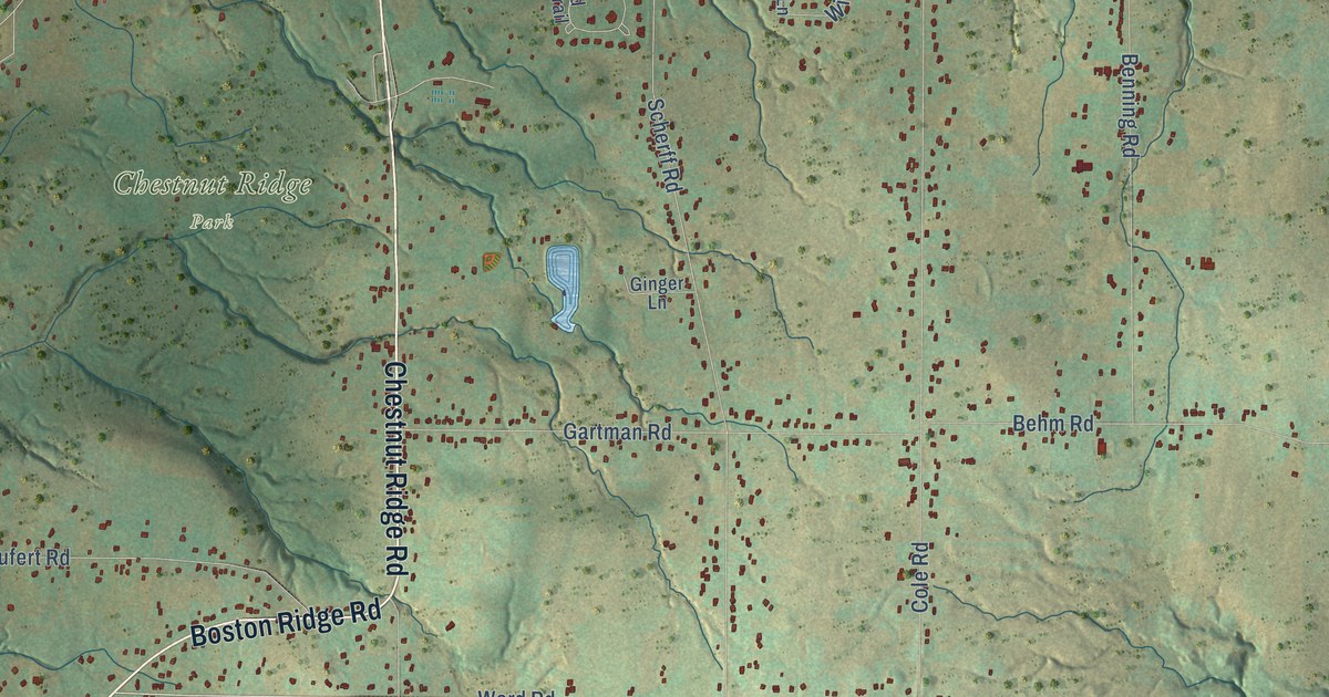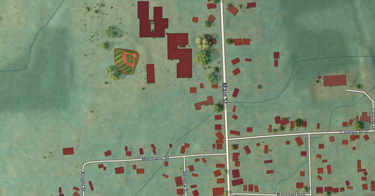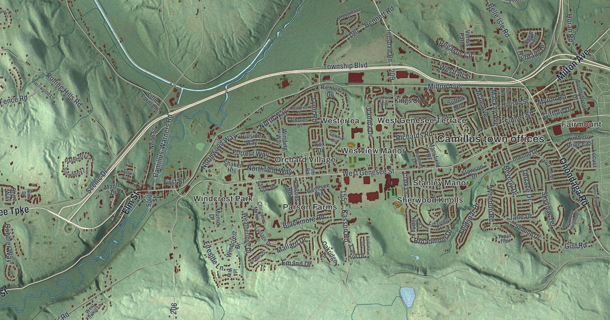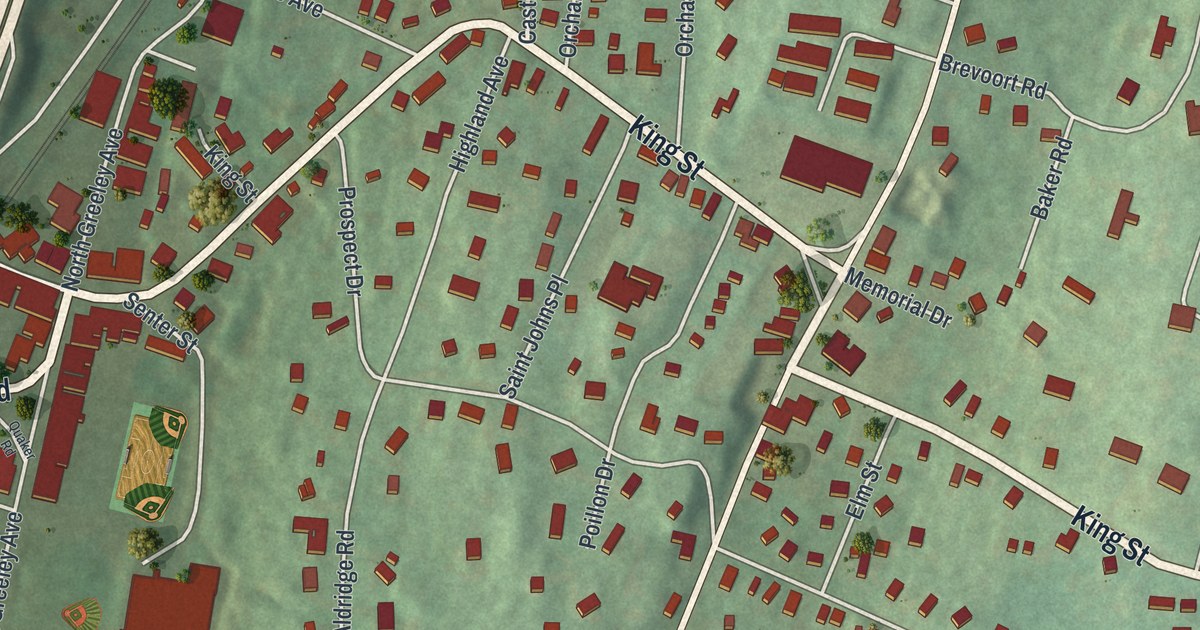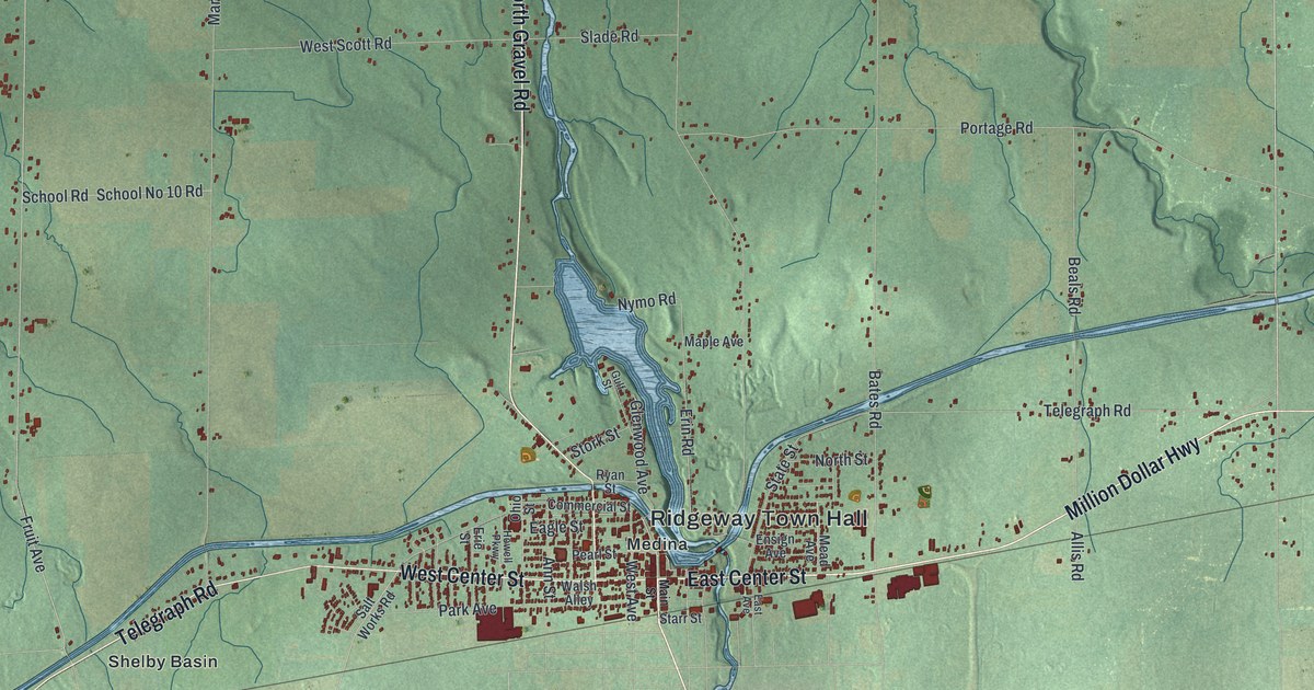
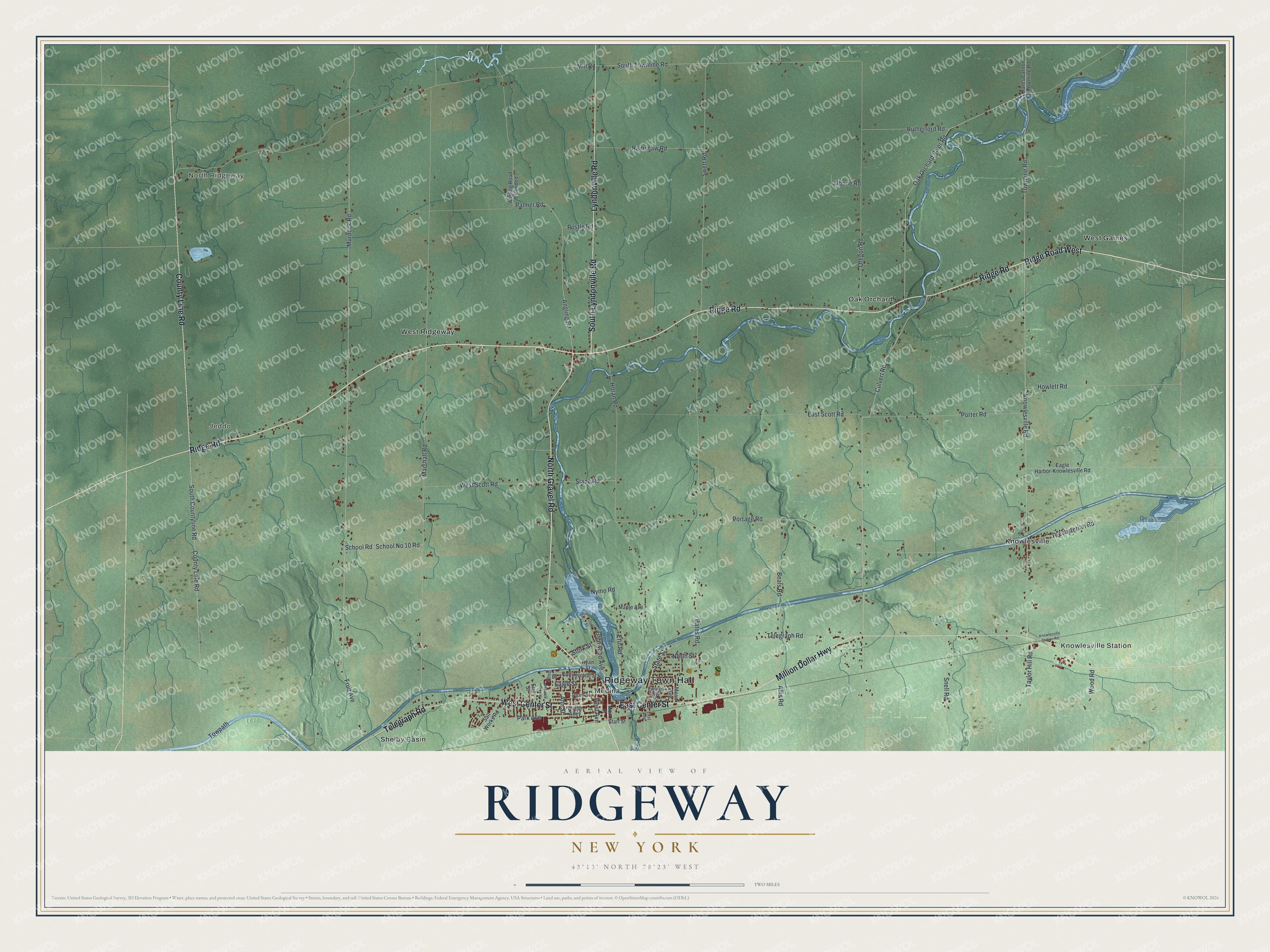
This beautifully detailed map of Ridgeway, New York was created in 2026 using aerial imagery combined with modern topographical, census, street and landmark data. It’s a one-of-a-kind view of Ridgeway that combines accurate data with a vintage aesthetic. The map shows every building in its true location, many of the roads carry their names, and the shaded topographic relief shows the shape of the land.
Explore an aerial view of Ridgeway, New York
On the map you’ll find Ridgeway Town Hall, North Ridgeway, Knowlesville Station, Jeddo, Knowlesville, and Medina, along with Center Street, Ridge Road, Million Dollar Highway, Gravel Road, and more. If you look closely you can even find your house accurately drawn in its correct location. Zoom in on the preview to look for yours.
Did You Know?
Ridgeway took its name from Ridge Road, a major highway in the 1800s. Settlers from New England and eastern New York arrived after the Seneca gave up the land in 1797. The town was formed from Batavia in 1812, during the War of 1812.
Take a closer look at the Ridgeway map
Names on this map
These names are printed on this map.
Places: Ridgeway Town Hall, North Ridgeway, Knowlesville Station, Jeddo, Knowlesville, Medina, Oak Orchard, Shelby Basin, West Gaines and West Ridgeway.
Streets and roads: East Center Street, Ridge Road, Ridge Road West, Million Dollar Highway, North Gravel Road, West Center Street, County Line Road, Lyndonville Road, South Lyndonville Road, Telegraph Road, Angling Road, Palmer Road.
More street names, A to Z
Albone Road, Allis Road, Angling Road Extended, Ann Street, Bates Road, Beals Road, Commercial Street, Culvert Road, Eagle Harbor-Knowlesville Road, Eagle Street, East Avenue, East Scott Road, Ensign Avenue, Erie Street, Erin Road, Fruit Avenue, Glenwood Avenue, Gulf Street, Horan Road, Howell Parkway, Howlett Road, Knowlesville Road, Knowlesville Station Road, Main Street, Maple Avenue, Marshall Road, Mead Avenue, Mill Road, Murdock Road, North Street, Nymo Road, Oak Orchard River Road, Ohio Street, Oregon Road, Park Avenue, Pearl Street, Portage Road, Porter Road, Postle Road, Presbyterian Road, Ramshaw Road, Rutherford Road, Ryan Street, Salt Works Road, School No 10 Road, School Road, Slade Road, Snell Road, South Countyline Road, South Townline Road, Starr Street, State Street, Stork Street, Swett Road, Taylor Hill Road, Townline Road, Towpath, Walsh Alley, West Avenue, West Scott Road, Wood Road, Yates Carlton Townline Road.
See it on a wall
The Ridgeway map as a framed print. Swipe for more.


This beautifully detailed map of Ridgeway makes an attractive addition to your office, library, or den, and it can even be used to teach children the geography and history of the area. It also makes a great gift for anyone who grew up in Ridgeway or moved away. When you’re done exploring, click here to get your copy of the Ridgeway map.