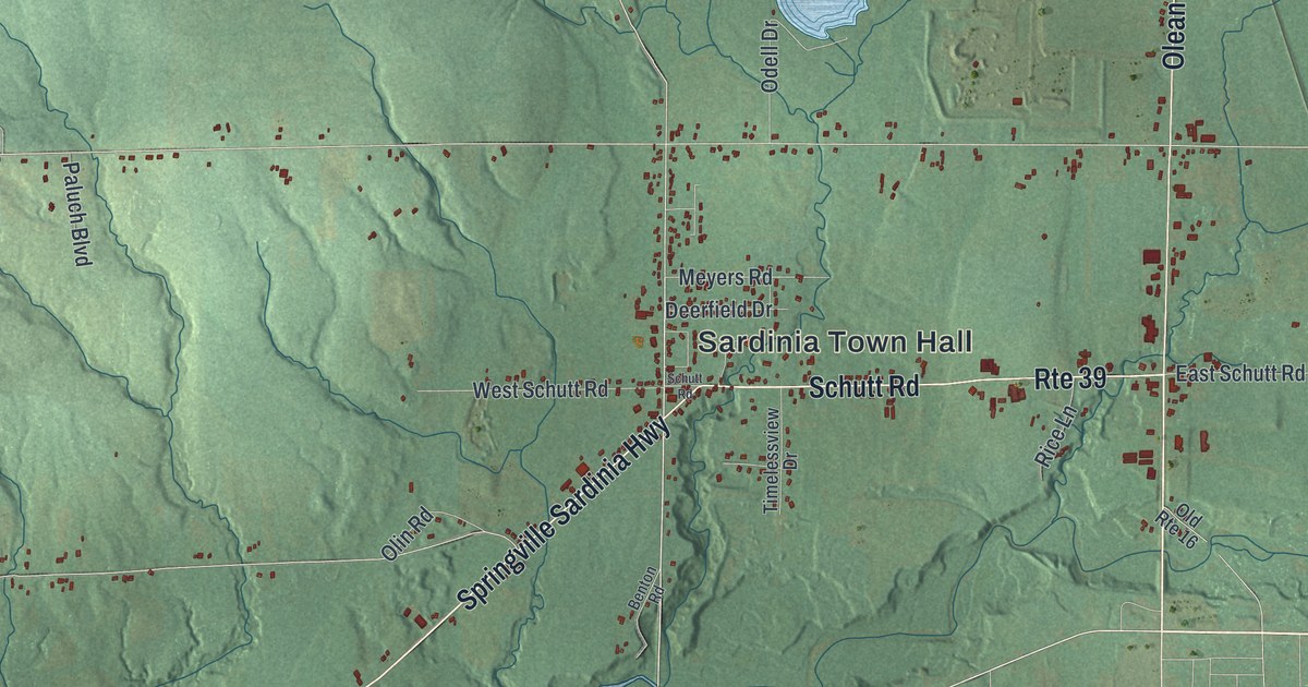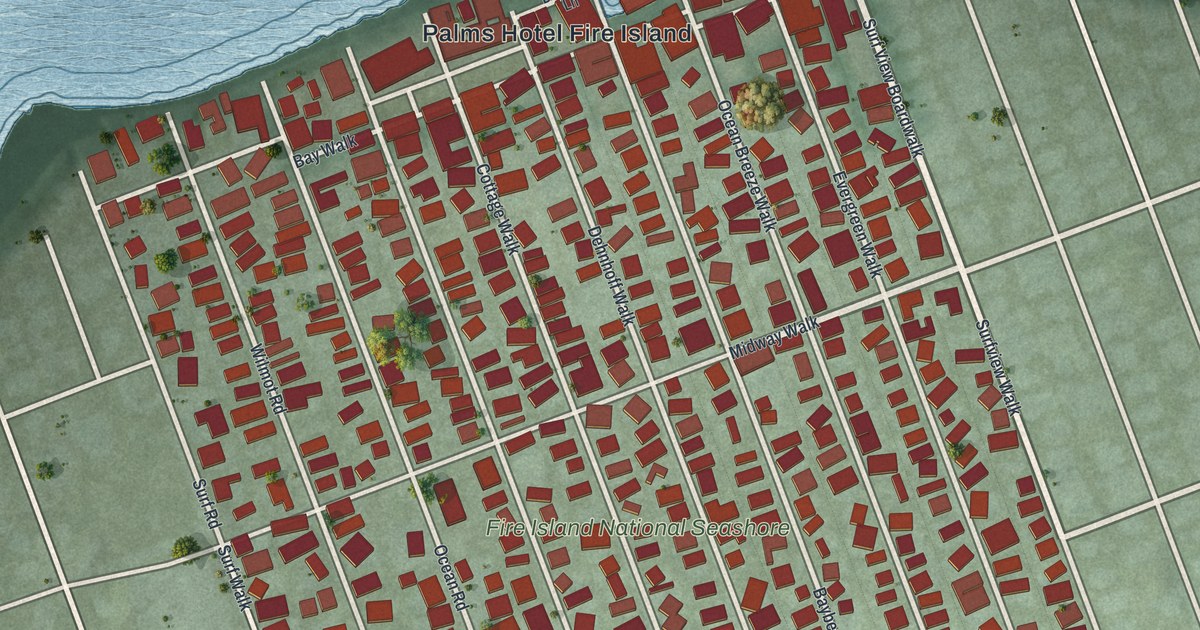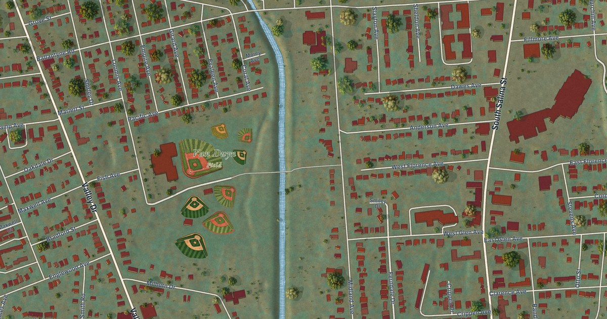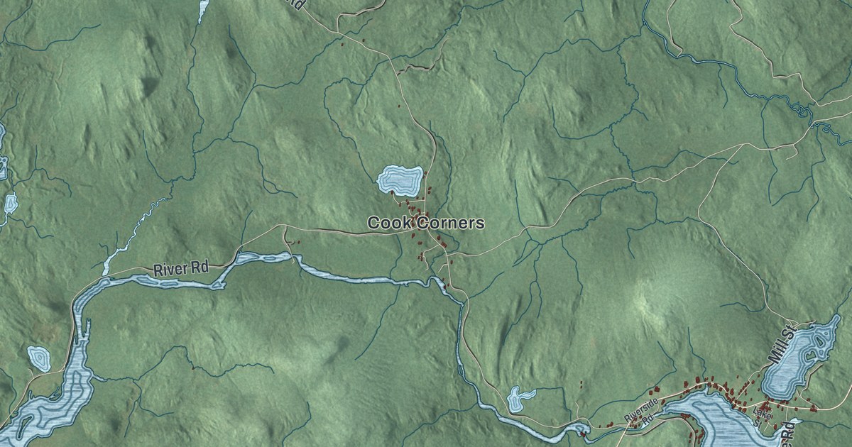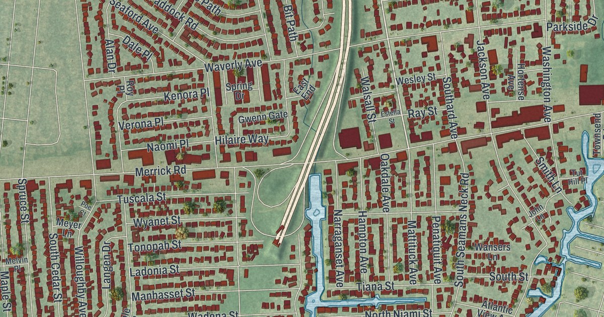
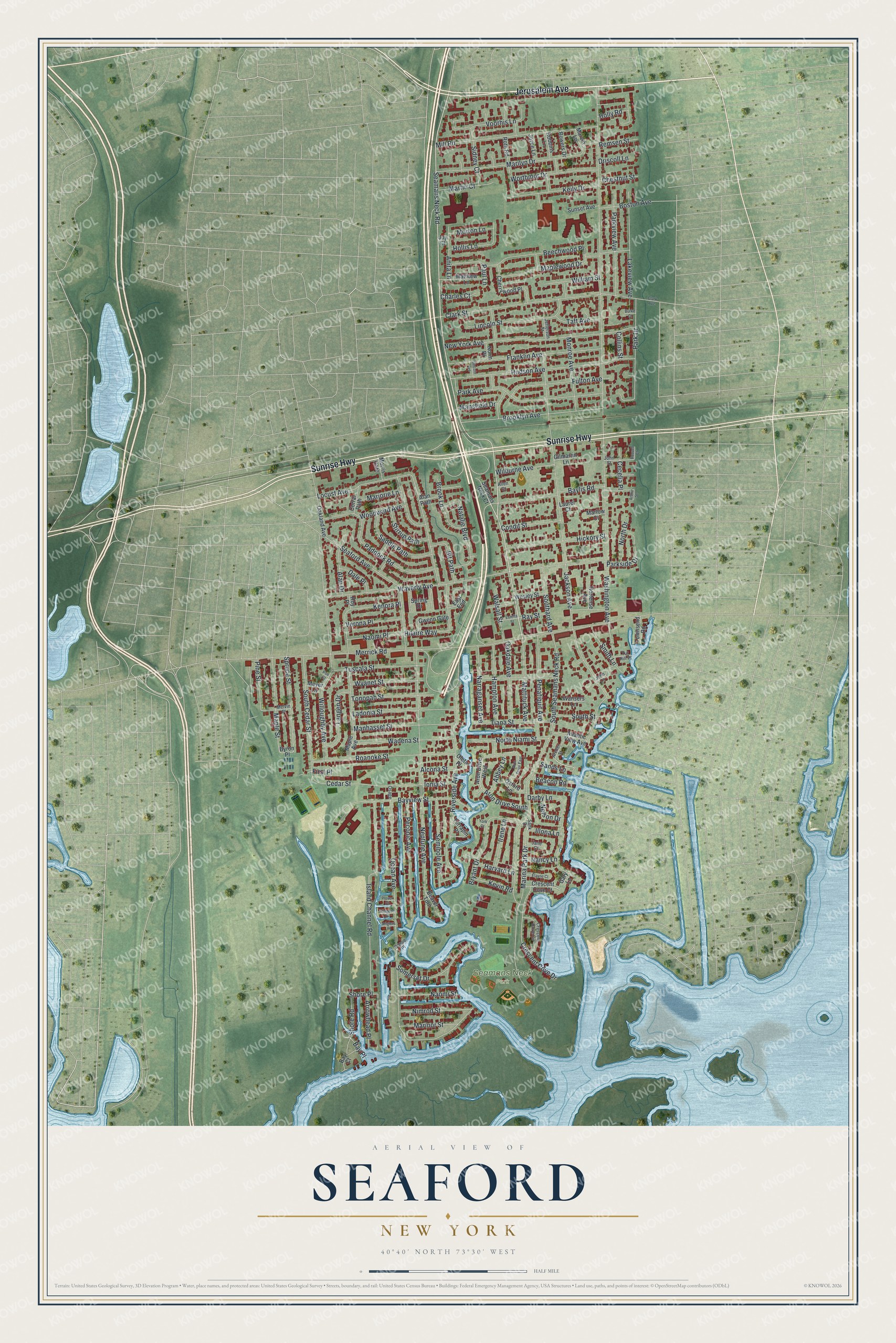
This beautifully detailed map of Seaford, New York was created in 2026 using aerial imagery combined with modern topographical, census, street and landmark data. It’s a one-of-a-kind view of Seaford that combines accurate data with a vintage aesthetic. The map shows every building in its true location, many of the roads carry their names, and the shaded topographic relief shows the shape of the land.
Explore an aerial view of Seaford, New York
On the map you’ll find Seamans Neck Park, along with Jerusalem Avenue, Sunrise Highway, Seamans Neck Road, Washington Avenue, Jackson Avenue, and more. If you look closely you can even find your house accurately drawn in its correct location. Zoom in on the preview to look for yours.
Did You Know?
Captain John Seaman led the first European settlement here. He came from Seaford in East Sussex, England. The community was first called Jerusalem South, and also Seaman’s Neck. In 1868 it was renamed Seaford to honor his English hometown.
Take a closer look at the Seaford map
Names on this map
These names are printed on this map.
Places: Seamans Neck Park.
Streets and roads: Jerusalem Avenue, Sunrise Highway, Seamans Neck Road, Washington Avenue, Jackson Avenue, Merrick Road, Ocean Avenue, South Seamans Neck Road, Waverly Avenue, Neptune Avenue, Island Channel Road, Willoughby Avenue.
More street names, A to Z
Abbey Lane, Alan Drive, Alan Path, Alcona Street, Allen Court, Anglers Place, Anita Lane, Archer Street, Aron Drive East, Aron Drive South, Aron Drive West, Arrowhead Place, Arthur Street, Atlantic View Avenue, Bay Court, Baylis Road, Bay Place, Bayview Street, Beacon Road, Beaver Turn, Beechwood Place, Bit Path, Boston Avenue, Bowers Drive, Brook Lane, Brooklyn Avenue, Bryant Drive, Burke Court, Byron Place, Canoe Place, Cecelia Place, Cedar Street, Charles Court, Cherrywood Place, Chestnut Street, Clark Avenue, Clark Street, Collins Street, Condit Street, Corral Path, Crescent Cove Circle, Crescent Cove Court, Crescent Cove Drive, Dale Place, Darby Lane, Driscoll Lane, East End, Elayne Court, Estella Street, First Place, Franklin Avenue, Fulton Avenue, Gary Lane, Gilmartin Lane, Gwenn Gate, Hampton Avenue, Harvard Lane, Hickory Street, Hilaire Way, Hollis Lane, Holly Road, Hortense Avenue, Hudson Avenue, Illona Lane, Ionia Street, Irene Lane, Jane Court, Jefferson Street, John Lane, John Street, Joyce Lane, Joy Court, Keily Drive, Kenora Place, Kevin Road, Ladonia Street, Lakeview Avenue, Langen Drive, Laurel Court, Lincoln Avenue, Lincoln Street, Locust Avenue, Manhasset Street, Mansfield Drive, Maple Avenue, Maple Street, Maplewood Drive, Marilyn Drive, Marina Park Drive, Marinor Street, Marjorie Lane, Marlow Court, Martin Court, Marvin Lane, Matthew Lane, Mattituck Avenue, Melvin Place, Meyer Lane, Mill Road, Monroe Avenue, Morris Gate, Morton Lane, Nancy Lane, Naomi Place, Naomi Street, Narraganset Avenue, Natalie Boulevard, Nelson Drive, New York Avenue, Nimrod Street, Norm Place, North Drive, North Niami Street, Oakdale Avenue, Oakland Avenue, Oleta Place, Osage, Oxford Lane, Paddock Road, Park Avenue, Park Drive, Parkside Drive, Parkview Avenue, Paul Lane, Peconic Avenue, Penatiquit Avenue, Pine Street, Plover Place, Poe Court, Ray Street, Remsen Street, Riverside Avenue, Roanoke Street, Robbins Lane, Roth Road, Roy Place, Russell Court, Saddle Path, Sands Lane, Sank Drive, Seaford Avenue, Seamans Neck Court, Seminole Avenue, Shore Place, Shore Road, Sidney Court, Smith Lane, Somerset Drive, Southard Avenue, South Cedar Street, South Street, Spring Drive, Spruce Street, Stirrup Path, Sunset Avenue, Taft Avenue, Terrapin Place, Tiana Street, Tonopah Street, Townsend Road, Tuscala Street, Tut Hill Place, Verona Place, Voorhis Lane, Wadena Street, Walsall Street, Wansers Lane, Wesley Street, Widgeon Place, Wilburne Avenue, William Street, Woodward Avenue, Worthmor Drive, Wyanet Street, York Court.
See it on a wall
The Seaford map as a framed print. Swipe for more.


This beautifully detailed map of Seaford makes an attractive addition to your office, library, or den, and it can even be used to teach children the geography and history of the area. It also makes a great gift for anyone who grew up in Seaford or moved away. When you’re done exploring, click here to get your copy of the Seaford map.