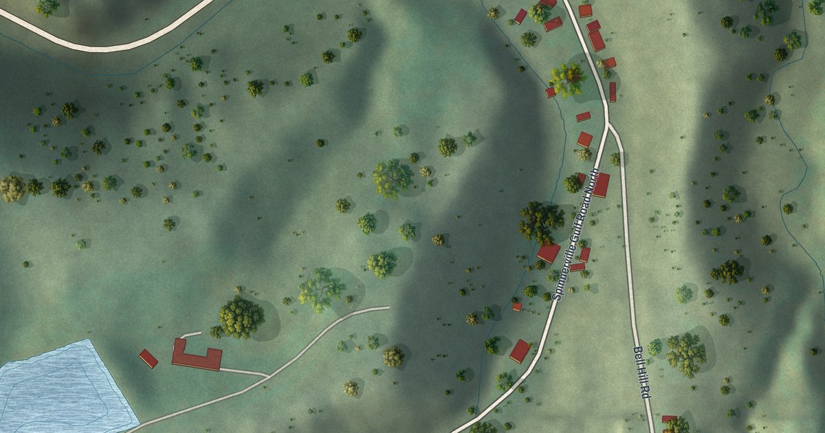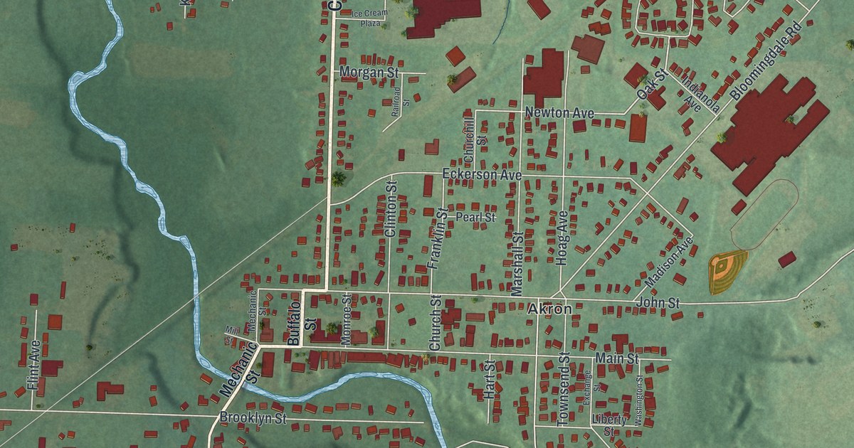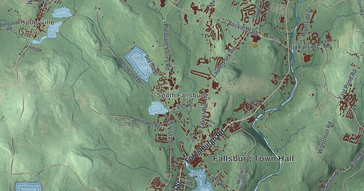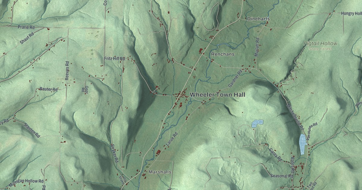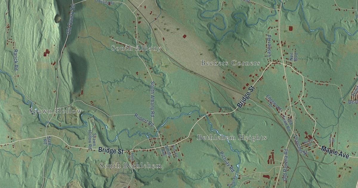
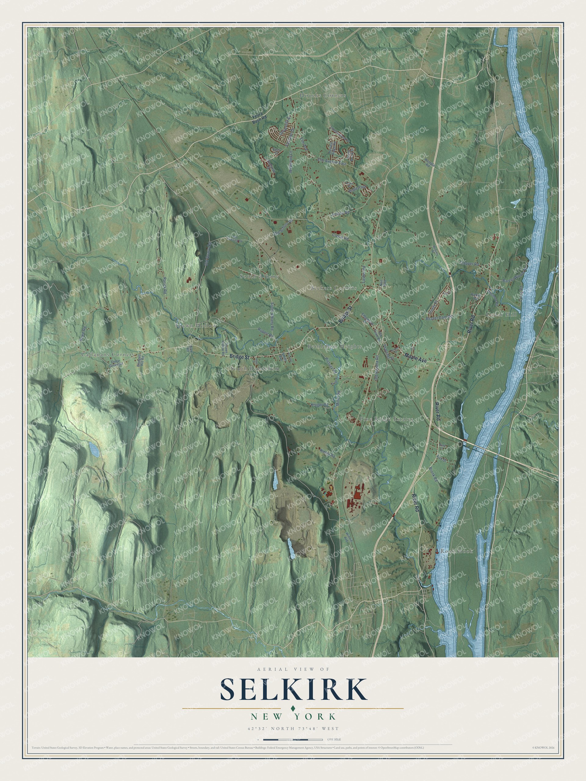
This beautifully detailed map of Selkirk, New York was created in 2026 using aerial imagery combined with modern topographical, census, street and landmark data. It’s a one-of-a-kind view of Selkirk that combines accurate data with a vintage aesthetic. The map shows every building in its true location, many of the roads carry their names, and the shaded topographic relief shows the shape of the land.
Explore an aerial view of Selkirk, New York
On the map you’ll find Bethlehem Heights, Houcks Corners, Roah Hook, Cedar Hill, Callanans Corners, Beckers Corners, Spawn Hollow, Pine Ridge Estates, South Albany, and South Bethlehem, along with River Road, Bridge Street, and more. If you look closely you can even find your house accurately drawn in its correct location. Zoom in on the preview to look for yours.
Take a closer look at the Selkirk map
Names on this map
These names are printed on this map.
Places: Bethlehem Heights, Houcks Corners, Roah Hook, Cedar Hill, Callanans Corners, Beckers Corners, Spawn Hollow, Pine Ridge Estates, South Albany and South Bethlehem.
Streets and roads: River Road, Bridge Street, Maple Avenue, South Albany Road, Old School Road, Kruger Road, Old Quarry Road, Elm Avenue, Clapper Road, Old Ravena Road, Beaver Dam Road, Rowe Road.
More street names, A to Z
Anna Court, Barent Winnie Road, Barry Court, Bell Crossing Road, Blodgett Hill Road, Bridge Road, Bridle Path, Bronk Road, Cedar Grove Road, Chesterwood Drive, Creble Road, Dinsmore Road, Edgewood Drive, Elm Avenue East, Esplande Street, Fairlawn Drive, Feura Bush Road, Fox Street, Hackett Street, Harvest Ridge Road, Jericho Road, John Street, Kinley Road, Lasher Road, Lyons Road, McGinty Drive, Miller Road, Neil Boulevard, Niver Avenue, Old Town Road, Parker Road, Pictuay Road, Rarick Road, Ruby Lane, Rupert Road, Smith Avenue, South Street, Spawn Hollow Road, Starr Road, Stony Brook Drive, Thatcher Street, Trinity Place, Trotter Road, University Street, Wemple Road, Wildwood Lane, Winnie Avenue.
See it on a wall
The Selkirk map as a framed print. Swipe for more.


This beautifully detailed map of Selkirk makes an attractive addition to your office, library, or den, and it can even be used to teach children the geography and history of the area. It also makes a great gift for anyone who grew up in Selkirk or moved away. When you’re done exploring, click here to get your copy of the Selkirk map.