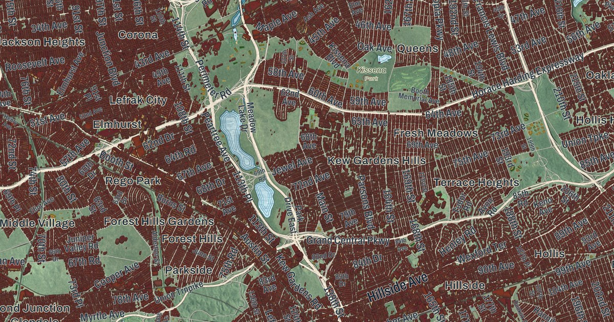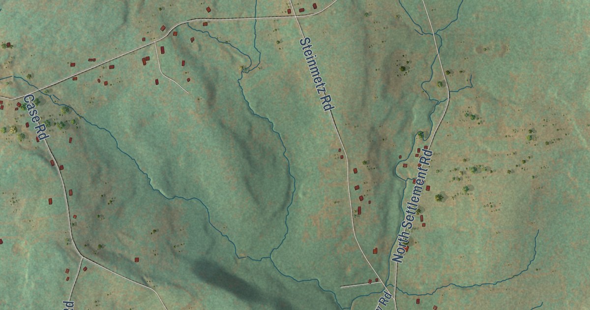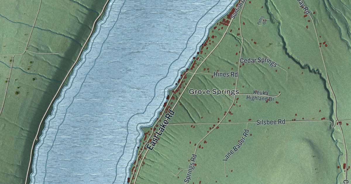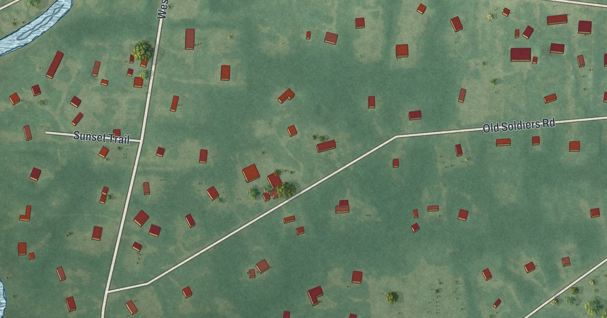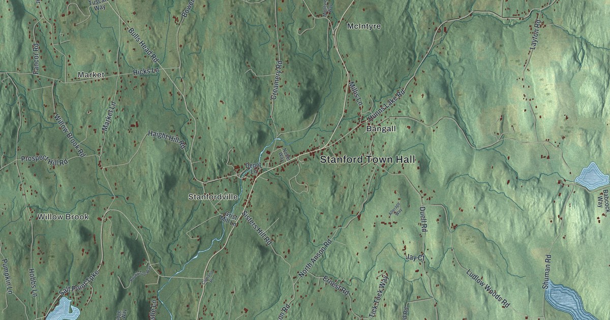
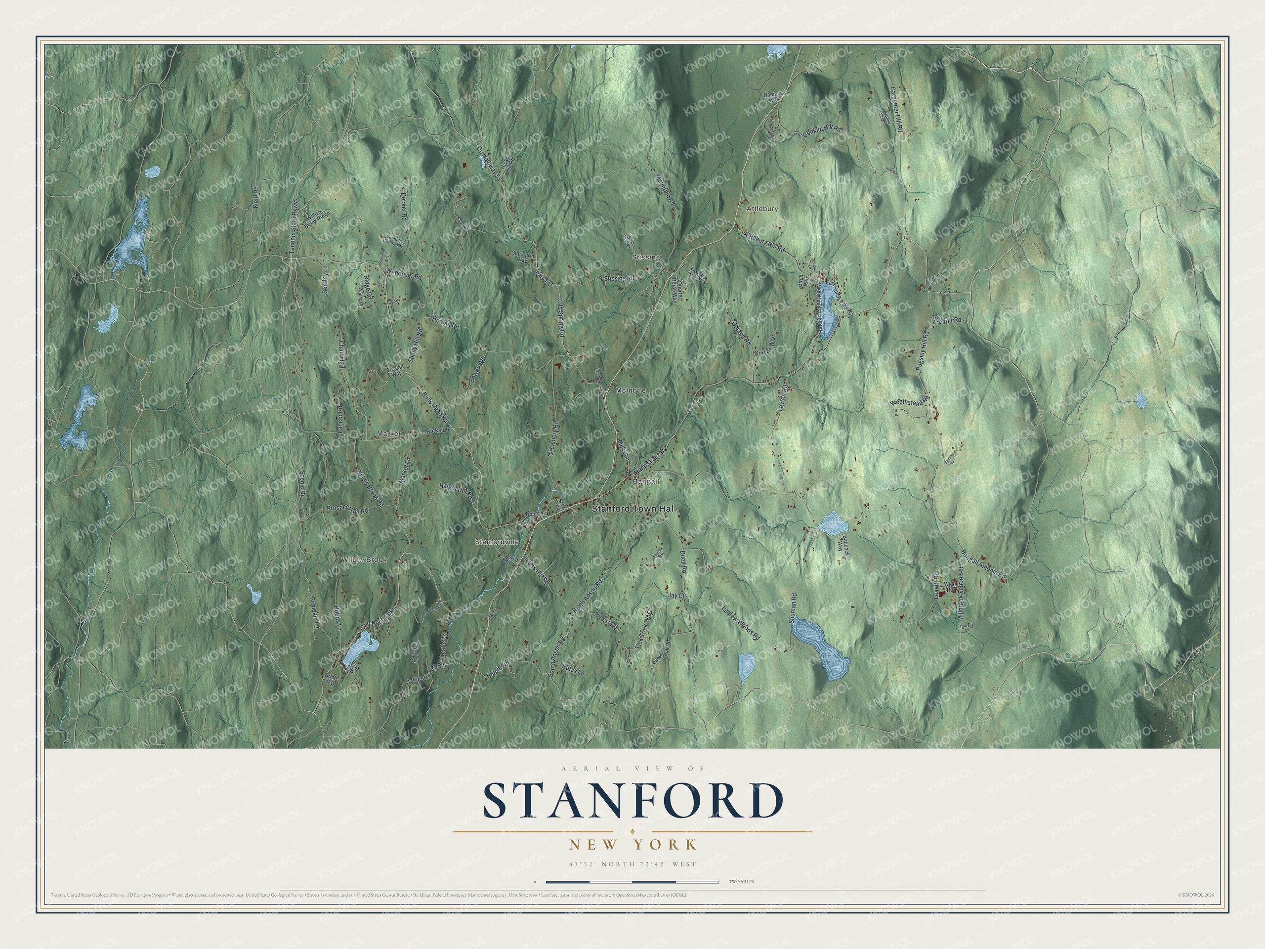
This beautifully detailed map of Stanford, New York was created in 2026 using aerial imagery combined with modern topographical, census, street and landmark data. It’s a one-of-a-kind view of Stanford that combines accurate data with a vintage aesthetic. The map shows every building in its true location, many of the roads carry their names, and the shaded topographic relief shows the shape of the land.
Explore an aerial view of Stanford, New York
On the map you’ll find Stanford Town Hall, Willow Brook, Market, Attlebury, Stanfordville, and Stissing, along with Bulls Head Road, Cold Spring Road, Anson Road, Wendover Road, and more. If you look closely you can even find your house accurately drawn in its correct location. Zoom in on the preview to look for yours.
Take a closer look at the Stanford map
Names on this map
These names are printed on this map.
Places: Stanford Town Hall, Willow Brook, Market, Attlebury, Stanfordville, Stissing, Bangall and McIntyre.
Streets and roads: Bulls Head Road, Cold Spring Road, South Anson Road, Wendover Road, Taconic State Parkway, Hunns Lake Road, Bangall Amenia Road, Willow Brook Road, County Highway 53, Salt Point Turnpike, Shelly Hill Road, Hobbs Lane.
More street names, A to Z
Aberdeen Lane, Allerage Way, Attlebury Hill Road, Babcock Way, Barton Lane, Bentley Lane, Birch Run, Bockee Lane, Bowen Road, Bridle Way, Carpenter Hill Road, Cascadia Farm Way, Charwill Drive, Cipriano Place, Conklin Hill Road, Corrao Way, Creamery Road, Daniel's Way, Decker Road, Depot Lane, Duell Road, East Hunns Lake Road, Ernest Road, Fancor Road, Field Road, Goodwin Lane, Grist Mill Lane, Grove Way, Haight Hill Road, Halas Lane, Hammond Road, Hicks Hill Road, Hicks Lane, Homan Road, Howard Lane, Jameson Hill Road, Jay Court, Klein Drive, Knight Road, Layton Road, Leavitt Road, Ludlow Woods Road, Market Lane, McIntyre Way, Millbrook School Road, Millis Lane, Mountain Road, Nine Partners Road, Noller Way, North Anson Road, North Farm Way, Ohland Road, Partridge Creek Way, Prospect Hill Road, Pugsley Hill Road, Pumpkin Lane, Quarter Horse Way, Redmond Way, Ridge Road, Rocky Top Way, Saint Bernard Way, Scenic Drive, Sheafer Road, Shuman Road, Sisters Hill Road, Star Farm Way, Stissing Road, Stone Creek, Tick Tock Way, Trestle Lane, Tuscan Way, Weethstead Road, West Hunns Lake Road, West Road, Willow Brook Ridge, Winding Creek Way, Woods Drive.
See it on a wall
The Stanford map as a framed print. Swipe for more.


This beautifully detailed map of Stanford makes an attractive addition to your office, library, or den, and it can even be used to teach children the geography and history of the area. It also makes a great gift for anyone with Stanford roots. When you’re done exploring, click here to get your copy of the Stanford map.