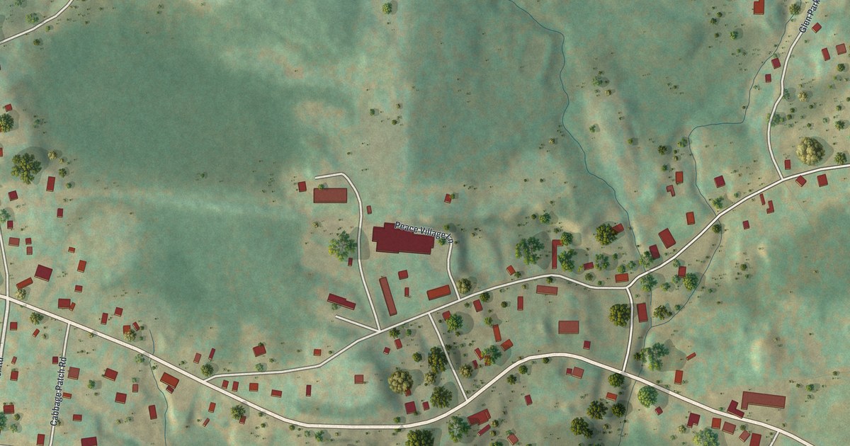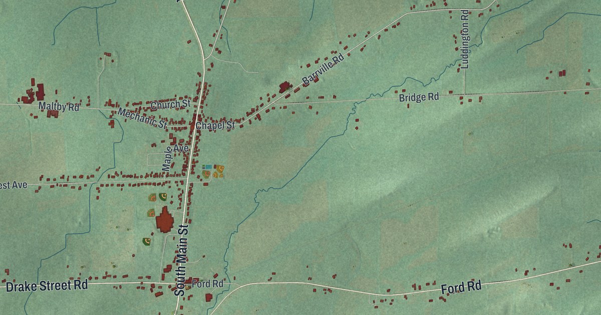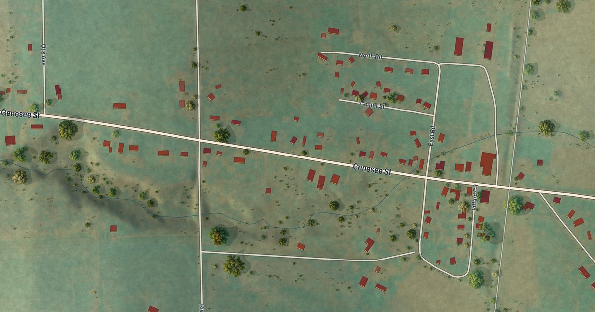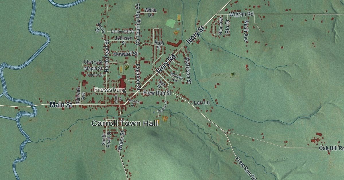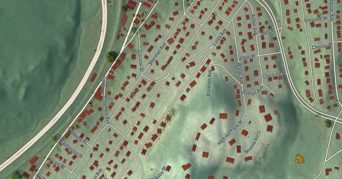
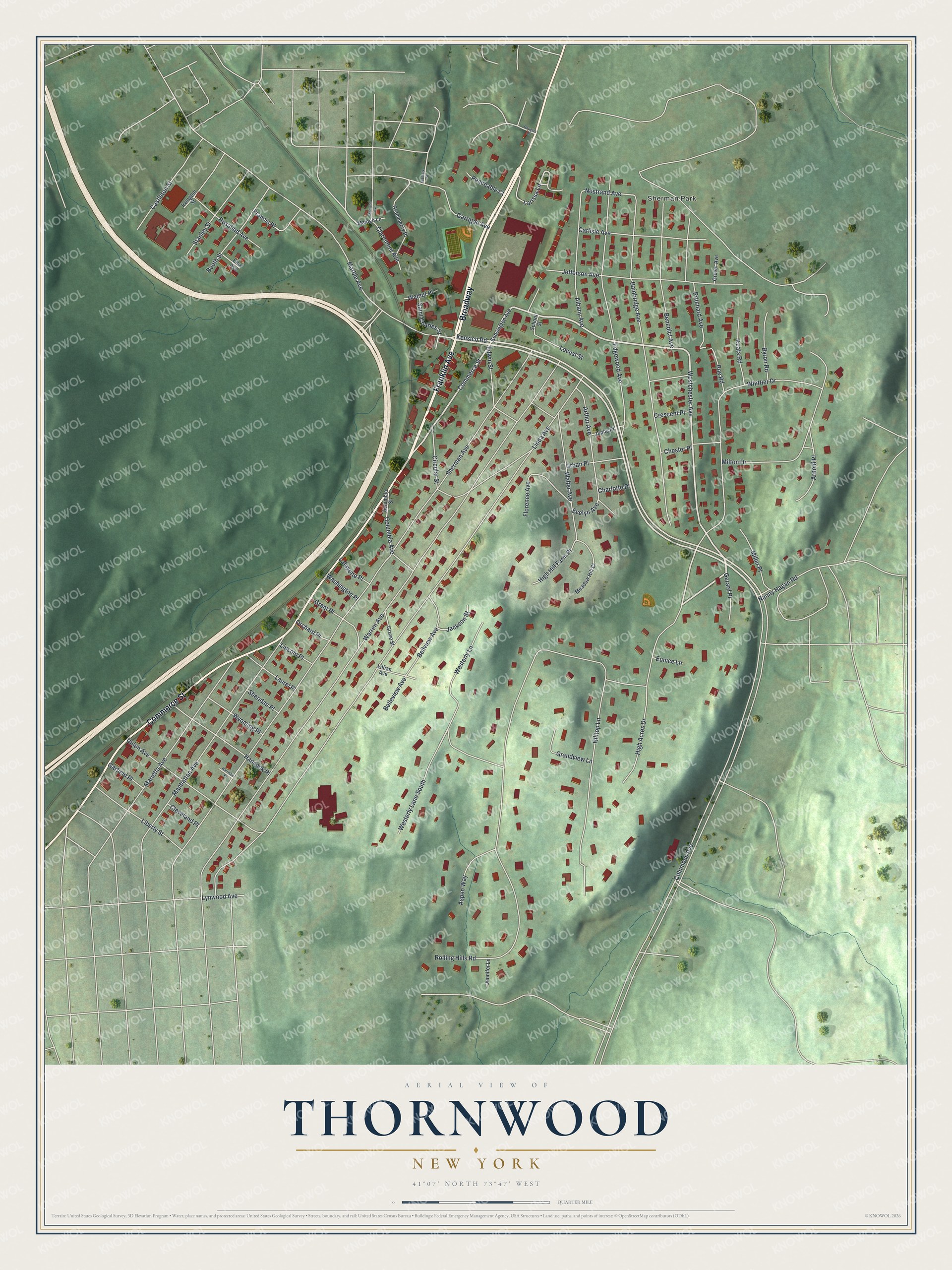
This beautifully detailed map of Thornwood, New York was created in 2026 using aerial imagery combined with modern topographical, census, street and landmark data. It's a modern aerial view of Thornwood in Westchester County, New York, that combines modern data with a vintage aesthetic. The roads feature printed names, and if you look closely you can find your exact house accurately shown in its correct location.
Explore an aerial view of Thornwood, New York
On this map you'll find Sherman Park, Franklin Avenue, Commerce Street, Broadway, Kensico Road, Rolling Hills Road, Marble Avenue, Westchester Avenue, Bainbridge Avenue, Westerly Lane, Larissa Lane, Nostrand Avenue, and more. Each red shape is a building, so zoom in on the preview and look for yours.
Thornwood is a community in Westchester County. The Census Bureau counted 3,960 people here in 2020. Thornwood sits about 3 miles south of Chappaqua, 3 miles north of Valhalla and 3 miles west of Armonk. The map prints the town name in its title panel, with the coordinates below it.
Take a closer look at the Thornwood map
Names on this map
These names are printed on this map.
Places: Sherman Park.
Streets and roads: Franklin Avenue, Commerce Street, Broadway, Kensico Road, Rolling Hills Road, Marble Avenue, Westchester Avenue, Bainbridge Avenue, Westerly Lane, Larissa Lane, Nostrand Avenue, Bellview Avenue.
More street names, A to Z
Albany Avenue, Arnold Place, Arthur Avenue, Aspen Way, Belleview Avenue, Benedict Avenue, Bismark Street, Booth Street, Byron Road, Carlisle Avenue, Castleton Street, Charlotte Place, Chester Place, Circular Street, Claremont Avenue, Cleveland Place, Columbia Avenue, Columbia Street, Columbus Avenue, Crescent Place, Douglas Drive, Edgewood Avenue, Edwin Street, Elsa Avenue, Eunice Lane, Evelyn Avenue, Florence Avenue, Francis Place, Garfield Place, Garrigan Avenue, Gerard Place, Grammercy Place, Grandview Lane, Grant Place, Grover Avenue, Grove Street, Hancock Place, Harrison Place, High Acres Drive, High Hill Farm Place, Hilltop Lane, Irvington Street, Jackson Street, Japha Place, Jefferson Avenue, Jennifer Lane, Keats Road, Kensington Avenue, Lafayette Place, Laurel Place, Liberty Street, Lillian Avenue, Lincoln Place, Linda Avenue, Locust Street, Lynwood Avenue, Madison Avenue, Maiden Lane, Manhattan Avenue, Marietta Avenue, Meadow Hill Court, Miller Place, Milton Drive, Nanny Hagan Road, Orchard Place, Peaceable Court, Poe Road, Pritchard Avenue, Rosalind Avenue, Saint Charles Street, School Street, Sheridan Place, Sherman Avenue, Stanley Street, Union Avenue, Urban Place, Walnut Place, Walter Avenue, Warren Avenue, Washington Place, Westerly Lane South, Whittier Drive, Wyoming Place.
See it on a wall
The Thornwood map as a framed print. Swipe for more.


Created by KNOWOL in 2026. The buildings are small red shapes, the roads carry their printed names, and shaded relief shows the shape of the land. The title panel reads "AERIAL VIEW OF THORNWOOD, NEW YORK" with 41°07' NORTH 73°47' WEST.
Hang it in the hallway, the office or the cabin, or give it to someone who left Thornwood and still calls it home. Open the preview and look for a street you know. See sizes and frames for the Thornwood map.