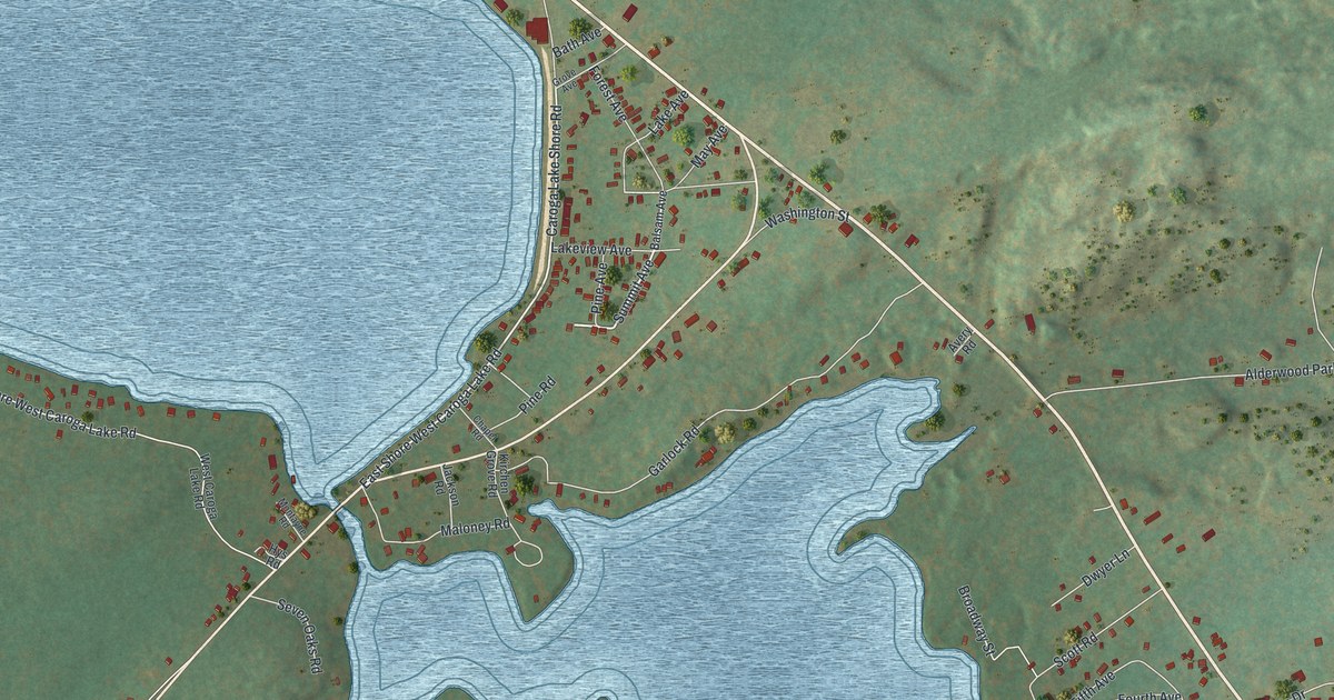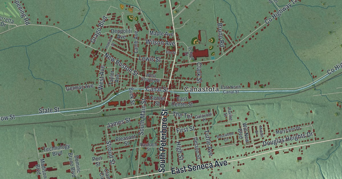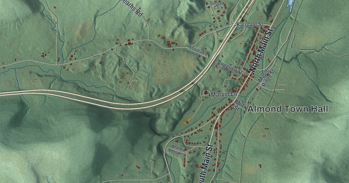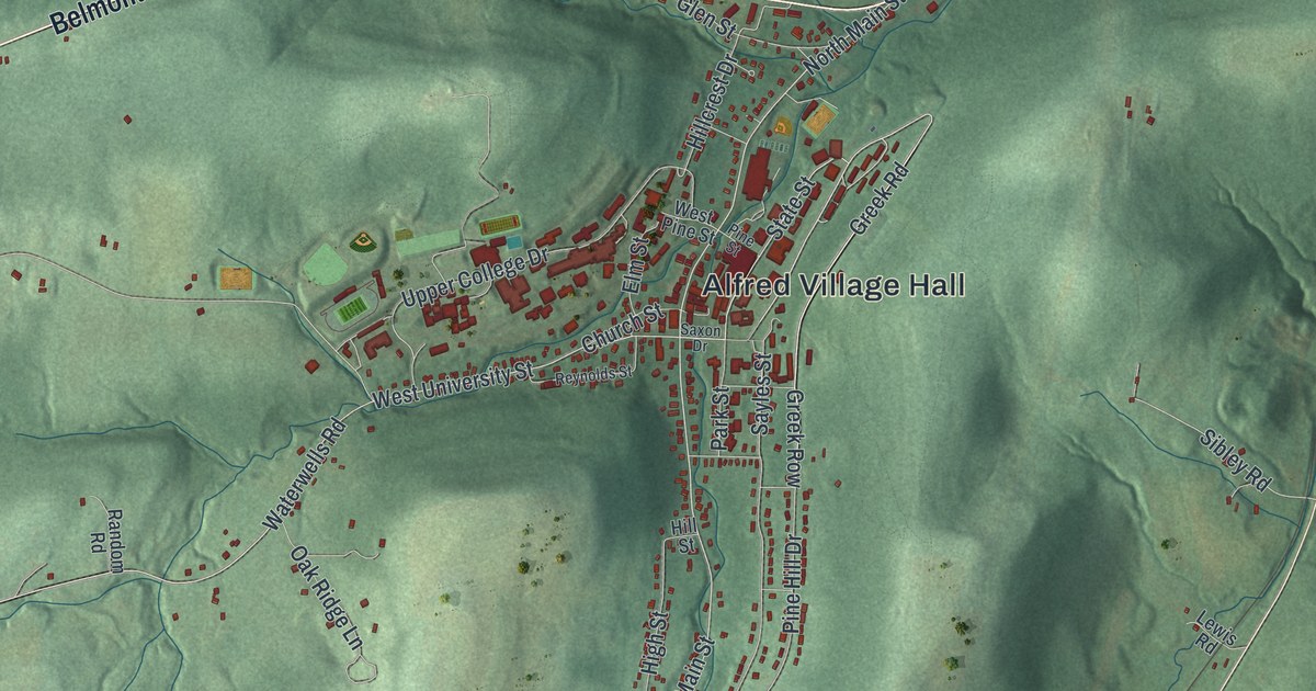
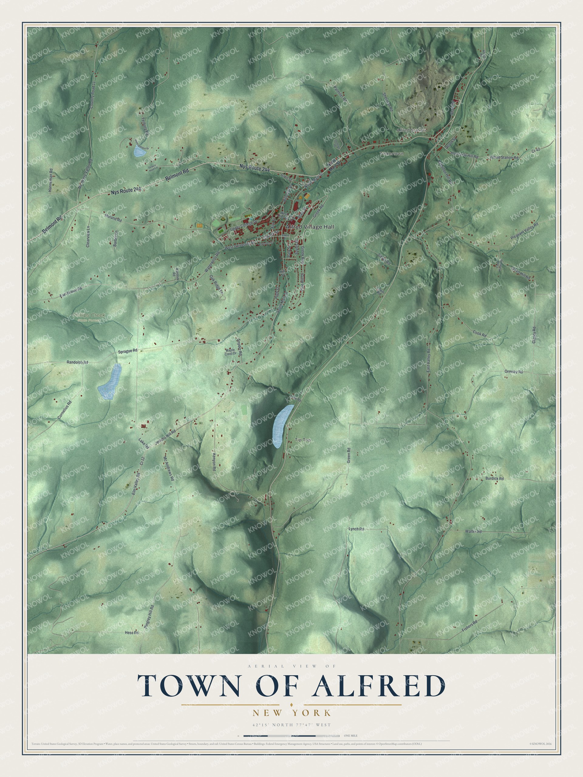
This beautifully detailed map of the Town of Alfred, New York was created in 2026 using aerial imagery combined with modern topographical, census, street and landmark data. It’s a one-of-a-kind view of the Town of Alfred that combines accurate data with a vintage aesthetic. The map shows every building in its true location, many of the roads carry their names, and the shaded topographic relief shows the shape of the land.
Explore an aerial view of the Town of Alfred, New York
On the map you’ll find Alfred Village Hall, Alfred Station, Tinkertown, Tip Top, and Phillips Creek State Forest, along with Belmont Road, Main Street, Greek Road, University Street, and more. If you look closely you can even find your house accurately drawn in its correct location. Zoom in on the preview to look for yours.
Did You Know?
Alfred University began in 1836 as a select school. It became Alfred Academy in 1843 and won a university charter in 1857. In 1900 the State School of Clay Modeling and Ceramics opened there. Its Steinheim Museum, built like a German castle, was the second oldest college museum in the country. That’s from the 1940 WPA guide to New York.
Take a closer look at the Town of Alfred map
Names on this map
These names are printed on this map.
Places: Alfred Village Hall, Alfred Station, Tinkertown, Tip Top and Phillips Creek State Forest.
Streets and roads: Belmont Road, Nys Route 244, State Street, North Main Street, Greek Road, South Main Street, West University Street, Cr 12, Jericho Hill Road, Elm Valley Road, Greek Row, Hanneman Road.
More street names, A to Z
Alfred Station Road, Barber Lane, Burdick Road, Camp Harley Road, Cemetary Road, Church Street, Clancy Road, Clearview Lane, Cook Road, Cornelius Road, Country Road 11, Cr 42, Davis Hill Road, Depot Street, Earl Brown Road, East Valley Road, Elm Street, Fishers Road, Glen Street, Green Road, Hamilton Hill Road, Hartsville Hill Road, Hess Road, High Street, Hillcrest Drive, Hill Street, Kenyon Road, Lake Road, Lewis Road, Lusk Road, Lynch Road, Maple Crest Drive, Mc Andrews Road, Mc Henry Valley Road, Moland Road, Oak Ridge Lane, Ormsby Road, Palmiter Road, Park Street, Pine Hill Drive, Pine Street, Pingrey Hill Road, Pleasant Valley Road, Randolph Road, Random Road, Reynolds Street, Saxon Drive, Sayles Street, Shaw Road, Sherman Road, Sibley Road, Snyder Road, Sprague Road, Terbury Road, Terbury Road Extension, Upper Campus Drive, Upper College Drive, Walter Road, Waterwells Road, West Pine Street, Whitford Road.
See it on a wall
The Alfred map as a framed print. Swipe for more.


This beautifully detailed map of the Town of Alfred makes an attractive addition to your office, library, or den, and it can even be used to teach children the geography and history of the area. It also makes a great gift for anyone who grew up in the Town of Alfred or moved away. When you’re done exploring, click here to get your copy of the Town of Alfred map.