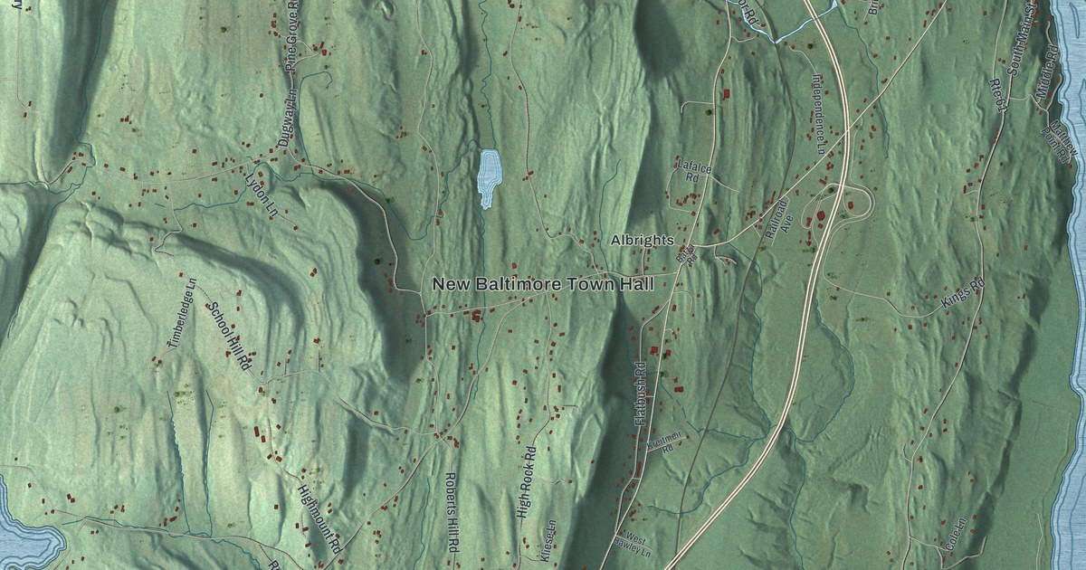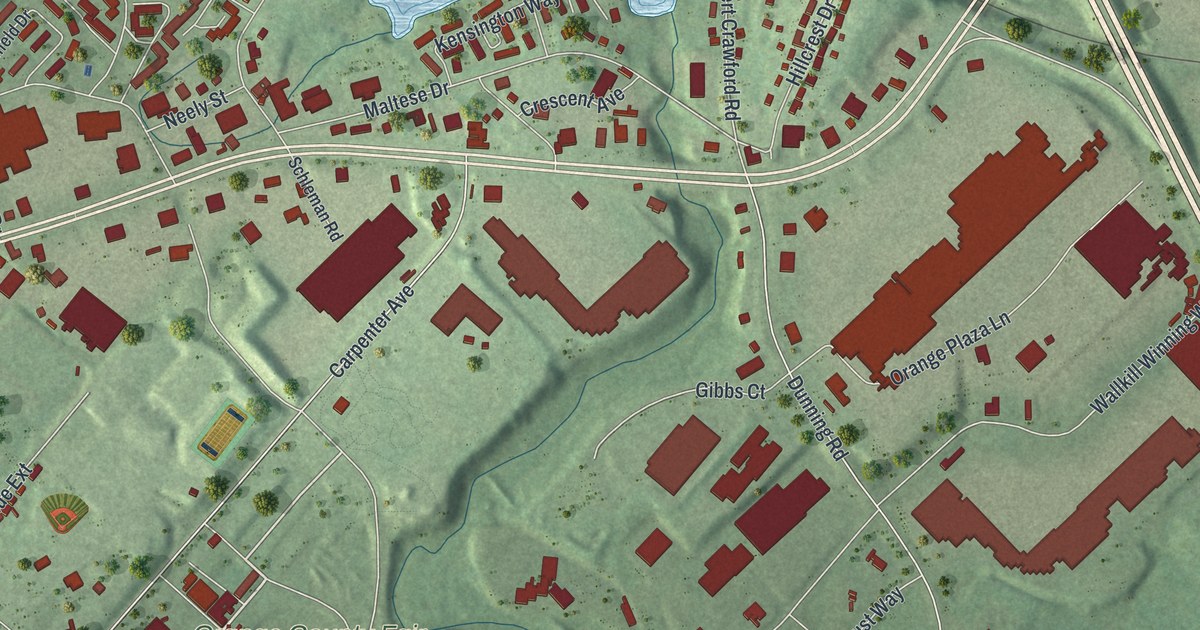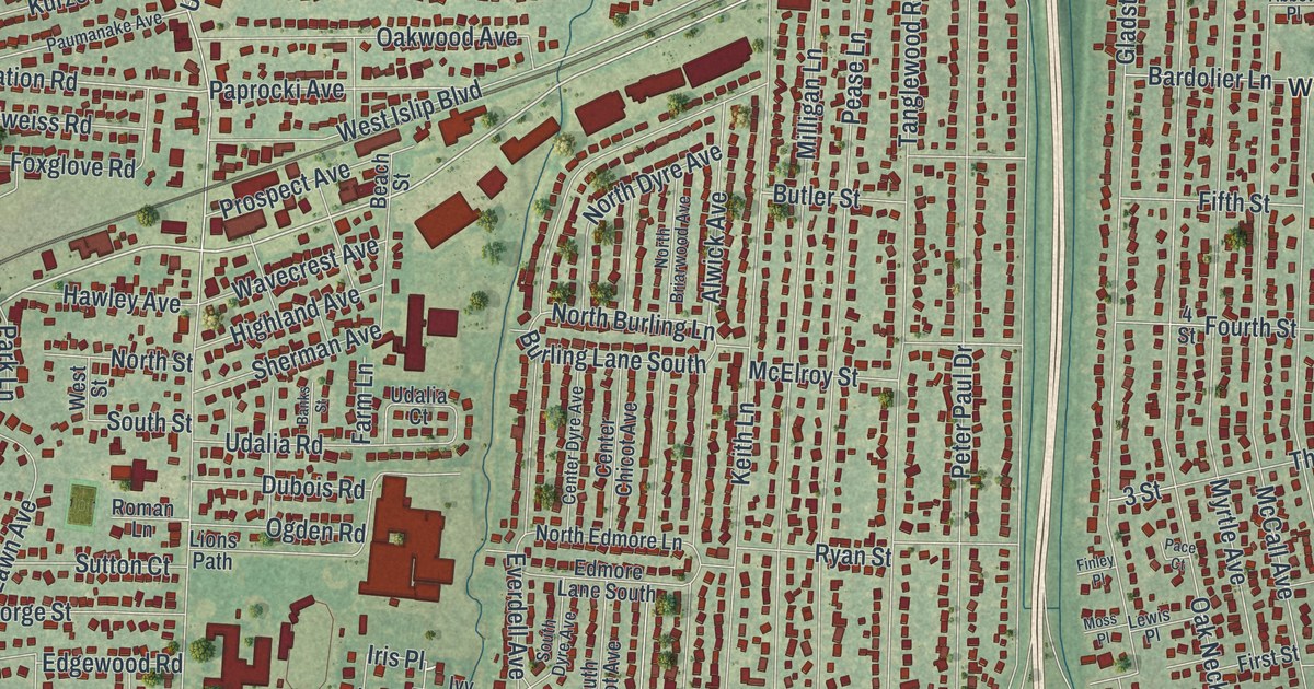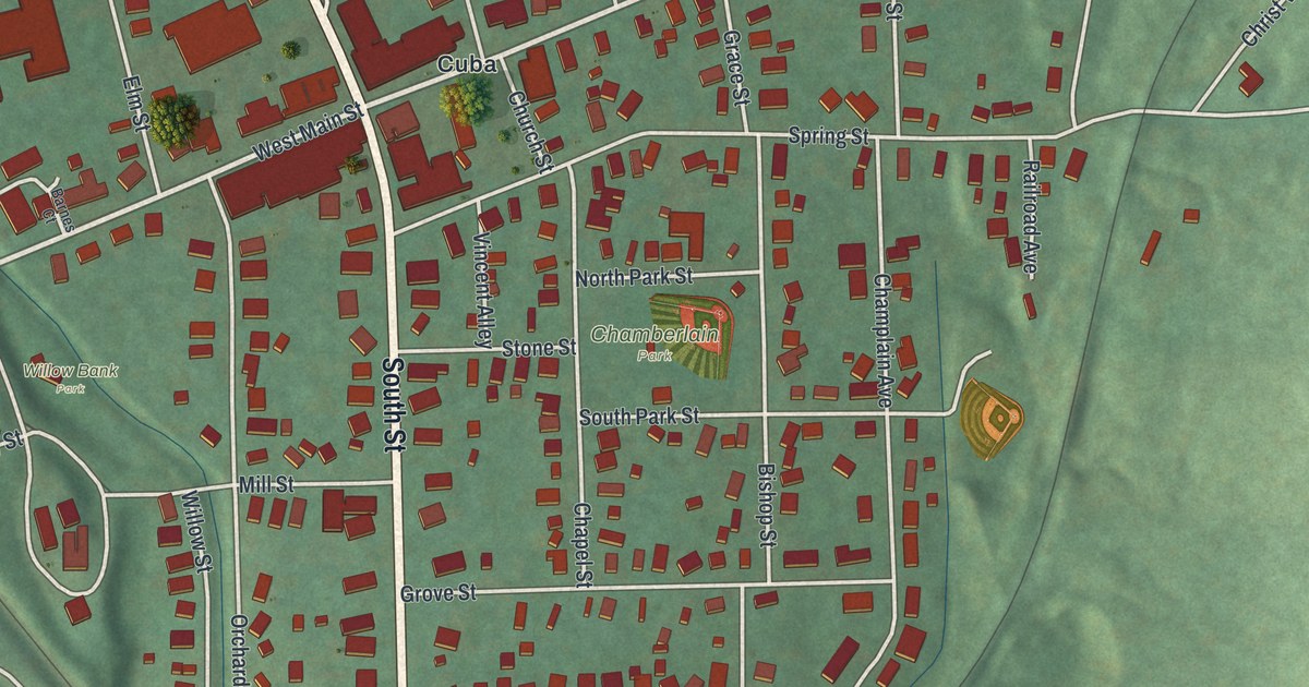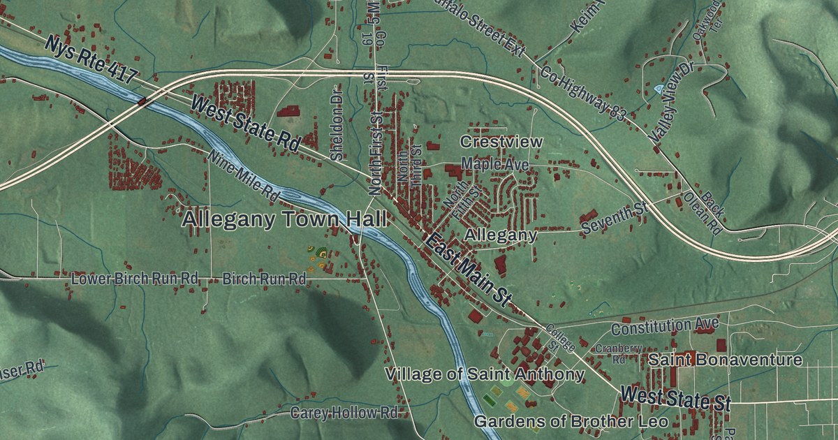
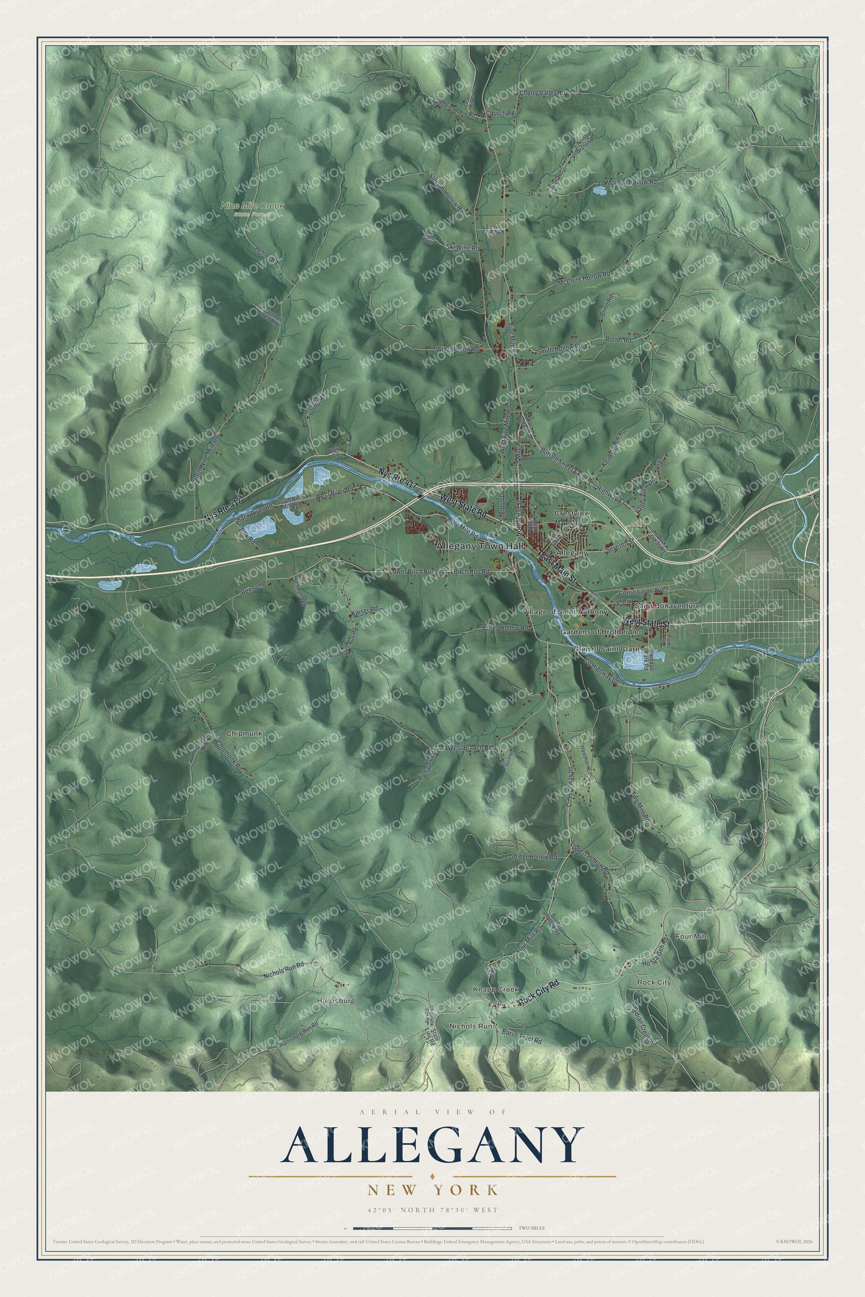
This beautifully detailed map of Allegany, New York was created in 2026 using aerial imagery combined with modern topographical, census, street and landmark data. It’s a one-of-a-kind view of Allegany that combines accurate data with a vintage aesthetic. The map shows every building in its true location, many of the roads carry their names, and the shaded topographic relief shows the shape of the land.
Explore an aerial view of Allegany, New York
On the map you’ll find Allegany Town Hall, Nichols Run, Knapp Creek, Rock City, Harrisburg, Four Mile, and Nine Mile Creek State Forest, along with State Street, Main Street, Rock City Road, State Road, and more. If you look closely you can even find your house accurately drawn in its correct location. Zoom in on the preview to look for yours.
Did You Know?
Ebenezer Reed came from Connecticut and settled the town around 1820. It was formed in 1831 as the town of Burton and was renamed Allegany in 1851. In 1837, backers proposed a new community called Allegany City. The plan was dropped when a planned railroad changed its route.
Take a closer look at the Allegany map
Names on this map
These names are printed on this map.
Places: Allegany Town Hall, Nichols Run, Knapp Creek, Rock City, Harrisburg, Four Mile, Nine Mile Creek State Forest, Allegany, Chipmunk, Crestview, Gardens of Brother Leo, Glen of Saint Clare, Saint Bonaventure and Village of Saint Anthony.
Streets and roads: West State Street, East Main Street, Nys Route 417, Rock City Road, West State Road, Four Mile Road, West River Road, County Highway 83, Buffalo Street Extension, Nine Mile Road, 5 Mile Road, Seventh Street.
More street names, A to Z
Back Buffalo Road, Back Olean Road, Back River Road, Barse Tract Road, Benson Drive, Birch Run Road, Blair Road, Blinn Road, Boulder Ridge Road, Bucher Hollow Road, Carey Hollow Road, Chapel Hill Road, Cherry Valley Road, Chipmonk Road, Chipmunk Run Road, Church Road, College Street, Constitution Avenue, County Highway 60, County Highway 61, Cranberry Road, Eaton Cross Road, First Street, Five Mile Road, Flatstone Road, Gargoyle Park Road, Geiger Hollow Road, Harrisburg Run Road, Hawthorn Lane, Ho Sta Geh Road, Indian Creek Road, Kaiser Road, Karl Road, Keim Hollow Road, Knapp Creek Road, Lippert Hollow Road, Lower Birch Run Road, Maple Avenue, McClure Hollow Road, Morgan Hollow Road, Nichols Run Road, North Branch Road, North Fifth Street, North First Street, North Nine Mile Road, North Third Street, Oakwood Terrace, Park Street, Phearsdorf Forest Road, Potter Road, Pumpkin Hollow Road, Rehler Road, Richards Road, Schnell Road, Sheldon Drive, Ski Wing, Ski Wing Road, Slocum Hollow Road, Smith Hollow Road, South Nine Mile Road, State Line Road, Townsend Hollow Road, Two Mile Road, Upper Birch Run Road, Valley View Drive, West Branch Road, West Five Mile Road, Wing Hollow Road, Zink Road.
See it on a wall
The Allegany map as a framed print. Swipe for more.


This beautifully detailed map of Allegany makes an attractive addition to your office, library, or den, and it can even be used to teach children the geography and history of the area. It also makes a great gift for anyone who grew up in Allegany or moved away. When you’re done exploring, click here to get your copy of the Allegany map.