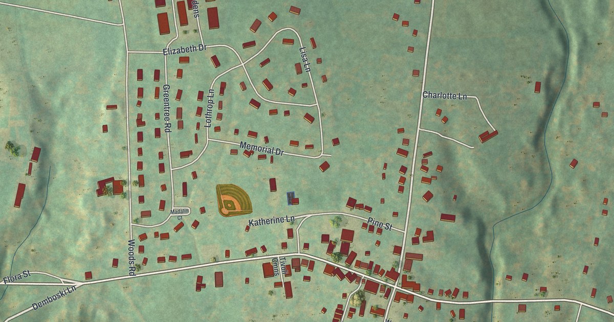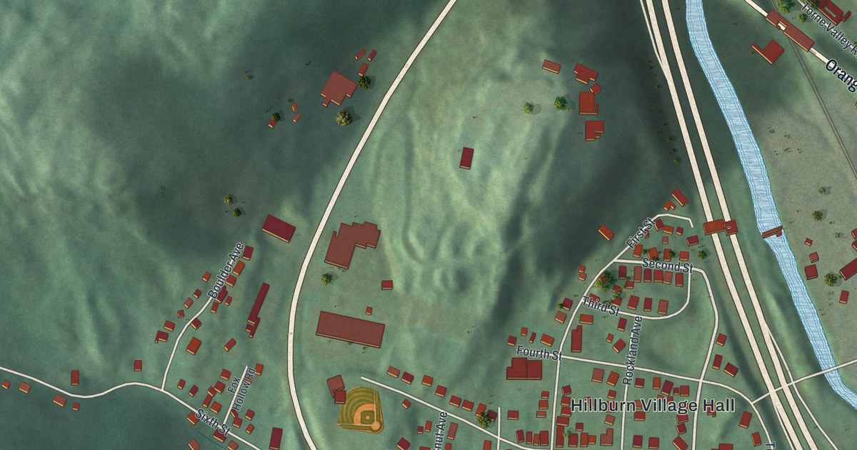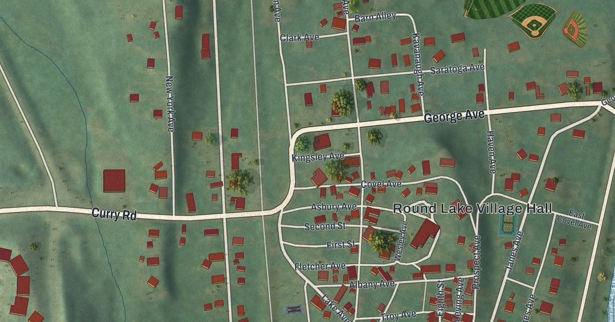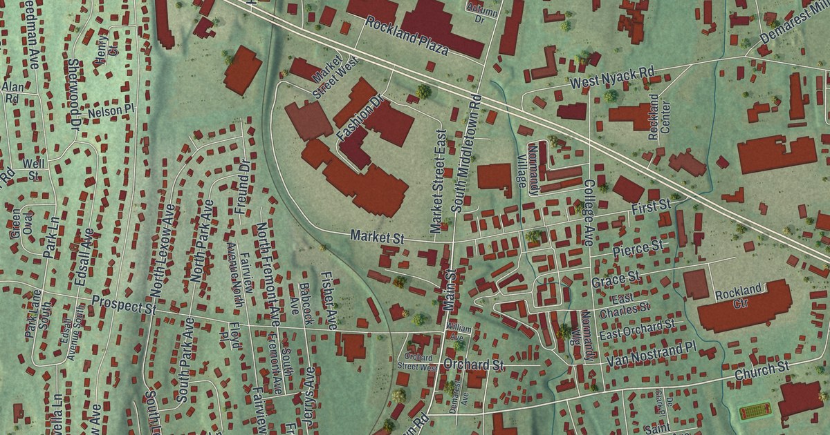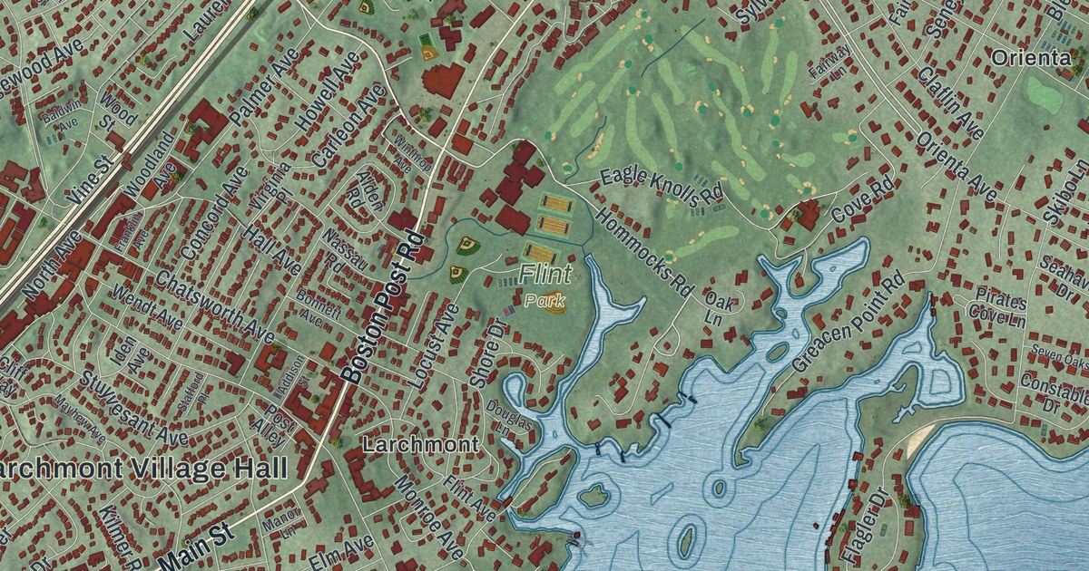
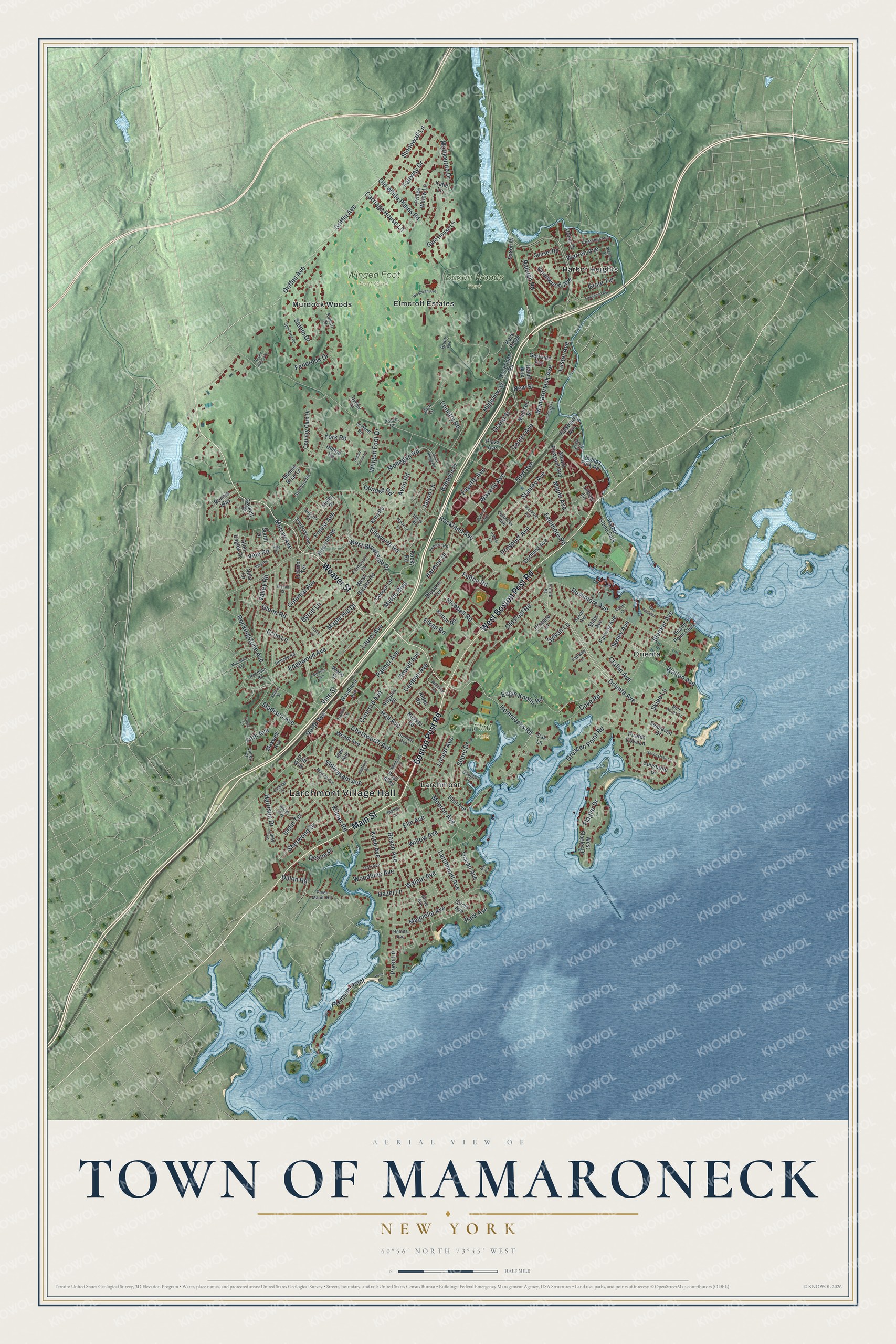
This beautifully detailed map of the Town of Mamaroneck, New York was created in 2026 using aerial imagery combined with modern topographical, census, street and landmark data. It’s a one-of-a-kind view of the Town of Mamaroneck that combines accurate data with a vintage aesthetic. The map shows every building in its true location, many of the roads carry their names, and the shaded topographic relief shows the shape of the land.
Explore an aerial view of the Town of Mamaroneck, New York
On the map you’ll find Larchmont Village Hall, Harbor Heights, Larchmont, Murdock Woods, Orienta, Flint Park, and Saxon Woods Park, along with Main Street, Weaver Street, Boston Post Road, Orienta Avenue, and more. If you look closely you can even find your house accurately drawn in its correct location. Zoom in on the preview to look for yours.
Did You Know?
On September 23, 1661, an Englishman named John Richbell bought the land that is now Mamaroneck from the Siwanoy. Richbell lived at Oyster Bay on Long Island. More than a century later, on March 7, 1788, state lawmakers made Mamaroneck an official town.
Take a closer look at the Town of Mamaroneck map
Names on this map
These names are printed on this map.
Places: Larchmont Village Hall, Flint Park, Saxon Woods Park, Winged Foot Golf Club, Elmcroft Estates, Harbor Heights, Larchmont, Murdock Woods, Orienta and Harbor Island Park.
Streets and roads: Main Street, Weaver Street, Boston Post Road, West Boston Post Road, Orienta Avenue, Hommocks Road, Griffen Avenue, Dillon Road, Deane Place, Mamaroneck Avenue, Palmer Avenue, Fenimore Road.
More street names, A to Z
Adams Street, Addison Street, Alden Road, Avon Road, Baldwin Avenue, Baldwin Place, Bay Avenue, Beach Avenue, Beach Point Club, Bleeker Avenue, Blossom Terrace, Bonnett Avenue, Bonnie Briar Lane, Bonnie Way, Briarcliff Road, Bruce Avenue, Bryson Street, Burton Road, Byron Lane, Carleon Avenue, Carriage House Lane, Center Avenue, Chatsworth Avenue, Chestnut Avenue, Circle Avenue, Claflin Avenue, Cliff Way, Colonial Avenue, Concord Avenue, Constable Drive, Coolidge Street, Cooper Lane, Cortland Avenue, Country Club Drive, Country Road, Cove Road, Daymon Terrace, Delancey Avenue, Doris Road, Douglas Lane, Dudley Lane, Dundee Road, Eagle Knolls Road, Echo Lane, Edgewood Avenue, Elkan Road, Ellsworth Road, Elm Avenue, Eton Road, Fairway Avenue, Fairway Drive, Fairway Lane, Fayette Avenue, Fenbrook Drive, Fernwood Road, Fifth Avenue, Flagler Drive, Flint Avenue, Forest Avenue, Fourth Street, Franklin Avenue, Fulton Road, Gate House Lane, Gertrude Avenue, Glen Eagles Drive, Glen Lane, Glenn Road, Grand Street, Grant Terrace, Greacen Point Road, Griffin Avenue, Grove Avenue, Hall Avenue, Halstead Avenue, Harmon Drive, Harrison Drive, Hazel Lane, Heathcote Avenue, Helena Avenue, Hidden Green Lane, Highview Street, Hillside Road, Hilltop Road, Holly Place, Howell Avenue, Hoyt Avenue, Hudson Place, Iden Avenue, Indian Cv, Iselin Terrace, Jason Lane, Kane Avenue, Katie Lane, Kilmer Road, Knollwood Avenue, Kolbert Drive, Larchmont Avenue, Laurel Avenue, Lawrence Avenue, Lester Avenue, Library Lane, Locust Avenue, Lundy Lane, Madison Avenue, Madison Street, Magnolia Avenue, Manor Lane, Maple Avenue, Maple Hill Drive, Marbourne Drive, Maxwell Avenue, Mayhew Avenue, Mohegan Road, Monroe Avenue, Mountain Avenue, Mount Pleasant Avenue, Mulberry Lane, Murray Avenue, Myrtle Boulevard, Nassau Road, Nelson Street, New Street, Nine Acres Lane, North Avenue, Oak Avenue, Oak Lane, Ocean Avenue, Old Post Road, Old White Plains Road, Ormand Road, Orsini Drive, Palmer Terrace, Park Avenue, Phillips Park Road, Pirates Cove Lane, Plaza Avenue, Poccia Circle, Point Road, Post Alley, Premium Point, Prince Willow Lane, Prospect Avenue, Protano Lane, Pryer Lane, Pryer Manor Road, Railroad Way, Raleigh Road, Ralph Avenue, Revere Road, Richbell Road, Rochelle Road, Rockingstone Avenue, Rockland Avenue, Rock Ridge, Rockridge Road, Rocky Hollow Drive, Rocky Road, Rushmore Avenue, Sackett Drive, Salem Drive, Saxon Drive, Seahaven Drive, Seney Avenue, Seven Oaks Lane, Sheldrake Avenue, Sherwood Drive, Shore Drive, Skibo Lane, South Drive, South Ridge Road, Split Tree Road, Stafford Place, Stanley Avenue, Stiles Avenue, Stonewall Lane, Stratford Road, Stuyvesant Avenue, Sunset Road, Sylvan Avenue, Sylvan Lane, The Crescent, Urban Street, Valley Place, Valley Road, Van Ranst Place, Varela Lane, Villa Lane, Villa Road, Vine Place, Vine Road, Vine Street, Virginia Place, Walnut Avenue, Walton Avenue, Ward Avenue, Warren Avenue, Waverly Avenue, Wendt Avenue, Wesleyan Avenue, West Brookside Drive, West Flagler Drive, West Garden Road, Willow Avenue, Winged Foot Drive, Winthrop Avenue, Woodbine Avenue, Woodland Avenue, Wood Street, Woods Way, York Road.
See it on a wall
The Mamaroneck map as a framed print. Swipe for more.


This beautifully detailed map of the Town of Mamaroneck makes an attractive addition to your office, library, or den, and it can even be used to teach children the geography and history of the area. It also makes a great gift for someone who left the Town of Mamaroneck and still calls it home. When you’re done exploring, click here to get your copy of the Town of Mamaroneck map.