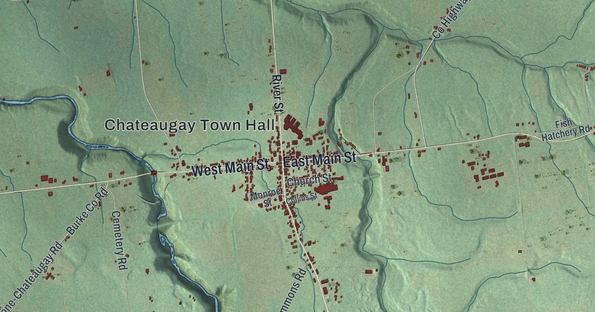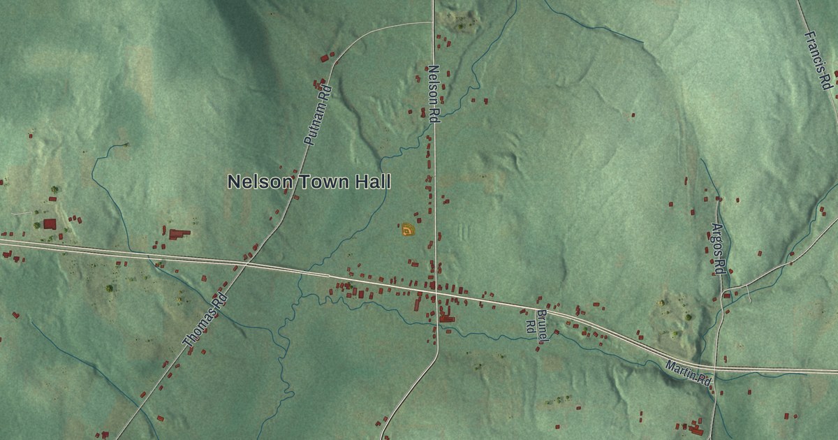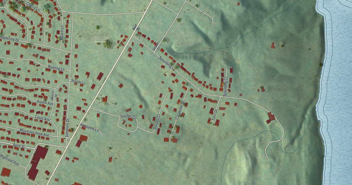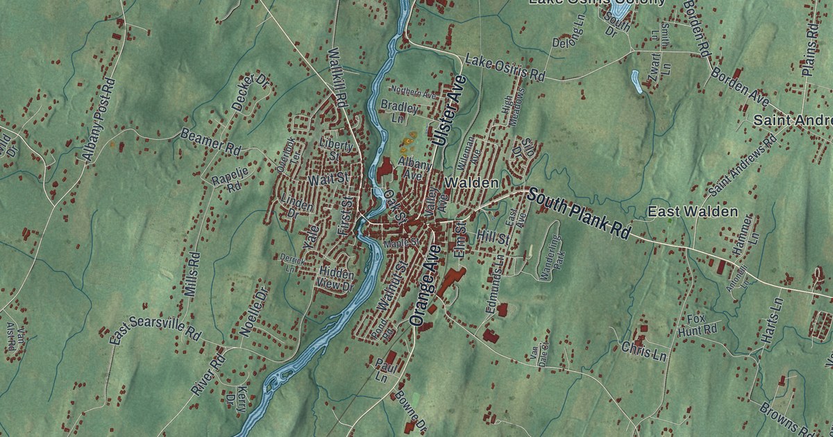
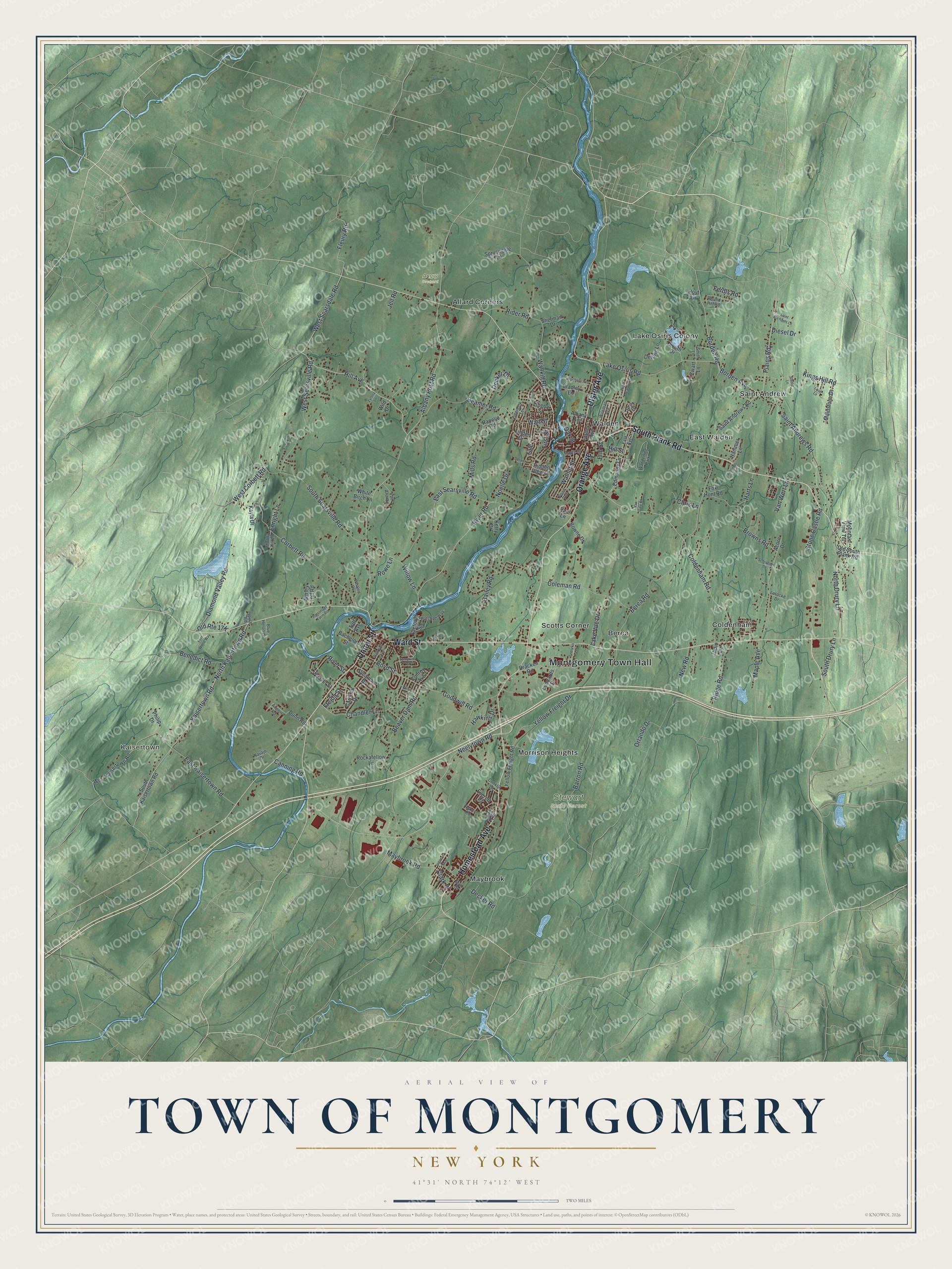
This beautifully detailed map of the Town of Montgomery, New York was created in 2026 using aerial imagery combined with modern topographical, census, street and landmark data. It’s a one-of-a-kind view of the Town of Montgomery that combines accurate data with a vintage aesthetic. The map shows every building in its true location, many of the roads carry their names, and the shaded topographic relief shows the shape of the land.
Explore an aerial view of the Town of Montgomery, New York
On the map you’ll find Montgomery Town Hall, Kaisertown, Allard Corners, Berea, Coldenham, East Walden, and Stewart State Forest, along with Plank Road, Homestead Avenue, Union Street, Ulster Avenue, and more. If you look closely you can even find your house accurately drawn in its correct location. Zoom in on the preview to look for yours.
Did You Know?
The town honors Richard Montgomery, a Revolutionary War general killed at the Battle of Quebec in 1775. Henry Wileman, the first settler, received a patent here in 1710. He led a group of Palatine Germans who settled the land. The town was set up as Hanover in 1772 and renamed Montgomery in 1782.
Take a closer look at the Town of Montgomery map
Names on this map
These names are printed on this map.
Places: Montgomery Town Hall, Kaisertown, Angry Orchard, Stewart State Forest, Allard Corners, Berea, Coldenham, East Walden, Lake Osiris Colony, Maybrook, Morrison Heights, Saint Andrew, Scotts Corner, Walden and Wanderling Park.
Streets and roads: South Plank Road, Homestead Avenue, Union Street, Ulster Avenue, Ward Street, Orange Avenue, Neelytown Road, Kaisertown Road, North Kaisertown Road, Plains Road, West Scarsdale Road, Borden Avenue.
More street names, A to Z
Acorn Drive, Airport Road, Albany Avenue, Albany Post Road, Antonelli Lane, Bachelor Street, Bailey Road, Barley Hill Road, Barron Road, Beamer Road, Beaver Dam Road, Benedict Road, Berea Road, Blue Heron Lane, Borden Road, Bowne Drive, Boyd Street, Bracken Road, Bradley Lane, Browns Road, Canning Road, Cardinal Drive, Chandler Lane, Chris Lane, Clark Place, Coldenham Road, Coleman Road, Conklin Lane, Conroy Avenue, Corbett Road, Decker Drive, Decker Road, Delong Lane, Derrick Lane, Diamond Valley Road, Didio Lane, Diesel Drive, Dunn Road, East Avenue, East Kaisertown Road, East Searsville Road, Edmunds Lane, Elm Street, Enright Lane, Everett Place, Factory Street, Fedorko Lane, Ferdls Road, Fern Wood Way, First Street, Fleury Road, Fox Hunt Road, Freida Street, Goodwill Road, Hammer Lane, Harts Lane, Hawkins Drive, Hidden View Drive, Highland Avenue, High Meadows, Hill Avenue, Hill Street, Hoyt Lane, Indian Trail, Jeil Road, Joyce Road, Kayla Drive, Kerry Drive, Kings Hill Road, Lake Osiris Road, Lake Vue Drive, Leonards Drive, Liberty Street, Linden Drive, Loch Lane, Lotocke Drive, Maidstone Drive, Main Street, Maple Avenue, Maple Street, Maybrook Road, Mills Road, Mountain View Terrace, Muddy Kill Lane, Navajo Drive, New Road, Noelle Drive, North Drury Lane, Northern Avenue, Oak Street, Old South Plank Road, Orlando Drive, Overlook Terrace, Parsonage Farm Road, Patchett Way, Paul Lane, Philip Drive, Pond Road, Railroad Avenue, Rakov Road, Rapelje Road, Rider Road, Ridge Road, River Road, River Street, Rockafellow Lane, Round Hill Road, Rowe Lane, Saint Andrews Road, Saint Michaels Lane, Schroeder Lane, Sherman Drive, Silo Drive, Smith Lane, South Drive, South Drury Lane, South Kaisertown Road, South Searsville Road, Sprucegate Lane, Stable Lane, Stone Castle Road, Sycamore Drive, Taft Avenue, Tompkins Road, Valley Avenue, Van Alst Road, Van Dale Court, Van Wert Lane, Wait Street, Wallkill Road, Walnut Street, Weaver Street, West Corbett Road, West Kaisertown Road, West Searsville Road, Whalen Drive, White Birch Lane, Wild Drive, Wileman Avenue, Willow Lane, Wilson Lane, Wilson Street, Yale, Yellow Freight Drive, Yellow Freight Road, Zwart Lane, Zylstra Lane.
See it on a wall
The Montgomery map as a framed print. Swipe for more.


This beautifully detailed map of the Town of Montgomery makes an attractive addition to your office, library, or den, and it can even be used to teach children the geography and history of the area. It also makes a great gift for anyone who grew up in the Town of Montgomery or moved away. When you’re done exploring, click here to get your copy of the Town of Montgomery map.