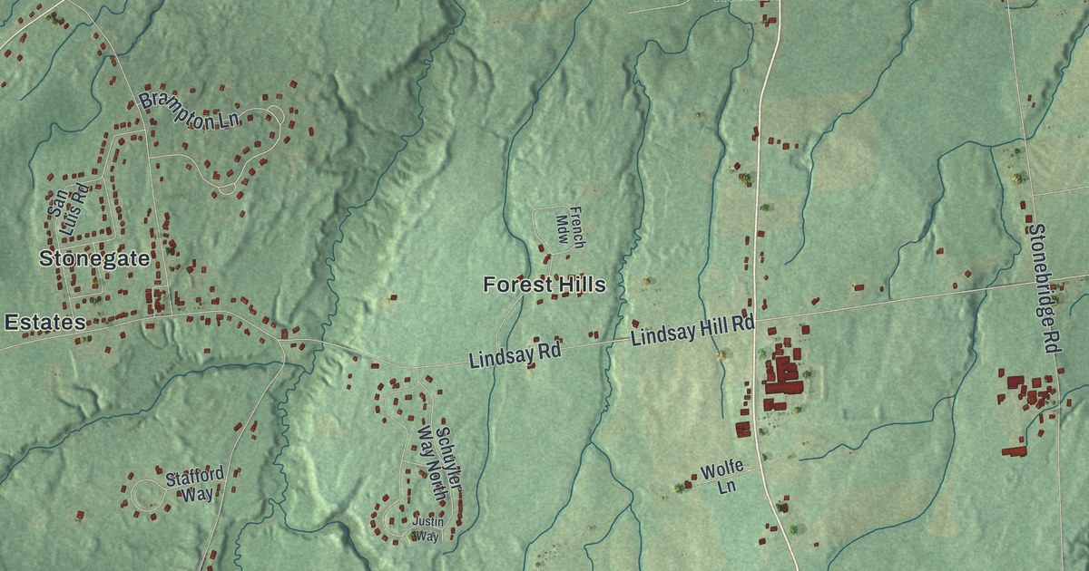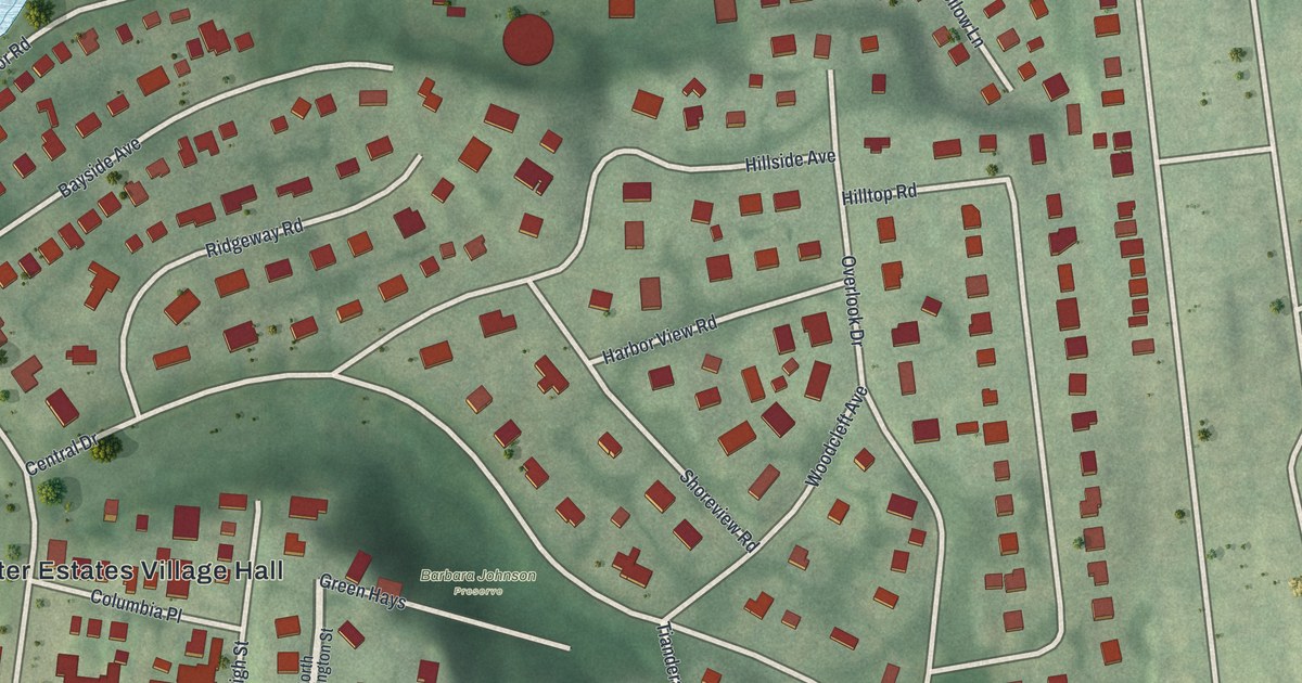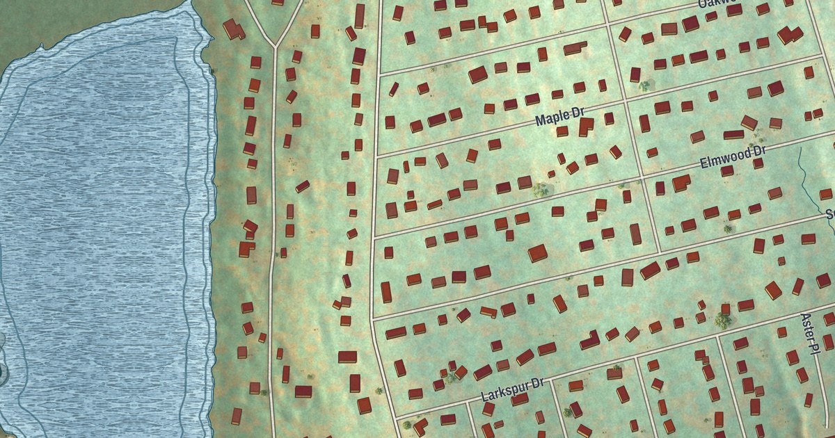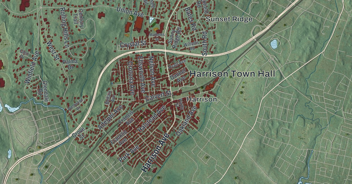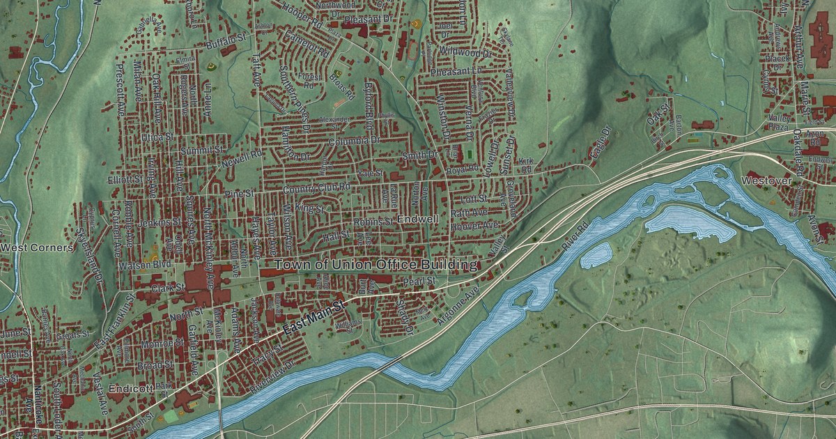
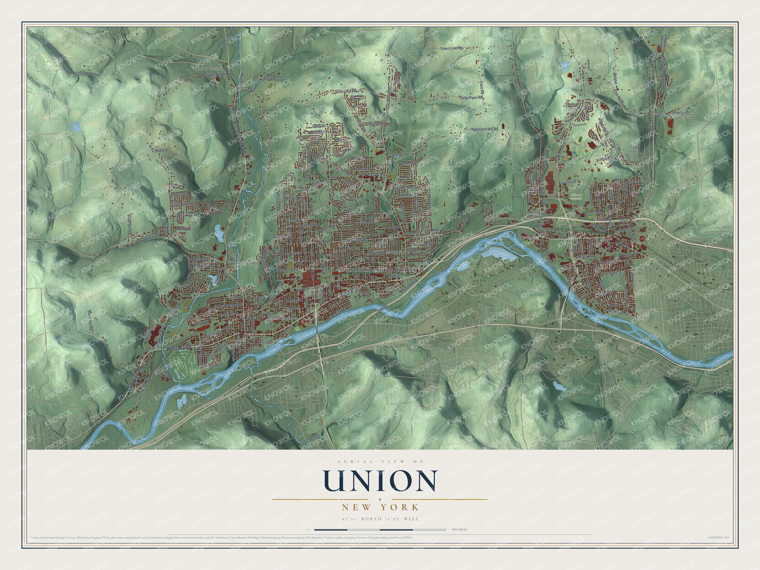
This beautifully detailed map of Union, New York was created in 2026 using aerial imagery combined with modern topographical, census, street and landmark data. It’s a one-of-a-kind view of Union that combines accurate data with a vintage aesthetic. The map shows every building in its true location, many of the roads carry their names, and the shaded topographic relief shows the shape of the land.
Explore an aerial view of Union, New York
On the map you’ll find Choconut Center, Johnson City, Union Center, Westover, Endicott, and Calvary Cemetery, along with Main Street, Union Center Maine Highway, Campville Road, Nanticoke Avenue, Country Club Road, and more. If you look closely you can even find your house accurately drawn in its correct location. Zoom in on the preview to look for yours.
Did You Know?
Union got its name from a meeting of two armies in 1779. On August 18, General Clinton’s troops came down the Susquehanna and joined General Poor’s forces of the Sullivan Expedition. The town was formed in 1791, while still in Tioga County. It later gave up land to create Lisle, Vestal and other towns.
Take a closer look at the Union map
Names on this map
These names are printed on this map.
Places: Town of Union Office Building, Choconut Center, Johnson City, Union Center, Westover, Calvary Cemetery, Endicott, Endwell and West Corners.
Streets and roads: East Main Street, Union Center Maine Highway, Main Street, Campville Road, West Main Street, Country Club Road, Hayes Avenue, Holly Lane, Nanticoke Drive, Farm To Market Road, North McKinley Avenue, Perimeter Road East.
More street names, A to Z
Academy Street, Ackley Avenue, Adams Avenue, Airport Access Road, Airport Road, Albany Avenue, Alexander Street, Alice Avenue, Allen Street, Andrews Avenue, Anna Maria Drive, Anne Lane, Anson Road, Arbor Drive, Arch Street, Argonne Avenue, Argyle Drive, Arnold Drive, Arthur Avenue, Ashton Court, Avon Street, Azon Road, Badger Avenue, Baker Street, Barnes Avenue, Barton Avenue, Bassett Avenue, Bean Hill Road, Bernard Boulevard, Bernice Street, Betty Street, Birch Street, Boland Drive, Bornt Hill Road, Boswell Hill Road, Bradley Creek Road, Briar Lane, Broad Street, Broas Road, Brown Street, Buffalo Street, Burbank Avenue, Burt Avenue, Byford Boulevard, Camden Street, Camelot Road, Carl Street, Carlton Street, Carol Court, Carrie Ann Drive, Case Road, Chrysler Road, Church Street, Clarence Drive, Clark Street, Clearview Drive, Columbia Drive, Cook Street, Corliss Avenue, Cornell Avenue, Cornell Hollow Road, Country Knoll Drive, Crestview Drive, Cummings Road, Cyndy Street, Cyprus Lane, David Drive, Davis Avenue, Day Hollow Road, Debonair Drive, Dedrick Avenue, Delaware Avenue, Dellapenna Drive, Dewitt Street, Deyo Hill Road, Dickson Street, Dimmock Hill Road, Donna Avenue, Eagle Drive, East Franklin Street, East Maine Road, East Valley Street, Echo Lane, Edson Road, Elliott Street, Elmira Street, Elton Drive, Endicott Avenue, Endwell Street, Enid Place, Eric Drive, Ethel Street, Exchange Avenue, Fairview Street, Farr Avenue, Felicia Boulevard, Field Street, Fifth Street, Fillmore Avenue, First Street, Floral Avenue, Ford Road, Forest Road, Fourth Street, Fowler Avenue, Foxboro Lane, Frazier Drive, Frey Avenue, Gabriella Avenue, Gannett Drive, Garfield Avenue, Glendale Drive, Grand Avenue, Grant Street, Groats Street, Groveland Avenue, Hall Street, Hamilton Drive, Harpur Drive, Harvard Street, Hazel Avenue, Hill Avenue, Hillside Terrace, Hooper Road, Hoover Avenue, Hudson Street, Industrial Park Boulevard, Irving Avenue, Ivy Place, Jackson Avenue, Jay Street, Jenkins Street, Jennifer Lane, Jennings Street, Joel Drive, Jon Lane, June Street, Kevin Boulevard, King Street, Kirk Road, Kot Road, Laguna Drive, La Rue Avenue, Laurelton Drive, Lee Avenue, Lee Circle, Leigh Street, Leon Drive, Lester Avenue, Lewis Road, Lindburgh Street, Lott Street, Lowell Drive, Lower Stella Ireland Road, Maple Street, Marcella Street, Margaret Street, Marie Street, Marion Street, Martin Street, McKinley Avenue, Mechanic Avenue, Mersereau Avenue, Metz Avenue, Middle Stella Ireland Road, Milan Avenue, Mill Gln, Mills Avenue, Miner Circle, Monroe Street, Morlando Drive, Myrtle Avenue, Nanticoke Avenue, Neal Road, Nelson Road, Newell Road, North Arthur Avenue, North Broad Street, North Harrison Street, North Oak Avenue, North Rogers Avenue, North Street, Northwood Drive, Norton Avenue, Oakdale Road, Oak Hill Avenue, Oak Street, Oday Drive, Odell Avenue, Olive Street, Orchard Avenue, Oscar Terrace, Park Street, Partridge Place, Paul Street, Payne Road, Pearl Street, Penna Road, Perimeter Road West, Pheasant Lane, Phyllis Street, Pine Street, Pinewood Place, Placek Drive, Plaza Drive, Pleasant Drive, Pratt Avenue, Prescott Avenue, Rath Avenue, Reynolds Road, Rhodes Road, Riale Avenue, Richard Street, River Road, Riverside Drive, River Terrace, Riverview Drive, Robble Avenue, Robinson Hill Road, Robins Street, Rose Lane, Royal Road, Saint Charles Street, Sally Piper Road, Sarah Lane, Schuyler Street, Service Road, Shady Drive, Shale Drive, Shelby Street, Simon Drive, Skye Island Drive, Skylane Terrace, Smith Drive, Southern Pines Drive, South Grippen Avenue, South Loder Avenue, South Street, Springview Drive, Squires Avenue, Struble Road, Summit Street, Sunset Drive, Taft Avenue, Talan Drive, Taylor Avenue, Theron Street, Town Line Road, Tracy Street, Twist Run Road, Union Street, Utica Street, Valley Plaza, Valley Street, Valleyview Drive, Ventura Boulevard, Verna Drive, Vestal Avenue, Village Drive, Virginia Avenue, Wallace Street, Watson Boulevard, West Street, West Wendell Street, Wildwood Drive, Williams Street, Willow Street, Wilma Street, Wilson Avenue, Winston Drive, Wren Street, Yale Street, Zeggert Road, Zoa Avenue.
See it on a wall
The Union map as a framed print. Swipe for more.


This beautifully detailed map of Union makes an attractive addition to your office, library, or den, and it can even be used to teach children the geography and history of the area. It also makes a great gift for someone who left Union and still calls it home. When you’re done exploring, click here to get your copy of the Union map.