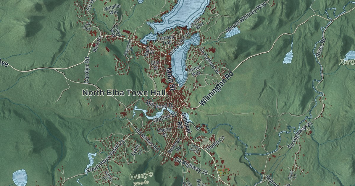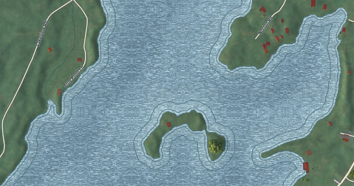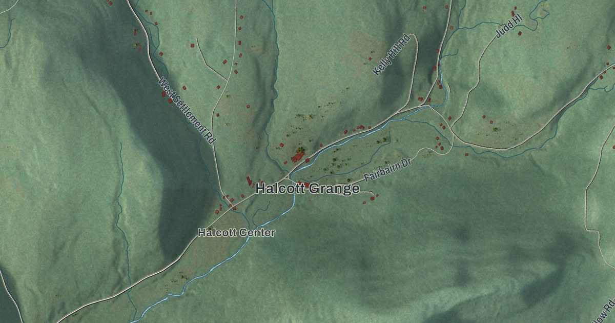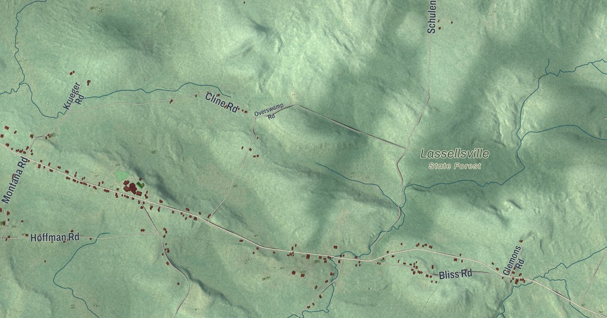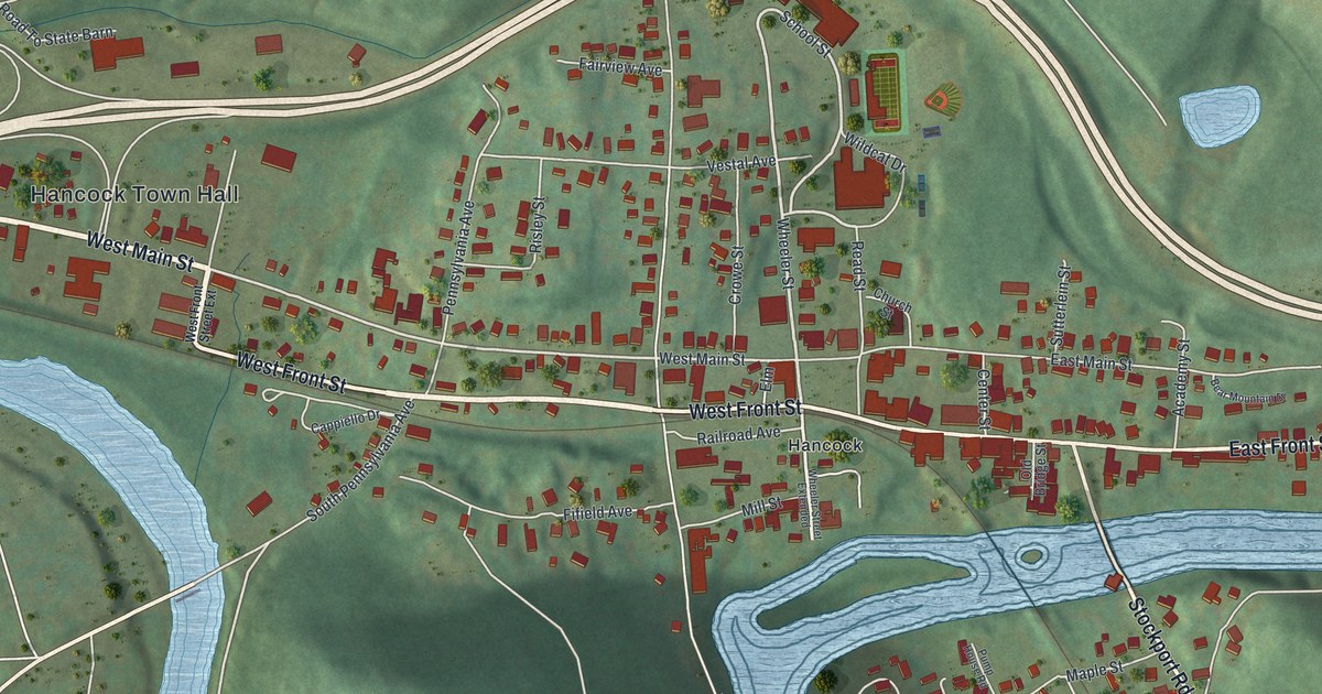
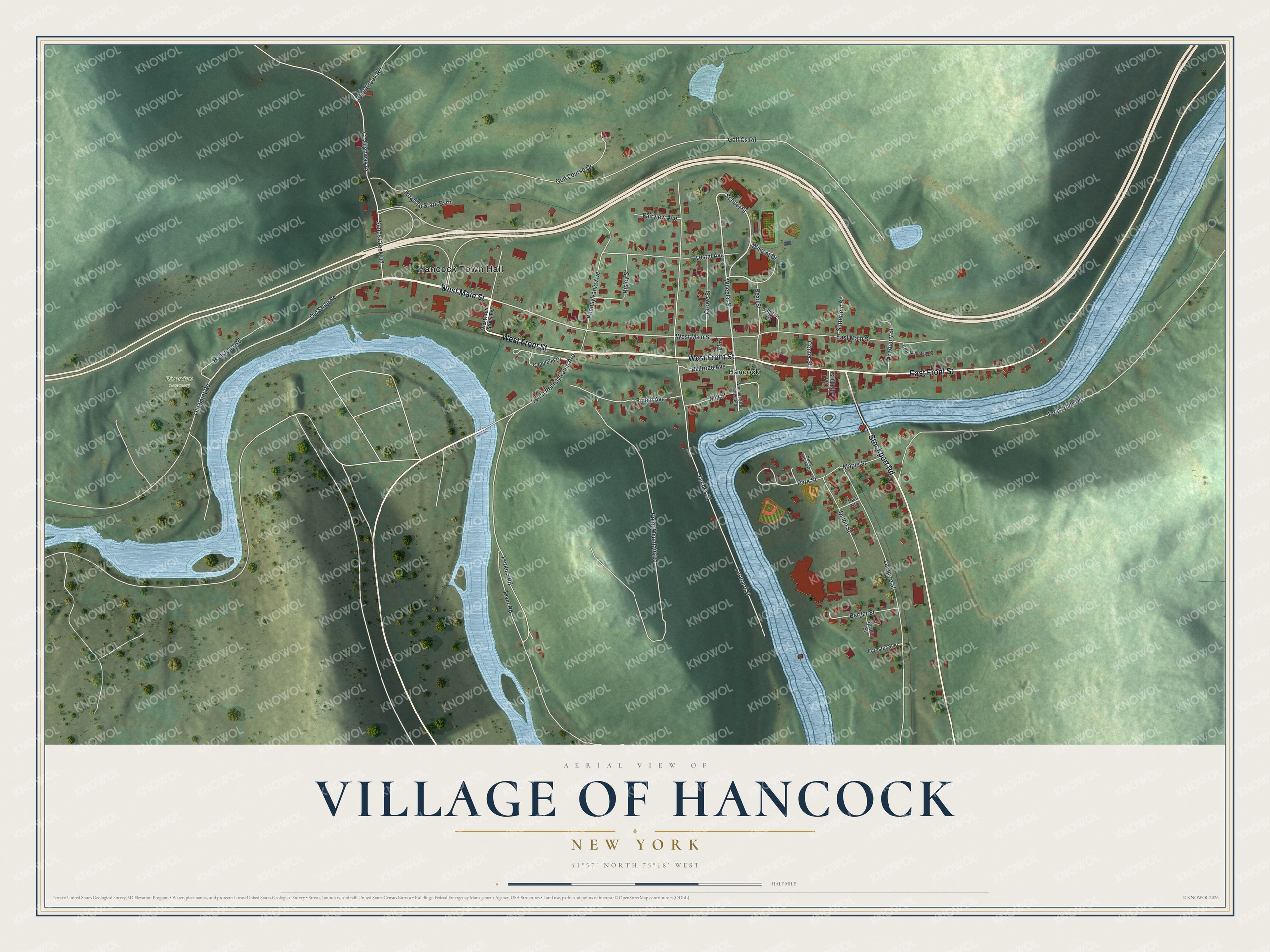
This beautifully detailed map of the Village of Hancock, New York was created in 2026 using aerial imagery combined with modern topographical, census, street and landmark data. It’s a one-of-a-kind view of the Village of Hancock that combines accurate data with a vintage aesthetic. The map shows every building in its true location, many of the roads carry their names, and the shaded topographic relief shows the shape of the land.
Explore an aerial view of the Village of Hancock, New York
On the map you’ll find Hancock Town Hall, West Front Street Extension, and Riverview Cemetery, along with Main Street, Front Street, Stockport Road, and more. If you look closely you can even find your house accurately drawn in its correct location. Zoom in on the preview to look for yours.
Did You Know?
Hancock sits where two branches of the Delaware River, the East and the West, join. The village grew important mainly because of the Erie Railroad, which arrived in 1848. The rails remain in use today, but only a few freight trains come each week.
Take a closer look at the Village of Hancock map
Names on this map
These names are printed on this map.
Places: Hancock Town Hall, Riverview Cemetery and Hancock.
Streets and roads: West Main Street, West Front Street, East Front Street, Stockport Road, Old State Road, Wheeler Street, School Street, Old Saint Road, River Road, Pennsylvania Avenue, Golf Cs Road, Leonard Street.
More street names, A to Z
Academy Street, Bear Brook Road, Bear Mountain Drive, Berger Street, Cappiello Drive, Center Street, Church Street, County Highway 67, Cross Street, Crowe Street, Dillon Street, East Main Street, Elm, Fairview Avenue, Fifield Avenue, Forester Boulevard, Golf Course Drive, Hallstead Road, La Barre Street, Maple Street, Mill Street, Old Bridge Street, Park Street, Peas Eddy Road, Perkins Road, Point Mountain Road, Pump House Road, Railroad Avenue, Read Street, Risley Street, Road To State Barn, Sands Creek Road, South Pennsylvania Avenue, Spruce Street, Sutterlein Street, Vestal Avenue, West Front Street Extension, Wheeler Street Extended, Wildcat Drive, Yendes Street.
See it on a wall
The Hancock map as a framed print. Swipe for more.


This beautifully detailed map of the Village of Hancock makes an attractive addition to your office, library, or den, and it can even be used to teach children the geography and history of the area. It also makes a great gift for someone who left the Village of Hancock and still calls it home. When you’re done exploring, click here to get your copy of the Village of Hancock map.