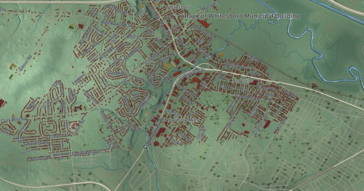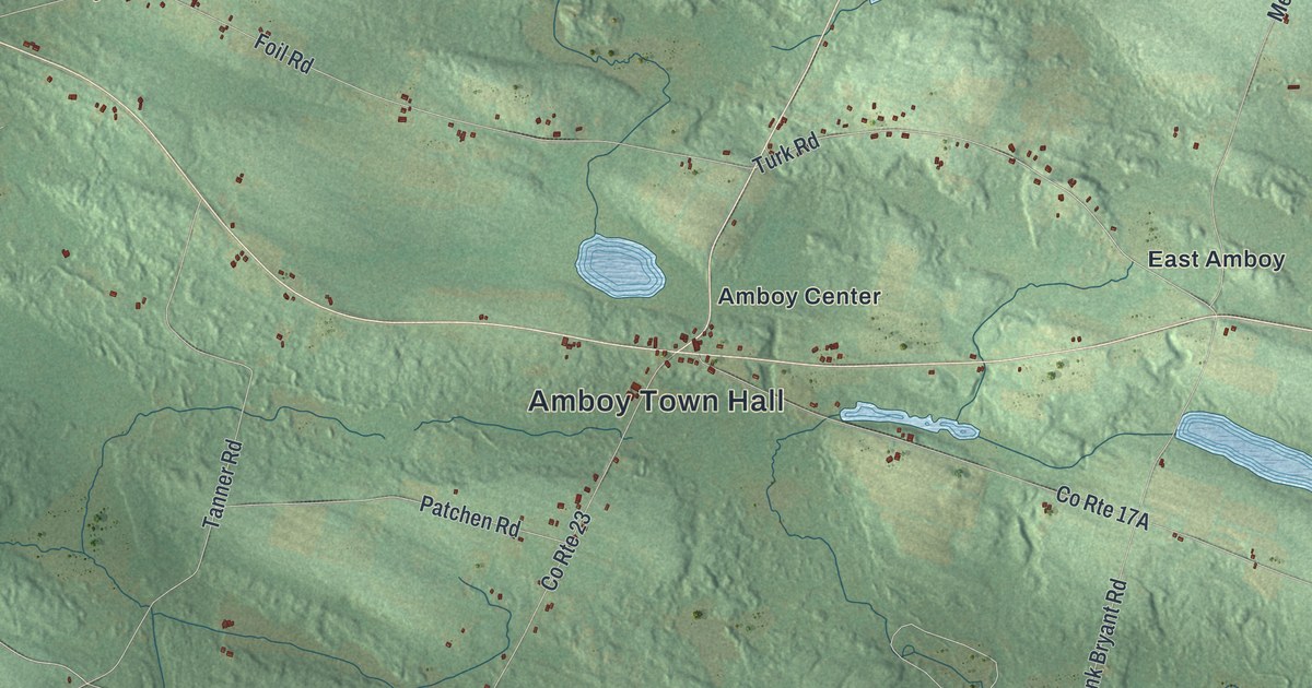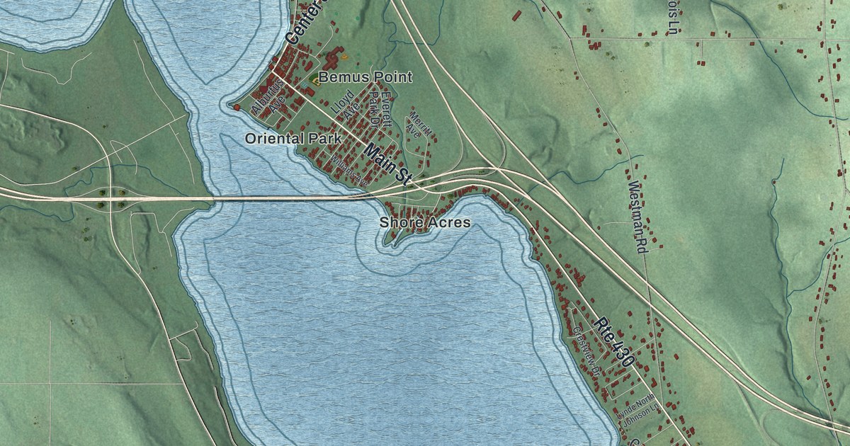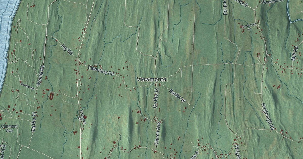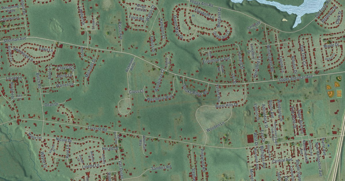
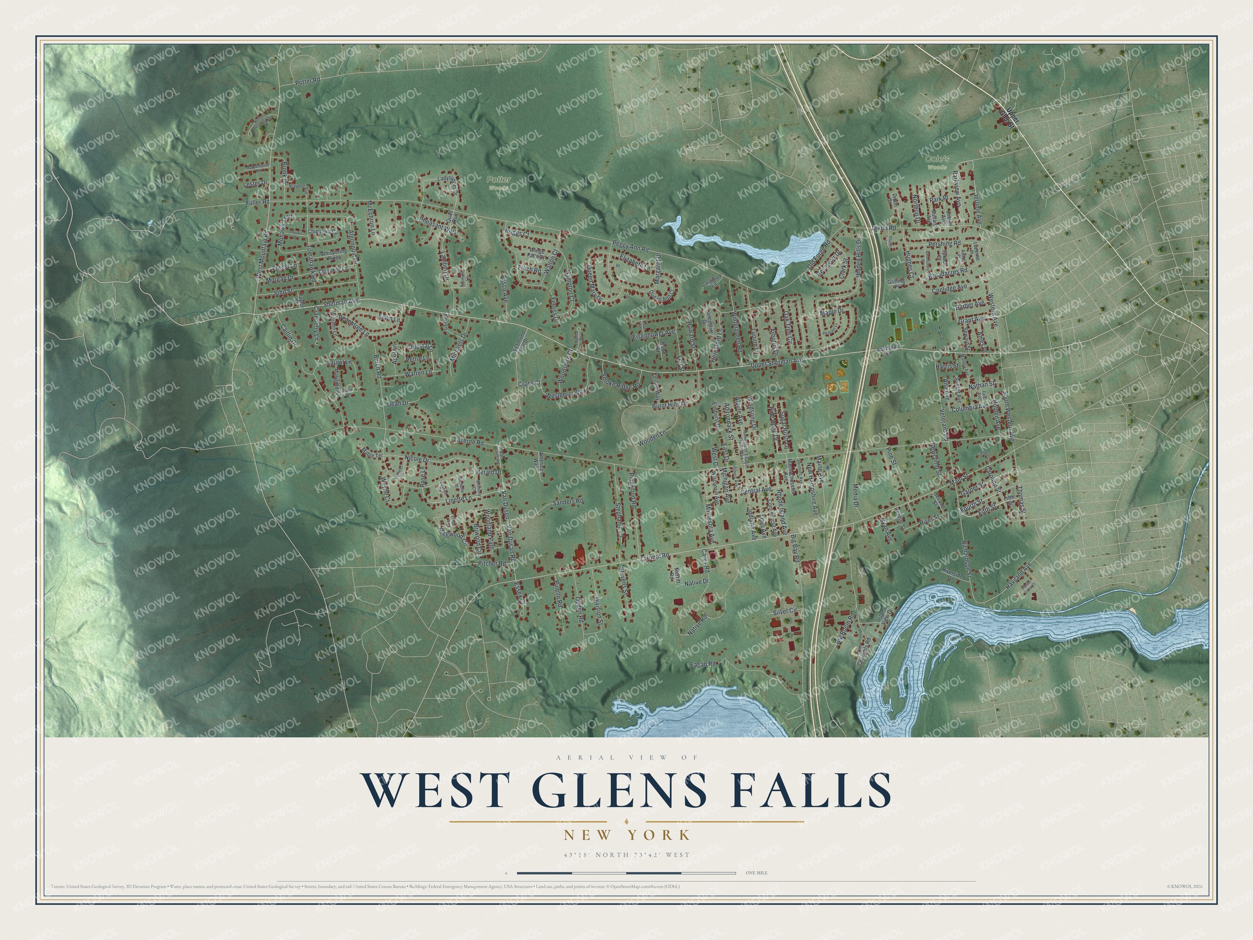
This beautifully detailed map of West Glens Falls, New York was created in 2026 using aerial imagery combined with modern topographical, census, street and landmark data. It’s a one-of-a-kind view of West Glens Falls that combines accurate data with a vintage aesthetic. The map shows every building in its true location, many of the roads carry their names, and the shaded topographic relief shows the shape of the land.
Explore an aerial view of West Glens Falls, New York
On the map you’ll find Upper Glen Street, Upper Sherman Avenue, Parkview Avenue, Jerome Avenue, Warren Lane, and more. If you look closely you can even find your house accurately drawn in its correct location. Zoom in on the preview to look for yours.
Take a closer look at the West Glens Falls map
Names on this map
These names are printed on this map.
Places: Cole's Woods, Potter Woods and Homestead Village Trailer Park.
Streets and roads: Upper Sherman Avenue, Parkview Avenue, Jerome Avenue, Warren Lane, Chrystal Lane, Fifth Street, Fourth Street, Linette Lane, Pine Cone Drive, Grant Avenue, Nicole Drive, Haviland Avenue.
More street names, A to Z
Adirondack Street, Algonquin Drive, Allen Lane, Alpine Avenue, Alta Avenue, American Way, Ames Place, Amy Lane, Anthony Court, Applehouse Road, April Lane, Arbutus Drive, Ashley Place, Autumn Lane, Barber Avenue, Big Bay Road, Big Boom Road, Braydon Avenue, Briggs Court, Briwood Circle, Broadacres Road, Bronk Drive, Bullard Avenue, Burch Road, Burnt Hills Drive, Caitlin Drive, Cardinale Lane, Carey Road, Caroline Street, Central Avenue, Cherokee Lane, Chippewa Circle, Clark Street, Columbia Avenue, Connecticut Avenue, Coolidge Avenue, Corinth Road, Cranberry Lane, Cross Court, Dawn Road, Dean Drive, Depalo Lane, Division Street, Dixon Court, Dixon Road, Eagan Road, East Drive, Eisenhower Avenue, Elizabeth Lane, Elmhurst Drive, Essex Court, Evanna Drive, Fawn Lane, Feeder Canal Court, Feld Avenue, Ferriss Drive, Finch Road, Forest Lane, Fuller Road, Garner Street, Gregwood Circle, Griffing Place, Hampton Court, Harris Street, Herald Drive, Heresford Lane, Hidden Hills Drive, Holden Avenue, Howard Street, Hughes Court, Illinois Avenue, Indiana Avenue, Iroquois Drive, Island View Drive, John Street, Joseph Court, Kylians Way, Ladyslipper Drive, Lambert Drive, Lancestire Drive, Laurel Lane, Leo Street, Lester Drive, Lidia Lane, Linden Avenue, Lupine Lane, Luzerne Place, Luzerne Road, Mable Terrace, Maine Avenue, Main Street, Mallory Avenue, Maple Drive, Margaret Drive, Marigold Drive, Massachusetts Avenue, McEchron Lane, Media Drive, Merritt Road, Michaels Drive, Michelle Court, Michigan Avenue, Minnesota Avenue, Mohawk Trail, Morgan Drive, Nathan Street, Native Drive, Native Road, Newcomb Street, New Hampshire Avenue, Northup Drive, Northway Lane, Oak Tree Circle, Ogden Road, Ohio Avenue, Old Forge Road, Park Place, Pasco Avenue, Peachtree Lane, Peggy Ann Road, Pershing Road, Petrie Lane, Pheasant Walk, Pinello Road, Pine Street, Pinewood Road, Pitcher Road, Pleasant Lane, Potter Road, Quail Run, Queen Ann Court, Queen Mary Drive, Queensbury Place, Ralph Road, Reservoir Drive, Rhode Island Avenue, Richardson Street, Richmond Hill Drive, Riverside Drive, River Street, Rose Lane, Rozelle Street, Ryan Avenue, Sanders Road, Second Street, Seward Street, Sherman Avenue, Silver Circle, Smoke Ridge Road, South Western Avenue, Spruce Court, Stephanie Lane, Stevens Street, Sugar Bush Lane, Sunset Avenue, Taylor Street, Thomas Street, Timber Lane, Timmons Lane, Tomahawk Road, Twin Channels Road, Upper Glen Street, Van Dusan Road, Van Dusen, Van Dusen Road, Vermont Avenue, Veterans Road, Vincent Place, Walton Court, Wayne Court, Westberry Way, West Drive, Western Avenue, Western Reserve Trail, West Mountain Road, Whispering Pines, Windsong Drive, Wings Falls Court, Wintergreen Road, Wisconsin Avenue, Wooden Lane, Woodland Path, Woodshire Court.
See it on a wall
The West Glens Falls map as a framed print. Swipe for more.


This beautifully detailed map of West Glens Falls makes an attractive addition to your office, library, or den, and it can even be used to teach children the geography and history of the area. It also makes a great gift for someone who left West Glens Falls and still calls it home. When you’re done exploring, click here to get your copy of the West Glens Falls map.