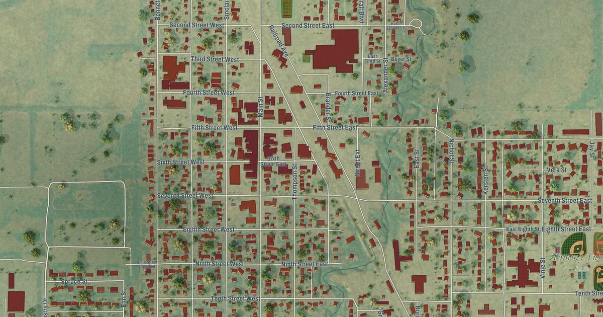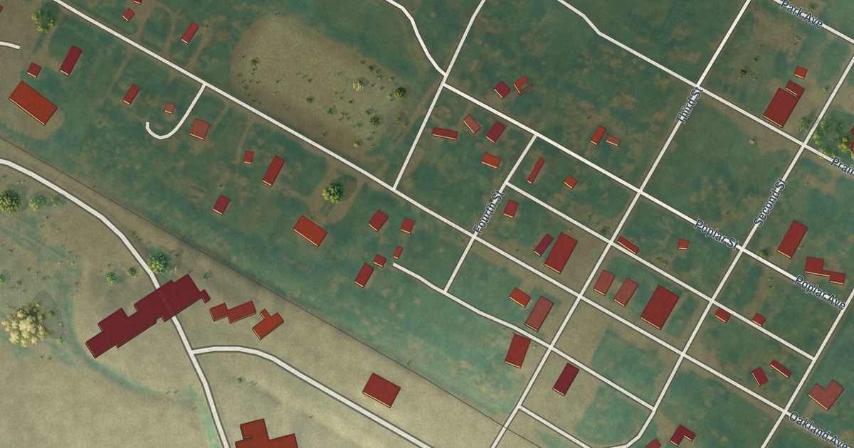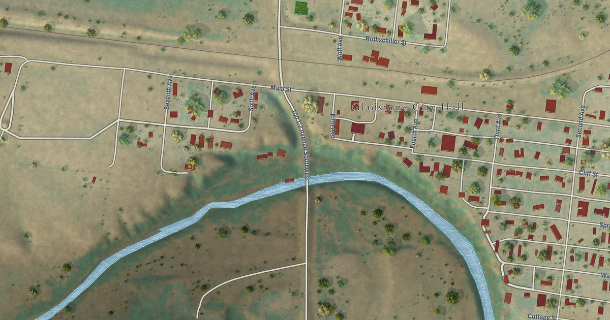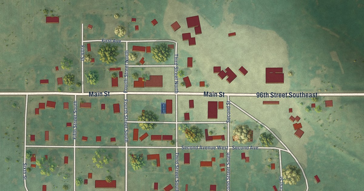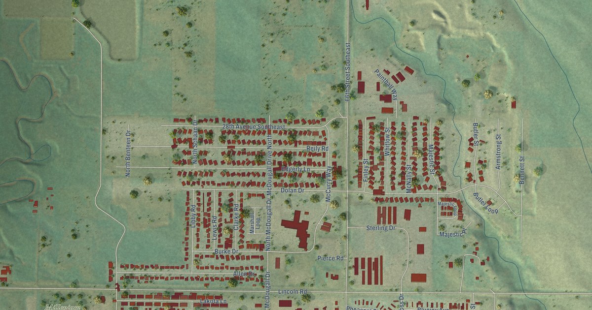
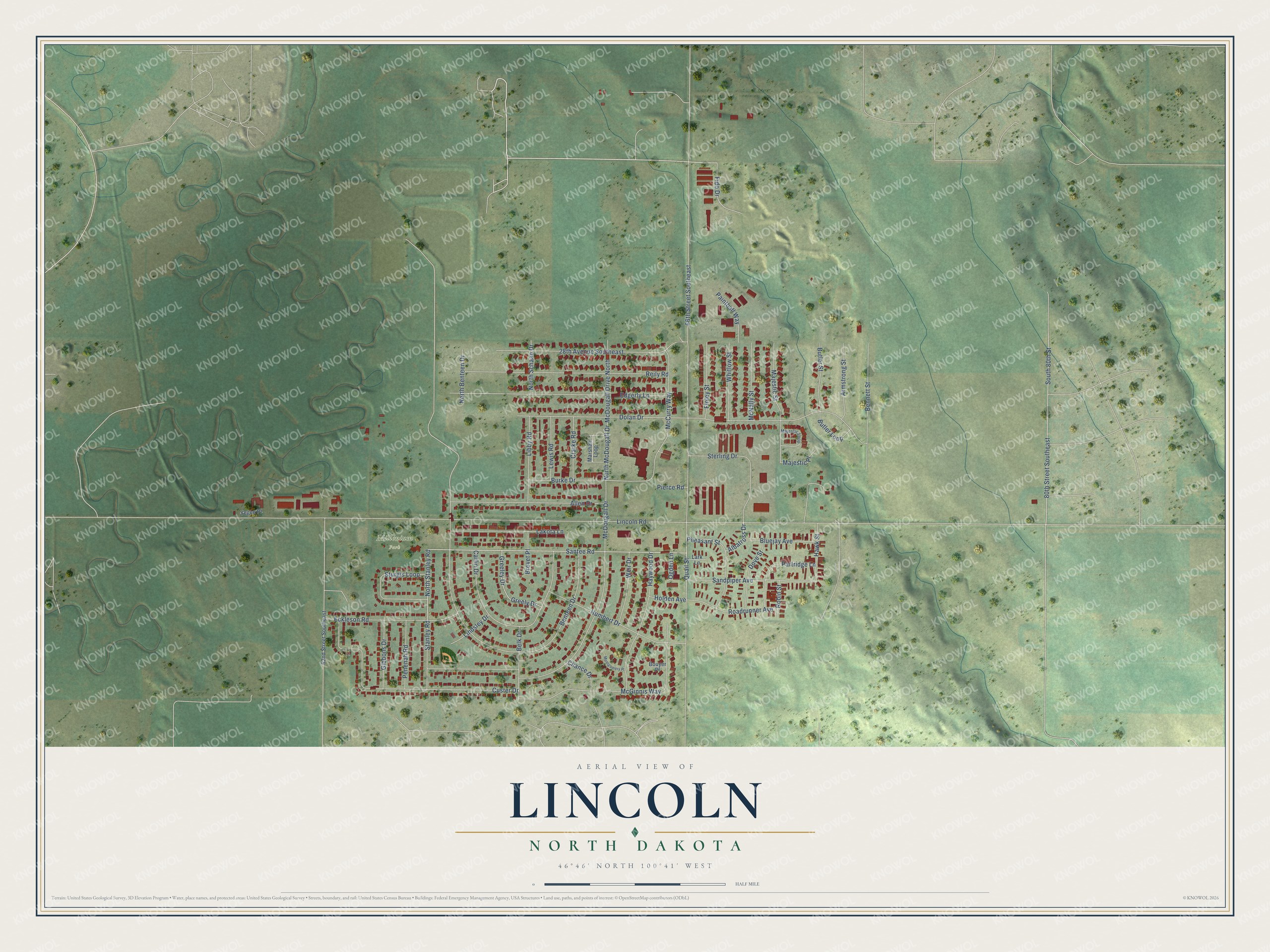
This beautifully detailed map of Lincoln, North Dakota was created in 2026 using aerial imagery combined with modern topographical, census, street and landmark data. It's a modern aerial view of Lincoln in Burleigh County, North Dakota, that combines modern data with a vintage aesthetic. The roads feature printed names, and if you look closely you can find your exact house accurately shown in its correct location.
Explore an aerial view of Lincoln, North Dakota
On this map you'll find Millenium Park, Quail Street, Santee Road, North Stanley Road, North McDougall Drive, Sandpiper Avenue, Lincoln Road, 66th Street Southeast, Benteen Drive, Dolan Drive, McDougall Drive, Custer Drive, and more. Each red shape is a building, so zoom in on the preview and look for yours.
Every town has a first chapter, and Lincoln is no exception. The Sweetgrass Communications puts it this way: "The residents chose to incorporate as a city in 1977, shortening the name to Lincoln at that time. Warren Enyart was elected as the first mayor, and the city reported a population of 657 in 1980."
Lincoln is a city in Burleigh County. The Census Bureau counted 4,257 people here in 2020.
Take a closer look at the Lincoln map
Names on this map
These names are printed on this map.
Places: Millenium Park.
Streets and roads: Quail Street, Santee Road, North Stanley Road, North McDougall Drive, Sandpiper Avenue, Lincoln Road, 66th Street Southeast, Benteen Drive, Dolan Drive, McDougall Drive, Custer Drive, Edgerly Lane.
More street names, A to Z
28th Avenue Southeast, 52nd Street Southeast, 80th Street Southeast, Albatross Drive, Allen Drive, Armstrong Street, Belk Drive, Bennett Street, Bluejay Avenue, Bouyer Place, Brevet Place, Burke Drive, Butler Loop, Butler Street, Carlin Drive, Chance Drive, Clarke Road, Dove Street, Eckleson Road, Fido Drive, Finley Street, Gibbons Drive, Greeley Drive, Greely Drive, Hawk Street, Haywood Drive, Holden Avenue, Humbert Drive, Lakota Lane, Lark Lane, Lewis Road, Libby Road, Lindsley Drive, Majestic Loop, Majestic Place, Majestic Street, Marshall Loop, McCurry Way, McDougall Drive North, McGinnis Way, McNally Street, Montgomery Place, North Benteen Drive, North Schaan Drive, Ogden Lane, Paintball Way, Partridge Lane, Penenah Road, Pheasant Street, Pierce Road, Reily Road, Roadrunner Avenue, Robin Street, South 80th Street, Stanley Road, Sterling Drive, Sturgis Loop, Weir Drive, Whitlow Street, Yegen Place.
See it on a wall
The Lincoln map as a framed print. Swipe for more.


Created by KNOWOL in 2026. The buildings are small red shapes, the roads carry their printed names, and shaded relief shows the shape of the land. The title panel reads "AERIAL VIEW OF LINCOLN, NORTH DAKOTA" with 46°46' NORTH 100°41' WEST.
Hang it in the hallway, the office or the cabin, or give it to someone who left Lincoln and still calls it home. Open the preview and look for a street you know. See sizes and frames for the Lincoln map.