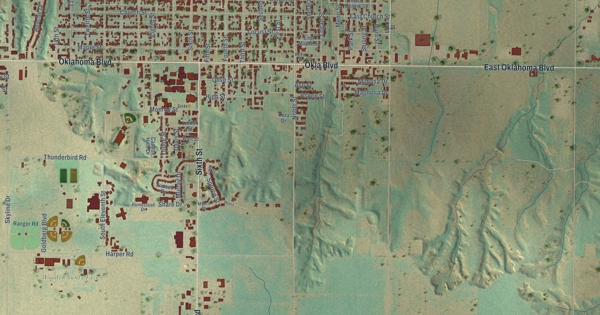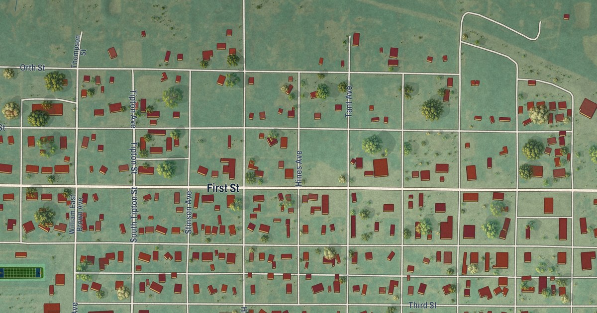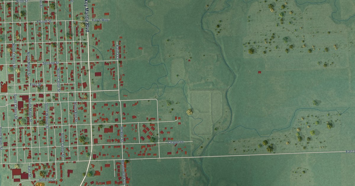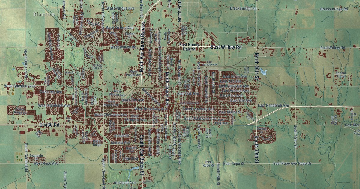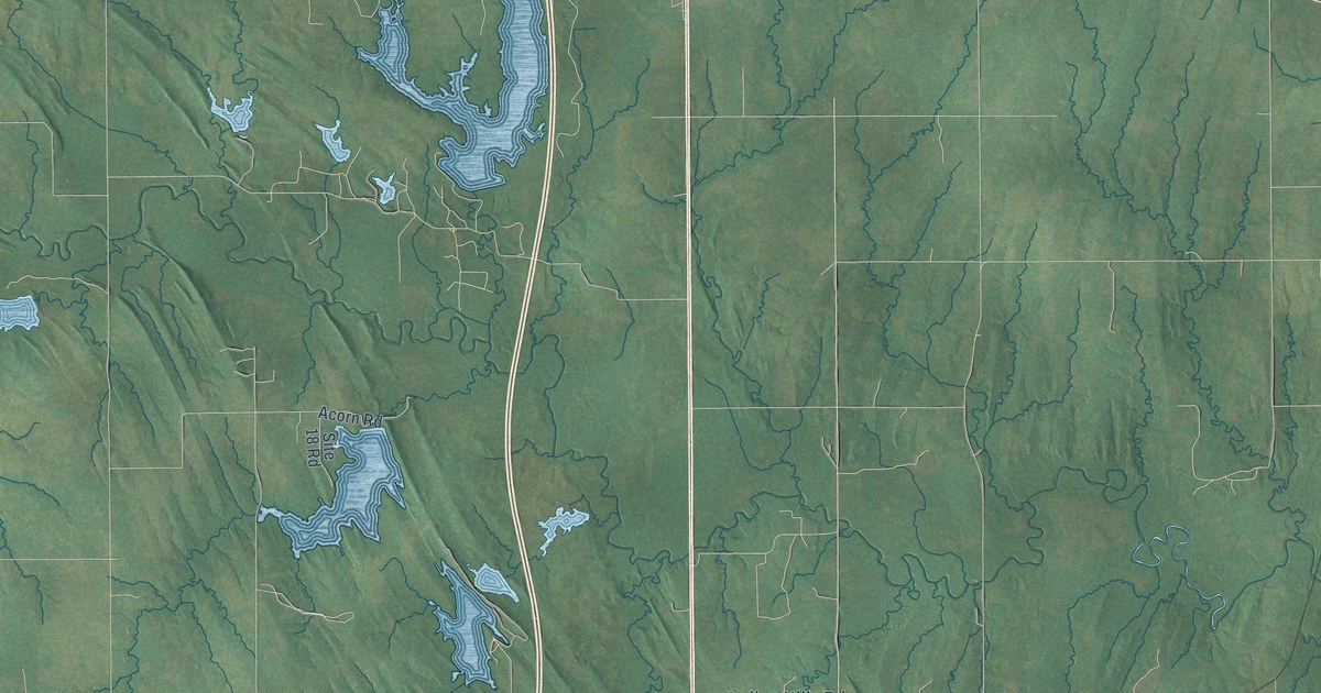
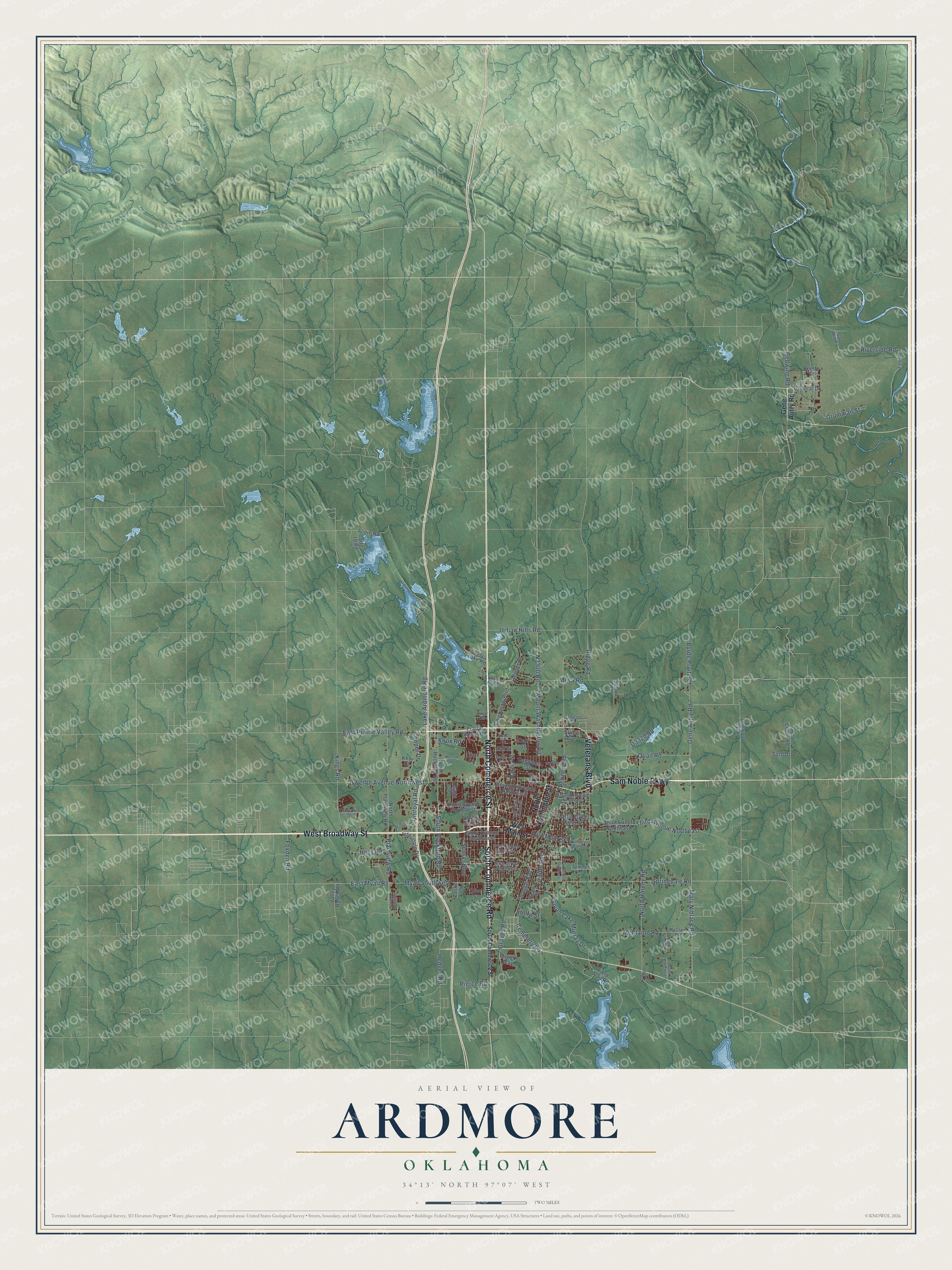
This beautifully detailed map of Ardmore, Oklahoma was created in 2026 using aerial imagery combined with modern topographical, census, street and landmark data. It's a modern aerial view of Ardmore in Carter County, Oklahoma, that combines modern data with a vintage aesthetic. The roads feature printed names, and if you look closely you can find your exact house accurately shown in its correct location.
Explore an aerial view of Ardmore, Oklahoma
On this map you'll find West Broadway Street, North Commerce Street, Sam Noble Parkway, South Commerce Road, Veterans Boulevard, Mary Niblack Road, Gene Autry Road, East Myall Road, Cemetery Road, Myall Southwest, Third Avenue Northeast, Knox Road, and more. Each red shape is a building, so zoom in on the preview and look for yours.
Every town has a first chapter, and Ardmore is no exception. The record at okhistory.org puts it this way: "A Santa Fe crew foreman, previously been employed by the Pennsylvania Railroad, suggested the name."
Ardmore is a city in Carter County.
Take a closer look at the Ardmore map
Names on this map
These names are printed on this map.
Streets and roads: West Broadway Street, North Commerce Street, Sam Noble Parkway, South Commerce Road, Veterans Boulevard, Mary Niblack Road, Gene Autry Road, East Myall Road, Cemetery Road, Myall Southwest, Third Avenue Northeast, Knox Road.
More street names, A to Z
Acorn Road, Akron Avenue, Ash Street, Beetle Street, Bixby Avenue Southwest, Blue Bell Road, Byrde Pruitt Road, Cameron Street, Campbell Street, Carter Avenue, Chickasaw Boulevard, City Lake Road, Cooper Drive, Country Club Road, Cypert Way, Davis Street, Dogwood Road, Douglas Boulevard, Drew Street Southwest, Dyer Lane, East Gate, East Main Street, East Prairie Valley Road, East Street Northwest, Eleventh Avenue Northeast, Eleventh Avenue Northwest, Field Trail Road, Fourth Avenue Northwest, Fourth Avenue Southwest, Foxden Road, General Drive, Graves Road, Grumman Street, Harris Street, Harvey Road, Heath Street, Hedges Road, Hess Road, Holt Street, Hurst Road, Indian Hills Road, Interstate Drive, Key Drive, Kings Road, Lake Ardmore Road, Laske Lane, Lisa Lane, Locust Street, Martin Luther King Drive, McClaine Road, McClain Road, Merrick Drive, Mesa Road, Michelin, Mount Washington Road, North Harvey Road, North Plainview Road, North Rancho Lane, North Rockford Road, North Washington Street, Oak Street, Olive Street, Osage Street, Park Street Southeast, Pierce Road, Plainview Road, Prairie Valley Road, Quail Road, Red Cedar Road, Redwing Road, Refinery Road, Ridge Road, Riverside Road, Saw Mill Road, Site 18 Road, Sord Drive, South Commerce Street, Southern Hills Drive, South Lake Murray Drive, South Rancho Lane, South Rockford Road, Springdale Road, Stolfa Street, Summer Road, Sunset Boulevard, Sutton Road, Third Street Northeast, Travertine Drive, Turner Drive, Twelfth Avenue Northwest, Uniroyal Road, Valley Ranch Road, West Main Street, White Street Southeast, Woods Lane.
Created by KNOWOL in 2026. The buildings are small red shapes, the roads carry their printed names, and shaded relief shows the shape of the land. The title panel reads "AERIAL VIEW OF ARDMORE OKLAHOMA" with 34°13' NORTH 97°07' WEST.
Hang it in the hallway, the office or the cabin, or give it to someone who left Ardmore and still calls it home. Open the preview and look for a street you know. See sizes and frames for the Ardmore map.