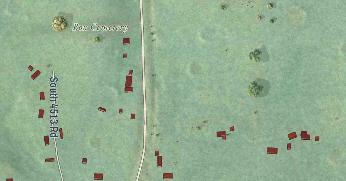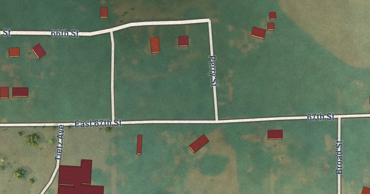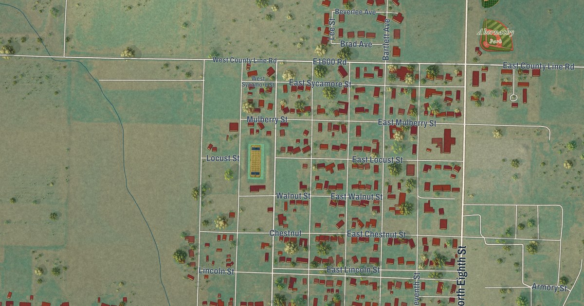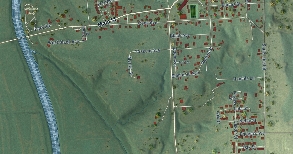
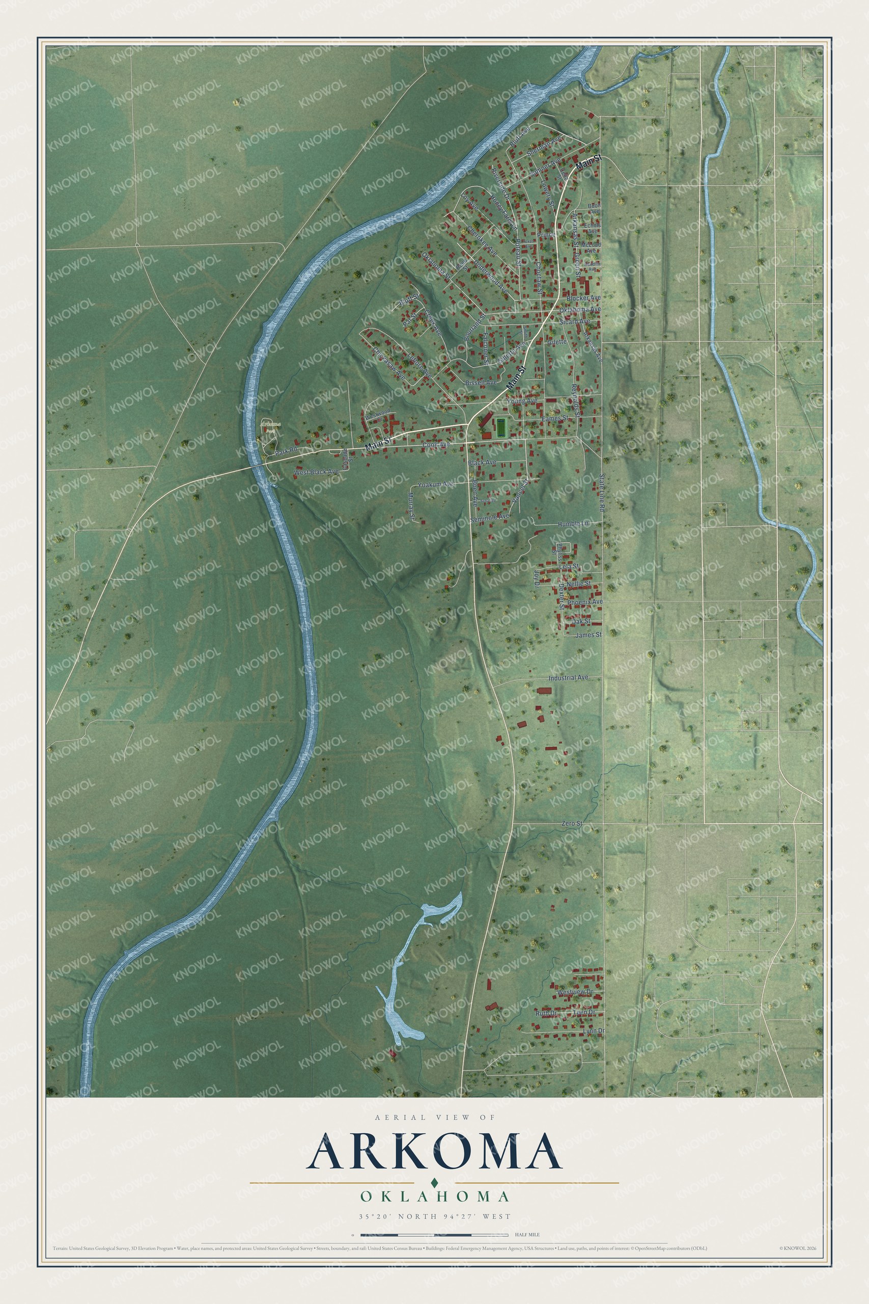
This beautifully detailed map of Arkoma, Oklahoma was created in 2026 using aerial imagery combined with modern topographical, census, street and landmark data. It’s a one-of-a-kind view of Arkoma that combines accurate data with a vintage aesthetic. The map shows every building in its true location, many of the roads carry their names, and the shaded topographic relief shows the shape of the land.
Explore an aerial view of Arkoma, Oklahoma
On the map you’ll find Arkoma Park, along with Main Street, Cook Avenue, Riverside Drive, Poteau Street, Underwood Avenue, Vancel Street, Honey Farm Lane, Bluff Street, Choctaw Street, Bluff Avenue, Sherman Avenue, and more. If you look closely you can even find your house accurately drawn in its correct location. Zoom in on the preview to look for yours.
Did you know this piece of Arkoma, Oklahoma history?
From Okhistory.org: "The town's first high school opened in the 1970s, with its first graduation occurring in 1975."
Arkoma is a town in Le Flore County.
Take a closer look at the Arkoma map
Street and place names on the Arkoma, Oklahoma map
These names are printed on the map of Arkoma, Oklahoma.
Places: Arkoma Park.
Streets and roads: Main Street, Cook Avenue, Riverside Drive, Poteau Street, Underwood Avenue, Vancel Street, Honey Farm Lane, Bluff Street, Choctaw Street, Bluff Avenue, Sherman Avenue, Lela Street.
More street names, A to Z
Arkansas Avenue, Arkansas Street, Bissell Avenue, Black Avenue, Blocker Avenue, Boen Avenue, Boon Avenue, Bourland Street, Cascade Street, Celia Street, Cherokee Avenue, Chickasaw Avenue, Creek Avenue, Dexter Street, Eames Street, Echols Avenue, Falconer Street, Gilette, Gillette Avenue, Green Street, Handlin Avenue, Humble Lane, Industrial Avenue, James Street, Joy Drive, Leflore Avenue, Lowery Street, Loy Avenue, Lynn Drive, McLoud Avenue, Murray Street, Nellie Street, Oak Street, Oklahoma Avenue, Oklahoma Street, Park Road, Pat Street, Phoenix Avenue, Phyliss Street, Prince, Reed Street, Reynolds Street, Ruth Drive, Schafley, Seminole Avenue, Sicard Avenue, Smith Street, State Line Road, Sumner Avenue, Teen Drive, Texas Avenue, West Black Avenue, Westview Drive, Westwood Court, Yoakum Avenue, Young Avenue, Zero Street.
See the Arkoma, Oklahoma map on a wall
The Arkoma map as an 18 x 24 inch print in a black frame.

This beautifully detailed map of Arkoma makes an attractive addition to your office, library, or den, and it can even be used to teach children the geography and history of the area. It also makes a great gift for anyone with Arkoma roots. When you’re done exploring, click here to get your copy of the Arkoma map.