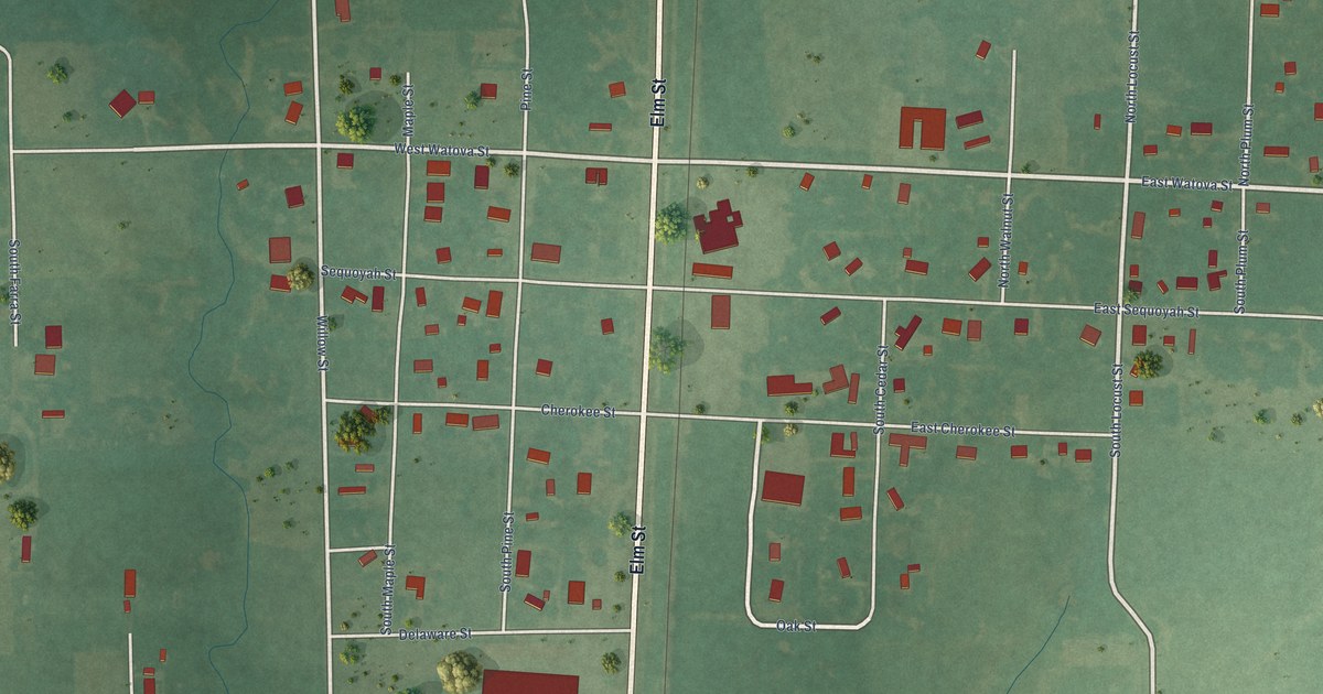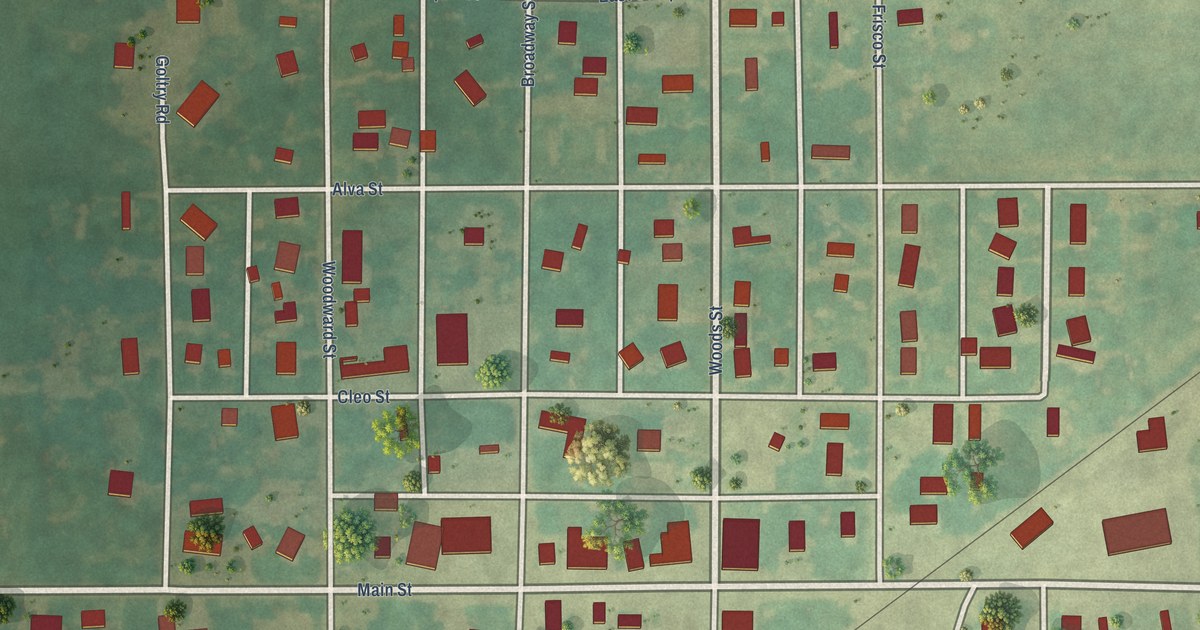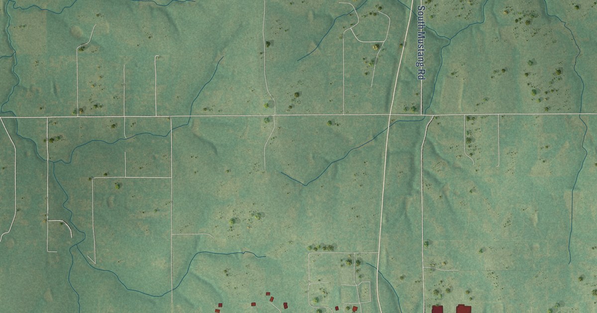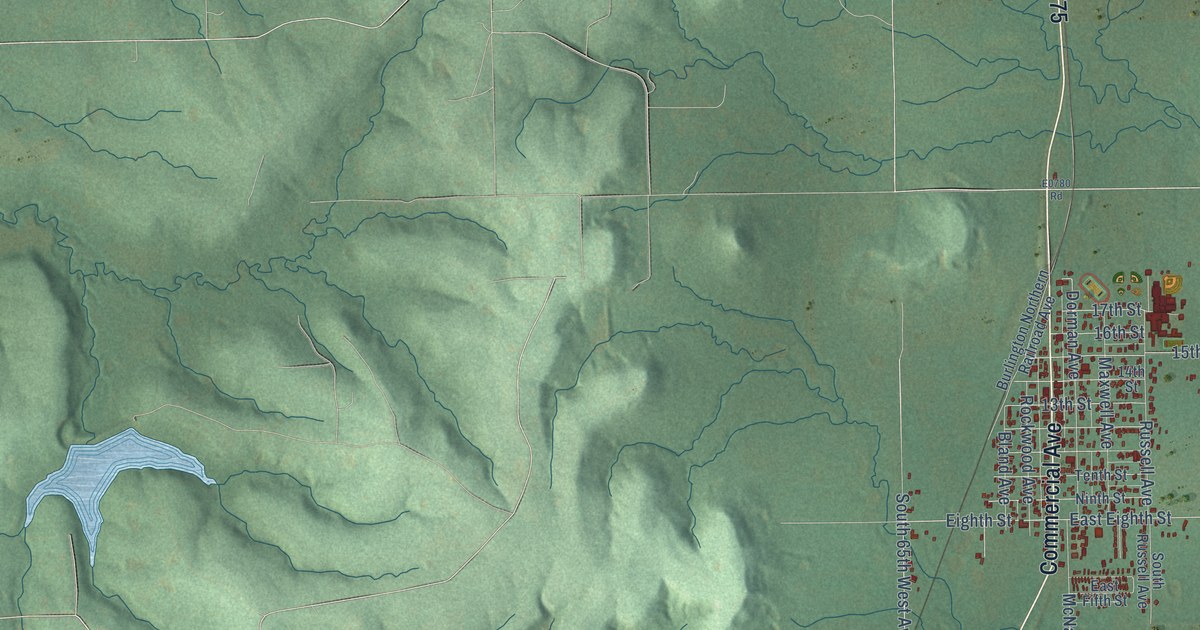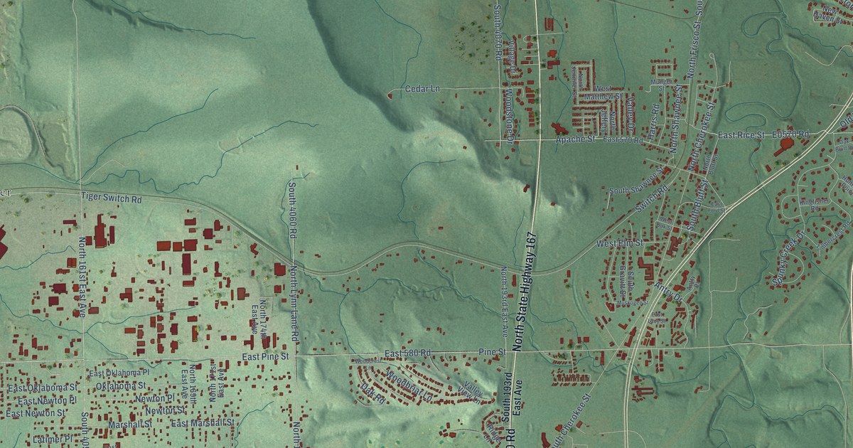
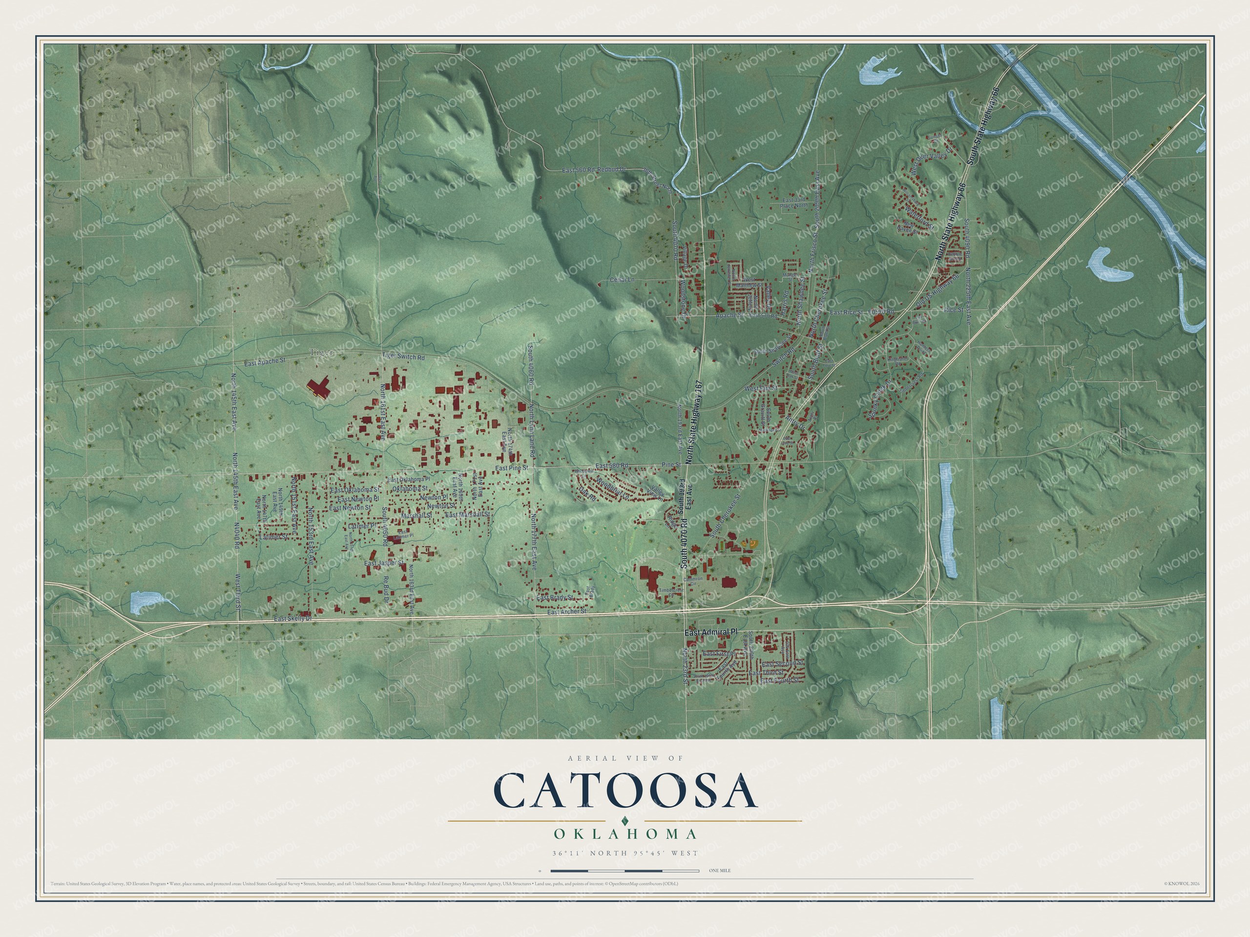
This beautifully detailed map of Catoosa, Oklahoma was created in 2026 using aerial imagery combined with modern topographical, census, street and landmark data. It's a modern aerial view of Catoosa in Rogers County, Oklahoma, that combines modern data with a vintage aesthetic. The roads feature printed names, and if you look closely you can find your exact house accurately shown in its correct location.
Explore an aerial view of Catoosa, Oklahoma
On this map you'll find Tiger, North State Highway 167, East Admiral Place, South State Highway 66, North State Highway 66, South 4070 Road, N4040 Road, West Third Street, East Pine Street, East 580 Road, Pine Street, East Jasper Street, and more. Each red shape is a building, so zoom in on the preview and look for yours.
Here is a piece of Catoosa history, in the words of the record. The record at okhistory.org puts it this way: "The Port of Catoosa Railroad, a short-line system, was built to augment the other transportation options, which included nearby Interstate 44 and the waterway."
Catoosa is a city in Rogers County.
Take a closer look at the Catoosa map
Names on this map
These names are printed on this map.
Places: Tiger.
Streets and roads: North State Highway 167, East Admiral Place, South State Highway 66, North State Highway 66, South 4070 Road, West Third Street, East Pine Street, East 580 Road, Pine Street, East Jasper Street, North 145th East Avenue, North 23rd Street.
More street names, A to Z
36th Street North, 161st Avenue, 204 East Avenue, Antry Drive, Antry Place, Apache Street, Cammron Circle, Cedar Lane, East 33rd Place North, East 560 Road, East 570 Road, East Apache Street, East Archer Street, East Brady, East Brady Street, East First Place, East Ford Street, East Fourth Avenue, East Fourth Street, East Lacy Street, East Latimer Place, East Marshall Street, East Newton Place, East Newton Street, East Oklahoma Place, East Oklahoma Street, East Rice Street, East Second Street, East Skelly Drive, East Third Street, Harris Road, Hunters Point, Kingfisher Road, Latimer Place, Latimer Street, Marshall Street, Munger Street, Muskogee Street, New Haven Street, Newton Place, Newton Street, North 147th East Avenue, North 149th East Avenue, North 151st East Avenue, North 153rd East Avenue, North 157th East Avenue, North 161st East Avenue, North 163rd East Avenue, North 169th East Avenue, North 171st East Avenue, North 174th East Avenue, North 177th East Avenue, North 193rd East Avenue, North 225th East Avenue, North Bluff Street, North Cherokee Street, North Frisco Street, North Jeffery, North Jennifer Street, North Lynn Lane Road, North Shawnee Street, Oak Bluff Road, Oak Road, Oklahoma Street, Old US Highway 66, Pebble Brook, Re Bud Drive, Redbud Drive, Rice Street, Ridge Lane, South 193rd East Avenue, South 197th East Avenue, South 200th East Avenue, South 209th East Avenue, South 4050 Road, South 4060 Road, South 4090 Road, South Bluff Street, South Cherokee Street, South Gravitt Street, South Shawnee Street, Spunky Creek Drive, Sunset Court, Switch Road, Tiger Switch Road, Timbercrest Circle, Timbercrest Road, Valley Drive, Valley View Lane, Village Drive, Waterford Street, West Deer Valley Drive, West Elm Street, West Matthew Street, West Oak Street, Williamsburg Street, Woodbriar Lane, Woodcrest Lane, Woodstone Drive.
Created by KNOWOL in 2026. The buildings are small red shapes, the roads carry their printed names, and shaded relief shows the shape of the land. The title panel reads "AERIAL VIEW OF CATOOSA OKLAHOMA" with 36°11' NORTH 95°45' WEST.
It suits a den, a classroom or a front hall, and it makes a gift for anyone with Catoosa roots. Open the preview and find the block you know. See sizes and frames for the Catoosa map.