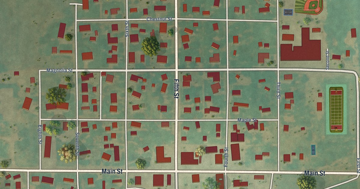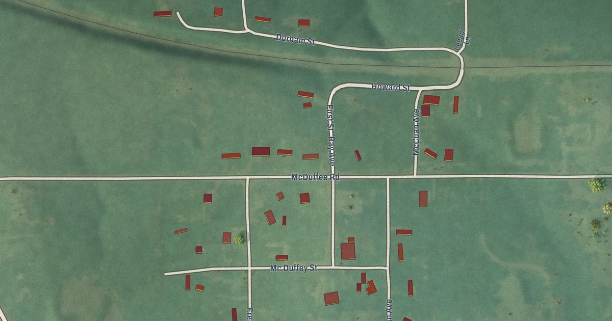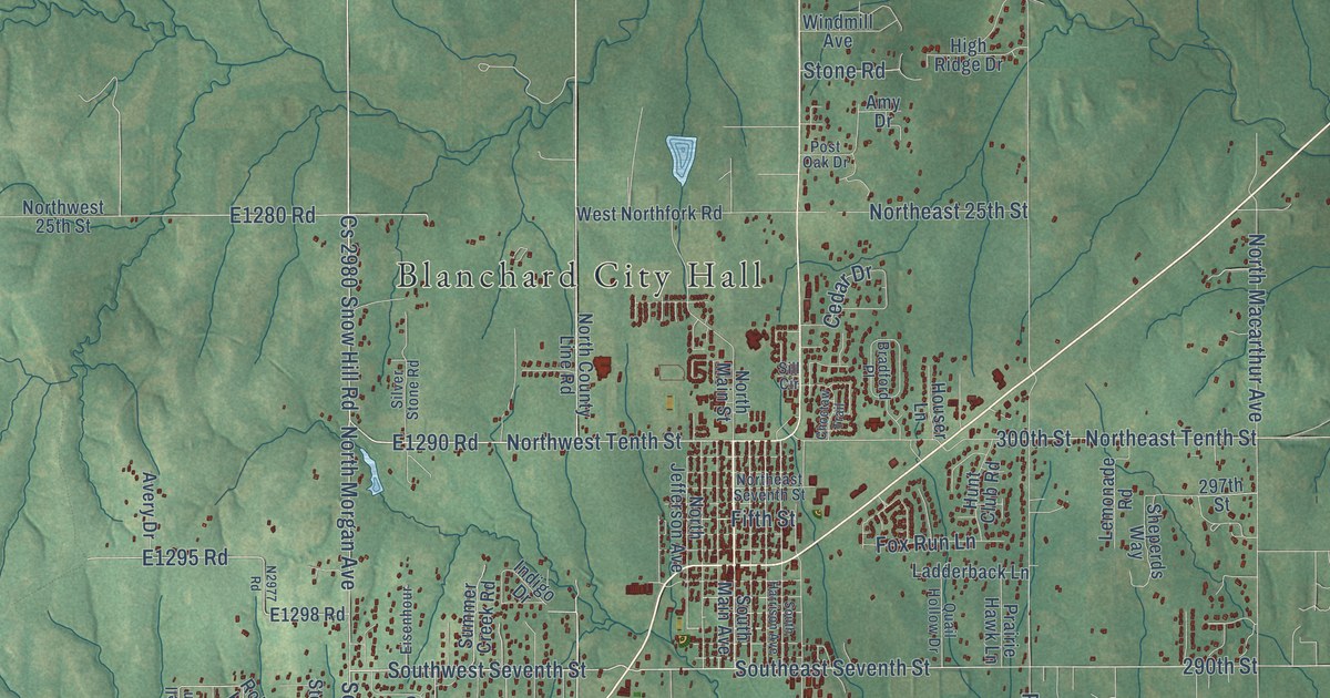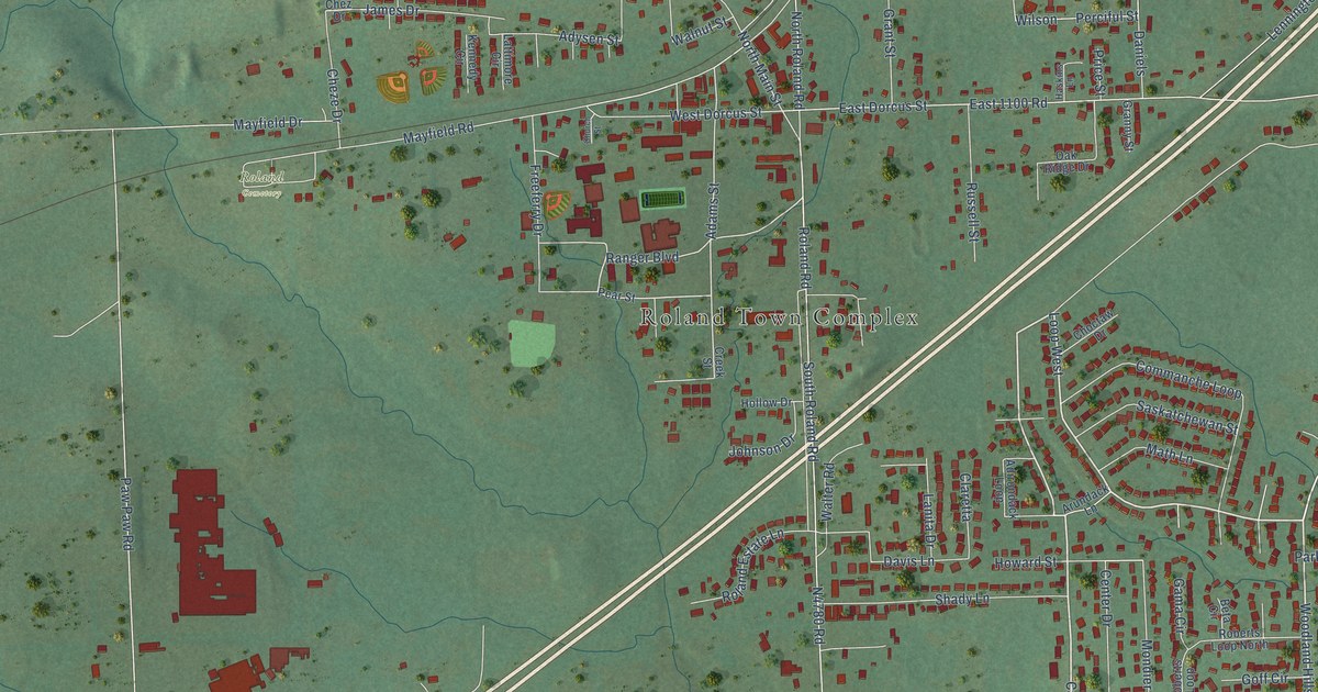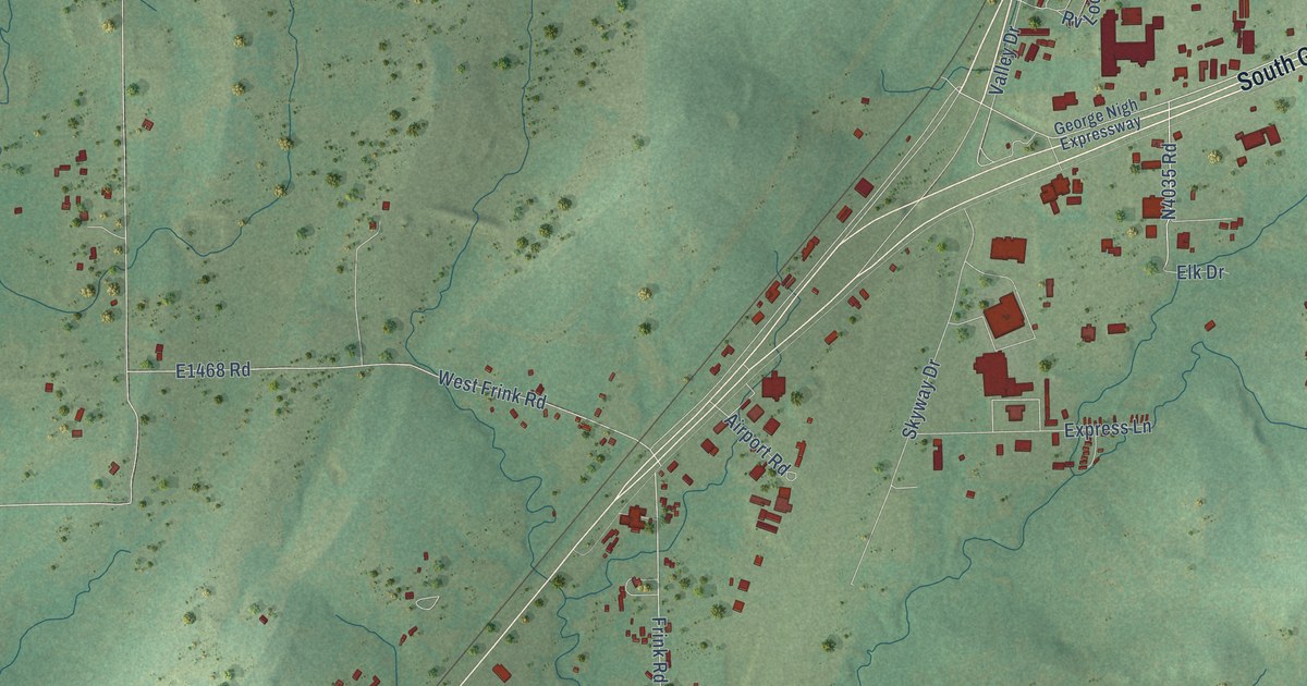
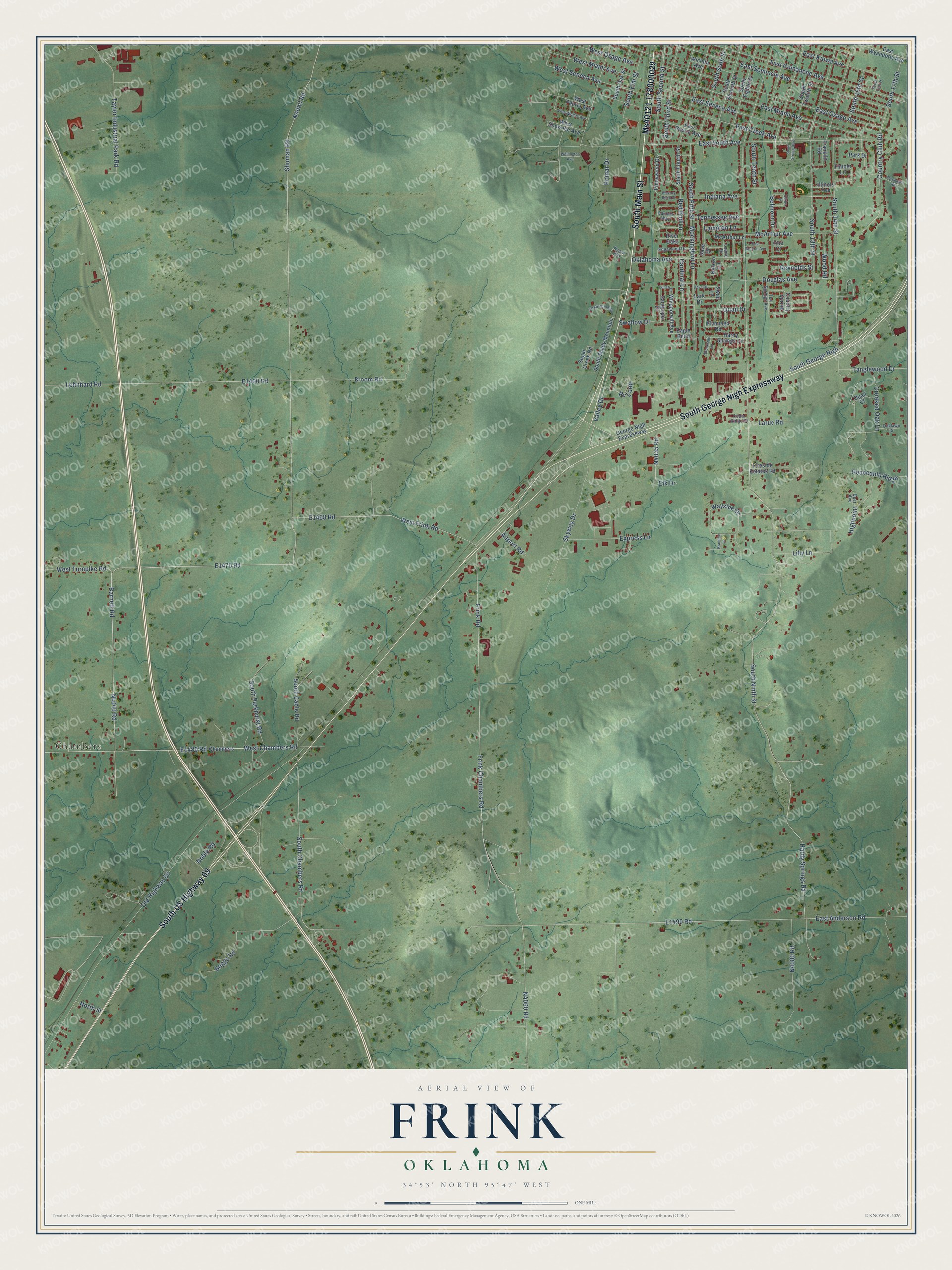
This beautifully detailed map of Frink, Oklahoma was created in 2026 using aerial imagery combined with modern topographical, census, street and landmark data. It’s a one-of-a-kind view of Frink that combines accurate data with a vintage aesthetic. The map shows every building in its true location, many of the roads carry their names, and the shaded topographic relief shows the shape of the land.
Explore an aerial view of Frink, Oklahoma
On the map you’ll find Chambers and Ms40121 178000029, along with South Main Street, South George Nigh Expressway, South US Highway 69, South Ninth Street, Hardy Springs Road, N4035 Road, West Chambers Road, Barnett Road, N4040 Road, E1470 Road, and more. If you look closely you can even find your house accurately drawn in its correct location. Zoom in on the preview to look for yours.
Take a closer look at the Frink map
Names on this map
These names are printed on this map.
Places: Chambers.
Streets and roads: South Main Street, South George Nigh Expressway, South US Highway 69, Ms40121 178000029, South Ninth Street, Hardy Springs Road, West Chambers Road, Barnett Road, South George Nigh, Belmont Drive, South Chambers Road, South 17th Street.
More street names, A to Z
Airport Road, Boggs Road, Bramble Lane, Brookside Circle, Broom Road, Cardinal Lane, Cedar Ridge Drive, Country Club Road, Country Spring, Crooked Oak Lane, Dave Drive, Deer Avenue, Derby Drive, Douglas Avenue, Dove Drive, Eagle Bend, East Anderson Road, East Central Avenue, East Comanche Avenue, East Creek Avenue, East Kiowa Avenue, East Miami Avenue, East Osage Avenue, East Peoria Avenue, East Seminole Avenue, East Seneca Avenue, East South Avenue, East Wyandotte Avenue, Edgewood Drive, Elk Drive, Express Lane, Finch Drive, Fireside Estates Road, Flamingo Road, Franklin Road, Frink Chambers Road, Frink Road, George Nigh Expressway, Hardy Springs Circle, Hickory Bend Street, Highpoint, Illinois Avenue, Indiana Avenue, Komar Drive, Lampton Lane, Lark Drive, Larue Road, Lehnhard Road, Lilly Lane, Louise Drive, McArthur Avenue, McArthur Lane, Mockingbird Lane, Nelson Lane, Noble Road, North Street, Oaklawn Drive, Oklahoma Avenue, Old Highway 69, Ono Court, Park Drive, Peaceable Ridge, Peaceable Road, Pineywood Drive, Quail Court, Quail Drive, Red Bud Lane, Reynolds Street, River Oaks, Rv Loop, Sandpiper Drive, Saunier Way, Shady Mountain, Shuman Road, Skyway Drive, South 13th Street, South 14th Street, South 15th Street, South 16th Street, South Cable Road, South Eighth Street, South Elm Street, South Fifth Street, South Fourth Street, South Oak Street, South Parkhurst Road, South Second Street, South Seventh Street, South Shady Mountain, South Sixth Street, South Strong Boulevard, South Tenth Street, South Third Street, South Twelfth Street, Sugar Creek Road, Swallow Drive, Swan Lane, Tanglewood Drive, Taylor Industrial Park Road, Tennessee Avenue, Ten Springs Avenue, Timber Lane, Valley Drive, Wagner Way, Wayside Drive, Wellington Avenue, West Frink Road, West Miami Avenue, West Modoc Avenue, West Osage Avenue, West Peoria Avenue, West Seneca Avenue, West Shawnee Avenue, West Turnpike Road, Whipporwill Avenue, Wichita Avenue, Wood Road.
See it on a wall
The Frink map as a framed print. Swipe for more.


This beautifully detailed map of Frink makes an attractive addition to your office, library, or den, and it can even be used to teach children the geography and history of the area. It also makes a great gift for anyone who grew up in Frink or moved away. When you’re done exploring, click here to get your copy of the Frink map.