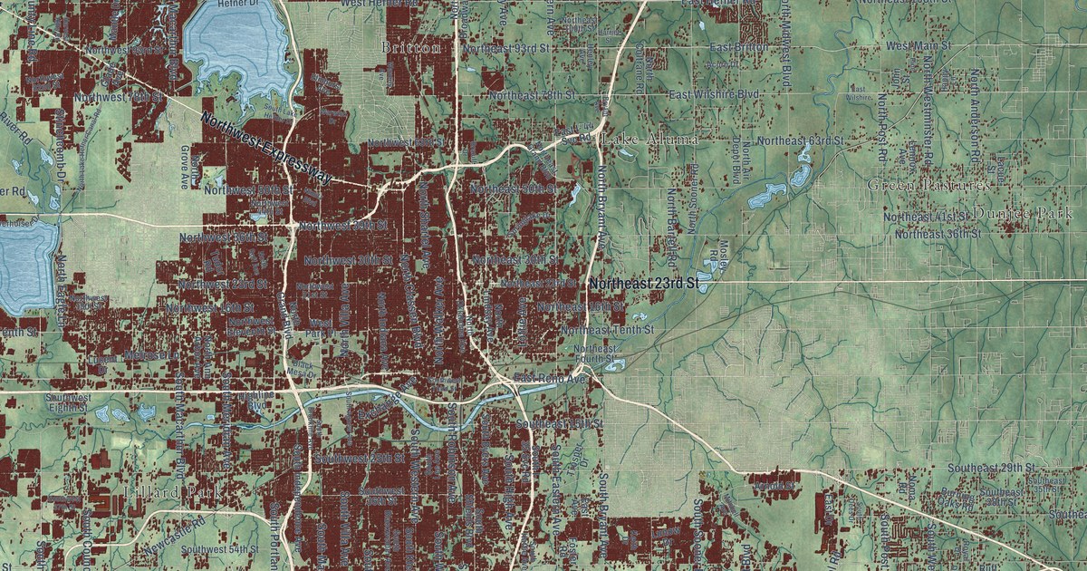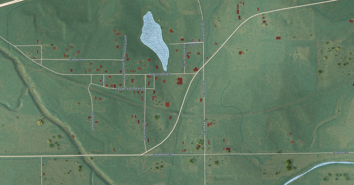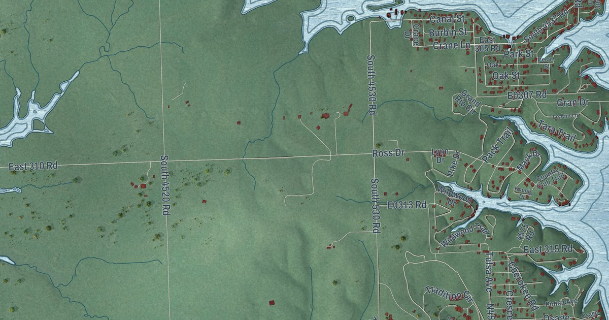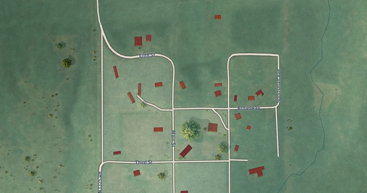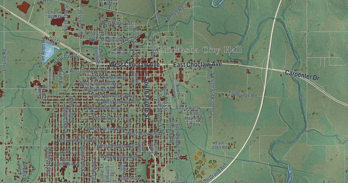
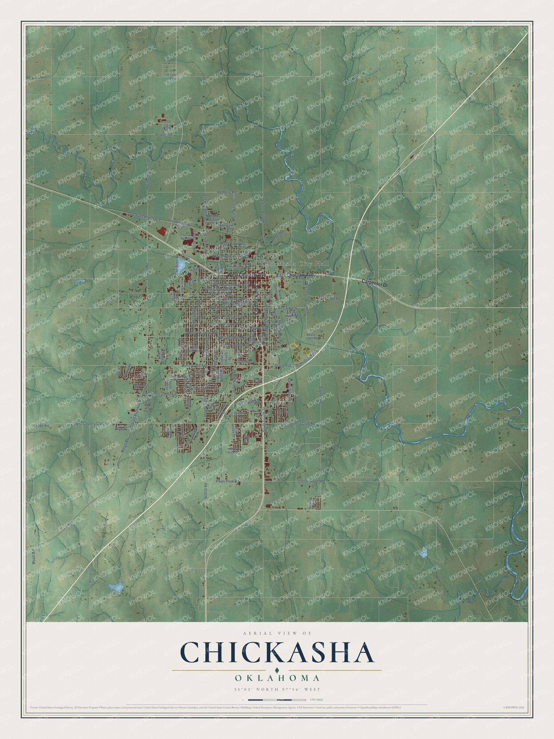
This beautifully detailed map of Chickasha, Oklahoma was created in 2026 using aerial imagery combined with modern topographical, census, street and landmark data. It's a modern aerial view of Chickasha in Grady County, Oklahoma, that combines modern data with a vintage aesthetic. The roads feature printed names, and if you look closely you can find your exact house accurately shown in its correct location.
Explore an aerial view of Chickasha, Oklahoma
On this map you'll find Chickasha City Hall, South Fourth Street, West Choctaw Avenue, East Choctaw Avenue, Carpenter Drive, South First Street, North Ninth Street, North Fourth Street, South 15th Street, Grand Avenue, West Grand Avenue, North 16th Street, and more. Each red shape is a building, so zoom in on the preview and look for yours.
Chickasha has a story worth telling. The record at okhistory.org puts it this way: "Chickasha was founded in 1892 with the arrival of the Chicago, Rock Island and Pacific Railway."
Chickasha is a city in Grady County.
Take a closer look at the Chickasha map
Names on this map
These names are printed on this map.
Places: Chickasha City Hall and Crystal Park.
Streets and roads: South Fourth Street, West Choctaw Avenue, East Choctaw Avenue, Carpenter Drive, South First Street, North Ninth Street, North Fourth Street, South 15th Street, Grand Avenue, West Grand Avenue, North 16th Street, West Country Club Road.
More street names, A to Z
29th Street, 30th Street, Ada Sipuel, Airport Road, Alli Circle, Alli Lane, Arizona Avenue, Belmont Drive, Bowerwood Drive, California Avenue, Cedar Drive, Charles Allen Drive, Christopher Drive, Cottonwood Road, Country Club Drive, Coyyor Research Road, Cranton Drive, Dan Allen Road, East 1365 Road, East Almar Drive, East Country Club Road, East Maple Avenue, Elm Avenue, Entrance Drive, First Street, Flanders Drive, Fred McClain Avenue, Frisco Avenue, Harly Day Drive, Hickory Stick Drive, Honda Lane, John Cowan Drive, Lakewood Drive, Linville Road, Maple Lane, Maryland Avenue, Miller Drive, Mockingbird Lane, Morrow Drive, Norge Road, North 18th Street, North 29th Street, North Sixth Street, North Third Street, North Twelfth Street, Old State Highway 9, Old State Highway 92, Old US Highway 62 West, Old US Highway 81, Parkway Drive, Pikes Peak Road, Piper Road, Pondridge Road, Redding Road, Sheridan Place, Sleepy Hollow Drive, Sooner Road, South 13th Street, South 14th Street, South 16th Street, South 17th Street, South 18th Street, South 19th Street, South 20th Street, South 21st Street, South 22nd Street, South 23rd Street, South 24th Street, South 29th Street, South Eighth Street, South Fifth Street, South Genevieve Street, South Grand Avenue, South Henderson Street, South Ninth Street, South Second Street, South Seventh Street, South Sheppard Street, South Sixth Street, South Third Street, South Twelfth Street, Sterling Drive, Todd Estate Drive, Tollbridge Road, University Boulevard, Utah Avenue, Valley View Drive, Vine Street, West Alabama Avenue, West Almar Drive, West Arkansas Avenue, West Carolina Avenue, West Chickasha Avenue, West Colorado Avenue, West Dakota Avenue, West Florida Avenue, West Georgia Avenue, West Harvey Street, West Idaho Avenue, West Illinois Avenue, West Iowa Avenue, West Kansas Avenue, West Michigan Avenue, West Minnesota Avenue, West Mississippi Avenue, West Missouri Avenue, West Tennessee Avenue, West Texas Avenue, West Virginia Avenue, Wyatt Road.
Created by KNOWOL in 2026. The buildings are small red shapes, the roads carry their printed names, and shaded relief shows the shape of the land. The title panel reads "AERIAL VIEW OF CHICKASHA OKLAHOMA" with 35°03' NORTH 97°56' WEST.
It looks right in a kitchen, an office or a den, and it's a gift for anyone who grew up in Chickasha or moved away. Open the preview and find your street. See sizes and frames for the Chickasha map.