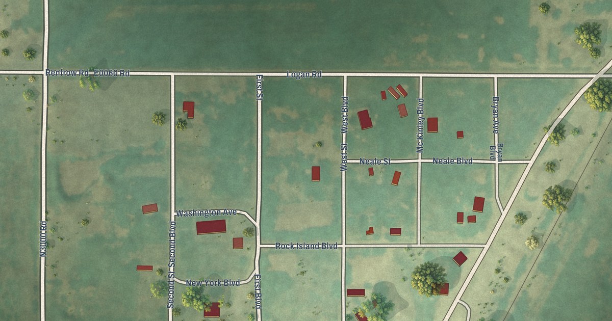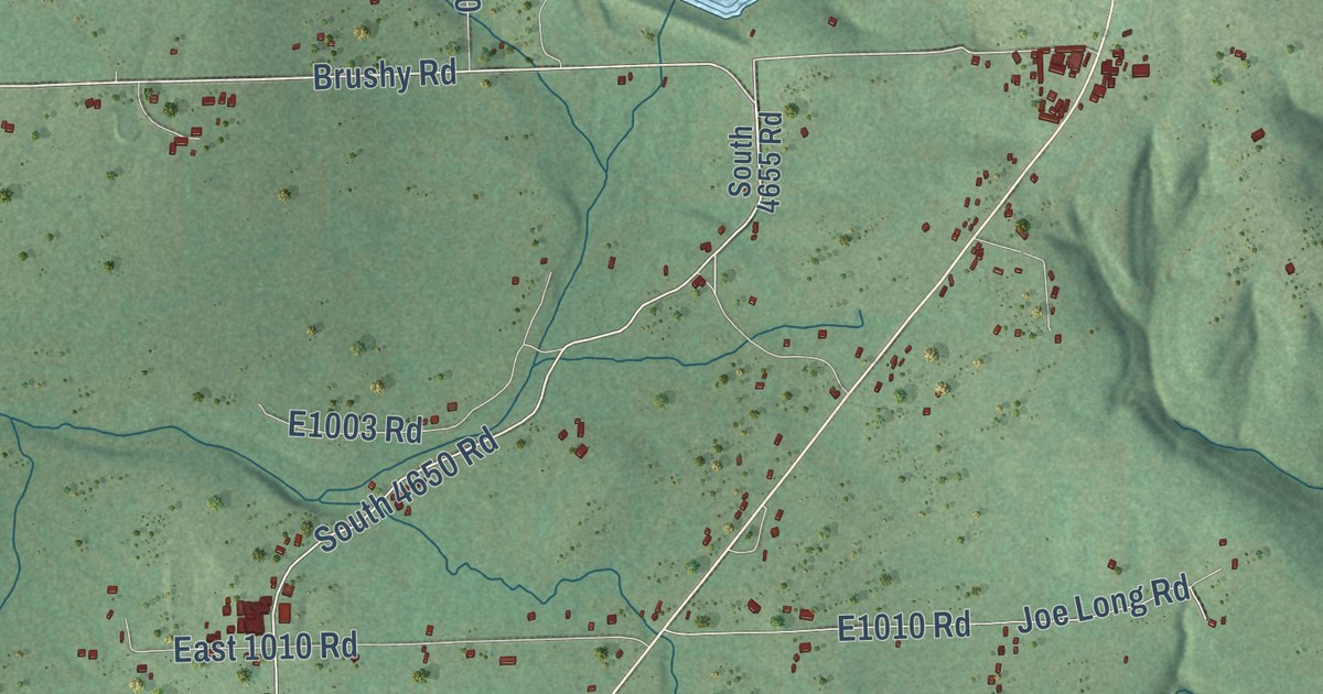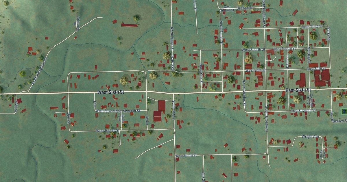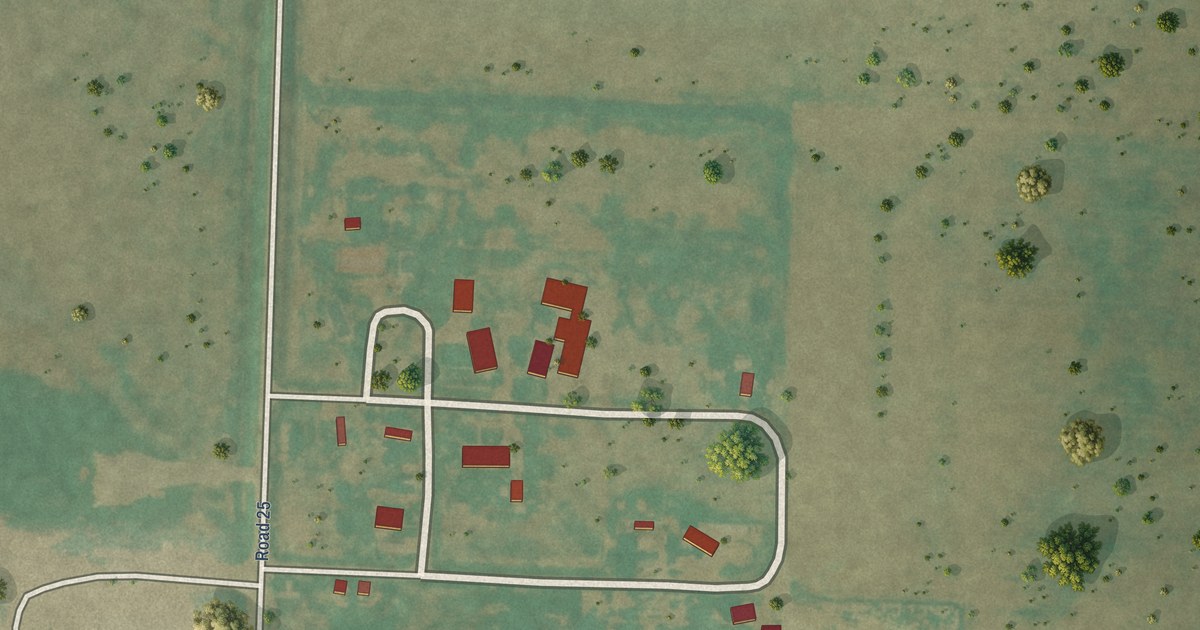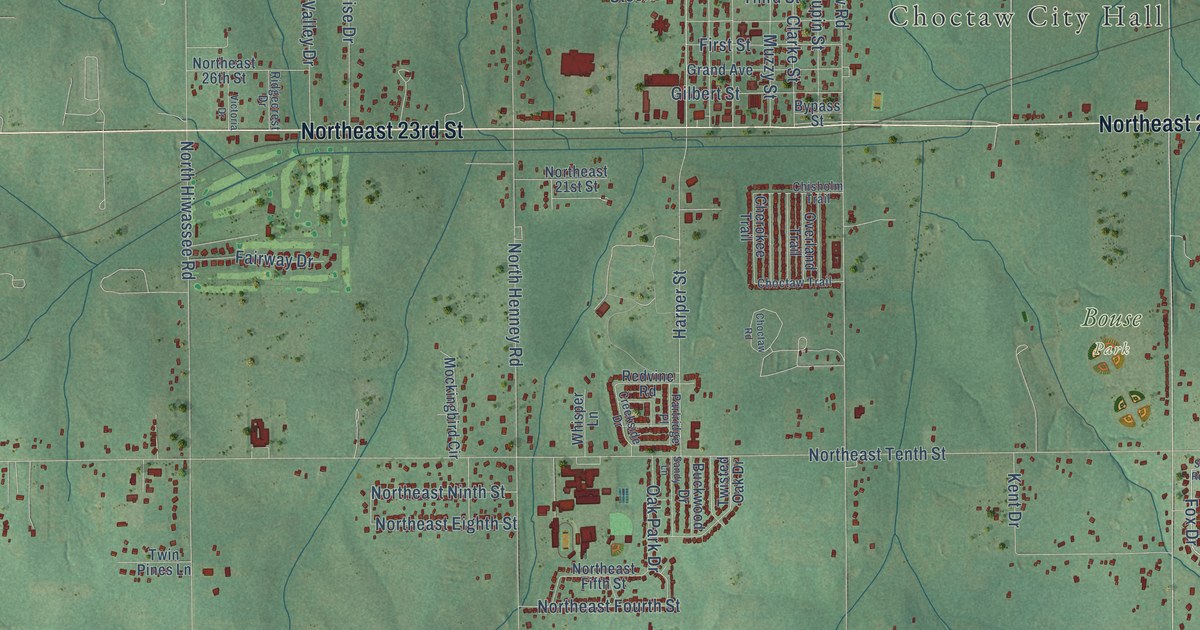
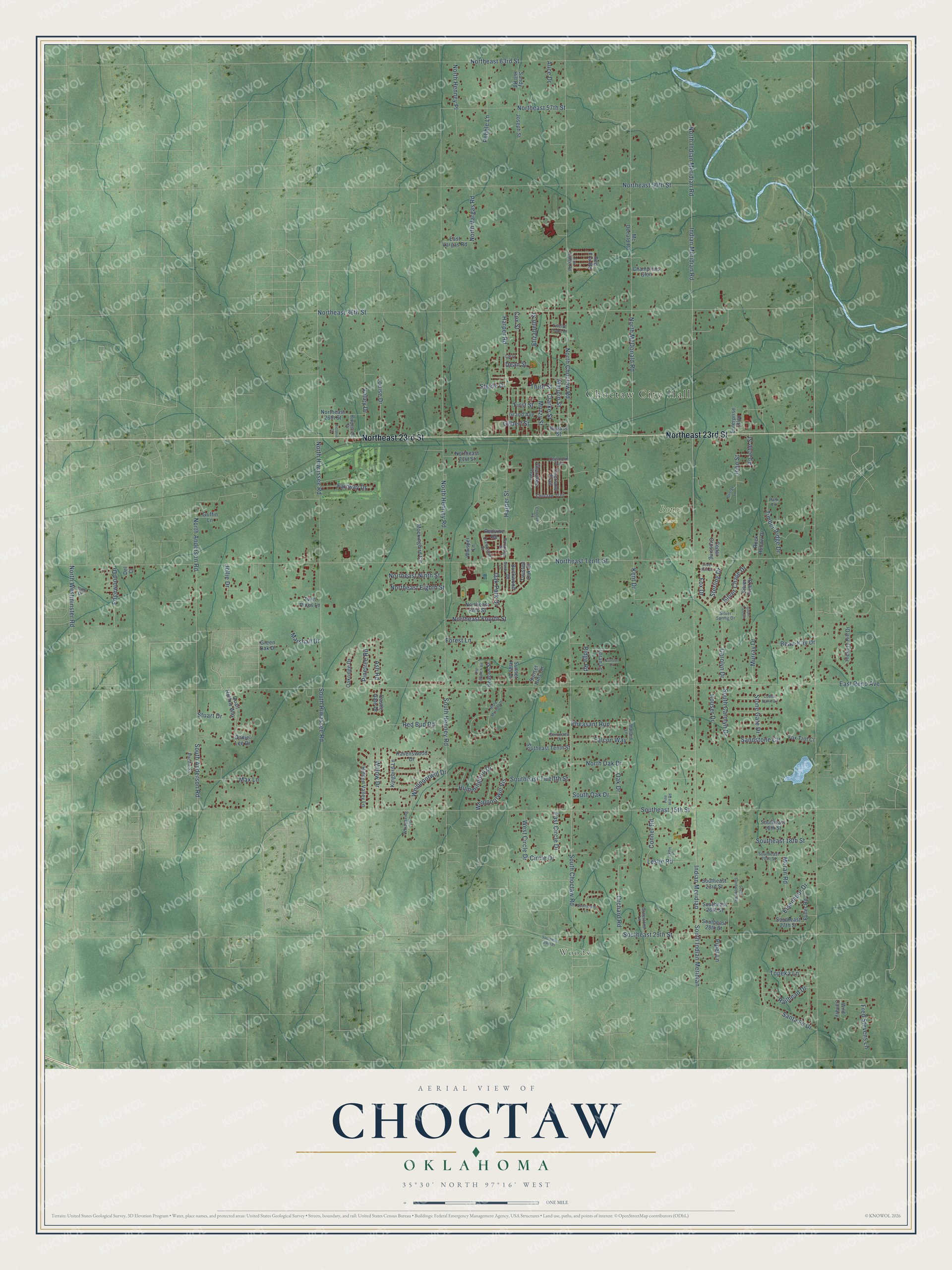
This beautifully detailed map of Choctaw, Oklahoma was created in 2026 using aerial imagery combined with modern topographical, census, street and landmark data. It’s a one-of-a-kind view of Choctaw that combines accurate data with a vintage aesthetic. The map shows every building in its true location, many of the roads carry their names, and the shaded topographic relief shows the shape of the land.
Explore an aerial view of Choctaw, Oklahoma
On the map you’ll find Choctaw City Hall, Woods, and Bouse Park, along with Northeast 23rd Street, Fox Drive, Northeast Tenth Street, East Reno Avenue, Southeast 15th Street, North Choctaw Road, North Henney Road, Indian Meridian Road, North Indian Meridian Road, and more. If you look closely you can even find your house accurately drawn in its correct location. Zoom in on the preview to look for yours.
Did you know this piece of Choctaw, Oklahoma history?
Choctaw grew on the east 80 acres of John S. Muzzy’s claim from the 1889 Land Run. A post office for Choctaw City opened in early 1890. When railroad tracks arrived in 1895, most merchants moved their buildings west into a new Railway Addition. That western settlement kept the name Choctaw. That’s from the Encyclopedia of Oklahoma History.
Choctaw is a city in Oklahoma County.
Take a closer look at the Choctaw map
Street and place names on the Choctaw, Oklahoma map
These names are printed on the map of Choctaw, Oklahoma.
Places: Choctaw City Hall, Woods and Bouse Park.
Streets and roads: Northeast 23rd Street, Fox Drive, Northeast Tenth Street, East Reno Avenue, Southeast 15th Street, North Choctaw Road, North Henney Road, Indian Meridian Road, North Indian Meridian Road, Northeast 36th Street, North Hiwassee Road, Indian Meridian.
More street names, A to Z
Alice Drive, Apache Street, Ash Road, Beacon Street, Beau-Kay Drive, Buckwood Drive, Bypass Street, Carolyn Drive, Castle Gate Drive, Cedar Crossing, Champions Glen, Cherokee Trail, Chisholm Trail, Choctaw Road, Choctaw Trail, Circle Drive, Clarke Street, Cobble Stone Circle, Conner Road, Coronado Drive, Cox Street, Creekside Drive, Daniel Lee Drive, Dean Street, Del Court, East Circle Drive, East Vargas Road, Edgewood Drive, Eisenhour Drive, Elizabeth Street, Enterprise Boulevard, Fairway Drive, Falcon Way, First Street, Forest Lane, Fox Ridge Road, Fox Trot Court, Fred Stevens Lane, Fuller Road, George Lane, Gilbert Street, Grand Avenue, Green Oak Drive, Greystone Lane, Griffin Lane, Harper Road, Harper Street, Hickory Hill Drive, Hidden Valley Lane, Houser Drive, Hummingbird Drive, Ione Drive, John Street, Jollie Drive, Joseph Street, Kent Drive, Kingbird Lane, Larry, Leslie Road, Loran Lane, Louise Drive, Lynn Place, Mallard Lane, Marshall Drive, Maupin Street, Max Lane, Mc Donald Road, Misty Morning Drive, Mockingbird Circle, Moran Road, Murray Drive, Muzzy Street, North Anderson Road, Northeast 21st Street, Northeast 26th Street, Northeast 50th Street, Northeast 57th Street, Northeast 63rd Street, Northeast Eighth Street, Northeast Fifth Street, Northeast Fourth Street, Northeast Ninth Street, North Henney Place, North McDonald Road, North Oak Drive, North Vargas Road, North Westminster Road, Oak Drive, Oak Park Drive, Oakridge Drive, Old Branch Road, Orchard Road, Overland Trail, Pacific Street, Park Lane, Partridge Place, Pebble Lane, Pheasant Run, Pine Hill Road, Pinetree Road, Piper Lane, Quail Hollow Way, Railhead Drive, Ravenswood Drive, Red Bud Road, Red Fox Road, Redvine Road, Ridgecrest Drive, Ridge Road, Rock Hollow Drive, Sandstone Circle, Sandy Hill Road, Sandy Lane, Santa Fe Drive, Scottsdale Lane, Silver Chase Drive, Silver Run Drive, Silver Spring Drive, Silver Tree Circle, Silver Tree Drive, South Anderson Road, South Carolyn Drive, South Choctaw Road, Southeast 16th Street, Southeast 18th Street, Southeast 20th Street, Southeast 23rd Street, Southeast 26th Street, Southeast 27th Street, Southeast 28th Street, Southeast 29th Place, Southeast 29th Street, Southeast Tenth Street, Southeast Twelfth Street, South Henney Road, South Hiwassee Road, South Indian Meridian, South Oak Drive, South Sandwood Avenue, Steele Drive, Sterling Drive, Stone Gate Drive, Stuart Drive, Sunrise Court, Sunset Hills Circle, Sunset Hills Drive, Third Street, Timber Ridge Drive, Topeka Lane, Twelve Oaks Drive, Twin Pines Lane, Twisted Oak Drive, Valley Drive, Victoria Drive, West Circle Drive, Whippoorwill Drive, Whippoorwill Vis, Whispering Lane, Whisper Lane, Wild Canary, Willow Drive.
See the Choctaw, Oklahoma map on a wall
The Choctaw map as an 18 x 24 inch print in a black frame.

This beautifully detailed map of Choctaw makes an attractive addition to your office, library, or den, and it can even be used to teach children the geography and history of the area. It also makes a great gift for anyone with Choctaw roots. When you’re done exploring, click here to get your copy of the Choctaw map.