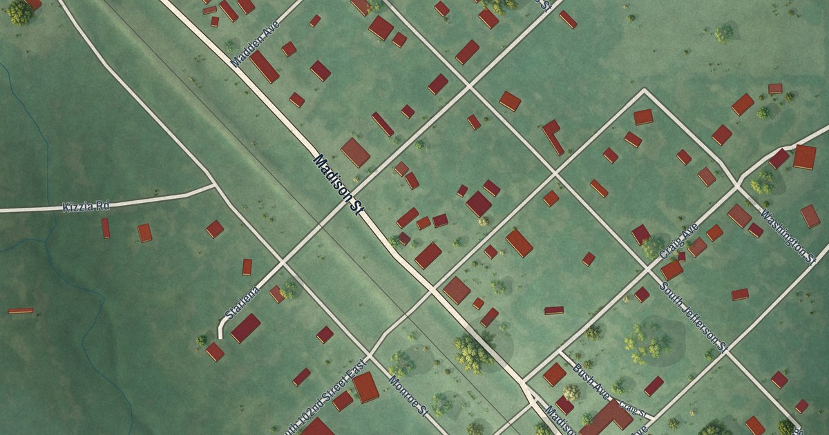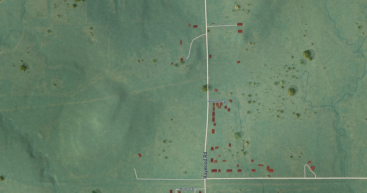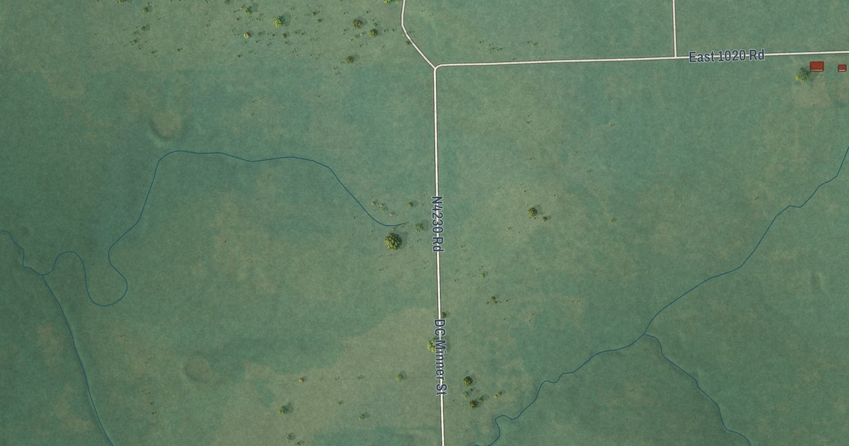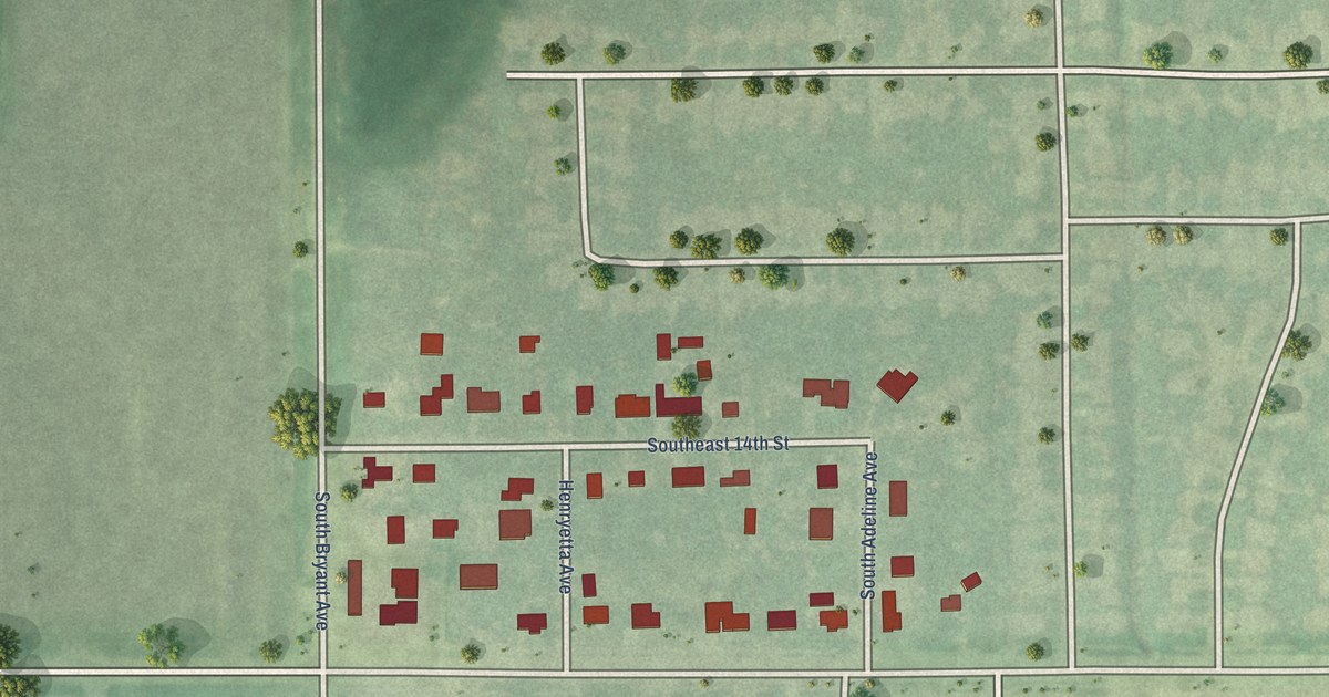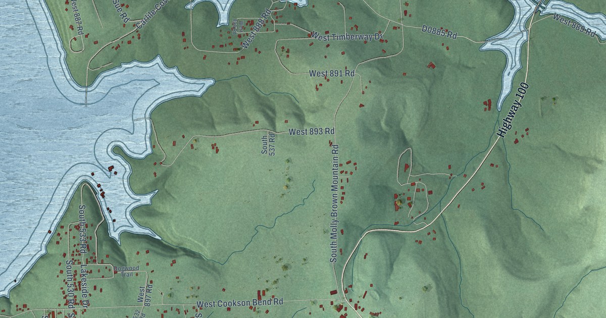
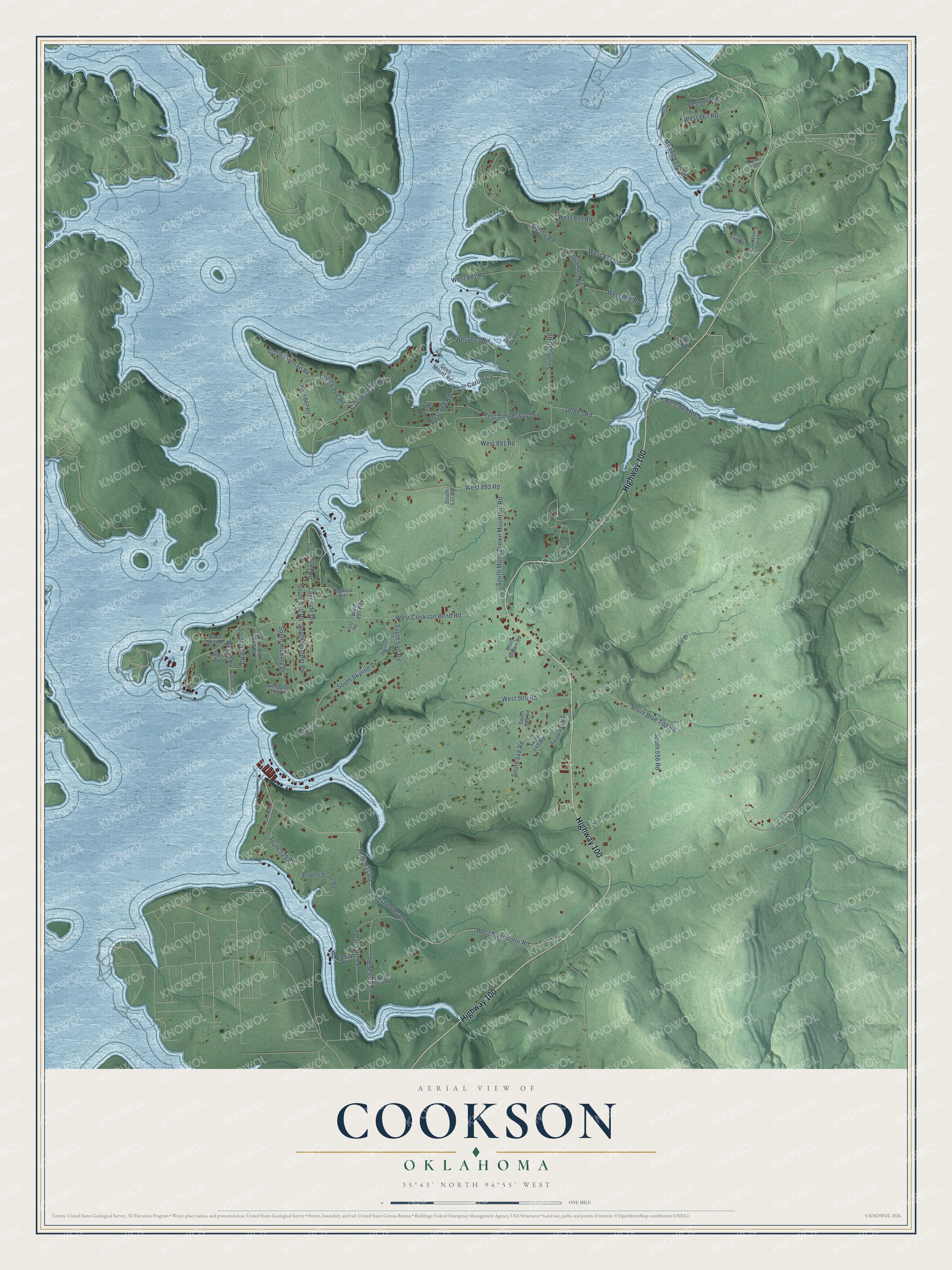
This beautifully detailed map of Cookson, Oklahoma was created in 2026 using aerial imagery combined with modern topographical, census, street and landmark data. It's a modern aerial view of Cookson in Cherokee County, Oklahoma, that combines modern data with a vintage aesthetic. The roads feature printed names, and if you look closely you can find your exact house accurately shown in its correct location.
Explore an aerial view of Cookson, Oklahoma
On this map you'll find Highway 100, West Cookson Bend Road, South 528 Road, Sixshooter Road, West Sixshooter Road, West 877 Road, West 888 Road, South 550 Road, Carlile Cove Road, West 879 Road, D4554 Road, West 915 Road, and more. Each red shape is a building, so zoom in on the preview and look for yours.
Every town has a first chapter, and Cookson is no exception. Cookson, in southeastern Cherokee County, took its name from John H. Cookson, who was its first postmaster when the post office opened on April 11, 1895. That's from the 1974 book Oklahoma Place Names.
Cookson is a community in Cherokee County. The Census Bureau counted 826 people here in 2020.
Take a closer look at the Cookson map
Names on this map
These names are printed on this map.
Streets and roads: Highway 100, West Cookson Bend Road, South 528 Road, Sixshooter Road, West Sixshooter Road, West 877 Road, West 888 Road, South 550 Road, Carlile Cove Road, West 879 Road, West 915 Road, South Blue Top Road.
More street names, A to Z
532 Road, Alley Road, Browne Stone Road, Carlile Cv, Crest Ridge Drive, Dogwood Trail, Donna Sue Road, Flint Oak Road, Flint Ridge, Govn Mount Road, Griffin Mountain Road, Lakeside Drive, Meadowood Drive, Molly Brown Road, Singapore Road, Sixshooter Lane, Skyline Drive, South 529 Road, South 530 Road, South 533 Road, South 535 Road, South 536 Road, South 537 Road, South 540 Road, South 546 Road, South 548 Road, South 549 Road, South 551 Road, South 552 Road, South 556 Road, South Boulder Road, South Flint Oak Lane, South Hickory Drive, South Molly Brown Mountain Road, South Red Bud Road, South Skyline Court, South Skyline Drive, West 867 Road, West 870 Road, West 881 Road, West 882 Road, West 884 Road, West 885 Road, West 887 Road, West 889 Road, West 891 Road, West 893 Road, West 897 Road, West 898 Road, West 901 Road, West 905 Road, West 921 Road, West Coon Hollow, West Timberway Drive.
See it on a wall
The Cookson map as a framed print. Swipe for more.


Created by KNOWOL in 2026. The buildings are small red shapes, the roads carry their printed names, and shaded relief shows the shape of the land. The title panel reads "AERIAL VIEW OF COOKSON, OKLAHOMA" with 35°43' NORTH 94°55' WEST.
Hang it in the hallway, the office or the cabin, or give it to someone who left Cookson and still calls it home. Open the preview and look for a street you know. See sizes and frames for the Cookson map.