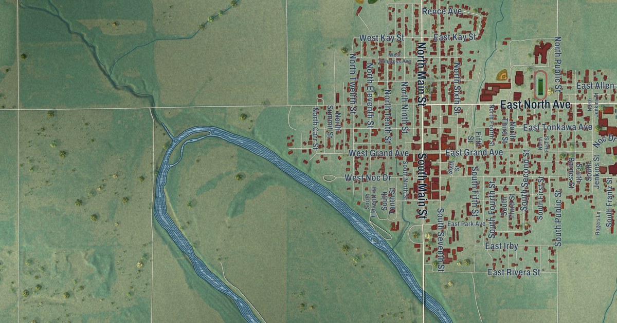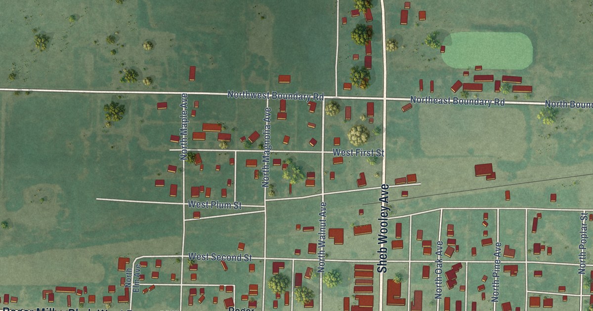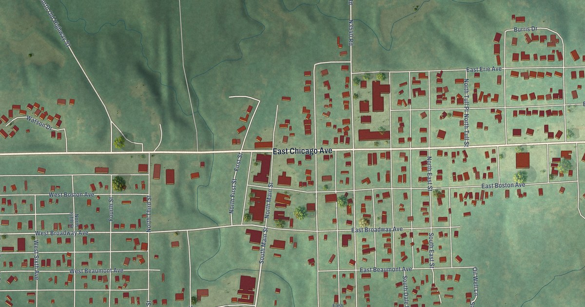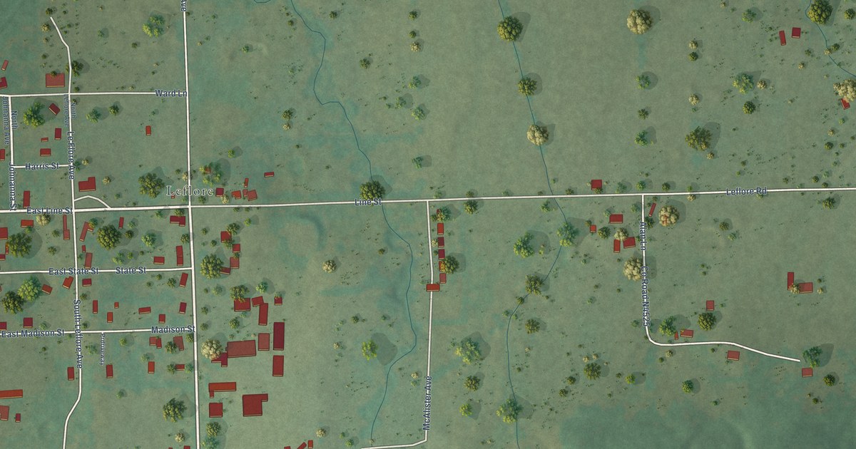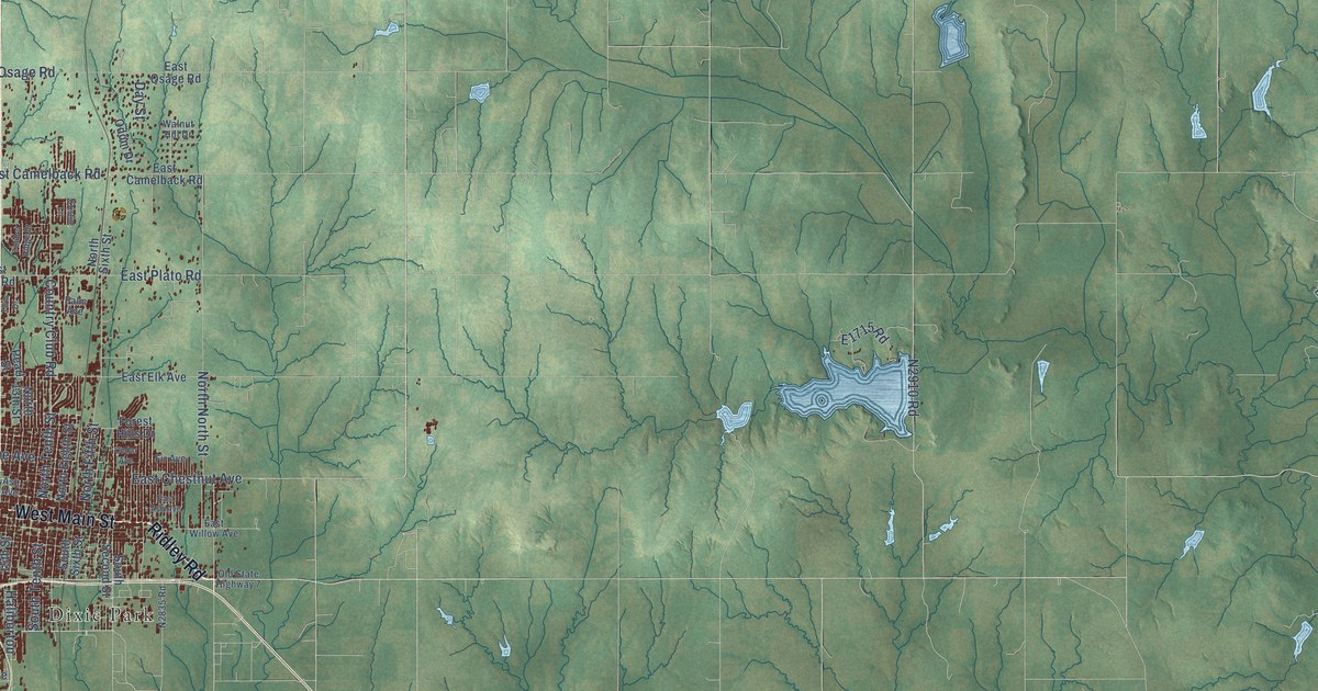
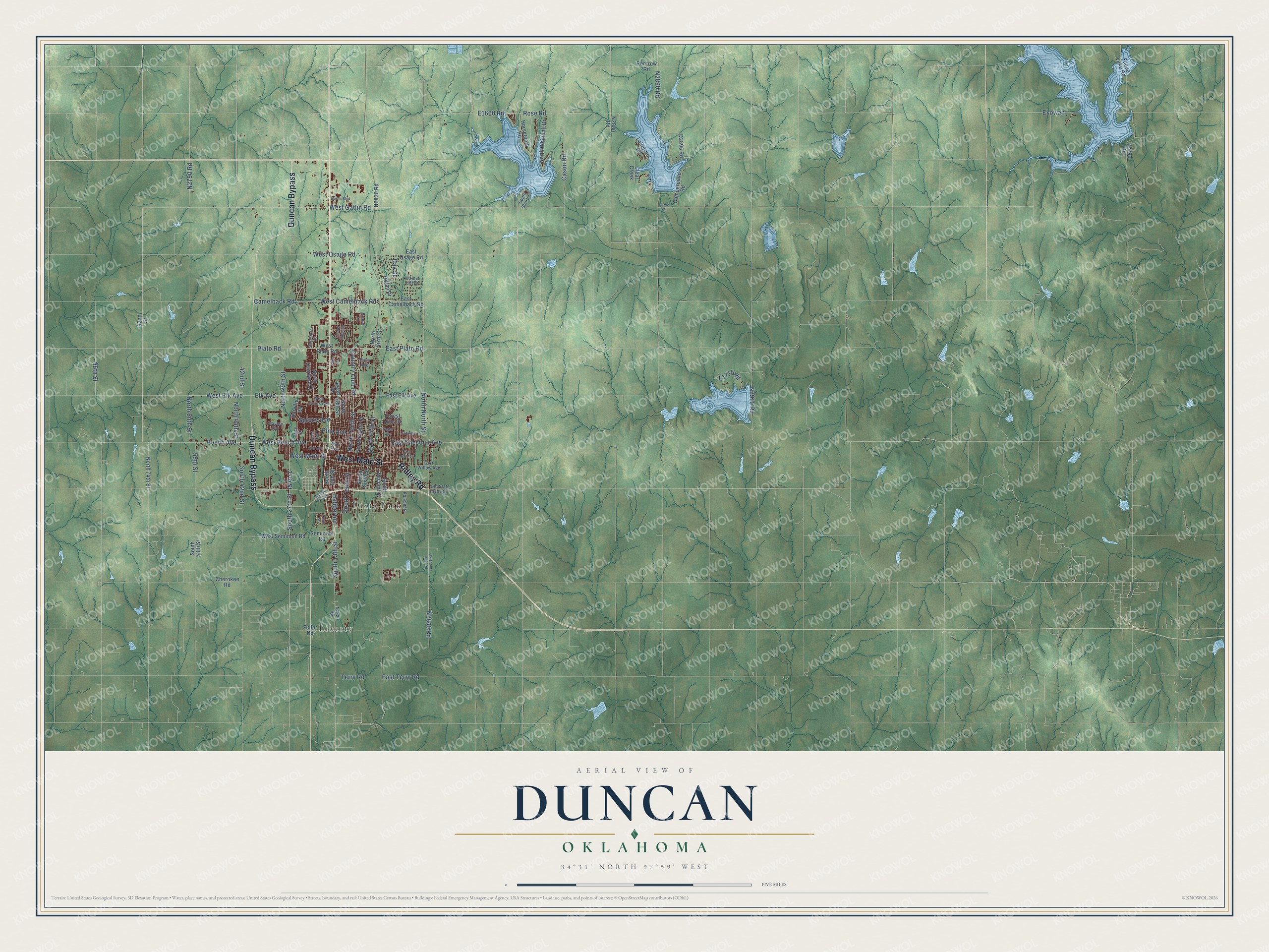
This beautifully detailed map of Duncan, Oklahoma was created in 2026 using aerial imagery combined with modern topographical, census, street and landmark data. It's a modern aerial view of Duncan in Stephens County, Oklahoma, that combines modern data with a vintage aesthetic. The roads feature printed names, and if you look closely you can find your exact house accurately shown in its correct location.
Explore an aerial view of Duncan, Oklahoma
On this map you'll find Dixie Park, Liberty, West Main Street, Ridley Road, Duncan Bypass, West Gatlin Road, N2790 Road, Beech Avenue, South 27th Street, North 60th Street, West Elk Avenue, East Chestnut Avenue, and more. Each red shape is a building, so zoom in on the preview and look for yours.
Here is a piece of Duncan history, in the words of the record. The record at okhistory.org puts it this way: "The first Stephens County Courthouse was constructed in Duncan in the early 1920s, and the present courthouse was erected in the late 1960s."
Duncan is a city in Stephens County.
Take a closer look at the Duncan map
Names on this map
These names are printed on this map.
Places: Dixie Park and Liberty.
Streets and roads: West Main Street, Ridley Road, Duncan Bypass, West Gatlin Road, Beech Avenue, South 27th Street, North 60th Street, West Elk Avenue, East Chestnut Avenue, North Tenth Street, West Beech Avenue, Elk Avenue.
More street names, A to Z
27th Street, 42nd Street, 58th Street, 92nd Street, 96th Street, Alice Drive, Ash Avenue, Boren Boulevard, Camelback Road, Campground Road, Cason Road, Cedar Avenue, Cherokee Road, Clayton Avenue, Clear Creek, Cook Street, Country Club Road, Day Street, East Ash Avenue, East Camelback Road, East Elk Avenue, East Osage Road, East Plato Road, East Terry Road, East Willow Avenue, Ekowah, Fir Avenue, Forest Hills Drive, Fuller Road, Fuqua Lake Road, Haliburton, Harville Road, Horsetooth Road, Kristin Lane, Lakefront Road, Lester Boulevard, North 13th Street, North 29th Street, North 44th Street, North 74th Street, North Eighth Street, North Fifth Street, North North Street, North Overland Drive, North Sixth Street, North Whitetail Drive, Oak Avenue, Odom Drive, Oklahoma Hills Road, Old State Highway 7, Palm Avenue, Parker Street, Pearl Street, Pine Avenue, Plato Road, Renfrow Road, Rose Road, Seminole Road, South 13th Street, South 15th Street, South 42nd Street, South 58th Street, South Second Street, South Shore Drive, South Sixth Street, South Tenth Street, Spruce Avenue, Stagestand Road, Terry Road, Timber Ridge Drive, Twin Drive, Walnut Hill Drive, West Camelback Road, West Jones Avenue, West Osage Road, West Plato Road, West Seminole Road.
Created by KNOWOL in 2026. The buildings are small red shapes, the roads carry their printed names, and shaded relief shows the shape of the land. The title panel reads "AERIAL VIEW OF DUNCAN OKLAHOMA" with 34°31' NORTH 97°59' WEST.
It suits a den, a classroom or a front hall, and it makes a gift for anyone with Duncan roots. Open the preview and find the block you know. See sizes and frames for the Duncan map.