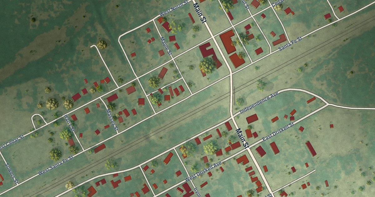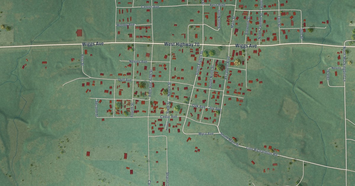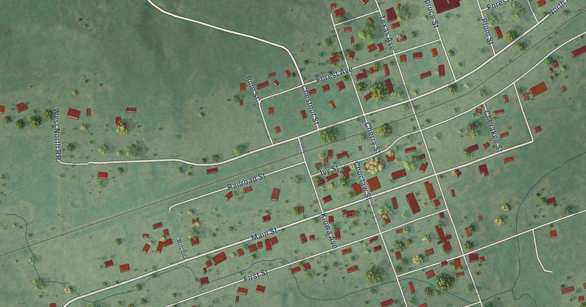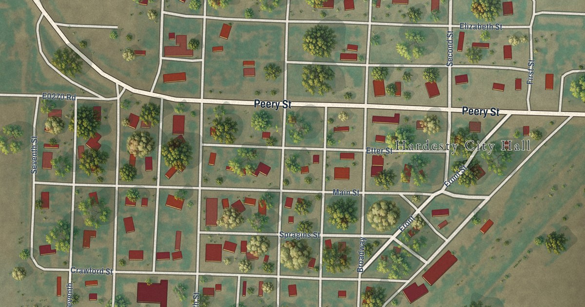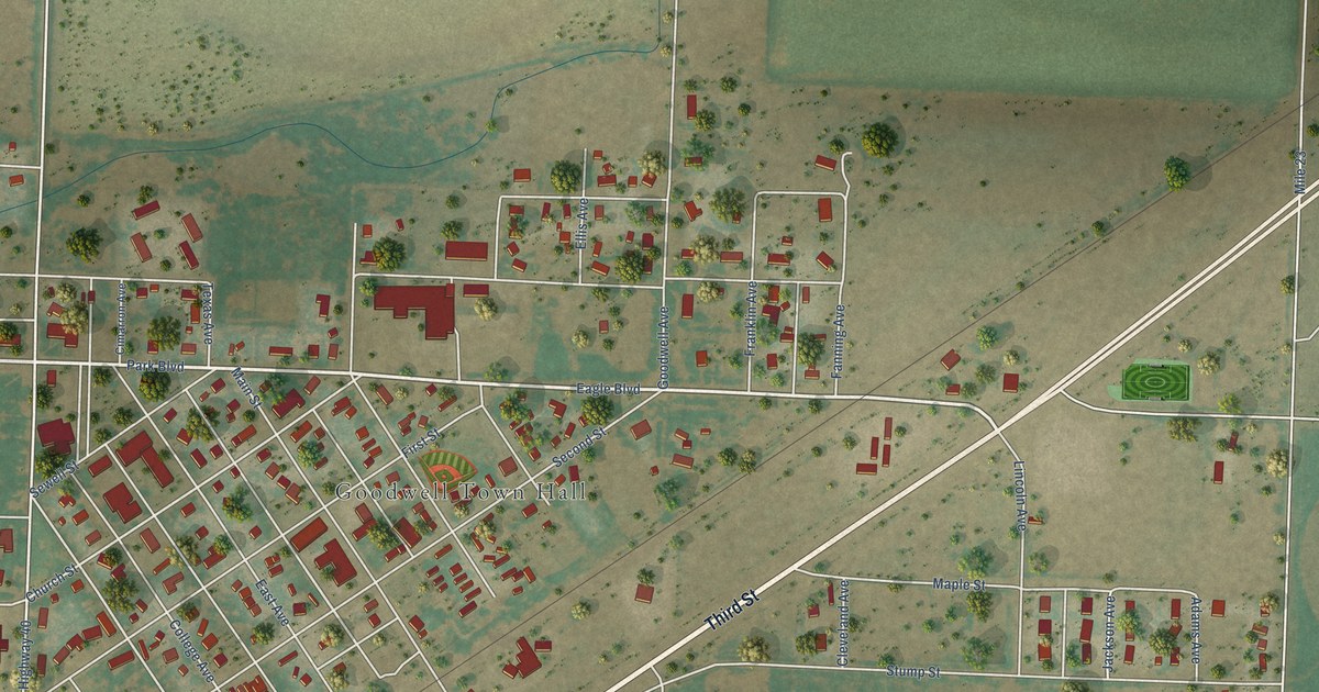
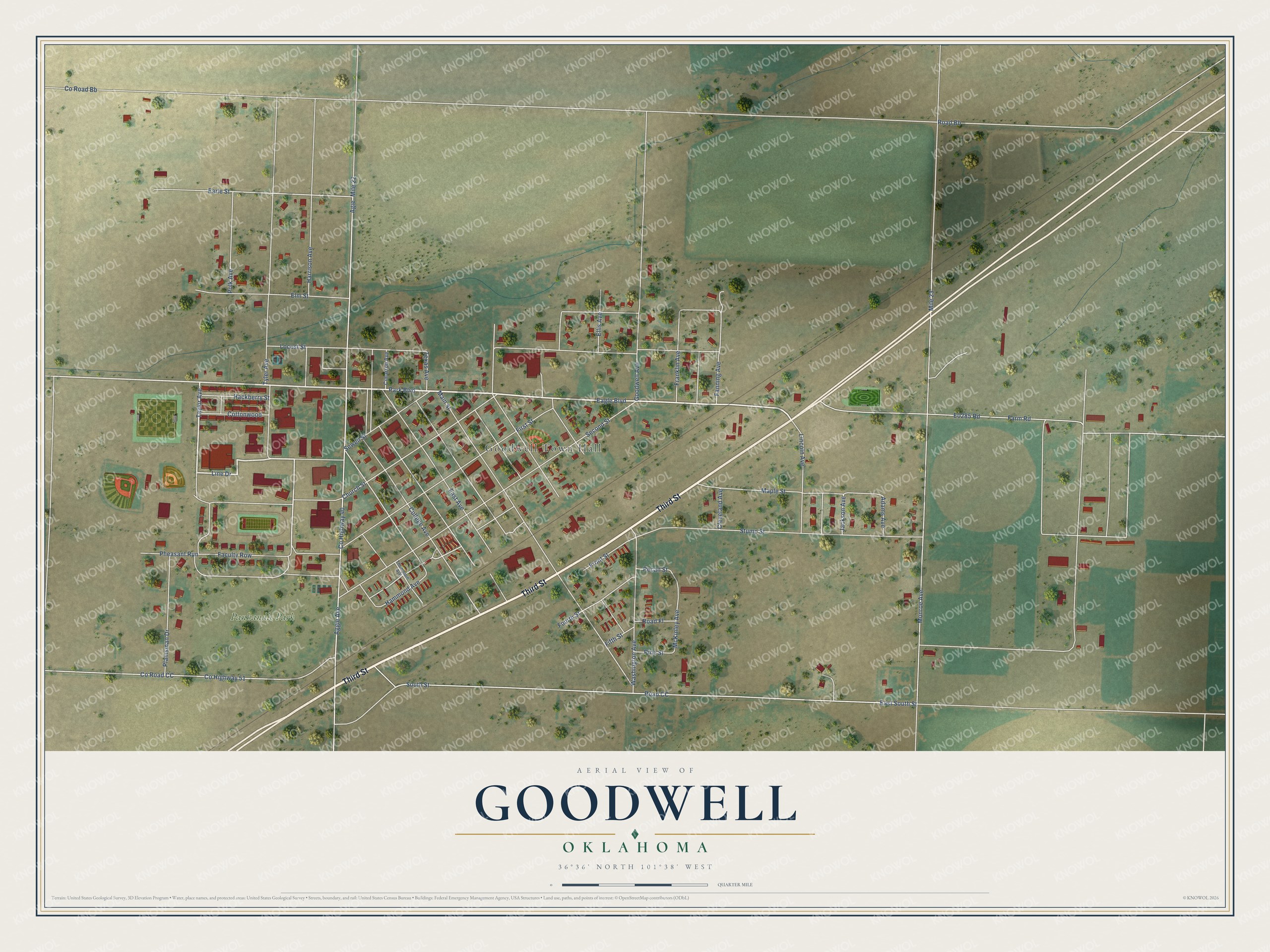
This beautifully detailed map of Goodwell, Oklahoma was created in 2026 using aerial imagery combined with modern topographical, census, street and landmark data. It's a modern aerial view of Goodwell in Texas County, Oklahoma, that combines modern data with a vintage aesthetic. The roads feature printed names, and if you look closely you can find your exact house accurately shown in its correct location.
Explore an aerial view of Goodwell, Oklahoma
On this map you'll find Goodwell Town Hall, Panhandle Park, Third Street, Eagle Boulevard, Taylor Avenue, Line Drive, Church Street, Harrison Avenue, Co Highway 40, Mile 22, Earle Street, South Street, and more. Each red shape is a building, so zoom in on the preview and look for yours.
Goodwell has a story worth telling. The record at okhistory.org puts it this way: "At the turn of the twenty-first century all three had student centers to serve Oklahoma Panhandle State University students with lunches as well as provide for their religious needs."
Goodwell is a town in Texas County.
Take a closer look at the Goodwell map
Names on this map
These names are printed on this map.
Places: Goodwell Town Hall and Panhandle Park.
Streets and roads: Third Street, Eagle Boulevard, Taylor Avenue, Line Drive, Church Street, Harrison Avenue, County Highway 40, Mile 22, Earle Street, South Street, East South Street, Road Bb.
More street names, A to Z
Adams Avenue, Aggie Avenue, Agie, Cimarron Avenue, Cleveland Avenue, College Avenue, Cottonwood, County Highway 51, County Road Bb, County Road CC, East Avenue, Ellis Avenue, Elm Street, Faculty Row, Fanning Avenue, Farm Road, Fifth Street, First Street, Fourth Street, Franklin Avenue, Front Street, Goodwell Avenue, Hackberry Street, Hammond Avenue, Jackson Avenue, Lincoln Avenue, Locust Street, Main Street, Maple Street, McKinley Avenue, Mile 23, Monroe Avenue, Park Boulevard, Pecan Street, Pheasant Run, Pine Street, Plainsman Drive, Polk Avenue, Road CC, Road Ff, Second Street, Sewell Street, Stump Street, Texas Avenue, Thompson Avenue, Tyler Avenue, Washington Avenue.
Created by KNOWOL in 2026. The buildings are small red shapes, the roads carry their printed names, and shaded relief shows the shape of the land. The title panel reads "AERIAL VIEW OF GOODWELL OKLAHOMA" with 36°36' NORTH 101°38' WEST.
It looks right in a kitchen, an office or a den, and it's a gift for anyone who grew up in Goodwell or moved away. Open the preview and find your street. See sizes and frames for the Goodwell map.