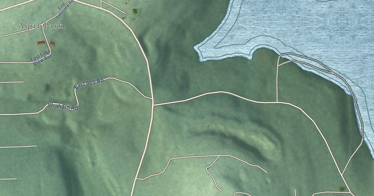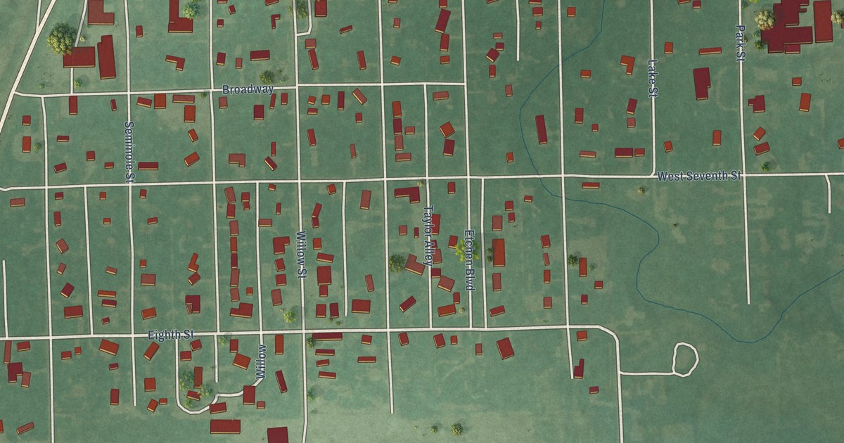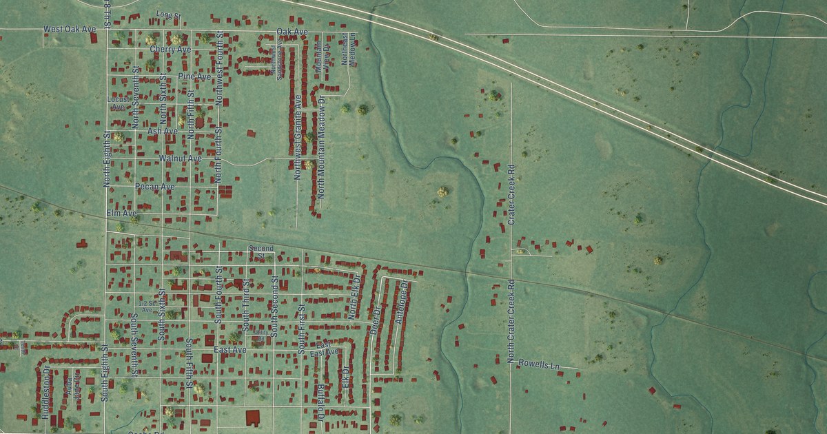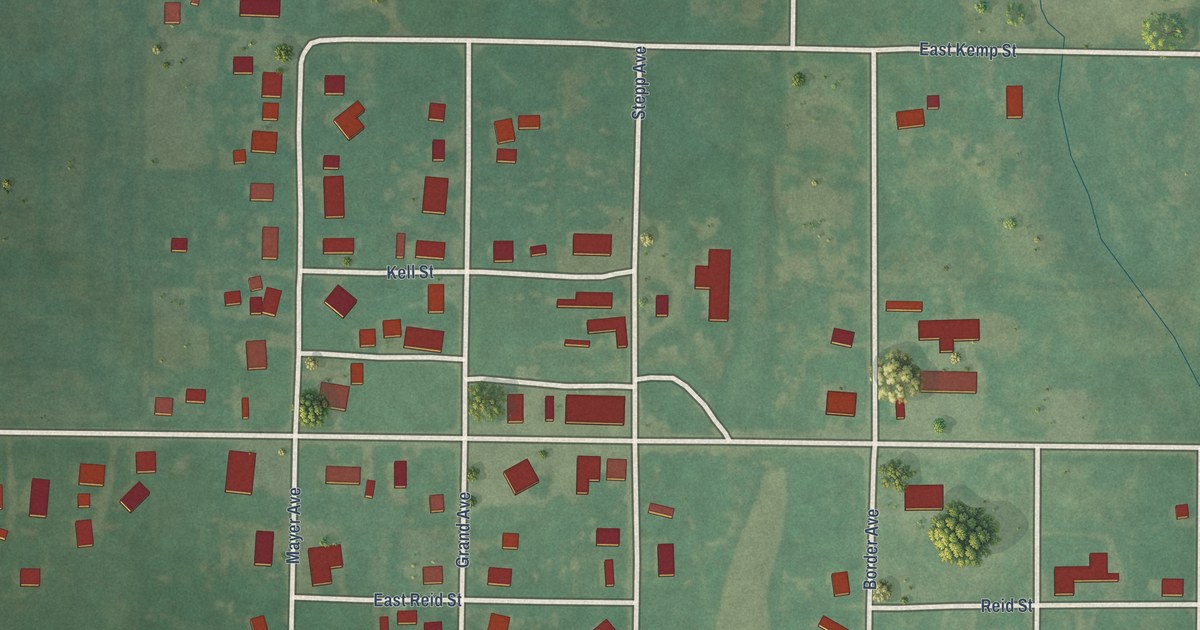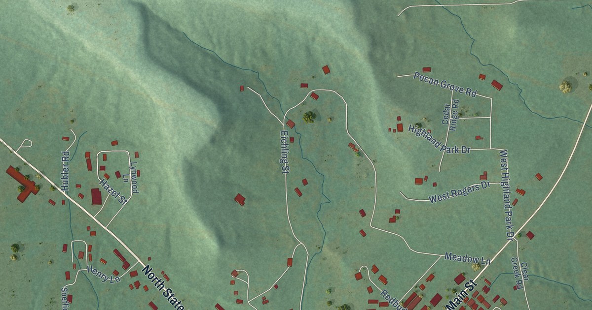
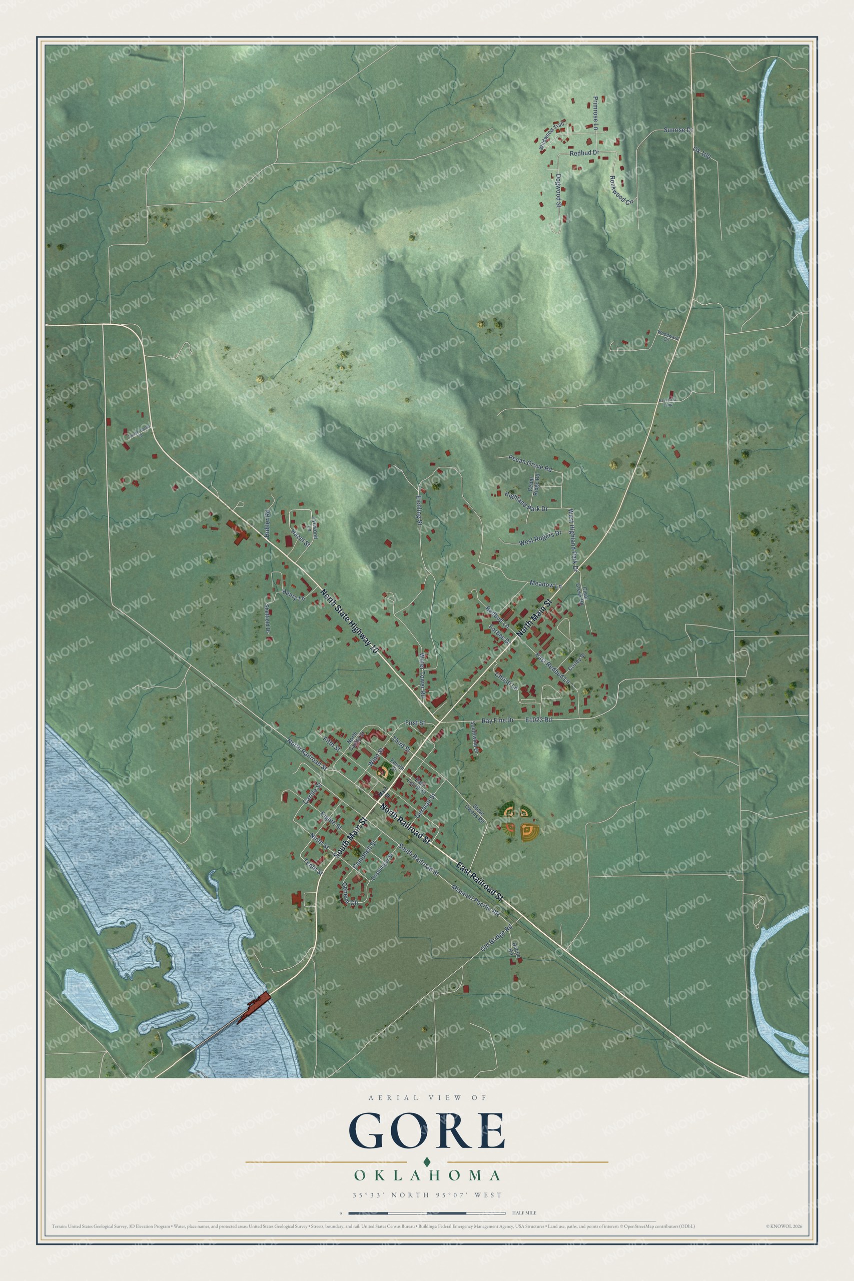
This beautifully detailed map of Gore, Oklahoma was created in 2026 using aerial imagery combined with modern topographical, census, street and landmark data. It's a modern aerial view of Gore in Sequoyah County, Oklahoma, that combines modern data with a vintage aesthetic. The roads feature printed names, and if you look closely you can find your exact house accurately shown in its correct location.
Explore an aerial view of Gore, Oklahoma
On this map you'll find North Railroad Street, North State Highway 10, South Main Street, North Main Street, East Railroad Street, Carlile Street, Ninth Street, South Railroad Street, Missouri Pacific RR, Geneva Circle, Tenth Street, Third Street, and more. Each red shape is a building, so zoom in on the preview and look for yours.
Here is a piece of Gore history, in the words of the record. The record at okhistory.org puts it this way: "During this period Sam Houston, future president of the Republic of Texas, came to the area to see Jolly, who in earlier years had adopted Houston and named him Raven."
Gore is a town in Sequoyah County.
Take a closer look at the Gore map
Names on this map
These names are printed on this map.
Streets and roads: North Railroad Street, North State Highway 10, South Main Street, North Main Street, East Railroad Street, Carlile Street, Ninth Street, South Railroad Street, Missouri Pacific RR, Geneva Circle, Tenth Street, Third Street.
More street names, A to Z
Campbell Street, Cedar Ridge Road, Christi Lane, Clear Creek Road, Conrad-Carter Street, Corley Street, Dogwood Street, East 1013 Loop, East Fourth Street, East Redbud Lane, Eichling Street, Eighth Street, Ensminger Street, Fifth Street, First Street, Forbes Drive, Fourth Street, German Street, Hazel Street, Henry Lane, Highland Park Drive, Hubler Road, Lynwood Lane, Main Street, Meadow Lane, North Carlile Street, Ok 100, Old Bridge Road, Pecan Grove Road, Primrose Lane, Ray Fine Drive, Redbud Drive, Redbud Lane, Rockwood Circle, Sheffield Drive, Southwind Drive, Steve Owens Road, Sunrise Drive, Water Tower Road, West Highland Park Drive, West Rogers Drive, Wildwood Trail, Winn Street, Woodward Circle.
Created by KNOWOL in 2026. The buildings are small red shapes, the roads carry their printed names, and shaded relief shows the shape of the land. The title panel reads "AERIAL VIEW OF GORE OKLAHOMA" with 35°33' NORTH 95°07' WEST.
It suits a den, a classroom or a front hall, and it makes a gift for anyone with Gore roots. Open the preview and find the block you know. See sizes and frames for the Gore map.