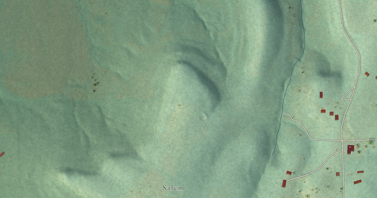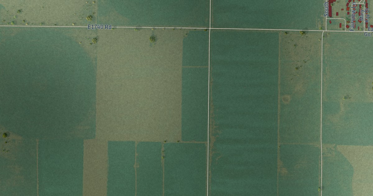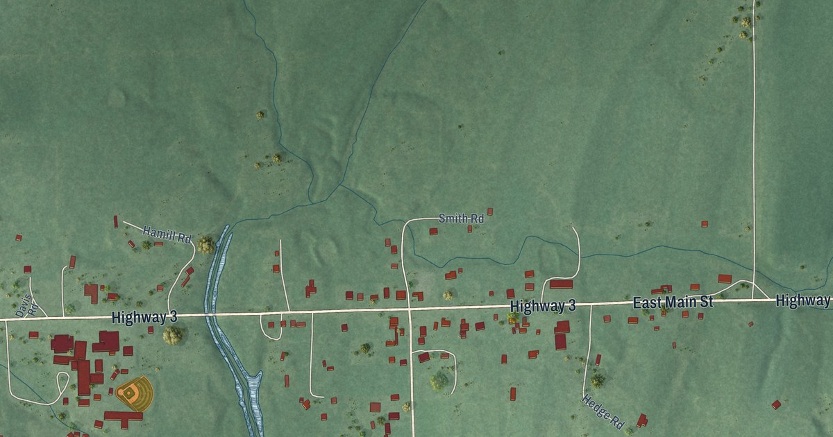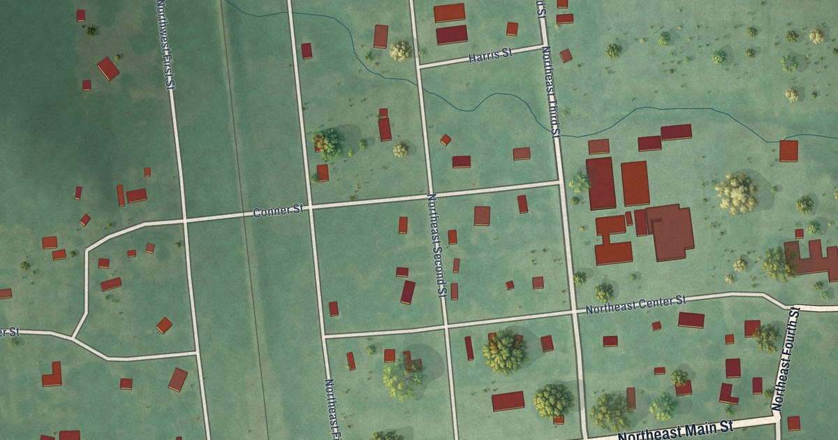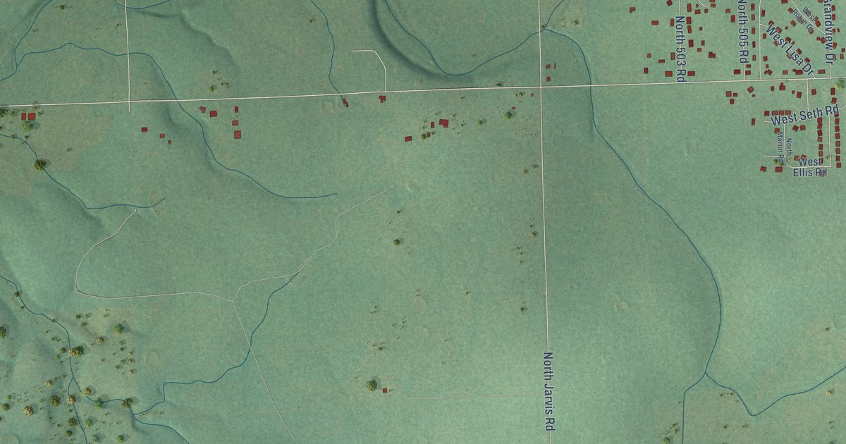
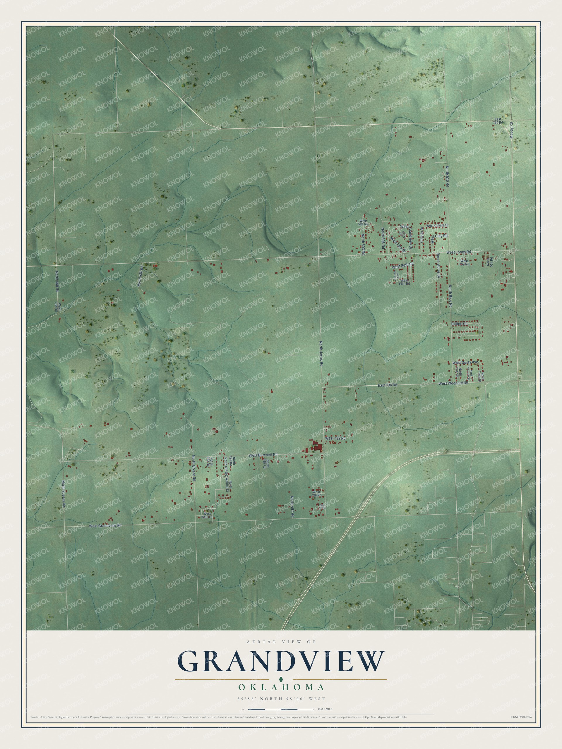
This beautifully detailed map of Grandview, Oklahoma was created in 2026 using aerial imagery combined with modern topographical, census, street and landmark data. It's a modern aerial view of Grandview in Cherokee County, Oklahoma, that combines modern data with a vintage aesthetic. The roads feature printed names, and if you look closely you can find your exact house accurately shown in its correct location.
Explore an aerial view of Grandview, Oklahoma
On this map you'll find West Woodard Road, East 730 Road, West Jones Road, North Rice Road, North 510 Road, North 480 Road, North Jarvis Road, West Grandview Road, West Burchett Road, North Bryant Road, North Spears Road, Ranch Acres Drive, and more. Each red shape is a building, so zoom in on the preview and look for yours.
Here is a piece of Grandview history. Judge Michael O. Ghormley, who knew every Cherokee principal chief from John Ross to W. C. Rogers, made his home at Grandview on the site of the Cherokee Agency. His son William H. Ghormley farmed and taught at Grandview School. That's from the 1978 book Tahlequah and the Cherokee Nation.
Grandview is a community in Cherokee County. The Census Bureau counted 1,321 people here in 2020.
Take a closer look at the Grandview map
Names on this map
These names are printed on this map.
Streets and roads: West Woodard Road, East 730 Road, West Jones Road, North Rice Road, North 510 Road, North 480 Road, North Jarvis Road, West Grandview Road, West Burchett Road, North Bryant Road, North Spears Road, Ranch Acres Drive.
More street names, A to Z
Calista Drive, East 710 Road, Hilltop Circle, Moody Road, North 486 Road, North 492 Road, North 493 Road, North 494 Road, North 495 Road, North 497 Road, North 503 Road, North 505 Road, North 514 Road, North Houston Street, North Martin Road, North Trent Street, North Tyler Street, North Wakins Street, West 504 Road, West 722 Road, West 728 Road, West 732 Road, West 736 Road, West 737 Road, West Calista Drive, West Clay Road, West Dusty Avenue, West Ellis Road, West Grandview Drive, West Lisa Drive, West Robin Drive, West Selu Lane, West Seth Road.
See it on a wall
The Grandview map as a framed print. Swipe for more.


Created by KNOWOL in 2026. The buildings are small red shapes, the roads carry their printed names, and shaded relief shows the shape of the land. The title panel reads "AERIAL VIEW OF GRANDVIEW, OKLAHOMA" with 35°58' NORTH 95°00' WEST.
It suits a den, a classroom or a front hall, and it makes a gift for anyone with Grandview roots. Open the preview and find the block you know. See sizes and frames for the Grandview map.